15 Best Animal Farms in Melbourne for KidsKids love to visit animal farms to get up close to all the animals and experience something of rural life. Most of the farms allow kids to feed, touch and interact with the animals. Some farms even have pony rides.
Me(03)
Guide to the Best National, Regional, Historic and Coastal Parks to Visit in Melbourne and VictoriaThe Melbourne area and country regions of Victoria have many wonderful parks which combine iconic Australian flora and fauna with recreational activities such as walking, picnicking, camping, swimming, boating, canoeing,(03)
Guide to the Best National, Regional, Historic and Coastal Parks to Visit in Melbourne and Victoria
Neuman Track Dragons Nests (Kallista)A magical surprise beckons for those who wander down Neuman Track.
A gravel road (car access is blocked by a gate) leads from a small car parking area off Grantulla Road through a lovely area of tall trees and shady f(03)
Werribee Open Range Zoo (Werribee South)Why travel thousands of kilometres when a taste of African adventure is at your doorstep. Only 30 minutes from Melbourne, Werribee Open Range Zoo is full of amazing animals living in a wide, open savannah. Discover grazi(03) 9731 9600
Animal and Zoo Locations in Melbourne and Victoria for FamiliesMelbourne and Victoria have a range of zoos, children's farms and conservation parks which allow families to experience the wonders of the animal world.
There are three main zoos in and around Melbourne, Melbourne Zoo(03)
Animal and Zoo Locations in Melbourne and Victoria for Families
Shepherds Flat - Lavandula Swiss Italian FarmCome and join us, watch the harvest, relax in our gardens and enjoy the cafe. Around its golden stone farm buildings, Lavandula grows lavender, olives and grapes.
Our daytime cafe, La Trattoria, serves wholesome regio(03) 5476 4393
Shepherds Flat - Lavandula Swiss Italian Farm
350 Hepburn-Newstead Road,Shepherds Flat,
Victoria
Flying Fox Colony at Yarra Bend Park (Kew)Grey-headed flying-foxes are an important part of Melbourne's wildlife. They used to roost in the Royal Botanic Gardens but their presence there was not sustainable due to the sensitive nature of the vegetation. The colo(03)
Royal Botanic Gardens Melbourne (Central Melbourne)Founded in 1846, the Royal Botanic Gardens Melbourne is an inner-city oasis comprising 38 hectares of garden beds, lakes and sweeping lawns. It is home to 52,000 individual plants representing more than 10,000 species fr(03) 9252 2300
Royal Botanic Gardens Melbourne (Central Melbourne)
Royal Botanic Gardens Cranbourne (Cranbourne)The Royal Botanic Gardens Cranbourne is one of Victoria's most precious areas of native bushland and offers nature-lovers the chance to explore 363 hectares of untouched heathlands, wetlands and woodlands. These expansiv(03) 5990 2200
Royal Botanic Gardens Cranbourne (Cranbourne)
Cnr Ballarto Road and Botanic Drive,Cranbourne,
Victoria
Dandenong Ranges Botanic Garden (Olinda)The Dandenong Ranges Botanic Garden which was formerly named the National Rhododendron Gardens, are host to brilliantly coloured blooms of rhododendrons, azaleas, camellias, cherries and daffodils. Seasonal changes ensur(03)
Acheron Cutting LookoutsAcheron Cutting Lookout (upper and lower) are roadside lookouts located on the Maroondah Highway, 7.2 km (6 minutes drive) from Alexandra and 11 km from Taggerty (8 minutes drive).
The upper lookout view is obscured b(03)
Albacutya - Lake Albacutya ParkAdjoining Wyperfeld National Park, this park is an important habitat for woodland species, and when flooded is a vital wetland for migratory birds. The parks and reserves of the MurrayMallee are large and diverse. They a(03)
Albert Park & Albert Park LakeAlbert Park is approximately three km from the CBD of Melbourne. It is a 225 ha sporting and recreational park that caters for formal and informal recreation. Albert Park is the focus for many of Victoria's spectacular e(03)
Albury - The Wagirra TrailAt present, the Wagirra Trail extends from the Union Bridge in South Albury to Wonga Wetlands in West Albury, covering a distance of six kilometres. The trail is 2.5 metres wide and is sealed making it accessible to user(03)
Albury - Wonga WetlandsWonga Wetlands, downstream from Albury along the floodplain of the Murray River, is an ecosystem of lagoons and billabongs covering around 80 hectares, Wonga Wetlands is a haven for wildlife and a mecca for birdwatchers,(02) 6043 5820
Albury Botanic GardensFor the past 130 years, the Albury Botanic Gardens has graced the western end of Albury's CBD. While the trees have matured and the layout has been modified, the Gardens has lost none of its beauty and charm - and to thi(03)
Albury Botanic Gardens
Cnr Dean Street and Wodonga Place,Albury,
Victoria
Alex Wilkie Nature Reserve (Springvale South)The Alex Wilkie Nature Reserve is a valuable educational and cultural resource ideal for people interested in walking through some of the region's most beautiful bushland.
A ranger is on hand for guided tours, and to (03) 9239 5100
Alexandra - Red Gate Bush Tucker TrailThe town of Alexandra was originally known as the Red Gate by early settlers and Red Gate Diggings by gold miners in late 1866. The Red Gate, situated on the banks of the Ultima Thule Creek, marked the break in the bound(03)
Alexandra Gardens (Central Melbourne)On the south bank of the Yarra River, the Alexandra Gardens connect to Kings Domain, the Domain parklands and the landscaped Royal Botanic Gardens.
First laid out in 1904, the gardens' most notable feature is the line(03)
Alfred Nicholas Gardens (Sherbrooke)The many linking paths through this garden take you beneath a canopy of the awesome mountain ash trees of the Dandenong Ranges. The garden was part of the historic Burnham Beeches Estate, home of Alfred Nicholas, develop(03)
Alister Clark Memorial Rose Garden (Bulla)Enjoy a stroll through the magnificent rose gardens, located in the heart of Bulla. The rose gardens display a spectacular variety of stunning roses. Alister Clark's aim was to produce the first rose that flowered all ye(03)
All Nations Park (Northcote)All Nations Park is a contemporary 13 hectare regional park created on the site of the former 'Northcote Landfill'. Situated behind Northcote Shopping Plaza the elevated site provides views, which are a striking feature (03)
Alma Brown Reserve (Greensborough)This 5 hectare reserve of remnant bushland is open from dawn to dusk, with gates locked nightly. Activities in the park include walking/bike trails and wildlife observation.
History
In 1990, the reserve was given to (03)
Alowyn Gardens (Yarra Glen)Alowyn Garden is designed along strong symmetrical lines that become blurred by the softness of the spaces and the grace of the trees, within an area of approximately 4 acres. There are 5 clearly defined areas within the(03) 9730 2400
Alpine National ParkThe Alpine National Park stretches from central Gippsland all the way to the New South Wales border where it adjoins Kosciuszko National Park. Within the park are some of Australia's most stunning alpine landscapes, incl(03)
Altona Coastal Park (Seaholme)Altona Coastal Park is a 70 hectares intertidal and salt marsh area in the Altona area. It is an important recreational and nature conservation area, providing habitats for a large biodiversity of flora and fauna. It is (03)
Altona Coastal Park (Seaholme)
Cnr Altona Road and Pines Scout Camp Road,Seaholme,
Victoria
Alvie - Red Rock Scenic LookoutsThe scenic lookouts are atop one of Victoria's youngest volcanoes. There are two lookouts.
Eastern Lookout (named Memorial Dial on the sign post) - To the North East are Beeac township and Lake Beeac. The milky white(03)
Anakie Gorge Walk (Staughton Vale)The 7 km return (3 hour) Anakie Gorge Walk follows Stony Creek through the Anakie gorge in the Brisbane Ranges National Park between the Lower Stony Creek Reservoir and picnic area at Anakie Gorge along a relatively flat(03)
Andrew Yandell Reserve (Greensborough)The 6 hectare Andrew Yandell reserve includes 5 hectares of pre-European remnant bushland.
It has a concrete path and stairs running down the western side of the reserve, and is segmented by some older paths, goat tra(03)
Anglesea Golf Club Kangaroo ToursIt's little wonder that Australia's most recognised national symbol - the kangaroo - is so closely tied to the identity of the Anglesea Golf Club. Our internationally renowned mobs of the Eastern Grey kangaroo have been (03) 5263 1582
Anglesea HeathTake a close look at this remarkable heathland and you will be richly rewarded. The tapestry of heathlands, woodlands and paperbark swamps bursts into colour in springtime, and is claimed as the richest and most diverse (03)
Animal Land Childrens Farm (Diggers Rest)A place where children can learn and interact with farm animals, have a pony ride, milk a cow and lots more.
Animals on the farm love it when children come to visit them. Meet all types of farm animals. From cows, she(03) 9740 1345
Anthony Beale Reserve (St Helena)Anthony Beale Reserve is a 10.12 hectare reserve located next to historic St Katherine's Church in St. Helena, and provides views due to its elevation. The reserve comprises two sport ovals, a simple playground on(03)
Antonio Park (Mitcham)Antonio Park is seven hectares in size and includes a playground, walking trails, remnant bushland, a BBQ area and bird watching opportunities.
History - The park is named after the Antonio family who were firs(03)
Apollo Bay - Marriners LookoutPerched high above Apollo Bay, Marriners Lookout offers one of the finest panoramic views along the Great Ocean Road. A short (1km return) but fairly steep walk leads to a viewing area overlooking Apollo Bay, the sweepin(03)
Apollo Bay - Urquharts FallsUrquhart's Falls is about a 5 minutes drive east of Apollo Bay along the Great Ocean Road. After about 4 km, just before Seafarers Getaway (6080 Great Ocean Rd, Apollo Bay), you will see the waterfall on your left.
Th(03)
Apollo Bay - Wildlife WondersImmerse yourself in the wilds of the Otways at Wildlife Wonders on the Great Ocean Road.
Whether you join us to spot a koala on a guided nature walk in our wildlife sanctuary, to unwind with a great coffee, or find a (03) 7046 1664
Ararat - Alexandra GardensWander around Alexandra Gardens and discover the fernery, orchid glasshouse (Cymbidium orchid display from July to November), Alexandra Lake with a 800m walk around the perimeter, Asian island, nice playground under shad(03)
Ararat - Alexandra Gardens
Cnr Vincent Street and Alexandra Avenue,Ararat,
Victoria
Ararat - Ararat Hills Regional ParkClose to the rural city of Ararat, this park is a wonderful place to enjoy a scenic drive, picnic, or a leisurely walk among woodland, spring wildflowers and abundant wildlife.
Three separate, easily-accessible blocks(03)
Ararat - Ararat Hills Regional Park
Cnr Western Highway and Main Divide Road,Ararat,
Victoria
Archerton - Stringybark Historical ReserveStringybark Historical Reserve is where the infamous shoot out between police and the Kelly Gang took place on 26 October, 1878. The Gang surprised the police at their camp and, in the ensuing gun battle, three policeman(03)
Arnolds Creek Circuit (Melton)The Arnolds Creek Circuit provides and interesting and scenic tour of Melton's south. Keep an eye out for the picturesque view of the Melton viaduct peaking out between the valley floor.
The viaduct which spans Werrib(03)
Arthurs Seat State Park (Arthurs Seat)Rising above the Mornington Peninsula, Arthurs Seat is the most familiar of all Port Phillip Bay landscape features. It's 314 m summit, reached by road or foot, gives spectacular views of the bay and Port Phillip Heads. (03)
Arthurs Seat State Park (Arthurs Seat)
Cnr Arthurs Seat Road and Purves Rd,Arthurs Seat,
Victoria
Ascot - Lambley Gardens & NurseryDavid Glenn and Criss Canning's Gardens and Nursery near Ballarat are world renowned as a benchmark in beautiful sustainable gardening. The complex of gardens are an inspiration to visitors from around the world and a mu(03) 5343 4303
Aura Vale Lake Park (Menzies Creek)Aura Vale Lake is a popular location for boating and other water sports. The lake forms part of a diverse drainage system designed to channel runoff water from the developed areas of the southern fringe of the Emerald ri(03)
Australian Botanic Gardens Shepparton (Shepparton)The Australian Botanic Gardens Shepparton uses Australian native plants in themed gardens designed to represent the cultural, environmental, historical and agricultural characteristics of Greater Shepparton and the Goulb(03)
Australian Botanic Gardens Shepparton (Shepparton)
Bacchus Marsh - Avenue of HonourFirst planted in 1918 with 281 Canadian Elm Trees, the Avenue is a living memorial created to commemorate those who served in World War One. Being one of the last remaining Avenues in the world lined with Canadian Elms, (03)
Bacchus Marsh Council Trench Geological Reserve (Triassic Park)This small reserve located to the north of Bacchus Marsh holds an important key to understanding the past. In a small quarry, unusual sedimentary rocks are exposed providing a window into Victoria's distant geological hi(03)
Bacchus Marsh Council Trench Geological Reserve (Triassic Park)
Bairnsdale - Macleod Morass Wildlife ReserveMacleod Morass is a 520 hectare, deep freshwater marsh, of which the Long Waterhole was once the bed of the Mitchell River. The morass receives flood waters from the river and local catchment runoff. In spite of the quie(03)
Balbirooroo Wetlands Walk (Balnarring)The Balbirooroo Wetlands has lots of bird life with bird hides and information boards at intervals along the track which provide details of the flora and fauna in the area. Balbirooroo is a Koori word meaning 'ibis'.
(03)
Balbirooroo Wetlands Walk (Balnarring)
3085 Frankston - Flinders Road,Balnarring,
Victoria
Balcombe Estuary Reserve (Mount Martha)Balcombe Creek, with its estuary, is the last unspoilt waterway entering the eastern side of Port Phillip Bay. The Reserves cover 44 hectares of natural bushland along the creek's lower reaches.
The Boonerwrung, the M(03)
Ballan - Bostock ReservoirBostock Reservoir is one of the state's most important drinking water reserves. Bostock Reservoir is located across the east arm of the Moorabool River, just below its junction with Paddock Creek. It was constructed to e(03)
Ballarat - Lake WendoureeBeside Lake Wendouree are playgrounds, picnic areas and BBQ facilities which provide many areas for fun and socialising while lake-side cafes and restaurants provide welcome stops from walks by the Lake.
There is a 6k(03)
Ballarat - Yuilles Wetlands (Sebastopol)The Yuilles Wetlands area has a boardwalk, lookout jetty and connecting paths to the Yarrowee River. There are plenty of waterbirds in the area.
There is a driveway down to 'Yuille's Station' park sitting above the we(03)
Ballarat - Yuilles Wetlands (Sebastopol)
41 Vickers St, Sebastopol VIC Sebastopol,
Victoria
Ballarat Botanical Gardens (Lake Wendouree)The Ballarat Botanical Gardens covers 40 hectares divided into three distinct zones - the central Botanical Gardens which preserves the 'gardenesque' style of the Victorian pleasure garden, and open parkland buffers on e(03)
Ballarat Wildlife Park (Ballarat East)Set upon 32 acres of woodland is a collection of Australian native animals and reptiles which have been chosen for their educational and conservation potential. The Reptile collection features over 200 snakes, lizards, t(03) 5333 5933
Ballarat Wildlife Park (Ballarat East)
Cnr York St and Fussell St, Ballarat East,
Victoria
Balook - Tarra Bulga National ParkHidden within the Strzelecki Ranges, Tarra Bulga National Park features lush fern-filled gullies, giant Mountain Ash and ancient Myrtle Beech. Visitors have long enjoyed strolling along one of the nature walks or picnick(03)
Baluk Willam Flora Reserve (Belgrave South)Baluk Willam Flora Reserve, south-west of the Dandenong Ranges, is particularly significant for its flora and is a sanctuary for over a third of Victoria's orchid species.
Facilities are limited, there are no BBQ, pic(03)
Baluk Willam Flora Reserve (Belgrave South)
Cnr Courtneys Road and Orchid Road,Belgrave South,
Victoria
Banksia Park (Bulleen)In 1841 a punt was installed on the Yarra River at the site of the bridge at Banksia Park. It opened the best route between Melbourne and the Bulleen-Templestowe area enabling the earliest Europeans to settle along the r(03)
Banyule Flats Reserve (Viewbank)Banyule Flats Reserve is a 46.47 hectare reserve which connects to the Yarra Valley Parklands and the Warringal Parklands, and there are many walking tracks. The Main Yarra Trail follows the Banyule Swamp and Silt Pond, (03)
Banyule Northern Grassland Reserve (Heidelberg West)This 6 hectare reserve's main vegetation community is plains grassy woodland, and is comprised of many plant species unique within Banyule. The grassland forms part of the Darebin Creek Trail Park, an important wildlife (03)
Barmah National ParkBarmah National Park, together with the adjoining Millewa forest in New South Wales, forms the largest River Red Gum forest in the world. The complex ecology of the forest is closely linked to the Murray River and its fl(03)
Barooga Botanical GardensThe Barooga Community Botanical Gardens were established in 1992 and opened in November 1993. The gardens cover an area of approximately 6 acres of manicured gardens, trees and walkways.
The Gardens contain a children(03)
Barooga Botanical Gardens
Cnr Nangunia Street and Hughes Street,Barooga,
Victoria
Barramunga - Stevensons FallsStevensons Falls is one of the Otways' most picturesque waterfalls, where the Gellibrand River plunges around 15 metres over a wide rock ledge into a fern-lined gorge. The falls flow year-round but are most spectacular d(03)
Barwon Heads Bluff WalkThe Bluff at Barwon Heads is a spectacular walk. A walking track snakes around the headland offering spectacular ocean and estuary views while at low tide you can walk beneath the cliffs and explore the dozens of rock po(03)
Bass Coast Bird TrailsThe Bass Coast abounds with a wide variety of birds.
1. The Gurdies Nature Reserve
This reserve protects one of the few significant remnants of coastal woodland on Western Port. There is a small wayside (03)
Bass Coast Twitcher TrailPhillip Island and the Bass Coast are a haven for bird watching! Greet migratory short-tailed shearwater birds on their journey from Alaska, see rare wading birds, parrots, resident purple hens and Cape Barren Geese, see(03)
Bass Coast Whale TrailSpot whales from the coast, on the water or from the sky during winter-time. May to October is the time when our coastal waters play host to Humpback Whale and Southern Right Whales, some of the ocean's most majestic cre(03)
Batesford - Dog RocksAn interesting area to explore which has a dramatic granite outcrop which provide interesting photographic opportunities and rock climbing for the kids. Also a fun area for remote control rock crawlers. The area obtained(03)
Baw Baw National ParkSpectacular summer wildflower displays and snowy woodlands in winter highlight the changing beauty of Baw Baw National Park. Gnarled Snow Gums and Alpine heaths stretch across the Baw Baw Plateau, while majestic tall for(03) 5165 1136
Baw Baw National Park
Mount Baw Baw Tourist Road,Baw Baw Village,
Victoria
Bayles Fauna Park (Bayles)Whether you are looking for somewhere to take a gentle stroll or somewhere to take a closer look at wildlife, where else would you go but amongst the peaceful setting here in the Bayles Fauna Reserve. Here at the park yo(03) 5629 4456
Beachcomber Falls (Smiths Beach)These single tier, cascade falls are not marked on maps. They are located at the back of the YCW beach on Phillip Island.
The falls are ephemeral in nature which means that they only run after rainfall and then stop r(03)
Beech Forest - Californian RedwoodsCalifornian redwoods are noted for their extreme height and are indigenous to coastal California and the southwestern corner of Oregon in the United States.
These redwoods were planted in the Great Otway National Park(03)
Beech Forest - Californian Redwoods
The Redwoods Otways, Binns Road,Beech Forest,
Victoria
Beech Forest - Beauchamp FallsThe 2.5km (1-2 hours) return walk leaves from the Beauchamp Falls Campground picnic area and takes you to the spectacular 20m waterfall. Walkers will enjoy scenic views of mountain ash, myrtle beech, blackwoods and lush (03)
Beech Forest - Hopetoun FallsSoak up the spray as the Hopetoun Falls plummet 30 metres into the Aire River in the Great Otway National Park. Take in the view from the upper platform, or descend some 200 stairs leading through glades of tree ferns to(03)
Beech Forest - Little Aire FallsHidden deep within the Great Otway National Park, Little Aire Falls is one of the Otways' most beautiful waterfalls. A single 30-metre cascade plunges into a lush fern-filled gully, surrounded by towering Mountain Ash, M(03)
Beech Forest - Triplet FallsTriplet Falls is one of the iconic visitor sites in the Great Otway National Park. Nestled amongst the ancient forests of Mountain Ash and Myrtle Beech, you will discover three distinct and impressive cascades flowing th(03)
Beechworth - Chiltern-Mount Pilot National ParkLocated between Beechworth and the low hills surrounding Chiltern, this park includes the striking Mt Pilot Range and Woolshed Falls and protects box-ironbark forest that once covered much of north-east Victoria.
Shor(03)
Beechworth - Newtown FallsNewtown Falls along Spring Creek are only a short distance from Beechworth along Gorge Road close to Bridge Road and the Newtown bridge.
There is a parking area and viewing platform beside Gorge Road.
The falls a(03)
Beechworth - Woolshed FallsLocated in the Woolshed Valley only a 10 minute drive from Beechworth are the historic and impressive Woolshed Falls. More than 8000 miners and diggers once worked the banks of the river here being one of the richest gol(03)
Beechworth CascadesThe Beechworth Cascades are located in the Beechworth Historic Park. The cascades are a series of waterfalls where Spring Creek drops down into the valley. They are especially spectacular after rain.
The cascades can(03)
Beechworth Historic ParkAdjoining the popular tourist town of Beechworth, Beechworth Historic Park has a rich goldmining past easily explored by foot.
Enjoying the Park:A variety of short and long walks in and around the Gorge and Lake Kerfe(03)
Bellbird Dell Reserve (Vermont - Vermont South)Named after the distinctive sound of the bellbird, the reserve consists of open space, shared trails, feature ponds, picnic facilities and playgrounds, all within a natural bushland setting.
Bellbird Dell is a 1.4 km (03)
Bellfield - Silverband Falls (Grampians National Park)Take a short stroll through shady, ferny forest to arrive at the base of Silverband Falls. The falls, fed by Dairy Creek, were named by European settlers for the narrow band of water that tumbles down the rock face. Watc(03)
Bellfield - Silverband Falls (Grampians National Park)
Belmont Bush Reserve (Montmorency)Belmont Bush Reserve is a 1.02 hectare reserve which has many important flora and fauna species. It is one of a number of isolated reserves within Montmorency that form a habitat corridor. There are mown areas by the ent(03)
Benalla - Reef Hills State ParkA haven for wildlife and native vegetation, Reef Hills State Park near Benalla is a great spot for a picnic, scenic drive, bushwalk, bike ride, recreational prospecting or horse ride. The park will delight visitors year-(03)
Benalla Botanical GardensThe Benalla Botanical Gardens were designed and developed in 1886 by Alfred Sangwell and were listed on the Register of the National Estate in 1995. They are significant because much of their original layout remains inta(03)
Bendigo - Lake WeeroonaLake Weeroona is a beautiful ornamental lake and reserve, set on 18 hectares, which was transformed from a dusty mining area in the 1870s.
Take a walk around the picturesque lake, enjoy a coffee, a heart warming meal(03)
Bendigo - Rosalind ParkLocated in the centre of town, Rosalind Park is Bendigo's premier park. It is a significant site for its historic trees, buildings, structures and landscapes that are reflective of Bendigo's character. Retreat to its co(03)
Bendigo - Rotary Gateway Park (Kangaroo Flat)Gateway Park is a nice location beside the Bendigo Creek Trail which has a lake with lots of waterbirds, toilets, car parking, barbeque and picnicking facilities.
The Bendigo Creek's native vegetation help(03)
Bendigo Botanic Gardens (White Hills)Established in 1857 the Bendigo Botanic Gardens are almost as old as Bendigo itself with the site appearing on a 1854 plan of the White Hills township just a couple of years after gold was first discovered in Bendigo in (03) 5434 6000
Big Desert Wilderness ParkThe Big Desert Wilderness Park is a very isolated area with no tracks into the park and provides the opportunity to walk through a true wilderness area.
Birdwatching and nature study are rewarding in this area which i(03)
Bimbadeen Phillip Island Farm Tours (Ventnor)Become a farmer for a day on our Bimbadeen Phillip Island Farm Tours! Learn about life on our working farm, help us collect our free range eggs and feed our resident farm animals. You can also choose to enjoy a tasty pad0409 167 001
Birdsland Reserve (Belgrave Heights)Birdsland is a 75ha bushland reserve located in Belgrave Heights. The reserve is home to many native animals and birds, including platypus. Birdsland is a great spot for a picnic or bush walk, with it's walking tracks, B(03)
Birrarrung Park (Templestowe Lower)Situated at the confluence of the Plenty and Yarra Rivers, this 33 hectare park was in
important meeting place for the Wurundjeri people. Birrarrung Park is a significant recreation space within the parks along the Yar(03)
Birrarrung Park (Templestowe Lower)
Cnr Templestowe Rd and Sheahans Rd,Templestowe Lower,
Victoria
Blackburn Creeklands (Blackburn)The Blackburn Creeklands park consists of three continuous bushland reserves along Gardiners Creek: Blacks Walk, Kalang Park and Furness Park - featuring wetlands, two creeks, three playgrounds, walking tracks and more t(03)
Blackburn Lake Sanctuary (Blackburn)Blackburn Lake Sanctuary has indigenous bushland, a lake, extensive walking tracks, Visitors Centre and two playgrounds.
The centre-piece of the Sanctuary is the man-made lake Blackburn Lake which was formed in 1889 b(03)
Blackwood - The Garden of St ErthThe Garden of St Erth is a secluded getaway not far from Daylesford and Ballarat and is the perfect destination for a day trip. Stroll through the gorgeous and inspirational gardens. Each season has something to offer th(03) 5368 6520
Blind Bight Foreshore ReserveBlind Bight Foreshore Reserve is 35.5 hectares of bushland which is renowned for its rare and threatened wildlife - and abundant indigenous orchids and wildflowers in Spring. Explore the coastline with bird watching all (03)
Blue Lotus Water Garden (Yarra Junction)Attractions include:
The Garden - The Blue Lotus Water Garden is a tropical style water garden spread over 15 acres featuring two lakes, three dams and dozens of ponds all planted with tens of thousands of Lotu(03) 5967 2061
Blue Waters Lake Reserve (Ocean Grove)Blue Waters Lake is a lovely lake surrounded by a path and flanked by houses which is a regular stop-over for pelicans, swans, ducks and numerous bird life.
Review:
Maybe not exactly blue, but when we visited in May(03)
Bolin Bolin Billabong Walk (Bulleen)The Bolin Bolin Billabong Walk starts and finishes at Bulleen Park, Bulleen Road, Bulleen.
Your walk takes you through riverine habitat, along narrow dirt paths and into the sacred domain of the Bolin Bolin Billabong.(03)
Bolwarra - Treloar Roses Display GardenThe best way to choose a rose is to see them growing in a garden setting. We encourage visitors to our nursery to be inspired by the magnificent display garden which showcases over 200 rose varieties.
Located in the f1300 044 852
Bolwarrah - Moorabool Reservoir ParkLocated on the banks of the Moorabool River and overlooking the reservoir, the Moorabool Reservoir Park provides a beautiful recreation area with BBQs and picnic facilities.
The historic Moorabool Lodge is situated in53 203 162
Boolarra - The Old Mill SiteThe Old Mill Site in Boolarra is in a corner of state forest close to town. Since the devastating 2009 bushfires, when the area was burnt, Boolarra South Landcare Group has been at work developing the site. There are mor(03)
Box Hill Gardens and Kingsley Gardens (Box Hill)Box Hill Gardens is a fairly large area with open grassy areas for games, a large pond with ducks, two playgrounds, War Memorial, cricket pitch, BBQs and toilets.
The playgrounds are Irving Avenue Playground on(03)
Braeside Park (Braeside)Braeside Park is a large, natural area in a suburban sandbelt. Nestled amongst golf courses, urban development and busy roads, it has the quality of an oasis. The park offers easy walking and cycling trails that meander (03)
Briagolong State ForestThe Briagolong State Forest provides for a variety of activities including picnicking, camping, walking, swimming, sightseeing, and car touring.
Note: The Freestone Creek Road is a narrow 2WD gravel road and is not su(03)
Bridge Creek - Back Creek Falls (Mount Samaria State Park)Set in tall, shady eucalypt forest, Mount Samaria State Park offers a cool and quiet retreat for beautiful walks, camping and picnicking. The Mount Samaria range incorporates a variety of scenery with spectacular vistas (03)
Bridge Creek - Back Creek Falls (Mount Samaria State Park)
Bridge Creek - Wild Dog Creek Falls (Mount Samaria State Park)Set in tall, shady eucalypt forest, Mount Samaria State Park offers a cool and quiet retreat for beautiful walks, camping and picnicking. The Mount Samaria range incorporates a variety of scenery with spectacular vistas (03)
Bridge Creek - Wild Dog Creek Falls (Mount Samaria State Park)
Bright - Apex Park with Steam EngineThe park has an old steam engine (for viewing only), four shaded tables, BBQ and water tap on a steep grassy area with a creek running through it. There is a wooden bridge which crosses the creek.
Photos:
(03)
Bright - Scenic LookoutsThere are a number of lookouts near Bright. They are accessible via a car on forestry roads or possibly walking.
Apex Lookout - This lookout overlooks the town from the north. It is reached from the Mt Porepunk(03)
Bright - Tawonga Gap Road Loookout PointsOn the Tawonga Gap Road between Bright and Mount Beauty there are a number of lookout points with lovely views of the valley below. There is one point at the top of the Tawonga Gap, 7.6km from Mount Beauty (with viewing (03)
Brimbank Park (Keilor East)Brimbank Park was opened in 1976 as part of the Maribyrnong Valley Park. Fifty-five metres below the western plains, the Maribyrnong River flows at the base of a high bank. This turns the park into a big amphitheatre, id(03)
Bringalbert - Lake BringalbertLake Bringalbert is an idyllic spot set amongst the West Wimmera Redgums.
There is free camping for tents or caravans on private sites spread around part of the lake (the majority of the shoreline is bordered by pri(03)
Buchan - Basin Creek FallsA hidden gem for the adventurous - spectacular falls on the side of the Snowy River. However, the falls may be dry or running slowly if there has not been recent rain.
The trail head to the falls occurs before the end(03)
Buchan - W Tree FallsW Tree creek is located within the Snowy River Basin and contains the two tiered W Falls. A short track leads to above the falls which are about 20m high.
Getting There:
The waterfall is located along Gelantipy Road (03)
Buchan Caves Reserve (Buchan)Nestled in a picturesque valley in East Gippsland, the Buchan Caves Reserve hides an underground world of colour and enchantment just waiting to be discovered. Hundreds of caves are located in this region and some of the(03) 5155 9264
Buckley Falls (Highton)Buckley Falls is a rock cascade in the Barwon River at Highton. There are three cascades along this part of the river - one upstream at Baums Weir, one at the main Buckleys Falls and another opposite the former paper mil(03)
Buckley Nature Conservation Reserve (Balnarring)Buckley Nature Reserve is an easy 2.2km circuit walk which has a wide diversity of vegetation including native orchids during the warmer months of the year and many varieties of birds and native animals.
There are act(03)
Bulleen Art & Garden (Bulleen)Bulleen Art & Garden is a garden centre with a focus on the environment and creativity.
We like to think of Bulleen Art & Garden as one large eclectic work of art! - We are adding new art works and when we do some imp(03) 8850 3030
Bulwidj Reserve (Smiths Gully)Bulwidj Reserve is a nature reserve with a trail.
Panton Hills Bushland Reserves Map
There are seven bushland reserves in the Panton Hill, Smiths Gully and Watsons Creek area collectively known as the Panton Hill Bus(03)
Bundoora Park (Bundoora)Bundoora Park is a 180 hectare parkland set in natural bushland beside the Darebin Creek and rising to Mount Cooper. A scenic drive takes you to the upper reaches of the park to see commanding views of the City and count(03)
Bundoora Park Childrens Farm - Coopers Settlement (Bundoora)The Urban farm presents an authentic farm experience with a variety of animals to touch and hold. Come and visit the main barn at 11.20am and 3.30pm and you will have the chance to bottle feed our very excited lambs and (03) 8470 8170
Bundoora Park Childrens Farm - Coopers Settlement (Bundoora)
Bungalook Reserve (Kilsyth South)Bungalook Conservation Reserve is a conservation area of state level significance located in Kilsyth South.
The reserve is home to expansive bushland, wetlands, wildlife and walking tracks with great views of the Dand(03)
Buninyong Botanic GardensEstablished in the 1860s around a natural spring, the two hectare Buninyong Botanic Gardens were designed with the support of the director of the Royal Melbourne Botanic Gardens, Ferdinand Von Mueller. They have a splend(03)
Buninyong Botanic Gardens
Cnr Cornish Street and Scott Street,Buninyong,
Victoria
Bunjil Reserve (Panton Hill)This reserve contains a great diversity of plant species from the majestic white Candlebark in the gullies to delicate orchids and wild flowers on the slopes.
A number of rare and threatened flora and fauna species ha(03)
Bunyip State Park (Tonimbuk)In February 2009, 45 per cent of Bunyip State Park was burnt by wildfire. Despite this dramatic event this park is once again an amazing escape where you can breathe fresh air and enjoy native plants and animals.
See (03)
Burke Road North Reserve (Ivanhoe)Burke Road North Reserve is a 6.5 hectare reserve which is surrounded by roads, Ivanhoe Public Golf Course and the Yarra River to the south. It has easy access to the Main Yarra Trail bike and walking track. There is a l(03)
Burke Street South Wetlands (Glen Iris)The Burke Street South Wetlands is a small wetlands area bordered by Gardiners Creek Trail to the south and Burke Road South Reserve to the north. There is access from Sinclair Avenue.
There are a number of small pond(03)
Burkes Lookout (Mount Dandenong)Burkes Lookout is one of the most historically significant viewpoints in the Dandenong Ranges, offering wonderful sweeping views across Melbourne, Port Phillip Bay and, on clear days, as far as the You Yangs. Located nea(03)
Burnley GardensThe University of Melbourne Burnley campus is situated within the beautiful heritage-listed Burnley Gardens, which are open to the public.
The nine-hectare gardens are home to nearly 1000 different species of plants, (03) 9035 6800
Bushy Creek Parklands (Box Hill North)Made up of three distinct parks, Bushy Creek Parklands are jam-packed with cultural history and present-day environmental strategies to conserve water in the garden.
Parking is located next to the Evangelical Chinese(03)
Bushy Park Wetlands (Glen Waverley)Bushy Park Wetlands is a linear section of parkland running along the Dandenong Creek. Bushy Park Wetlands is nestled at the north eastern edge of Glen Waverley. This is a great park for walking, cycling or bird watchin(03)
Butterfield Conservation Reserve (Emerald)Butterfield Conservation Reserve is a large area of protected forest, next to the Woori Yallock Creek which was a former logging and gold mining region.
The Butterfield Wildlife Reserve Walk which is 3km return start(03)
Byaduk - Byaduk CavesByaduk Caves are part of a lava flow from Mount Napier which solidified and the caves were formed by molten lava continuing to flow beneath.
The caves contain wrinkles, stalactites and stalagmites, columns and ropy la(03)
Byaduk - Tumuli (Lava Blisters)Located between Wallacedale and Byaduk in the Harman Valley, this feature is believed to be one of only three sites in the world where tumuli (lava blisters) or dome-shaped mounds are found. (The other sites are in Afric(03)
Caldermeade Farm (Caldermeade)Caldermeade Farm - Where the Country meets the City. Caldermeade Farm offers a unique experience for family and friends to enjoy great country food in the natural settings of a large commercial dairy farm.
At Calderme(03) 5997 5000
Caldermeade Farm (Caldermeade)
4385 South Gippsland Highway,Caldermeade,
Victoria
Campbells Croft Reserve and Wetlands - Abbey Walk (Vermont)There is plenty of open space to enjoy and many specimen tree plantings throughout the open grassed areas. Children can enjoy watching the ducks swimming in the creek below the suspension bridge.
Together Abbey Walk a(03)
Campbells Croft Reserve and Wetlands - Abbey Walk (Vermont)
Camperdown Botanic GardensThe Camperdown Gardens land was put aside in 1869 with work being carried out by Daniel Bunce from 1870, in 1888 inprovements were made under the guidance of William Guilfoyle. The Gardens feature three species of trees (03) 5593 7100
Candlebark Park (Templestowe)Candlebark Park, which is named after the Candlebarks (Eucalyptus rubida), is significant as it represents the gateway to the conservation areas of the parks along the Yarra River. Candlebark Park is an important environ(03)
Cann River - Alfred National ParkAlfred National Park is recognised for the protection of distinct vegetation communities, in particular warm temperate rainforest, which is of national significance. In an area of 3,050 hectares, many of the vegetation c(03)
Cape Bridgewater - Petrified Forest and BlowholesThe Petrified Forest and Blowholes are easily accessible from the car park at the end of Blowholes Road, Cape Bridgewater.
Cape Bridgewater (Blowholes)
The blowholes are rock tunnels that have been etched out of th(03)
Cape Bridgewater - Seals By Sea ToursGoing to see some Seals ... Seal Point at Cape Bridgewater is the largest mainland group of seals in Australia, home to over 1000 Australian & New Zealand Fur Seals and is one of the most popular natural attractions in t(03) 5526 7247
Cape Bridgewater - Tarragal CavesThe Tarragal Caves are a network of large limestone caves and rock shelters which overlook the Bridgewater Lakes. There is a very steep and strenuous 50 metre climb to the caves. The cave openings form a series of galler(03)
Cape Bridgewater - Tarragal Caves
535 Bridgewater Lakes Road,Cape Bridgewater,
Victoria
Cape Conran Coastal Park (Marlo)Cape Conran Coastal Park near Marlo in East Gippsland has heathlands, wild ocean beaches and banksia woodlands brimming with nectar-feeding birds.
A great park for water activities - enjoy swimming, diving, boating, f(03)
Cardinia Creek Nature Conservation Reserve (Beaconsfield)There are some tracks running parallel to the Beaconsfield-Emerald Road and Cardinia Creek.
There is a carpark between the Beaconsfield Tennis Club and Perc Allison Oval. From here, head northwards on tracks passing t(03)
Cardinia Creek Nature Conservation Reserve (Beaconsfield)
100 Beaconsfield-Emerald Road,Beaconsfield,
Victoria
Cardinia Reservoir Park (Narre Warren East)Visitors who view the huge expanse of Cardinia's water by the morning light will understand why this is one of Melbourne's most popular outdoor destinations. The open parklands, picnic and barbecue areas, and native bush(03)
Cardinia Shire Walk Guide (Pakenham)The Cardinia Shire Walk Guide contains information on a range of shortish walks in the areas of Beaconsfield, Bunyip, Emerald, Koo Wee Rup, Pakenham and Pakenham Upper.
Walks include:
Walk Name: Aspect Wetlands
Lo(03)
Carlton Gardens (Carlton)Designed for the Melbourne International Exhibition of 1880, the Royal Exhibition Building and surrounding Carlton Gardens are World Heritage listed.
The gardens feature flowerbeds, ornamental lakes, elaborate fountai(03)
Casterton - Mickle Lookout and Fleur De Lys EmblemHigh above the town centre, Casterton's Mickle Lookout offers a prime photo opportunity with magnificent views looking straight down the main street. The view back to the lookout from the main street is also interesting,(03)
Casterton - Mickle Lookout and Fleur De Lys Emblem
Castlemaine - Anglican Church LabyrinthA beautiful Chartres type labyrinth in the grounds of the Anglican Church. It is always available for a visit.
Adjacent to the labyrinth is a circular concrete wall where there are excellent mosaic artworks.
Ph(03)
Castlemaine - Anglican Church Labyrinth
Cnr Kennedy Street and Forest Street,Castlemaine,
Victoria
Castlemaine Botanical GardensWander through this 19th Century garden and discover the many original features including the carriage drive, elm and oak avenues, Lake Joanna, and the formal garden beds that contrast with lush open lawns.
The garden(03)
Castlemaine Botanical Gardens
Cnr Froomes Road and Downes Road,Castlemaine,
Victoria
Cat Cafe Melbourne (Central Melbourne)Cat Cafe Melbourne is Australia's first cat cafe! We will offer a whole new social environment never before experienced in Australia. We will provide a fun, comfortable, and most importantly, kitty filled space for you t(03) 9642 8540
Caveat - Jacks Falls, Caveat Cascades and the Granite CanyonThe waterfall which is most impressive after rain is located in a natural bush setting and has an overall drop of around five metres. Water flows over massive granite boulders and a small cascades is located downstream. (03)
Caveat - Jacks Falls, Caveat Cascades and the Granite Canyon
CERES Community Environment Park (Brunswick East)The Centre for Education and Research in Environmental Strategies - CERES - is a community park where people can learn about all aspects of sustainable living from urban farming and green technologies to Permaculture and(03) 9387 2609
CERES Community Environment Park (Brunswick East)
Cnr Roberts St and Stewart St,Brunswick East,
Victoria
Chandlers Creek - Coopracambra National ParkLocated in one of the most remote areas of Victoria, Coopracambra National Park is of high conservation value with its undisturbed ecosystems, a heritage river, rare flora and fauna and diverse landscapes. Three major ro(03)
Cherry Lake (Altona)Cherry Lake is a popular place for weekend barbecues and for daily walks. The lake, which is managed by Melbourne Water, is a flood retarding basin created in the 1970's to help prevent flooding of the rapidly expanding (03)
Cherry Lake (Altona)
Cnr Millers Road and Stirling Ave,Altona,
Victoria
Cheshunt - Paradise Falls and Little FallsParadise Falls in the Alpine National park cascade an uninterrupted 31 metres and are best viewed in spring, early summer or after rain. The walking is easy on a well established track. Information, toilet and picnic fac(03)
Chesterfield Farm (Scoresby)Chesterfield Farm is an historical farm now operating as a tourist/children's farm. Our activities and animals always provide much enjoyment, and a real "hands-on" experience of farm life, along with many under-cover pic(03) 9763 1588
Chetwynd - Bilston's TreeIt is estimated that "Bilston's Tree" was a seedling about 1200 AD and would have reached very large proportions by the time of the arrival of European Settlers.
It was a well known land mark and referred to as "Big (03)
Chewton - Jirrahlinga Dingo Conservation & Wildlife Education CentreThe centre was established in 1975 to be a haven for injured wildlife. Following the Ash Wednesday Bush fires in 1983, Jirrahlinga received National and International media coverage acclaiming the rescue mission launched0493 387 144
Chewton - Jirrahlinga Dingo Conservation & Wildlife Education Centre
Cnr Dingo Park Road and Eureka Street,Chewton,
Victoria
Churchill - Mathison Park / Lake HylandAround the lake is a playground with All Ages Fitness Station, walking track, fishing platforms, picnic tables, BBQs, toilets, model powerboat launching ramp and old farmhouse ruins.
This stocked lake in Churchill is (03)
Churchill Island - Fishers WetlandTucked away on the left side of the road to Churchill Island, Fisher's is an expansive wetland and captivating landscape attracting various water-dwelling bird species. A number of walking tracks, boardwalks, bird hides (03)
Churchill National Park (Rowville)Churchill National Park at Rowville in Melbourne's south-eastern suburbs is a remnant of natural bush and an example of the original landscape before clearing and settlement. Although most of the park is open regrowth wo(03)
Cleveland Wetland Reserve (Lower Plenty)Cleveland Wetland Reserve is a 3 hectare reserve which includes open grass areas, trees and a wetland. The Plenty River runs along the western boundary of the reserve, and the area has a semi-rural feel surrounded with l(03)
Clifton Springs Mineral Springs Walk (Clifton Springs)A Mineral Springs and Spa Complex operated at Clifton Springs from around 1875-1920. It was the only 19th century seaside mineral springs resort in Victoria and was reached by a regular bay steamship service to the Sprin(03)
Clifton Springs Mineral Springs Walk (Clifton Springs)
Cloudehill Nursery & Garden (Olinda)Australia's most ambitious garden in one of the finest locations for serious gardening world-wide. Cloudehill is also home to a nursery and restaurant.
The Garden:- The garden is highlighted by glorious herbaceous bor(03) 9751 1009
Club Terrace - Errinundra National ParkErrinundra National Park offers tranquil walks and scenic drives. It preserves the largest remaining stand of cool temperate rainforest in Victoria as well as ancient tall, wet eucalypt forests. The majority of the park (03)
Club Terrace - Lind National ParkLind National Park is one of Victoria's oldest national parks. Covering an area of 1,370 hectares, the park is recognised for protecting a range of forest communities including significant areas of warm temperate rainfor(03)
Clunes - Tinakori Animal FarmFeed the sheep, deer, pigs, emus, ducks, geese, kangaroos, wallabies and hens.
Bring your lunch, barbecue, picnic on the lawns. Play ball or play on the swing, slides or in the sandpit.
Caters to school visits, k(03) 5345 3060
Cobram Regional ParkQuinn Island Wetlands Sanctuary near Cobram is a forty hectare island which was formed by a bend in the Murray River and is a waterbird haven. A bridge was built to the island and can be accessed from the small parking a(03)
Coburg Lake Reserve (Coburg North)Coburg Lake Reserve is a popular picnic spot on the Merri Creek. The land was purchased in 1912 and a weir was constructed in 1915 to form a lake. The reserve was popular with diving boards, wading pools, kiosk and garde(03)
Coburg Lake Reserve (Coburg North)
Cnr Champ St and Murray Road,Coburg North,
Victoria
Colac - Lake ColacLake Colac is the largest natural freshwater lake in Victoria. The lake has an average maximum depth of 2.5 metres, however the level can be much lower than this during drier years and affect water activities.
The lak(03)
Colac - Lake Colac
Cnr Fyans Street and Gellibrand Street,Colac,
Victoria
Colac Botanic GardensThe Colac Botanic Gardens are considered one of Victoria's unique regional gardens. The 12 hectare Gardens and Recreation Reserve occupy a site at the northern edge of Colac.
The gardens were developed as a Botanic g(03)
Colac Botanic Gardens
Cnr Fyans Street and Gellibrand Street,Colac,
Victoria
Coleraine - Peter Francis Points ArboretumThe Peter Francis Points Arboretum, or 'The Points', is a native Australian plant collection, located on the edge of the town of Coleraine. Situated on 37 hectares, the collection contains in excess of 10,000 plants, and(03)
Collingwood Childrens Farm (Abbotsford)Only 5km from the centre of Melbourne, nestled on a bend of the Yarra River lies seven hectares of paddocks, gardens, orchards, rustic buildings and shady trees.
Every day, visitors can help herd the chickens, ducks a(03) 9417 5806
Coolart Wetlands and Homestead (Somers)Coolart is a magnificent late Victorian mansion situated on the shores of Westernport. In the superb grounds are ever-changing wetlands that you can view from the observatory, and a lagoon where thousands of Australian w(03)
Creekbend Reserve (Rosanna)Creek Bend Reserve is a 5.6 hectare linear reserve which runs beside Banyule Creek. It has large river red gums, and is part of an important wildlife corridor for rainbow lorikeets, tawny frogmouths and other animals.
(03)
Creekbend Reserve (Rosanna)
Cnr Banyule Road and Sussex Place,Rosanna,
Victoria
Creswick - Long Point Flora ReserveLong Point Flora Reserve is a former gold mine site which has a walking track through the reserve.
This area was formerly known as Grahams Hill during gold mining times.
History
The first settlers arrived (03)
Creswick Regional ParkCentrally located between Ballarat and Daylesford, this park is home to a variety of native wildlife and colourful spring wildflowers.
Explore the ancient hills and discover the relics of the gold mining era on a bush(03)
Creswick Woollen Mills (Farm Tour)Founded in 1947, Creswick Woollen Mills is the only coloured woollen spinning mill of its type in Australia. Creswick Woollen Mills is home to luxurious, natural fibre products designed in Australia to suit Australian co(03) 5345 2202
Cruden Farm (Langwarrin)The Cruden Farm property was left by Dame Elisabeth Murdoch for people to enjoy and consists of wondrous manicured gardens and peaceful walking areas, set amongst interesting bushland around the lake and the lagoon. The (03) 9789 1676
Cruden Farm (Langwarrin)
60 Cranbourne - Frankston Road,Langwarrin,
Victoria
Cudgee - Warrnambool Wildlife EncountersWarrnambool Wildlife Encounters is an intimate wildlife park sitting on the doorstep of the famous Great Ocean Road in Victoria. Book a tour for a fully guided experience through our wildlife park to meet our beautiful N0488 927 220
Cudgewa Bluff FallsThe Cudgewa Bluff Falls is located in the Burrowa Pine Mountain National Park and is 18 km from both Cudgewa and Tintaldra.
The waterfall is located on the Bluff Falls Road. The falls are accessible by car with some d(03)
Cumberland River - Cumberland FallsThis is one of the more beautiful river valleys in the Otways, with dramatic cliffs, and peaceful pools in which to cool off on a hot summer day.
It is an easy walk to Jebb's Pool but beyond that to Cumberland Falls t(03)
Cumberland River - Jebbs PoolJebb's Pool is a lovely relaxing place to swim / dip and the cascades above the pool can be used as a natural waterslide. The area has lovely pools and rock ledges surrounded by bush. There is an area of deep water for s(03)
Currawong Bush Park (Doncaster East)This is a great place for kids to explore and immerse themselves in the outside world.
Discover the sculptures dotted around the trails in the bush. Landscapers, sculptors and artists have helped create a natural play(03)
Currawong Bush Park Walks (Doncaster East)Currawong Bush Park is filled with stories to tell and gives residents the opportunity to experience a 'wilderness-like' experience close to home.
There are eight walks to pick from, each focusing on different aspect (03) 9840 9124
Dalvida Reserve (Eltham North)Dalvida Reserve is a 2.22 hectare area which is primarily a conservation reserve, although it does have open grassy areas, informal walking tracks and seats around the dam. Dogs and cats are restricted from parts of this(03)
Dalyston - Mouth of Powlett RiverThe mouth of the Powlett River is a lovely spot to while away an afternoon.
The wide, slow moving river is ideal for kayakers or a spot of fishing.
Sometimes a sand bar blocks the river's course to the ocean, mak(03)
Dame Elisabeth Murdoch Arboretum (Langwarrin)The Arboretum, 1 ha in size, is a very attractive park and it is a great spot for a walk. It is an ideal educational facility that can be appreciated by inexperienced and experienced gardeners and tree lovers alike. Be a(03) 9768 1551
Damper Creek Reserve (Mount Waverley)Damper Creek Reserve is situated in the South-Eastern suburbs of Melbourne. Since the re-vegetation of Damper Creek it has become a popular and peaceful place to visit.
The features of the Damper Creek Reserve are a n(03)
Dandenong Police Paddocks Reserve (Endeavour Hills)The Dandenong Police Paddocks Reserve is an important addition to the network of parks and reserves in the south-east metropolitan growth corridor of Melbourne. Covering an area of 499 hectares, the reserve has significa(03)
Dandenong Ranges National Park (Sherbrooke)In 1987 Sherbrooke Forest, Doongalla Reserve and Ferntree Gully National Park were combined to form Dandenong Ranges National Park. Covering 3215 hectares, the park plays an important role in protecting a population of f13 1963
Darebin Creek Reserve (Heidelberg West)The 8km long Darebin Creek Trail is a shared use path for cyclists and pedestrians. It follows Darebin Creek through the inner and outer northern suburbs of Melbourne. The reserve forms an important wildlife corridor con(03)
Darebin Parklands (Alphington)Darebin Parklands is a conservation park sited along the Darebin Creek. Darebin Parklands is a wonderful setting for walks and escaping into the natural environment, and is located only 5km from Melbourne's CBD. The park(03) 9499 3486
Darebin Parklands Spiritual Healing Trail (Alphington)As you enter Darebin Parklands, you are embarking on a spiritual journey, into the realm of nature and possibilities. As you walk toward the gum trees, let the leaves welcome and refresh you, allow them to relieve any st(03)
Daylesford - Central Springs ReserveTake the short stroll from Lake Daylesford, along the spillway into Wombat Creek and you will find the picturesque Central Springs Reserve. It can also be accessed by driving to the southern end of Fulcher Street where t(03)
Daylesford - Jubilee LakeJubilee Lake was constructed in 1860 as a water supply to the Daylesford and Hepburn Goldfields. The retaining wall collapsed in 1861 after floods and the dam was rebuilt and enlarged and known as the Hepburn Goldfields (03)
Daylesford - Lake DaylesfordLake Daylesford is a man-made lake which was built in 1929. The location offers scenic walks and swimming during summer. The swimming area is located on the site of a submerged former swimming pool. On the bank of the la(03)
Daylesford - Wombat FallsThese falls on Wombat Creek are located just below the weir wall of the popular Jubilee Lake which is close to the town of Daylesford.
The falls are seasonal and have a height of 4m plus a 5m high weir. There i(03)
Daylesford - Wombat Flat Mineral SpringSituated on the shore of Lake Daylesford, Wombat Flat is only a short walk or drive from the town centre. Surrounded by shady trees, grassy banks and inquisitive geese, Wombat Flat Spring is a great spot for a picnic.
(03)
Daylesford - Wombat Hill Botanical GardensLocals and visitors have been enjoying the panoramic views and beautiful surrounds of the Wombat Hill Botanic Gardens since the 1860s. The 11 hectare gardens are perched high on the summit of an extinct volcano, it's the(03)
Deddick Valley - Snowy River National ParkSnowy River National Park, 114,505 ha in size, is dominated by the Snowy River and offers spectacular river scenery, magnificent deep gorges, old growth alpine ash forests of Mt Gelantipy, distinctive pine woodlands in t(03)
Deer Park Wildflower Display GardenThe garden is a small triangle located between the playground and the bridge which crosses Koroit Creek.
Although this area today is residential, it was once abundant with grasses and wildflowers. The Wildflower Displ(03)
Dergholm State Park (Baileys Rocks)Set among rolling hills in Western Victoria, Dergholm State Park is a great place for bushwalking and picnicking in tranquil natural surrounds. The park covers 10 400 ha and is divided into two blocks which are separated(03)
Derrinallum - Mount ElephantMount Elephant is a perfect breached scoria cone that erupted maybe 180,000 years ago. It is part of a suite of volcanoes on the basalt plains of south west Victoria from 30,000 to several million years old.
Visible f(03) 5596 2014 / 0409 535 914
Derrinallum - Mount Elephant
Mount Elephant, Hamilton Highway,Derrinallum,
Victoria
Devilbend Natural Features Reserve (Moorooduc)The reserve includes the largest inland water body on the Mornington Peninsula providing valuable habitat for waterbirds and shorebirds. Recreational activities including picnics, walking and cycling, fishing, photograph(03)
Dights Falls (Abbotsford)Dights Falls marks the point where salt water from the sea meets the fresh water of the Yarra River.
The original weir at Dights Falls dated back to 1895 when a timber structure was built to provide water to the Melbo(03)
Dimboola - Apex Park J539 LocomotiveTo celebrate the central role of the railway in the development of Dimboola, a J539, an oil-burning locomotive, built in Lancashire, England in 1954 was purchased in 1974. A massive working-bee involving all sections of (03)
Dimboola - Pink LakePink Lake is located about 7 kilometers west of Dimboola, next to the Western Highway. The lake can be easily viewed from the rest-stop beside the highway and you can also walk down the path to the edge of the lake.
T(03)
Dinosaur World (Somerville)Step through the gates and travel back millions of years...
The Dinosaurs have come out to play at Somerville Christmas Tree Farm!
Experience the dinosaurs up close and personal. The amazing animatronics makes you (03) 5977 3018
Dinosaur World (Somerville)
1373 Frankston - Flinders Road,Somerville,
Victoria
Don Valley - Haining Farm Conservation ParkHaining Farm was once a busy dairy farm, with cows to be milked and pastures to be sown. It is now being reinvented as a public park with habitat for two of Victoria's faunal emblems, the Helmeted Honeyeater and Lowland (03)
Donna Buang Rainforest Gallery and Skywalk (Warburton)At Cement Creek, around 10 kilometres from the summit of Mount Donna Buang, is the Rainforest Gallery and Skywalk.
This beautiful site features a 40 metre long observation platform (one of only three of its type in Au(03)
Donna Buang Rainforest Gallery and Skywalk (Warburton)
Donnellys Weir Picnic Area (Healesville)Constructed around 1891 this site was a popular destination for visitation in the early 1900s and continues to the current time. Beside the weir there is a shelter, several picnic tables, BBQs and toilet.
The Donnelly(03)
Doreen's Grasslands Nature Preserve (Altona)During the 1940's Doreen Eddison collected, pressed and painted wildflowers from the local grasslands near her home in Altona. The most remarkable thing about this is that Doreen was 8 years old when she started and onl(03)
Drouin - Robin Hood ReserveRobin Hood Reserve is a registered Aboriginal site and was used as a gathering ground for many years by the Kurnai Brayakoloong clan.
The carpark is located beside the lovely Tarago River which forms a small pool whi(03)
Drouin Civic ParkIn 1878 the heavily treed land here was purchased for 8 pounds per acre. It was cleared two years later.
In 1931 the land was purchased by Joseph Gleeson, owner of the hotel in the main street. Over the next three gen(03)
Dry Stone Japanese Garden (Werribee)This dry stone Japanese Garden was designed by Koichi Shiroki. It is a joint project of the Rotary Clubs of Werribee and Sapporo North - Japan.
It is a place of spiritual and religious significance. It is based on the(03)
Dunach - Mount Greenock Geological ReserveMount Greenock Geological Reserve features an extinct volcano and was the location of the historical Union Mine. It is on the Major Mitchell trail.
It is a great example of a volcano and lava flow associated with a de(03)
Dunkeld ArboretumThe Dunkeld Arboretum, established in 1992, aims to showcase a living collection of the world's trees. The Arboretum, set in a dramatic and beautiful recreational precinct, provides the visitor with a truly unique experi(03)
Dunkeld Arboretum
Cnr Old Ararat Road and Macarthur St,Dunkeld,
Victoria
Dunnstown - Pick Your Own SunflowersWander the fields and pick your own sunflowers.
Opening Hours:
Opening times and days are weather and flower dependant. Check the website and social media for picking times.
Cost:
Entry is $10 per person. Childr(03)
E A Owens Reserve (Officer)E A Owens Reserve contains a rich diversity of wildflowers and orchids that live along the reserves southern slopes of the peppermint and messmate Eucalypt forest.
Wildflowers such as grass trees, narrow leaf bitter p(03)
Eaglehawk - Canterbury Park GardensCanterbury Park Gardens is the centre-piece of the Eaglehawk Open Space Precinct. Visit the garden, walk the trails around Lake Neangar and Lake Tom Thumb, see the amphitheatre, jetty and island, check out the Canterbury(03)
Echidna Walkabout Nature Tours (Melbourne)YOU can see wildlife in its natural environment - and take away some wonderful memories of the real Australia and its unique animals and birds.
The best way to get to know our famous Australian mammals and birds is I(03) 9646 8249
Echuca - HorseHandHorseHand is an equine service of the future. Our horsemanship programs are designed to cater for your individual needs and provide on going support. We are leaders in horse-human communication and provide a range of ser(03) 5482 1837 / 0409 941 714
Eco ExplorersEco Explorers provides child led and highly enriched outdoor bush programs for children and families to connect in nature. We enjoy exploring, discovering and learning in wild bush spaces and encourage supported risk tak(03)
Eco-Adventure Tours (Yarra Valley)Eco-Adventure Tours has been offering easy walks and tours of Victoria's Yarra Valley and Dandenong Ranges regions since 1993.
Most of our sites are only one hour's drive from Melbourne, and include: Badger Weir Picn(03) 5962 5115 / 0418 999 936
Edendale Community Environment Farm (Eltham)Edendale provides an interactive community and education centre to support sustainable living practices for the whole community.
There are so many fun and informative activities all year round at Edendale. No need to (03) 9433 3711
Edinburgh Gardens (Fitzroy North)Edinburgh Gardens is located in the heart of North Fitzroy. There you will find plenty of open lawn areas, shady and sheltered spots, garden beds and specimen trees, connected by an extensive network of paths.
It is e(03)
Edithvale-Seaford Wetland (Chelsea Heights)The Edithvale-Seaford Wetland is the largest natural wetland of its type in the Port Phillip and Westernport basins. It is all that remains of Carrum Carrum Swamp, which once covered more than 4,000 hectares from Mordial(03)
Edwardes Lake Park (Reservoir)Edwardes Lake Park is a 26 hectare district park and provides the setting for the 6.3 hectare Edwardes Lake. The lake is a part of the Edgar's Creek catchment, which is a stream of Melbourne's Yarra River. It is the seco(03)
Eildon - Scenic Dam Wall DriveThe Eildon Dam Wall circuit is a 7.3 km drive around the historic "Big Eildon" Dam construction project of the 1950s. It passes the Wall Lookout, Spillway Look-out, Spillway gardens lookout and the Cartwright Lane view. (03)
Eildon - Scenic Dam Wall Drive
Eildon Spillway Lookout, Embankment Road,Eildon,
Victoria
Eildon - Snobs Creek FallsSnobs Creek Falls offer spectacular views as they drop more than 100 metres over a series of rocky outcrops. The pristine waters of Snobs Creek are an important supply to the Snobs Creek Fish Hatchery six kilometres belo(03)
Eildon Spillway LookoutsThe Eildon Spillway Lookout is located on the north side of the spillway and offers an excellent view down the Goulburn River Valley below towards Eildon and Thornton.
Other viewing areas at the spillway include the (03)
Eildon Spillway Lookouts
Eildon Spillway Lookout, Embankment Road,Eildon,
Victoria
Eldorado - Barrys FallsLovely waterfall hidden in the forest near the Historic Gold mining town of Eldorado. There is a small car park at the start of the 300m walk, which is clearly marked as it climbs up to the falls. The last 400m of track (03)
Emerald Lake Park (Emerald)Emerald Lake Park is a park for all seasons and a delightful destination for absolutely everyone.
With two beautiful lakes, Lake Treganowan and Nobelious, and 50 hectares of rolling parklands, Emerald Lake Park offers(03)
Emerald Lake Park (Emerald)
Cnr Emerald Lake Rd and Elizabeth Ct,Emerald,
Victoria
Emu Bottom Wetlands (Sunbury)The reserve and nearby Jackson's Creek is the home of many platypuses and the occasional echidna has been sighted. The 32 hectares of Wetlands Reserve is where the first sheep to graze colonial Victorian pasture came in (03)
Endeavour Fern Gully (Red Hill)Rich in flora, fauna and habitat diversity, Endeavour Fern Gully is Mornington Peninsula's original rain forest.
The rural bushland remnant of 27 hectares of rain forest contains a variety of natural habitats and is r(03) 9656 9804
Euroa ArboretumThere are a number of picnic tables and seats located through the Euroa Arboretum. These are visible from the public carpark just inside the main entry. A short distance from here, along the main track in, leads you to0429 127 399
Eurobin - Red Stag Deer & Emu FarmVisit The Red Stag Deer and Emu Tourist Farm Complex and see what we have to offer! Activities include:
Hand Feeding European Red Deer and Emus.
Farm Tours in a US Army WWII Scout Car
Classic Car, Winery Tour in a 196(03) 5756 2365
Evans Street Native Grassland (Sunbury)Evans Street Wildflower Grassland is a four hectare reserve in the heart of Sunbury that contains an array of colourful wildflowers, swathes of native grasses such as Kangaroo Grass and rare native plants. It is a living(03)
Falls CreekFalls Creek is Victoria's largest alpine resort and a major tourist destination in North East Victoria. The alpine resort is one of the most popular winter playgrounds in the country and offers a superb range of activiti(03) 5758 1202
Fauna, Foals and Fruit Walk (Donvale)The Mullum Mullum Trail is an important wildlife corridor that follows the creek and connects to the Main Yarra Trail. The walk alternates between small narrow bush tracks to sealed paths. It is an easy walk to the west (03)
Fawkner Park (South Yarra)The 41 hectares of Fawkner Park was first reserved in 1862 and the park was named after Melbourne's co-founder, John Pascoe Fawkner.
Fawkner Park remains largely unchanged from its original design of 1875 with formal(03)
Ferndale Park Trail (Glen Iris)The Ferndale Park Trail is a shared use path for cyclists and pedestrians and runs from Summerhill Park to Nettleton Park (2.1 km one-way). To start the walk it is best to park at the south end of Montana Street.
In S(03)
Firetail Birdwatching Tours (Various Locations)Firetail Birdwatching Tours offers birdwatching tours around Melbourne, Victoria and South-eastern Australia with guide Simon Starr.
Firetail Birdwatching Tours is Victoria's longest running specialist guided bird-wa0438 520 780
Fitzroy Gardens (East Melbourne)Fitzroy Gardens has a range of activities and attractions including Cooks' Cottage, a Tudor Village, the Fairy Tree, dragon playground, fountains, sculptures and the Conservatory.
Cooks Cottage is a memorial to(03)
Fitzroy Gardens (East Melbourne)
Cnr Clarendon Street and Grey Street,East Melbourne,
Victoria
Flagstaff Gardens (West Melbourne)Flagstaff Gardens, which was first established in 1862, is the oldest park in Melbourne. The park is named for the flagstaff erected on this hilly location in 1840, part of a signalling system between the burgeoning town(03)
Flagstaff Gardens (West Melbourne)
Cnr William Street and Abeckett Street,West Melbourne,
Victoria
Flinders BlowholeFlinders Blowhole is located along Flinders coastline overlooking the ocean from a small lookout perched high on a headland above the rock shore. A short steep track with numerous steps makes it way down from the carpark(03)
Floral Clock (Central Melbourne)A huge floral clock is positioned opposite the National Gallery of Victoria in the Queen Victoria Gardens, containing over 7,000 flowering plants which are changed twice yearly. The clock was donated in 1966 to the City (03)
Floral Clock (Central Melbourne)
Cnr Linlithgow Avenue and St Kilda Road,Melbourne,
Victoria
Footscray Park (Footscray)Footscray Park is one of the largest and most intact examples of an Edwardian park in Australia. The 15 hectare park is located on the south bank of the Maribyrnong River in Footscray.
It is classified as a heritage p(03)
Forest Glade Garden (Mount Macedon)Forest Glade is one of Australia's finest private gardens, and has existed for nearly one hundred years.
The magnificent landscaped garden covers fourteen acres (5.6ha) and has four distinct sections:
-The large E(03) 5426 1323
Forrest - Lake ElizabethLake Elizabeth is hidden deep in the Otways and has heavily timbered flanks and calm waters with the trunks of dead trees, drowned when the valley was flooded more than 50 years ago to form the lake.
The elusive plat(03)
Forrest - Lake Elizabeth
Lake Elizabeth Campground, Kaanglang Road,Forrest,
Victoria
Foster - Pearl ParkPearl Park is a delightful park which runs between Main Street (opposite the Museum) and the local creek. It is ideal for picnics, barbecues and relaxing and has a number of interesting historic signs and sculptures.
(03)
Frank Thomson Reserve (Kinglake Central)Enjoy a family picnic or barbecue in the open grassy area of Frank Thomson Reserve, with wonderful views of Melbourne's skyline rising from the southern plains and the rolling hills of the Yarra Valley to the east. A fav(03)
Frank Thomson Reserve (Kinglake Central)
225 Whittlesea-Kinglake Road,Kinglake Central,
Victoria
French Island National ParkAlthough close to Melbourne, French Island National Park is a mystery to many people due to its isolated location in Western Port. As a result, the park features some fantastically underrated opportunities for walking an(03)
Fricker Hill Reserve (Greensborough)Fricker Hill Reserve provides views of Banyule from a bushland setting. Walking trails provide access to the nearby Plenty River Trail and Montmorency Park.
Activities in the park include walking/bike trails and wild(03)
Frog Hollow Reserve (Endeavour Hills)The History or Frog Hollow Nature Reserve - Frog Hollow Nature Reserve, historically a natural wetland prone to flooding during the wet months sits along part or Eumemmerring Creek. This site would have been heavily tree(03)
Gardening 4 KidsGardening 4 Kids is an Australian-based online store selling quality gardening products for children. We also have a blog filled with ideas on how to get your kids outside and engaged with nature.
We sell a wide range(03)
Gardens in the Dandenong RangesTucked into the hillsides and just a short drive east of Melbourne lie the great gardens of the Dandenongs. These picturesque gardens have breathtaking views of the Warburton Ranges and are framed by Mountain Ash trees. (03)
Gardiners Creek Reserve (Ashwood - Burwood)Gardiners Creek Reserve is a linear park stretching between Highbury Road and Station Street. Within its 2 km length, visitors can enjoy BBQs, picnic facilities, a playground and extensive walking trails that mean(03)
Gateway Sanctuary (Leopold)Gateway Sanctuary is an aesthetically pleasing reserve with an extensive playground for the kids.
Gateway Sanctuary has a strong environmental focus and is home to a vast array of wildlife within its plentiful open s(03)
Gawa Reserve (Watsons Creek)The Gawa Wurundjeri Resource Trail is a self guided 340m loop walking trail. Markers explain how the Wurundjeri clan lived near the creek and used the land to obtain bush foods, medicines, implements, shelter and clothes(03)
Gawa Reserve (Watsons Creek)
873 Eltham-Yarra Glen Road,Watsons Creek,
Victoria
Geelong Botanic Gardens (Geelong)The Geelong Botanic Gardens is an important garden which conserves plants from around the world.
Come and explore... Stimulate the senses with the colours and scents of the amazing plant collection as you explore thi(03) 5272 4379
Geelong Botanic Gardens (Geelong)
Cnr Podbury Drive and Eastern Park Circuit,Geelong East,
Victoria
Gembrook Park Flora and Fauna ReserveThis 28-hectare reserve is 300 metres south of the main street of Gembrook and a five minute walk from the Gembrook Town Centre and Puffing Billy railway station. It is one of the largest areas in the district with a for(03)
Genoa FallsThe falls are hidden away in the Croajingolong National Park but easily accessible from the Princes Highway. There is an unmarked dirt access road which is located 200m after the Genoa Creek Track turnoff when travelling(03)
Gentle Annie - Lawson FallsLawson Falls is a cascade type waterfall on Lawson Creek in the Bunyip State Forest. Getting a clear view of the whole falls can be difficult since there is significant growth around them. It is possible to get close to (03)
Gentle Annie - Lawson Falls
Cnr Forest Road and Tea Tree Road,Gentle Annie,
Victoria
George Pentland Botanic Gardens (Frankston)The undulating grassed open space and garden beds create a pleasant environment for community and family group activities.
Originally part of a nine-hole golf course, the site became known as the George Pentland Botan(03)
George Pentland Botanic Gardens (Frankston)
Cnr Williams Street and Foot Street,Frankston,
Victoria
George Tindale Memorial Garden (Sherbrooke)The garden contains a number of plants rarely found in cultivation, which are thriving in the acidic soils, cool temperate climate and shaded conditions found in the Dandenong Ranges. Extensive collections of magnolias, (03)
George Tindale Memorial Garden (Sherbrooke)
Cnr Sherbrooke Road and Braeside Ave,Sherbrooke,
Victoria
Gippsland Lakes Coastal ParkThe Gippsland Lakes Coastal Park is a narrow coastal reserve covering 17,600 hectares along a portion of the Ninety Mile Beach, from Seaspray to Lakes Entrance. This unique and picturesque park consists of lakes, wetland(03)
Girasole Yarra Valley SunflowersGirasole Yarra Valley is a family farm with U-pick sunflower fields, where you can wander among golden blooms, soak in the beauty of the season and take home a little sunshine of your own.
Prepare for an enchanting s(03)
Girgarre - Gargarro Botanic GardenThe Gargarro Botanic Garden aims to be a unique and world class botanical installation which is bold and beautiful and exhibits best practice from a design, sustainability and indigenous plantings perspective.
̴(03)
Gisborne Botanic GardensThe gardens are located north of Robertson Street and there is pedestrian access from the bridges over Jacksons Creek on both the Western and Eastern sides of the Gardens.
The plan for the gardens is based on the for(03)
Gisborne Golf Course Kanga ToursGisborne Golf Club is an easy 45-minute (60 km) drive from Melbourne and has a large wild population of around 200 Eastern Grey kangaroos, ranging from large males all the way down to baby joeys. The kangaroos roam arou0407 361 819
Gisborne Racecourse Marshlands ReserveThe Gisborne Marshland is one of the few remaining wetland environments in the Macedon Ranges region on public land.
This reserve supports nationally threatened vegetation and a range of wetland fauna, including a var(03)
Glen Iris Park Wetlands (Glen Iris)The Glen Iris Park wetlands were inspired by a strong belief that open space along the Gardiners Creek Valley should serve an ecological and educational role, rather than being purely recreational and ornamental.
The (03)
Glenalbyn - Mount KorongMount Korong is located approximately 15 kilometres south east of Wedderburn. At 364 metres above sea level, it is a dominant feature of the local landscape.
There are giant granite boulders scattered across the area (03)
Glendale Reserve (Eltham North)Glendale Reserve is a small 0.3 hectare reserve which is comprised of bushland, a large grassy area and a playground. A small area to the west of the reserve near has a significant stand of indigenous vegetation t(03)
Glenfern Valley Bushlands (Upwey)Glenfern Valley Bushlands comprises 40 hectares and is located 35 km east of Melbourne. It is bounded on the south by Glenfern Road, on the west by New Road, the north boundary is Ferny Creek and the eastern boundary is (03)
Glenlyon - Loddon FallsLoddon Falls is located in the Loddon River Scenic Reserve in Glenlyon. At the falls the Loddon River drops dramatically over a wall of huge hexagonal basalt columns into a pool below before continuing on through the spe(03)
Glenthompson - Robson's LookoutJust 3kms south, Robson's Hill lookout offers brilliant panoramic views of the Grampians National Park. There are also views of the Oaklands Hill Wind Farm which has 32 wind turbines dotted across the landscape. This pro(03)
Gong Gong - Kirks Reservoir ParkThe gardens around Kirks Reservoir are a showcase of horticultural skill and sensitive design. Open all year, the park's diverse indigenous species, rustic stone walls and thoughtfully planted garden beds create a specta(03) 5320 3162
Grand Ridge - Morwell River FallsThe Morwell River flows through valleys of the Strzelecki Ranges for more than 40 kilometres. The Morwell River Falls are a set of waterfalls / cascades that lie in the upper reaches of the river.
There are three(03)
Granya - Mount Granya State ParkMount Granya State Park is a dominant feature in the Upper Murray landscape. Its steep, forested slopes rise dramatically above Lake Hume and surrounding valleys to form prominent ridges and plateaus. The park has divers(03)
Great Otway National Park (Apollo Bay)The park, which covers 103,000 hectares, represents all the special places, flora, fauna, landscapes, seascapes and the rich human history of the Otways. There's the tall wet forests, ancient rainforests, the drier fores(03)
Greenvale Reservoir Park (Greenvale)Located just 25 minutes from the centre of Melbourne, Greenvale Reservoir Park is a great place to visit and enjoy the relaxing environment of beautiful parkland overlooking the reservoir.
Things to Do
The park offe(03)
Greenwald - Cobboboonee National ParkCobboboonee National Park and the adjoining forest park showcase lowland forest and heathland on the doorstep of Portland and Heywood in far southwest Victoria.
Explore the park by horseback on the Great Cobboboonee H(03)
Greenwood Reserve (Bundoora)This 2.5 hectare reserve of bushland and open space is near Gresswell Forest in Bundoora. This area is environmentally important because it is close to that forrest, and is a part of the wildlife corridor connecting Gres(03)
Gresswell Forest Nature Reserve (Bundoora)Gresswell Forest Nature Reserve is a remnant patch of bushland that has since been surrounded by houses, but has a number of walking tracks throughout the reserve. Gresswell Nature Reserve is actually three interlinked w(03)
Guildford - The Big TreeThis tree is of state significance as an outstanding example of a mature River Red Gum, being one of the largest River Red Gums in Victoria.
There is a playground near the tree with shelter, BBQs and toilets.
(03)
Gunbower National ParkThe wetlands and billabongs of the Gunbower forest are internationally recognised. When water flows along Little Gunbower Creek, the area is known for its spectacular birdlife. This is a great park for camping, fishing (03)
Halls Gap - Bridal Veil Falls (Grampians National Park)Bridal Veil Falls is a lovely seasonal waterfall which can be viewed after heavy rainfall. It is located on the track to the Pinnacle which starts at the Wonderland carpark.
The track passes beneath the waterfall wher(03)
Halls Gap - Bridal Veil Falls (Grampians National Park)
Wonderland Car Park, Wonderland Road,Halls Gap,
Victoria
Halls Gap - Clematis FallsClematis Falls is an easy 2.4km return stroll from Halls Gap's recreation oval. Wind your way through tall open forest to find yourself at the foot of the falls. The easy walking track makes Clematis Falls a lovely desti(03)
Halls Gap - Clematis Falls
Cnr Grampians Road and Mount Victory Road,Halls Gap,
Victoria
Halls Gap - Experience the GrampiansExperience the Grampians with us and choose your form of transport: walk - ride - fly. With locals you can explore from below or above or both.
Experiences include:
History Town Walking Tour
Wine plus Wine & Beer To0414 336 774
Halls Gap - Grampians Camel RidesGrampians Camel Rides is a unique and memorable way to enjoy your visit to the Grampians. Family fun for all ages. The camels love kids.
Grampians Camel Rides offers a short ride experience in the heart of Halls Gap, 0487 329 389
Halls Gap - Grampians Flora Botanic GardensSituated between the tennis courts and the path to Venus Baths is a small garden devoted to our Grampians Flora. It is totally volunteer funded and managed. It is wheelchair and child friendly.
Review:
The Gardens ar(03) 5356 2524
Halls Gap - Grampians National ParkRising abruptly from the surrounding Western Plains, the Grampians (Gariwerd) is a series of rugged sandstone mountain ranges and forests rich in wildlife. One of Victoria's most popular holiday destinations, the park is(03)
Halls Gap - Grampians ToursGrampians Personalised Tours & Adventures, with over 10 years of experience in nature tourism, provide a professional touring service operating from the heart of the Grampians.
Our ECO guides are enthusiastic, have e0408 646 406
Halls Gap - Splitters Falls (Grampians National Park)The serene Splitters Falls are just a short walk from Halls Gap in the Grampians. From the centre of town (near Halls Gap Botanic Gardens, School Road, Halls Gap), follow the path along Stony Creek to Venus Baths,(03)
Halls Gap - Splitters Falls (Grampians National Park)
Halls Gap - Turret Falls (Grampians National Park)The 2.4 km return walk to Turret Falls starts from the Wonderland car park. The path climbs steadily and has steps but it is not steep. However, there are some sections which run beside steep cliffs and care needs to be (03)
Halls Gap - Turret Falls (Grampians National Park)
Halls Gap - Wildlife Art Museum of Australia (WAMA)Wildlife Art Museum of Australia is a unique art and wildlife precinct like no other.
Spanning 16 hectares of woodlands, wetlands and botanic gardens, WAMA explores the deep interconnection between art, science and na(03)
Halls Gap - Wildlife Art Museum of Australia (WAMA)
Halls Gap ZooSituated at the foothills of the majestic Grampians mountain ranges, the Halls Gap Zoo comprises over 120 species of native and exotic mammals, reptiles and birds.
Halls Gap Zoo is Victoria's largest regional zoo exhi(03) 5356 4668
Hamilton - Lake HamiltonLake Hamilton is an attractive landscaped man-made lake located at the eastern end of Hamilton which is surrounded by 25 hectares of parkland. The lake was created in 1977 by forming of a clay embankment across Grange Bu(03)
Hamilton Botanic GardensThe site for the Hamilton Botanic Gardens was set aside in 1853 and first planted in 1870 which makes them one of the earliest provincial botanic gardens in Australia.
William Guilfoyle, the curator of the Royal Bota(03)
Hanging Rock (Woodend)Hanging Rock is a rare volcanic formation located near the townships of Woodend & Mount Macedon in Victoria, Australia.
It is home of the Hanging Rock Cup & Races, and setting of the world renown novel & film Picnic a(03) 5427 0295 (Cafe) / 1800 244 711 (Park)
Hanging Rock Llama Treks (Woodend)Hanging Rock Llama Treks provides a one of a kind experience with unique animals.
The 3 experiences we offer are:
Llama Meet and Greet - 1 hour duration
This experience is ideal for families with small chil0408 285 667
Harry Pottage Reserve (Macleod)Harry Pottage Reserve is a 4.2 hectare reserve with 1.7 hectares of grassland. There is a path running through the middle and, the open space area has a playground and a rotunda.
The natural grassland area(03)
Hattah - Hattah-Kulkyne National ParkHattah-Kulkyne National Park lies in typical mallee country with extensive low scrub and open native pine woodland. Superbly adapted birds, animals and vegetation thrive in the poor, sandy soils and searing summers.
T(03)
Hattah - Murray-Kulkyne National ParkCentred on an impressive system of lakes, Murray-Kulkyne Park and the adjoining Hattah-Kulkyne National Park offer outdoor enthusiasts an abundance of wildlife, majestic River Red Gums, ancient Buloke trees amid rolling (03)
Haukhill Highlands (Whittlesea)The Highland is the oldest registered breed of cattle in the world which makes meeting them in person an experience like no other, its something you'll never forget but want to relive again and again.
Haukhill Highlan(03)
Hazel Park - Agnes FallsHidden within the green rolling hills of the Strzelecki Ranges, the meandering Agnes River cascades over rocks into a deep picturesque gorge. At 59m, Agnes Falls are the highest single span falls in Victoria. After heavy(03)
Healesville Sanctuary (Badger Creek)Healesville Sanctuary is one of Australia's most recognised attractions, showcasing more than 200 species of Australian wildlife, only one hour from Melbourne. Get closer to Australia's wildlife, featuring unique experie(03) 5957 2800
Healesville Sanctuary (Badger Creek)
Cnr Badger Creek Road and Gleneadie Ave,Badger Creek,
Victoria
Heathcote - Pink CliffsThe Pink Cliffs near Heathcote are an interesting and colourful phenomenon which was exposed by early gold mining activities.
The Pink Cliffs Reserve was originally man made but is now considered one of Victoria's nat(03)
Heide Museum of Modern Art (Bulleen)Heide Museum of Modern Art offers an inspiring, educational and thought-provoking experience of modern and contemporary art, architecture and landscape.
Heide has much to offer visitors of all ages, and kids under 16 (03) 9850 1500
Hepburn - The BlowholeThis artificial diversion tunnel on Sailors Creek was built by gold miners around the early 1870s. A tunnel through the spur was cut to redirect water flow from the original creek line. The soil in the dry creek bed was (03)
Hepburn Mineral Springs ReserveThe reserve is a delightful picnic and walking area, with playground for the kids, barbecues, graded walking trails, the historic Hepburn Bathhouse and Spa and Pavilion Cafe.
Have a wander along the creek to each min(03)
Hepburn Mineral Springs Reserve
Mineral Springs Reserve Road,Hepburn Springs,
Victoria
Heronswood Gardens (Dromana)Located on the beautiful Mornington Peninsula, Heronswood Gardens, Nursery and Restaurant offer an idyllic location to escape to crowds, relax and shop for a huge range of plants, heirloom seeds and garden hardware.
(03) 5984 7321
Herring Island Environmental Sculpture Park (South Yarra)Accessible only by boat, Herring Island, 3.2 hectares in size, is just 3 km from the city, and the only substantial island in the Yarra River. This informal parkland has provided the inspiration for curator Maudie Palmer(03)
Herring Island Environmental Sculpture Park (South Yarra)
Cnr Alexandra Avenue and Williams Rd,South Yarra,
Victoria
Hiawatha - Minnehaha FallsThe Albert River drops down a near vertical rock face about 5m into a pool below. The water generally flows all year round.
A combination of a lovely setting in the middle of the bush, a site for camping (free, unpowe(03)
Highcamp Flora ReserveHighcamp Flora Reserve is a bushland reserve covering approximately 11 hectares. The reserve runs alongside the former Heathcote Junction to Bendigo railway line which was opened in 1890 and closed in 1951.
The Highca(03)
Highcamp Flora Reserve
Cnr Crawfords Road and Northern Highway,Highcamp,
Victoria
Hillview Bushland Reserve (Pakenham)Hillview Bushland Reserve was originally set aside for a quarry before being saved by community advocacy. The reserve is now protected by a Trust for Nature conservation covenant.
Walk through more than 2km of pepperm(03)
Hobsons Bay Wetlands Centre (Altona)Hobsons Bay Wetlands Centre is a place where everyone can connect with nature to improve health and wellbeing and be inspired to care for our precious natural environment.
Hobsons Bay Wetland Centre Inc is a not-for-p(03)
Hochkins Ridge Flora Reserve (Croydon North)Hochkins Ridge Flora Reserve is 18.6 hectares of forest situated at the southern end of the Great Dividing Range. It is the largest and most botanically diverse flora reserve in Maroondah. As you walk along the tracks, s(03)
Hoddles Creek - Ship Rock FallsLocated a short distance from Melbourne, the falls are located in the Kurth Kiln Park which is mostly known for its kiln used during the Second World War to make charcoal for gas producer units fitted to motor cars. The (03)
Hoddles Creek - Ship Rock Falls
Gembrook-Lauching Place Road,Hoddles Creek,
Victoria
Holden Flora & Fauna Reserve (Sunbury)Located 40kms north west of Melbourne in Victoria's western plains, the Holden Flora Reserve adjoins Jacksons Creek, just north of Organ Pipes National Park. The Reserve was created in 1989 to preserve the geology, flora(03)
Hopetoun - Lake CorrongIn wet years the Yarriambiack Creek empties into this lake east of Hopetoun. Sometimes dry, but when full provides a haven for a variety of water birds, and is a favourite fishing and yabbying spot.
Lake Corrong can b(03)
Hopetoun - Lake LascellesBeside Lake Lascelles there is a shelter with tables, BBQ and sink plus another shelter with tables and seat with views across the lake. Also a row of four unshaded tables and a boat ramp.
There is an unusual accommod(03) 5083 3236 or 0439 529 973 (Accommodation)
Hopetoun Gardens Tree Walk (Elsternwick)Hopetoun Gardens is a mature park established in the late nineteenth century and contains an interesting collection of trees including oak, laurel, wild plum, magnolia and chestnut. There is an accompanying brochure desc(03)
Hopetoun Gardens Tree Walk (Elsternwick)
Cnr Glen Huntly Road and Victoria Street,Elsternwick,
Victoria
Horseshoe Bend Farm (Keilor)Horseshoe Bend Farm was a great venue when in operation however it is currently closed and it is not anticipated that it will open in the short term though Parks Victoria is always open to leasing options to allow this a13 1963
Horsham Botanic GardensDesigned by William Guilfoyle in the 1870s this was originally a reserve of 37 acres, but only eight acres remained by 1982. Clubs and individuals have donated trees and shrubs over the years and several thousand thrive (03)
Hotham Heights - Alpine Nature ExperienceAlpine Nature Experience offers a range of eco-friendly experiences in the Alpine area.
Alpine Eco-Glamping
Award winning experience for unique accommodation and eco-tourism: Discover the ultimate exclusive, intimate0466 280 603
Hotham Heights - Alpine Nature Experience
Wire Plain, Great Alpine Road, Hotham Heights,
Victoria
Ian Potter Foundation Childrens Garden (Central Melbourne)A fantastic garden where children can play, explore, climb, splash, hide and dig. There's lots of fun places to explore including the Ruin Garden, the Meeting Place (which has a water feature that sprays up out of the gr(03)
Ian Potter Foundation Childrens Garden (Central Melbourne)
Cnr Birdwood Ave and Dallas Brooks Dr,Melbourne,
Victoria
Iguana Creek - Mitchell River National ParkMitchell River National Park has impressive river scenery, serene rainforest gullies, rugged landscapes and some of Victoria's more unusual vegetation communities. From open forest to remote river gorges, the park is hom(03)
Indigenous Resource Garden (Sandringham)The Indigenous Resource Garden was established as an Australian Bicentennial Project by the City of Sandringham. It is a living exhibition of the plants used by Ngaruk William and Yallukit-Willam clans of the Bunurong an(03)
Indigenous Resource Garden (Sandringham)
Cnr Royal Avenue and Bluff Road,Sandringham,
Victoria
Inglewood Reservoir & Botanical Gardens ReserveInglewood Reservoir is a lovely place to enjoy walking, swimming, fishing, birdwatching or having a picnic.
The reservoir is close to the Inglewood Botanical Gardens Reserve and there is an easy 1.5 - 2km circuit (03)
Invergordon - Broken-Boosey State ParkThe Broken-Boosey State Park is a unique linear park bordering the Broken, Nine Mile and Boosey Creeks. It is one of the few remaining remnants of high quality Grey Box Woodland on Victoria's northern plains, which have (03)
Inverloch - Bunurong Environment CentreWe offer a range of holiday activities to capture the interest and imagination of both parents and children. All expertly lead and organised by our Bunurong Coast Education officers. Reef walking, dinosaur discovery, s(03) 5674 3738
Inverloch - Bunurong Environment Centre
Cnr Ramsay Boulevard and The Esplanade,Inverloch,
Victoria
Inverloch Shell MuseumThe shell museum contains one of the world's best displays of shells with over 7,000 specimens on display including many local varieties.
Many of the specimens on display at the museum have come from private collectio(03) 5674 3738
Inverloch Shell Museum
Cnr Ramsay Boulevard and The Esplanade,Inverloch,
Victoria
Iramoo Wildflower Grassland Reserve (Cairnlea)The Iramoo Wildflower Grassland Reserve is located on Playhouse Avenue, Carinlea. The main access point to the grassland is on the Victoria University/Jones Creek side.
This is a Themeda dominated grassland which is h(03)
Irymple - Kings Billabong Wildlife ReserveBordered by a wide stretch of the Murray River just minutes from Mildura, Kings Billabong Park is an ideal place to discover local river wetlands, nature and history. The park is home to majestic River Red Gums and a fa(03)
Jamieson ArboretumA combined effort of the Jamieson Community, the Arboretum was planted in 1989 on the old pine plantation site, to become a picturesque addition to town. The Arboretum occupies 1.6 acres.
From the top of the arboretum(03)
Jawbone Flora and Fauna Reserve (Williamstown)The 50 ha Jawbone Flora and Fauna Reserve consists of open grasslands for passive recreation, two wetland lakes, the salt marsh and mangrove conservation area, Wader Beach and the Kororoit Creek.
The open area to the (03)
Jeffcott North - Granite Rocks ReserveGranite Rocks Reserve is four hectares of land with rock formations and big boulders which are great for the kids to have a climb on and overlooks a spectacular 360 degree view of the surrounding farmlands.
There are (03)
Jells Park (Wheelers Hill)Jells Park is at the hub of a network of parklands linked by the Dandenong Creek. Nestled in the heart of suburbia the park is abundant with native plants and wildlife and is a diverse recreation destination for the whol(03)
Jindivick - Broughton Hall GardenThe garden at Broughton Hall is more than 25 years old. The banks, lawns, paths, steps and garden beds were designed and constructed in 1996. Since then it has been the variety of plants, the density of planting and the 0417 056 110
Jindivick Community Garden (Jindivick)Nice garden with some lovely sculptures. Located next to an extensive outdoor gym with lovely views.
Photos:
(03)
Junior Rangers and Ranger Roo (Melbourne)Junior Rangers are born to explore. If you have an interest in nature, animals and the outdoors then Junior Rangers is for you.
Parks Victoria's Junior Ranger program is an exciting environmental program encouraging p13 1963
K Road Cliffs (Werribee South)Take in the view from these stunning cliffs rising up from Werribee River. The K Road Cliffs in Werribee South are a breathtaking wall of red by day and are even more impressive during dusk and sunset when they change co(03)
Kalorama Park (Kalorama)Boasting spectacular views over Silvan Reservoir and the south-eastern face of the Dandenong Ranges, Kalorama Park is perfect for picnics, barbecues or simply relaxing whilst enjoying the magnificent surrounds. Kalorama (03)
Kananook Creek Walking Trail (Frankston)Kananook Creek runs parallel to the coastline linking Seaford Wetlands to Frankston Foreshore. Starting near the Frankston Yacht Club site, follow Kananook Creek along the 7.5km walking trail, through urban Frankston and(03)
Kanawinka GeoparkDiscover Australia's most extensive volcanic province. The Kanawina Geopark is Australia's most extensive, volcanic province, and has been recognized as one of the most significant in the world. The geopark stretches acr(03)
Kaniva - Lions Club Fauna and Wetlands ParkThe Lions Club Fauna and Wetlands Park has a variety of animals including kangaroos, wallabies, emus, deer, guinea fowl and peacocks and birds such as red-tailed black cockatoos, king parrots, regent parrots and western (03)
Karkarook Park (Heatherton)Karkarook Park in Melbourne's south-eastern suburbs has been developed as a recreation and wetland area. Ultimately, the park will be part of a larger open space link providing significant recreational opportunities.
(03)
Karnak - Lake Ratzcastle Lake ReserveLake Ratzcastle is located just 10km south of Goroke and is a great little free camping spot. There is a 2km gravel road leading from the Edenhope-Goroke Road and Excells Road.
There is camping next to the lake where(03)
Karwarra Australian Native Botanic Garden (Kalorama)Karwarra is a distinctive cool temperate Australian garden in the heart of the Dandenong Ranges, laid out over two hectares of shady fern gullies, soaring gums and misty pathways overlooking the Silvan Dam. More than 1,8(03) 9728 4256
Karwarra Australian Native Botanic Garden (Kalorama)
Keilor Botanic Gardens (Keilor Park)Keilor Botanic Gardens, which was created in 1982 and covers 10 hectares, is entirely devoted to Australian native flora.
Map of Gardens
Review:
The gardens are not that well signposted, but there's a carpark of(03)
Kennington ReservoirKennington Reservoir is a popular place for bush walking, fishing and having a picnic. The reservoir has been called 'a fine sheet of water' and is known for it's wildlife, indigenous vegetation and walking tracks.
Th(03)
Kerang - Middle Lake Ibis Rookery and Bird HideThe Kerang Wetlands stretch from Kerang in the south to Lake Boga in the northwest. The wetlands are home to thousands of water birds including ibis, coots, sea eagles, herons, kites and spoonbills.
Every spring thou(03)
Kerang Regional ParkThe park's wetlands provide important habitat for waterbirds, making bird watching a rewarding activity. The park is also popular for bushwalking and dog walking.
Activities include walking, bird watching, canoeing an(03)
Kinglake - Wombelano FallsWombelano Falls is located off Captains Creek Road in Kinglake National Park. This small parking area provides access to the 3km circuit walk to Wombelano Falls, weaving through scenic forest rich with ferns and towering(03)
Kinglake National ParkOnly 65 km north of Melbourne, this 22,360 hectare park lies on the slopes of the Great Dividing Range. Scenic lookouts offer dramatic views of the Melbourne skyline, Port Phillip Bay, the Yarra Valley and across to the (03)
Kinglake West - Masons FallsMasons Falls Picnic Area has gas barbecues, tables, shelter and toilets. There are several short walks that can be combined to form a full day walk of around 13km. Masons Falls walk (700 metres one way) leads to the Maso(03)
Kings Domain (Central Melbourne)The Domain Parklands include Kings Domain, Government House Reserve, Shrine of Remembrance Reserve and the Royal Botanic Gardens, extending to the river.
Features include the Grotto, a former quarry, now transformed i(03)
Kings Falls Circuit Walk (Main Ridge)This walk begins on Waterfall Gully Road, taking in the falls which can be seen flowing all year. The circuit walk which takes in the falls is only about 1km long but you can easily extend the walk. We started our walk f(03)
Kirwana Reserve (Montmorency)Kirwana Reserve is a 1 hectare reserve with walking tracks, although it is extremely steep. It is part of a wildlife corridor with other isolated reserves found throughout the Montmorency.
Activities in the park inclu(03)
Koala Conservation Centre (Phillip Island)Stroll through this eucalypt woodland and come 'face-to-face' with koalas in their natural habitat. The Koala Conservation Centre's unique tree top boardwalks and close viewing areas allow visitors to see how truly amazi(03) 5952 1610
Koetong - Mount Lawson State ParkMount Lawson State Park is known for its steep slopes, cliffs and prominent rocky bluff which impart a natural rugged beauty. The park contains a range of largely undisturbed natural environments. There are panoramic vie(03)
Koo Wee Rup Observation TowerThe Observation Tower overlooks the wetlands, with views south to Westernport bay and French Island. The tower is located on the South Gippsland Highway, just south of Koo Wee Rup.
Review:
Climb the tower to get a vi(03)
Koolunga Native Reserve (Ferntree Gully)Koolunga Native Reserve is a 15 acre reserve, with a variety of native flora and fauna. There are two kilometres of walking tracks throughout the reserve. There is a creek running through it with two bridges as well as s(03) 9758 3112
Koomba Park (Wantirna)Koomba Park is one of the parks comprising the Dandenong Valley Parklands in the eastern suburbs of Melbourne. It consists of 92 hectares, of which 33 hectares are publicly accessible.
The trail network through Koomba(03)
Koonung Creek Parklands (Donvale - Mont Albert North)Discover the array of recreational activities in Elgar Park and Koonung Creek Reserve, which together make up the Koonung Creek Parklands. Hockey, cricket, dog walking, bird-watching, playgrounds, the Box Hill Miniature (03)
Koonung Creek Parklands (Donvale - Mont Albert North)
Koroit Botanical GardensKoroit Botanic Gardens are at the centre of the original plan for the township of Koroit developed in 1857. Not much development occurred until 1870, when State Botanist Baron von Mueller donated 190 trees and plants. Lo(03)
Korumburra - Cooks Hill OutlookThere are panoramic views of Korumburra from the top of Wallis and Hawkes Road which is 267 m above sea level.
You can walk the 1.3km one-way road (elevation 100m) or drive the narrow road to take in the scenery. This(03)
Kyabram Fauna ParkLocated in the Goulburn Valley of northern Victoria, the Park covers some 55 hectares of open woodland, wetlands and lakes. Rehabilitation of degraded lands and re-vegetation programs for many areas of the Park have pro(03) 5852 2883
Kyneton - Bald Hill ReserveBald Hill Reserve is a unique conservation reserve only six kilometres to the east of Kyneton. It borders Pipers Creek Road, Baynton Road, Mount St Mary's Lane and to the west, private allotments including Deakin Court.
(03)
Kyneton - Black Hill ReserveBlack Hill Reserve is a little recognised treasure. Its walks are refreshing, provide excellent views of the surrounding countryside and offer the best opportunity to observe local fauna and flora.
Black Hill offers s(03)
Kyneton - Black Hill Reserve
Cnr Ennis Road and Blackhill School Road,Kyneton,
Victoria
Kyneton - Upper Coliban ReservoirConstructed in 1903 and enlarged in 1917 this dam originally featured the only siphonic spillway in Victoria. The reservoir is surrounded by scenic farmland and is a domestic water storage reservoir.
The reservoir i(03)
Kyneton Botanical GardensThe Kyneton Botanical Gardens has a range of heritage listed trees, commemorative trees (oaks and Wollemi pine).
The Gardens date back to 1858 and with wide lawns sloping down towards the Campaspe River, it has magnif(03)
Kyneton Mineral Spring and ReserveThe Kyneton (Boggy Creek) Mineral Springs Reserve has two springs; the Kyneton North Spring and the Kyneton South Spring.
History
A mineral spring in this area was known before 1887. It was used by residents and trav(03)
La La Falls (Warburton)To reach the falls, follow the signs from Park Road along Old Warburton Road to the start of the track on Irruka Road. You can park your car at the end of Irruka Road to start the walk. Note: Google maps is wrong and doe(03)
Laanecoorie ReservoirLaanecoorie Reservoir is located on the Loddon River, 40 km south-west of Bendigo. Laanecoorie Reservoir's function is to control flows in the Loddon River downstream of Cairn Curran and Tullaroop Reservoirs.
Work on (03)
Lake Eildon National ParkLake Eildon National Park is in the northern foothills of Victoria's Central Highlands, 150 km north-east of Melbourne. Situated on the shores of Lake Eildon, the park protects 27,750 ha of rugged hills with open woodlan(03)
Lake Hindmarsh Lake ReserveAn ideal place for camping and water sports, this is Victoria's largest natural freshwater lake and it is brimming with water and attracting wildlife again.
Lake Hindmarsh (Gurru) is a valuable haven for waterbirds, a(03)
Lake Hume (Lake Hume Village)Hume Dam is the main regulating water storage on the River Murray System and supplies irrigation water and hydro-electric power. It is immediately downstream of the confluence of the River Murray and Mitta Mitta River, (03)
Lake Mountain (Marysville)Lake Mountain is a year round Alpine Resort near Melbourne. Only a two hour drive from Melbourne, Lake Mountain is the closest and most accessible mountain to the city.
Lake Mountain is Australia's premier cross-count(03) 5957 7222
Lake Tyers Forest ParkLake Tyers Forest Park covers 7,100 hectares, extending from Lake Tyers Beach to Mount Nowa Nowa. The park offers opportunities for low impact bush camping in a natural environment, with fishing in the lake and on the Ni(03)
Lakes Entrance - Griffiths Sea Shell Museum and Marine DisplayGriffiths' Sea Shell Museum and Marine Display is one of the largest displays of Natural Marine Life in Australia.
The display was established in 1962 and features over 90,000 items. On display is a 10 metre coral ree(03) 5155 1538
Lakes Entrance - Griffiths Sea Shell Museum and Marine Display
Lal Lal - Lal Lal FallsThe Lal Lal Falls which are about 30m high are best after heavy rain. During prolonged dry periods the falls may not be flowing.
The access to the falls is via a bitumen road. There is a large picnic area with rotunda(03)
Lal Lal - Moorabool FallsThe Moorabool Falls are located on the Moorabool River West Branch, adjacent to the north-west corner of the Lal Lal Reserve, at the southern end of the Lal Lal water supply catchment (Central Highlands Water).
Like t(03)
Lal Lal ReservoirLal Lal Reservoir / Bungal Dam has a picnic area with pit fire BBQs (BYO wood and fire starting materials). There is a viewing area and information board on the history of the building of the dam, surrounding area and in(03)
Lancefield - Edgars MissionEdgar's Mission is a not for profit sanctuary for rescued farmed animals that seeks to create a humane and just world for humans and non-humans. Edgar's Mission Farm Sanctuary is set on 153 peaceable acres situated just 0408 397 301
Langley - Turpins Falls Scenic ReserveTurpins Falls Scenic Reserve is situated 12.6 km from Kyneton and is one of several waterfalls and associated deep pools located along the Campaspe River.
Visitors can enjoy scenic views of the falls from a lookout lo(03)
Langwarrin Flora and Fauna Reserve (Langwarrin)The 214-hectare Langwarrin Flora and Fauna Reserve, a former military reserve, is an island of relatively undisturbed natural bushland surrounded by the suburbs of Frankston and Langwarrin.
The park has an important (03)
Lauriston ReservoirLauriston Reservoir which is 9 km west of Kyneton and was constructed from 1938 to 1941 has a spillway that measures 77 metres. The reservoir is popular with fishermen and contains redfin perch, rainbow trout, brown trou(03)
Lauriston Reservoir
Cnr Lauriston Reservoir Rd and Keegan Rd,Lauriston,
Victoria
Lavers Hill - Melba Gully (Great Otway National Park)Known as the Jewel of the Otways, this is one of the wettest places in the state with an annual rainfall of over 2000mm. The gully has prolific plant growth and is a dense rainforest of Myrtle Beech, Blackwood and Tree-f(03)
Lavers Hill - Melba Gully (Great Otway National Park)
Leaghur - Leaghur State ParkLeaghur State Park protects some of the most significant Black Box wetland and woodland communities in Victoria. The park is on the Loddon River floodplain in the state's north west. Flooding can occur in winter and spri(03)
Lerderderg State Park (Darley)Lerderderg State Park comprises 20,546 hectares and stretches some 20 km between Bacchus Marsh and Blackwood. Rising in the Great Dividing Range, the Lerderderg River has cut a 300 metre deep gorge through sandstone and (03)
Liddesdale Bushland Reserve (Eltham North)Liddesdale Bushland Reserve is a 1.04 hectare reserve which provides an important refuge for local wildlife to travel between nearby bushland.
Activities in the park include wildlife observation.
History
This rese(03)
Lillicur - Quartz Mountain Geological ReserveQuartz Mountain Geological Reserve is a massive quartz outcrop located between Amherst and Lillicur where pure quartz stands in some sections at over six metres above the level of the connecting hill surface. In one sect(03)
Lilliput Lane Reserve (Pakenham)A lovely location with a big lake which you can walk around (700m).
Perched above the lake is a big shelter with two tables and BBQs.
Lilliput Lake is a designated Metropolitan Family Fishing Lake and is regularly(03)
Lillydale Lake (Lilydale)This attractive and popular lake is a shallow (2 to 2.5m deep) flood-retarding basin located on Olinda Creek, south of Lilydale. The Lillydale Lake and Park were officially opened to the public in July 1990. The Park cov(03)
Linga - Murray-Sunset National ParkMurray-Sunset National Park, in Victoria's far north-west corner, is in one of the few remaining semi-arid regions in the world where the environment is relatively untouched. With its wide open landscapes, breathtaking s(03)
Linton - Clarkesdale Bird SanctuaryClarkesdale Bird Sanctuary is a nature reserve focused on protecting and restoring habitat for woodland birds. With a range of habitats, the sanctuary is alive with a huge range of bush birds. There is also a series of w(03) 5344 7688
Linton - Flagstaff Hill LookoutLocated just outside Linton, this lookout lets you see right across Golden Plains, with views that span the Otways, Grampians, Bass Straight and the surrounding farm lands. The location is a great spot for scenic photogr(03)
Little Peninsula and Big Peninsula Tunnels (McMahons Creek)The Little Peninsula and Big Peninsula tunnels are located on the Yarra River, about 14 km east of Warburton.
Directions - Travel east along Warburton-Woods Point Road to McMahons Creek (past Starvation Creek Road) an(03)
Little Peninsula and Big Peninsula Tunnels (McMahons Creek)
Warburton-Woods Point Road,McMahons Creek,
Victoria
Living Legends (Greenvale)Living Legends is the International Home of Rest for champion horses and has been established to bring retired champion racehorses back to the public.
We provide the perfect setting for people of every age to mix and(03) 9307 1165
Location of Rose Gardens in Melbourne and Regional VictoriaThere are a number of wonderful rose gardens in Melbourne and regional Victoria which are free to visit.
The jewel in the crown is the Victoria State Rose Garden which has over 5,000 roses covering about 6 acres. It w(03)
Location of Rose Gardens in Melbourne and Regional Victoria
Loch - Hilda FallsThis lovely waterfall is located 2.3km up the rail trail from Loch Village (heading towards Korumburra) on Allsop's Creek. The falls are named after the little daughter of the late Mr WG Field the surveyor of the section(03)
Loch Sport - The Lakes National ParkThe Lakes National Park is a peaceful bushland retreat in the Gippsland Lakes, fringed by Lake Victoria and Lake Reeve. Occupying 2,390 hectares of low lying woodland and coastal heath, it consists of Sperm Whale Head pe(03)
Long Forest Flora and Fauna Reserve (Long Forest)Long Forest Nature Conservation Reserve is a 600 hectare reserve situated 50 kilometres to the west of Melbourne, between Melton and Bacchus Marsh. This park provides the opportunity to view Mallee vegetation in close pr(03)
Longford - Holey Plains State ParkHoley Plains State Park covers an area of 10,638 hectares of mostly Banksia and Eucalypt open-forest and woodlands growing in a series of low sandy ridges. The park, proclaimed in 1977, protects an extremely high diversi(03)
Longridge Park Camp (Warrandyte)Aptly named, the long ridge through this park offers spectacular and breathtaking views of the Yarra River and surrounds. Eastern Grey Kangaroos are frequently seen in the area and a quiet visitor may also spot platypus (03)
Lorne - Cora Lynn CascadesCora Lynn is a succession of cascades rather than a waterfall on the creek. There are 6 tiers with a total height of 27m but it is only the 5th tier which is easily accessible.
Cora Lynn Cascades are accessible in a n(03)
Lorne - Erskine FallsErskine Falls are at the end of Erskine Falls Road 10km north west of Lorne. There is a viewing point above the falls and a walking track about 250 steps down which is steep in places, leads to the base of the falls. The(03)
Lorne - Phantom FallsPhantom Falls is a 15m high waterfall on the St George River.
The usual way of getting to the falls is from the Sheoak Picnic Area via Won Wondah Falls, Henderson Falls and the Canyon. This is 3.7km one way. For the (03)
Lorne - Straw FallsIf you are visiting the spectacular Erskine Falls, the more adventurous may also want to visit Straw Falls which is just 400m down from Erskine Falls.
The amount of water coming over Straw Falls can vary great(03)
Lorne - Teddy's LookoutPerched high above Lorne at the end of George Street, Teddy's Lookout is one of the most spectacular viewpoints along the Great Ocean Road. A short, easy walk from the car park leads to viewing platforms overlooking the (03)
Lorne - Won Wondah Falls and Henderson FallsFrom the Sheoak Picnic Area a gentle track with a couple of small rises leads past Won Wondah Falls, and onwards passing a giant eucalypt tree to finish amongst a fern gully in front of the base of Henderson Falls (8-10 (03)
Lower Goulburn National Park (Kanyapella)The Goulburn River is lined with River Red Gum (Eucalyptus camaldulensis) and is an important wildlife corridor linking the mountains of the Great Dividing Range to the Murray River. The river is highly scenic with its n(03)
Lysterfield Park (Narre Warren North)Lysterfield Lake Park is a beautiful spot to visit and it offers opportunities for walking, horseriding, cycling, swimming and boating.
Things to Do
Relax and have lunch in the picnic ground under the shade of the sp13 1963
Lysterfield Park (Narre Warren North)
Cnr Horswood Road and Logan Park Rd,Narre Warren North,
Victoria
Macedon Regional Park (Macedon)The Macedon Ranges are famous for their views, native forests, wildlife, historic monuments and, perhaps foremost, their substantial homes and garden flower displays in Spring. At the western end of the range, the 2427 h(03)
Main Ridge Dairy (Main Ridge)Main Ridge dairy is the only commercial dairy operating on the Peninsula. We aim to provide a genuine paddock to plate experience for visitors.
We milk 180 goats on our 130 acre farm and 'our girls' are all named and(03) 5989 6622
Maldon - Mount Tarrengower Lookout TowerPanoramic views of the surrounding region are best seen from the peak of Mount Tarrengower where there is a poppet-head lookout tower.
Mount Tarrengower rises to a height of 570 metres a few kilometres west of Maldon(03)
Maldon - Rock of AgesRock of Ages is within close proximity to the town of Maldon. This spectacular rocky outcrop is located on Mount Mooral, overlooking the Maldon township. Enormous boulders are staggered across the top of the mount and (03)
Maldon's Living TreasuresOne aspect of Maldon's unique historic value is largely overlooked, that is, the large old eucalypt trees within the town boundaries. By 1854 the population of Maldon was 20,000 and the "ground completely turned up" and (03)
Mallanbool Reserve (Murrumbeena)Mallanbool Reserve is more than just a park. It's a cultural and botanical trail on the history of the original inhabitants of the area, the Kulin.
The trail through Mallanbool Reserve takes you on a journey through t(03)
Mallanbool Reserve (Murrumbeena)
Cnr Leila Road and Murrumbeena Road,Murrumbeena,
Victoria
Malmsbury - Malmsbury ReservoirOne of the earliest water conservation schemes and constructed in 1865 the reservoir is now a domestic water supply surrounded by picturesque forest and farmland. Bank fishing is permitted and the reservoir fishes partic(03)
Malmsbury Botanic GardensThe Malmsbury Botanic Gardens were laid out in 1863. It is one of Victoria's earliest regional botanic gardens encompassing a wonderful collection of trees and shrubs along with a few surprises from its rich past.
Lik(03)
Malmsbury Botanic Gardens
Cnr Calder Highway and Ellesmere Place,Malmsbury,
Victoria
Malvern Urban Forest (Malvern East)Malvern's Urban Forest occupies part of the Outer Circle Railway line which ran through Kew and Camberwell to Oakleigh late last century.
Set within natural bushland, the urban forest features a grassy picnic area, p(03)
Manangatang Mallee GardenThe garden which is a worthwhile stop has a ring of Mallee stumps, two interesting sculptures with trinkets from the past embedded into them plus seats and bushes.
The pioneers sold Mallee stumps while they cleared (03)
Maneki Neko Cat Lounge (Preston)Maneki Neko Cat Rescue was established in 2012 after many years of informal rescue. It is specifically focused on working collaboratively with the community, community groups, business's and local councils to reduce cat0459 779 888
Mangalore Flora ReserveThe Mangalore Flora Reserve has massed orchids in spring and the possibility to spot Gilbert's Whistler, goannas and wallabies.
The Mangalore Flora Reserve is located at the west end of Mangalore Road.
A gravel roa(03)
Mansfield Botanic ParkMansfield Botanic Park is bordered by Fords Creek and the gardens are a beautiful mix of native and introduced species.
There are walking tracks throughout the park, seats situated throughout if you want to have a re(03)
Mansfield Botanic Park
Cnr High Street and Mansfield-Whitfield Road,Mansfield,
Victoria
Mansfield GlampingBespoke luxury camping experiences in Mansfield and the High Country. Inspired by the Victorian landscape, Mansfield Glamping was designed to make your visit a unique, luxurious and sustainable glamping experience.
Ou0488 396 263
Mansfield ZooMansfield Zoo is one of North East Victoria's hidden secrets, with a large collection of exotic and native animals on 30 acres of picturesque parkland featuring lovely views across the Delatite Valley to Mt Buller.
(03) 5777 3576
Mansfield Zoo
1064 Mansfield-Wood Point Road,Mansfield,
Victoria
Maranoa Australian Gardens (Balwyn)One of Australia's oldest native gardens, this beautiful garden displays Australian plants in a range of colourful, habitat styles.
Maranoa Gardens, located adjacent to Beckett Park at the end of Parring Road, Balwyn (03)
Maribyrnong River (Maribyrnong)The Maribyrnong River, which begins on the slopes of Mount Macedon and flows to Port Phillip, has played a major role in the occupation and development of western Victoria. Aboriginal tribes have frequented its banks for(03)
Marigolds Reserve (Yallambie)Marigolds Reserve comprises natural bushland as well as open space and a playground. It is 8.2 acres, with 3.8 acres dedicated to natural conservation zones. The reserve is home to some remnant river red gums and (03)
Maroondah Reservoir Park (Healesville)Maroondah Reservoir Park offers a wonderful variety of experiences, from colourful gardens to long and short walks, exotic and native trees, spectacular scenery and an abundance of wildlife. The scenic attraction of the (03)
Maroondah Walks and Trails (Ringwood)Maroondah has some beautiful and historically significant walks throughout the city.
The walks are:
1. Dandenong Creek Trail
8km (105 min) One way Marlborough Road to Chandlers Lane
Features: Natu(03)
Maru Koala and Animal Park (Grantville)Founded, owned and operated by the Heffer family, at Maru we personally ensure you get the most out of your visit. Hand feed and pat the kangaroos and wallabies, rare albinos, koalas, wombats, Tasmanian Devils, dingoes, (03) 5678 8548
Maryborough - Phillips Botanical GardensThe Phillips Botanical Gardens is located in the centre of Maryborough and bordered by Napier Street, Inkerman Street and Alma Street. It features beautiful trees, shrubs and grassed picnic areas and is a favourite picni(03)
Maryborough - Phillips Botanical Gardens
Cnr Inkerman Street and Alma Street,Maryborough,
Victoria
Marysville - Brunos Art & Sculpture GardenThe original and unique artworks of sculptor and painter Bruno Torfs continues to bring joy and inspiration to visitors from all over the world. Nestled amongst the luscious rainforest setting lives a collection of unfor(03) 5963 3513
Marysville - Cora Lynn FallsA cascading style waterfall, that can be viewed from stairs running beside the Falls or from the bottom of the Falls. The walk to the Falls is around ten minutes.
While Cora Lynn is smaller than both the Steavenson a(03)
Marysville - Cumberland FallsThe Cumberland Falls is a small forest waterfall that is located between the "Sovereign View" and Cora Lynn Falls on the Cumberland Walking Trail.
From Marysville, travel along the Marysville-Woods Point(03)
Marysville - Historic Timber Tramway Trestle BridgeThe historic Marysville Timber Tramway Trestle Bridge was destroyed during the 2009 Black Saturday Bushfires which ravished the area. In 2012 the Department of Sustainability and Environment (DSE) rebuilt the bridge, cre(03)
Marysville - Keppel FallsKeppel Falls is one of the larger and more spectacular cascading waterfalls in the district. The Falls are particularly impressive in spring, following snow melt and rain but do have water throughout the year.
The wal(03)
Marysville - Keppel LookoutKeppel Lookout is 860 m above sea level in the Yarra Ranges National Park. It offers magnificent views north across the township of Marysville and up the beautiful Acheron Valley towards the townships of Buxton, Taggerty(03)
Marysville - Phantom FallsA smaller cascade style waterfall that is very picturesque and located in the Keppel Falls Scenic Reserve. Only a small section of the larger 35m drop is visible due to the profusion of tree ferns and vegetation in the g(03)
Marysville - Steavenson FallsSteavenson Falls are one of the tallest in Victoria, with 5 cascades, a total descent of 122 metres, the last having a clear drop of more than 21 metres.
Named after John Steavenson, who first visited the site of what(03)
Marysville - Taggerty CascadesLady Talbot Drive continues past Keppel Falls onto Taggerty Cascades and The Beeches but this is a rough road and there is a sign advising 4WD access only.
There is an upper and lower part of the cascades. Hea(03)
Marysville - The Big CulvertThe Big Culvert is a substantial granite and bluestone arch culvert on the historic Yarra Track near Cambarville. It was built in the 1870s as part of the improvements to the road from Melbourne to the Woods Point and Jo(03)
Marysville - The Big TreeThe Big Tree is located in the Yarra Ranges National Park 18 km from Marysville and 10 minute walk from the Cambarville Day Visitor Area. The Big Tree, standing almost 88m high, is one of the tallest living mountain ash (03)
Marysville TrailsThe area around Marysville has a range of wonderful trails of varying distance and difficulty. The Marysville Forest Trails offer a variety of experiences from gentle half hour strolls to full day hikes. There are mounta(03)
Mathias Track (Olinda)The Mathias Track is a lovely walking trail through the Dandenongs where dogs (on leash), horses and mountain bike riders are permitted. It is an 8km return walk from one end to the other and there are small car parks at(03)
Matthews Hill Grassland (Sunshine)The array of grasses, wildflowers, ferns and mosses found at the Matthews Hill Grassland is unique to Victoria's Volcanic Plains which stretch from the west of Melbourne to Portland. This remaining patch of Natural Tempe(03)
Maude Viewing PlatformThe Maude Viewing Platform is dedicated to Bunjil and telling the story of the Wathaurung Aboriginal creation. The platform has been designed in the shape of Bunjil the Eagle and the carved structural poles for the viewi(03)
McAlpin Reserve (Ringwood North)McAlpin Reserve is tucked away off Wonga Road in Ringwood North, and the reserve is the perfect spot for Sunday picnics, school day playdates and a leisurely walk.
The reserve has a playground with BBQs and she(03)
Meeniyan - Tanderra ParkAn interesting and fun park for a stopover. On a grassy patch at the front is a shelter with a table and seats, three unshaded tables, shaded BBQ and water tap.
At the back is the Great Southern Rail Trail, a(03)
Melbourne Zoo (Parkville)View more than 300 animal species on display in the attractive enclosures and botanical settings of the oldest zoo in Australia. Highlights include the Butterfly House and the Trail of the Elephants.
Opening Hours:
O(03) 9285 9300
Melbourne Zoo (Parkville)
Cnr Elliott Ave and Kendall Ave,Parkville,
Victoria
Melton Botanic Garden (Melton)The Melton Botanic Garden is a great place to visit and discover....
Plants that tolerate a dry climate and low water conditions
Dryland Eucalyptus Arboretum, a nationally registered collection of more than 100 eucalyp(03) 9743 3819
Mildura - Australian Inland Botanic GardensJust over the Murray river from Mildura, the Australian Inland Botanic Gardens are unique among Australian Botanic Gardens in displaying plants from around the world by their continent, country or region of origin. The A(03) 5023 3612
Mildura - Ornamental LakeThe Ornamental Lakes are located in a large Park on the Mildura Riverfront, south of Hugh King Drive and west of the George Chaffey Bridge. As well as the lake there is a playground and walking tracks.
Cost:
Free
(03)
Mildura - Picnic Spots in Mildura and Surrounding DistrictThe is a wide range of picnic spots in and around Mildura.
Ornamental Lakes (Hugh King Drive, Mildura)
Situated opposite the Murray River. Feed the ducks or just sit back and enjoy the river. Picnic tab(03)
Mildura - Picnic Spots in Mildura and Surrounding District
Millbank Drive Trail (Deer Park)The 3.8km Millbank Drive Walking Track has great rocky escarpments, large pools of water and an abundance of wildlife including ducks, swans and geese. Many large gum trees border the walking track providing shady areas (03)
Minyip Bushland ReserveThe township of Minyip, whose name is an Aboriginal word meaning 'ashes', was established in the 1870s. Fifty-six acres (22 hectares) to the north-east of the town were set aside as a public reserve
in 1877.
This re(03)
Mitchell Shire Nature ReservesMitchell Shire has a wide range of nature reserves. They include:
1. Mangalore Flora Reserve (Mangalore)
Massed orchids in spring, Gilbert's Whistler, goannas and wallabies.
2. Coolabah Crown Hughes(03)
Moama Botanic GardensTake a leisurely stroll through the modern 21st century designed Moama Echuca Botanic Gardens.
Learn about unique arid and semi arid Australian landscapes with Indigenous plantings, explore the formal entrance garden,(03)
Moe - Edward Hunter Heritage Bush ReserveWithin the town boundary of Moe, this 57 hectare reserve offers a picnic area and several walks for all year round enjoyment.
Walking tracks lead you through the reserve to a lake, with viewing platforms. There are a 1300 367 700
Moe Botanic GardensThe Moe Botanic Gardens have a range of exotic and native trees and walking paths to explore the garden which connects to Moe Yallourn Rail Trail.
There is a railway themed interactive playground which reflects the hi(03)
Moondarra - Moondarra State ParkMoondarra State Park is known for its wildflower displays, particularly along Seninis Track where sixteen species of native orchid have been recorded.
Things to see and do
Scenic drives, bushwalks, picnicking, swimmi(03)
Moonlit Sanctuary Wildlife Conservation Park (Pearcedale)Magical and innovative experience where visitors meet endangered native nocturnal animals rarely seen in the wild. Guides escort each tour with an informative and entertaining commentary. Tours are an easy walk through b(03) 5978 7935
Moonlit Sanctuary Wildlife Conservation Park (Pearcedale)
Moonraker Dolphin Swims (Sorrento)Moonraker Dolphin Swims specialises in offering guests the chance to encounter wild Bottle Nose Dolphins, Australian Fur Seals, and beautiful colourful fish in pristine Marine Parks. We are located at Sorrento Pier on th(03) 5984 4211
Mornington Botanical Rose GardenThe Mornington Rose Gardens has over 4000 roses planted in 86 beds and is surrounded by a border of native Australian trees and shrubs. It was built and is maintained by volunteers, sponsor donations and the support of M0459 032 497
Mornington Peninsula Coastal Walk (Cape Schanck - Portsea)The Coastal walk along the southern side of the Mornington Peninsula offers spectacular scenery stretching 30 kilometres between Cape Schanck and the Point Nepean National Park. The Coastal Walk encompasses many smaller (03)
Mornington Peninsula Coastal Walk (Cape Schanck - Portsea)
Mornington Peninsula National Park (Cape Schanck - Portsea)The Mornington Peninsula National Park has long been a favourite for summer holidays. Its diverse coastal environments range from the basalt cliffs at Cape Schanck to the native bushland of Greens Bush and the roaring su(03)
Mornington Peninsula National Park (Cape Schanck - Portsea)
Morwell - Crinigan Bushland ReserveCrinigan Bushland Reserve is a 100-acre reserve located on the northern edge of Morwell. The reserve has been an ongoing project between Council and Friends of the Reserve to turn a misused vacant block into the serene b(03)
Morwell - Waterhole Creek Cultural Trail'Give me your hand my friend' - is the message of the Aboriginal artwork, its translation is 'Gnokan Danna Murra Kor-Ki'. Morwell indigenous Gunaikurnai artist Ronald Edwards-Pepper was commissioned to create the artwork(03)
Morwell Centenary Rose GardenTake a stroll around Morwell's beautiful Centenary Rose Garden that forms the western entrance to the town's business district. The Rose Garden is one of the finest in the southern hemisphere and is now listed in the Wor(03) 5134 1039 / 0434 958 962
Mount Arapiles-Tooan State ParkMount Arapiles is a spectacular feature, rising sharply from the Wimmera plains to form part of the Mount Arapiles-Tooan State Park. It is one of Australia's best rock climbing areas. Created in 1987, the 7475 hectare pa(03)
Mount Baw Baw - Howling Husky Sled ToursDogsledding at Mt. Baw Baw is unlike any dogsled experience you have ever had before! So whether this will be your first time to the snow or you return year after year Mt. Baw Baw has it all. We offer up to 6 different t0488 040 308
Mount Baw Baw - Howling Husky Sled Tours
Mount Baw Baw Tourist Road,Baw Baw Village,
Victoria
Mount Bruno - Pine Gully Falls (Warby-Ovens National Park)The seasonal Pine Gully Falls are accessed by a grade 3 2km loop walk. It is steep and rocky in places and can be slippery. Suitable footwear is essential. The falls are reached by the Pine Gully Nature Trail which start(03)
Mount Bruno - Pine Gully Falls (Warby-Ovens National Park)
Mount Buffalo - Bents LookoutMount Buffalo National Park has sheer cliffs, imposing granite tors, tumbling waterfalls, snow gums and stunning wildflowers. The park features panoramic scenery and scope for adventurous pursuits such as rock climbing a(03)
Mount Buffalo - Crystal Brooks FallsMount Buffalo National Park has sheer cliffs, imposing granite tors, tumbling waterfalls, snow gums and stunning wildflowers. The park features over 90km of walking tracks, panoramic scenery, waterfalls and scope for adv(03)
Mount Buffalo - Glass Sky WalkAt the summit of Mount Buffalo there is a wheelchair accessible viewing platform with a glass panel embedded in the floor.
Video of Sky Walk
Photo Credit: @ainsleegreenfield(03)
Mount Buffalo - Rollasons Falls (Upper & Lower)Rollasons Falls Track is 4 km (1.5 hours return). It is 1.9km to the Lower Falls and 2.0km to the Upper Falls from the Rollasons Falls Picnic Area.
Start at Rollasons Falls Picnic Area which is on the Mount Buffalo Ro(03)
Mount Buffalo National ParkMount Buffalo National Park has sheer cliffs, imposing granite tors, tumbling waterfalls, snow gums and stunning wildflowers. The park features over 90km of walking tracks, panoramic scenery, waterfalls and scope for adv(03)
Mount Dandenong Arboretum (Mount Dandenong)Mount Dandenong Arboretum extends over sixteen hectares and was set aside in 1928 to establish an arboretum of national significance featuring conifers and deciduous trees.
The collection includes spectacular trees f(03)
Mount Donna Buang (Warburton)Under 20 minutes drive from Warburton is Mount Donna Buang. Rising to a height of 1,245 metres, it is the closest snow field to Melbourne. Attractions and facilities at the summit include picnic tables, BBQs, walking tra(03)
Mount Eliza Regional Park and Moorooduc Quarry Flora And Fauna Reserve (Mount Eliza)The Mount Eliza Regional Park incorporates the former Moorooduc Quarry and offers views across the surrounding plains as well as a lake with picnic areas and a playground. The Mornington Tourist Railway, which offers ste(03)
Mount Eliza Regional Park and Moorooduc Quarry Flora And Fauna Reserve (Mount Eliza)
Cnr Moorooduc Highway and Two Bays Road,Mount Eliza,
Victoria
Mount Evelyn Aqueduct Walk (Mount Evelyn)The Mount Evelyn Aqueduct Walk uses part of the Mount Evelyn Aqueduct which once cut the town of Mount Evelyn in two.
The The Mount Evelyn Aqueduct Walk is 7.2km in length one way and requires moderate to high level o(03)
Mount Gisborne Reserve (Gisborne)Mt Gisborne Reserve is located on Wurundjeri Woi-Wurrung Country and contains culturally significant views to Magnet Hill and Geboor (Mount Macedon).
It is a 12.7 hectare, scoria cone woodland.
The reserve is locat(03)
Mount Hotham (Hotham Heights)Hotham Alpine Resort has got it all...
Winter activities - With a host of unique additional activities, great skiing and boarding terrain, more than 20 restaurants to satisfy your taste buds for days, unique day spas(03) 5759 3550
Mount Jeffcott Flora and Fauna Reserve (Jeffcott)Declared a flora and fauna reserve in the 1970s, Mt. Jeffcott is slowly re-establishing its rare flora, including orchids and a unique form of eucalypt. It is home to kangaroos, wallabies, wedge-tailed eagles, goannas an(03)
Mount Lofty Circuit Walk (Wonga Park)This bushwalk leads to a spectacular hill top view and is one of the best walks in the City of Melbourne. The track meanders through gums and tea-trees, over creeks and along the Yarra River before rising to the summit (03)
Mount Macedon - Camels HumpThe Camels Hump is the highest point in the Macedon Ranges, with a lookout offering visitors spectacular views. The viewing platform at the peak offers panoramic views to the north and west.
This is one of three local(03)
Mount Macedon - Stanley Park & WaterfallStanley Park is a large reserve in a natural bush setting which contains a native grassland area, diverse vegetation, several picnic areas with a playground and a hidden waterfall which runs through the park and c(03)
Mount Napier State ParkStand on the edge of Mount Napier, the most recently active volcano in Victoria, and enjoy magnificent views from the Grampians to the sea. There is a walking track to the summit that winds through manna gum and Blackwoo(03)
Mount Richmond - The InkpotThe Inkpot is a natural depression formed either by the action of water dissolving the underlying limestone or by the collapse of a large cave, when full it is 10 metres and the colour black is caused by decaying vegetab(03)
Mount Richmond National ParkMount Richmond is an extinct volcano surrounded by low, flat land. The volcano is covered with a layer of sand blown inland long ago from Discovery Bay.
With spectacular spring wildflowers and abundant wildlife in uns(03)
Mount Sabine - Sabine FallsSabine Falls is the tallest waterfall complex in the Otways, consisting of three waterfalls, plunging down a 130 metre escarpment at the head of Smythe Creek.
The walk to the falls, which is about 3.6km, passes throug(03)
Mount St GwinearMount St Gwinear is in the Baw Baw National Park. It is a family friendly snow attraction with free entry which offers toboggan runs, cross country trails, a snowplay area and a heated shelter room. Hot and cold drinks a(03)
Mount StirlingMt Stirling is simply breathtaking. As an untouched alpine environment, its natural beauty provides the perfect backdrop to experience a vast array of exciting and rewarding activities.
Located an easy three hour driv(03) 5777 6441
Mount Wallace - Brisbane Ranges National ParkLittle more than an hour's drive from Melbourne takes you to the state's richest wildflower habitat. Set in a low range of mountains dissected by rocky gullies, the unusual geology of Brisbane Ranges National Park has pr(03)
Mt Buller - Bindaree FallsLocated amongst tranquil Australian bush with lush tree ferns, the Bindaree Falls are a short 10 minute walk off Bindaree Road.
This spectacular column of clear water plummets down a rocky cliff and can usually be see(03)
Mt Buller - Scenic ChairliftYou don't have to be a skier or boarder to explore the mountain! Simply jump on either the Horse Hill or Blue Bullet chairlifts and enjoy a breathtaking ride across Mt Buller's slopes.
The Horse Hill Chairlift on the (03)
Mt Helen - Ballarat Bird WorldBallarat Bird World is a family attraction in Mount Helen with bird aviaries, animal encounters, dinosaurs, mini golf, a puzzle maze and landscaped gardens.
Visitors can walk along a raised pathway through the gardens(03) 53413843 / 0409 002 527
Mulgrave Reserve and Surrounds Walk (Wheelers Hill)A 3 km walk through the Mulgrave Reserve and along the Corhanwarrabul wetlands to the south of Jells Park.
Route Map
Trail Directions
Important note: This walk begins and ends at the same point.
1. This walk (03)
Mulgrave Reserve and Surrounds Walk (Wheelers Hill)
Murray to the Mountains Rail Trail (Wangaratta)Following historical railway lines the Murray to the Mountains Rail Trail provides 94km of bitumen sealed track well suited to both cycling and walking. The trail follows a gentle gradient that makes it suitable for all (03) 5721 5711 / 1800 801 065
Murrindindi - Murrindindi CascadesOne of the larger and more spectacular cascades in the area. The lower steel viewing platform is a short seven minute walk down the gravel track and steel stairway from the carpark / Day Visitor area. The visitor area ha(03)
Myrtleford - The Phoenix Tree SculpturePhoenix Tree sculpture was carved out of the trunk and roots of a huge river red gum tree by sculptor Hans Knorr in 1986. Part of the root system resembles a phoenix rising from the ashes and so the sculptor named the wo(03)
Myuna Farm (Doveton)Myuna Farm is a public community farm in the south-east area of Melbourne. It is an excellent example of farming life with lots to do for the whole family. Come and visit us for a fun day!
The farm lets everyone of al(03) 9706 9944
Myuna Farm (Doveton)
182 Kidds Rd,Doveton,
Victoria
182 Kidds Rd,
Nagambie - Black Caviar Trail The Black Caviar Trail explores 25 destinations of significance, stretching from Flemington Race Course to Nagambie, the birth place of Black Caviar.
During the early hours of the morning on 18 August 2006 in N ..
Nagambie - Black Caviar TrailThe Black Caviar Trail explores 25 destinations of significance, stretching from Flemington Race Course to Nagambie, the birth place of Black Caviar.
During the early hours of the morning on 18 August 2006 in N(03)
Nangak Tamboree Wildlife Sanctuary (Bundoora)The La Trobe Wildlife Sanctuary (Nangak Tamboree Wildlife Sanctuary) was set up in 1967 as a project in the restoration and management of indigenous flora and fauna. The Wildlife Sanctuary's primary aim is to provide opp(03) 9479 1206
Nangak Tamboree Wildlife Sanctuary (Bundoora)
Cnr Main Drive and La Trobe Avenue,Bundoora,
Victoria
Narracan FallsNarracan Falls, which is about 8m tall, is located in the Narracan Falls Reserve near Trafalgar. The waterfalls are sourced by the Narracan Creek which rises in the hills northwest of Thorpdale and eventually joins the L(03)
Nathalia - Barmah Forest Heritage and Education CentreThe Centre offers terrific information for those looking to explore the nearby Barmah National Park. Find out about the local indigenous culture, way of life and achievements.
Stories are told in an easy going style t(03) 5866 2289
Nathalia - Barmah Forest Heritage and Education Centre
Naturaliste Tours (French Island)Located on French Island in Western Port Bay, Victoria, Naturaliste Tours offer a glimpse of this large, diverse island of some 17,000 hectares, two thirds of which is National Park.
A hidden treasure of natural wilde(03) 5257 4570
Natured Kids (Frankston)Natured Kids runs fun activities for children 0-5 yrs and their families in nature. Visiting a different location each week including Flora and Fauna reserves, local beaches, Community Parks and Gardens, Wetlands, and Bi0431 791 379
Neerim - Apex Picnic Area LookoutThe lookout is located about 2.3km south of Neerim and has a range of names including Apex Picnic Area Lookout, Main Neerim Road Lookout and Little Charli's Lookout.
There are nice views of the farmland, bushland and (03)
Neerim South - Tarago Reservoir ParkTarago Reservoir Park offers a setting for a picnic or barbecue with family and friends. The picnic area has sloping lawns set amongst bush settings, with (limited) views of the reservoir and surrounding landscapes.
F(03)
Nelson - Lower Glenelg National ParkEnjoy incredibly beautiful riverside camping while walking, fishing, canoeing or exploring by 4WD. This breathtaking area features 50m high limestone cliffs stretching 15km along the Glenelg River Gorge and tranquil Glen(03)
Nelson - Princess Margaret Rose CaveNote: Princess Margaret Rose Cave is set to be open from mid-2023 following upgrades.
Princess Margaret Rose Cave is one of the most spectacular limestone caves in Australia. Semi-translucent and backlit stalactites, (08) 8738 4171
Nelson - Princess Margaret Rose Cave
Princess Margaret Rose Caves Road,Mumbannar,
Victoria
Newborough - Ollerton Avenue Bush ReserveThe main entrance to the Ollerton Avenue Bush Reserve is located at the Ollerton Avenue roundabout, where you will find a sign that provides an overview of the walking tracks you can follow.
The Ollerton Avenue Bu(03)
Newells Paddock Wetlands Reserve (Footscray)Newells Paddock is a large open space near the Maribyrnong River with beautiful wetlands which provide habitat for bird life. Paths through the space connect to the Maribyrnong River Trail. There are also barbecue and pi(03)
Newport Lakes Park (Newport)Newport Lakes is a bushland oasis created from a former bluestone quarry and rubbish tip site, in the middle of busy Newport. The park is 33 ha in size and is a great place for a picnic with family and friends, for a lei(03)
Nhill Swamp Wildlife ReserveThere is a boardwalk which crosses the swamp and there are a number of walks including:
Birdhide Walk (600m return, 20 minutes) - Take the boardwalk to the birdhide and pause for a quiet outlook.
Boardwalk and lake(03)
Nicola Davis Conservation Reserve (South Morang)The Nicola Davis Conservation Reserve was named for former Councillor Nicola Davis in April 2017. Prior to that time it was known as the Mill Park Lakes Nature Reserve.
Nicola was a North Ward Whittlesea councillo(03)
Nieuwesteeg Heritage Rose Garden (Maddingley)Nieuwesteeg Heritage Rose Garden is a collection of rare and unusual roses, mostly hybrid teas, which were bred in the early 20th century. The rose garden was established from 2009, with stock donated by rosarian John Ni(03)
Nortons Park (Wantirna South)Nortons Park, part of a chain of parks in the Dandenong Valley, boasts rolling grassed lawns that give the park a definite European feel. The land was once an orchard, and still contains a number of remnant fruit trees t(03)
Numurkah - Kinnairds WetlandsKinnairds Wetland is located north of the Broken Creek, near Numurkah.
What is Kinnairds?
Kinnairds Wetland is part of a larger natural wetland (a prior stream depression). Covering an area of nearly 100 hectares of (03)
Nyah-Vinifera ParkThe 1370ha Nyah Vinifera Park, on the floodplains of the Murray River, is perfect for recreational activities and provides great opportunities to enjoy the magnificent Murray River and the River Red Gum forests.
Thes(03)
Ocean Adventures Phillip Island (San Remo)Ocean Adventures Phillip Island specialises in fun, safe and personal adventure based tourism for couples, families, groups and travellers.
Experience Cape Woolamai sea caves, granite cliffs and local wildlife with Oc0433 137 320
Olinda Falls (Olinda)Situated in the Dandenong Ranges, Olinda Falls has two viewing platforms. The upper platform is only about 300m walk from the car park. The Lower Falls is a further 140m down stream. Swimming is not allowed although it i(03)
Orbost - Youngs Creek FallsThe walking track to the falls begins at the back of the picnic area and gently winds its way downstream to the top of the Young's Creek waterfall where there is a viewing platform. Here the creek surges over a rock face(03)
Organ Pipes National Park (Keilor North)The Organ Pipes, a set of basalt columns formed by the cooling and cracking of molten lava, are the parks best known feature. Visitors can enjoy the fantastic range of picnicking, walking, bird watching and photography o(03)
Otway Eco Tours - Platypus ToursShare some time with our unique 100 million year old egg laying mammal the Platypus, in its natural habitat. We guide you by canoe on Lake Elizabeth after a 1km stroll along the river.
Paddle with the Platypus tour(03) 5236 6345
Otway Fly Treetop Walk (Weeaproinah)Otway Fly Tree Top Adventures is a 600 metre long 25 metre high elevated tree top walk and Zip line Tour through to the giants of the Otways Rain Forest.
The Otway Fly Treetop Walk is an enriching environmental experi(03) 5235 9200
Owl Land Reserve (Mount Evelyn)The only sanctuary in the world set aside for the Powerful Owl (Nino Strenua). A few Local pairs come to roost in large hollows every year. There's also other owls, tawny frogmouths, king parrots, echidnas and black wall(03)
Pakenham Grassland Reserve (Pakenham)The Pakenham Native Grassland Reserve is an historic Pakenham airfield and is a treeless grassland which is federally listed as endangered.
The 10 hectare reserve represents one of the largest grassland remnants in so(03)
Panorama Wildlife Sanctuary and Secret Gardens (Boneo)Panorama Wildlife Sanctuary and Secret Gardens is a privately owned 55 acre garden and wildlife reserve. The property includes over 25 acres of gardens with panoramic views for over 100 kilometres looking out across both1300 138 488
Panorama Wildlife Sanctuary and Secret Gardens (Boneo)
Parliament Gardens and Coles Fountain (Melbourne)The fountain has curtains of water which offers respite from the heat on a hot day. There are some nice gardens with sloping grassy areas, memorial statue to Pastor Sir Douglas and Lady Gladys Nicholls who fought for the(03)
Parliament Gardens and Coles Fountain (Melbourne)
Cnr Nicholson Street and Albert Street,East Melbourne,
Victoria
Partingtons Flat and Escarpment (Greensborough)The Greensborough Escarpment area is one of the most species diverse sites along Banyule's Plenty River. With nearby Partingtons Escarpment, they contain four different vegetation communities: escarpment woodland, 2 vari(03)
Pauline Toner Butterfly Reserve (Eltham)This small, 2.5 hectare reserve is the habitat for the rare Eltham Copper Butterfly and also is noted for its wildflowers. The reserve is named after the former member for Greensborough who worked to protect the Eltham (03)
Pecks Dam Reserve (Montmorency)Pecks Dam Reserve is a 1.04 hectare reserve which is part of a series of smaller reserves throughout Montmorency that form a habitat corridor link. Its main attraction is the dam. It is a mix of conservation and recreati(03)
Penguin Parade (Phillip Island)Penguin Parade, Australia's most popular natural wildlife attraction. Each night at sunset, the world's smallest penguins, the Little Penguins, emerge from the sea and waddle ashore to their sand dune burrows. Experience(03) 5951 2800
Penshurst - Mount RousePenshurst is home to the extinct volcano Mount Rouse. The mountain is a massive accumulation of scoria, rising 100 metres above the surrounding volcanic plain. Mount Rouse is built mainly of red and brown scoria with thi(03)
Penshurst Botanic GardensThe Penshurst Botanic Gardens is a 13 acre reserve located in the centre of the Penshurst which has a swimming pool and playground as well as picnic facilities.
The Penshurst Botanic Gardens is centred around a 'never(03)
Peterborough - Bay of Islands Coastal ParkThis coastal park has outstanding ocean views and geological features. Sheer cliffs and rock stacks dominate the bays, and heathlands display colourful spring wildflowers. Beaches are accessible at some points.
Walker(03)
Phillip Island Wildlife Park (Cowes)Set on a huge 60 acres, the park is home to over 100 different species of Australian animals. It is here that you can not only see, but hand feed and really experience close encounters with wildlife. You will be surprise(03) 5952 2038
Piggoreet - Devils Kitchen Geological ReserveDevils Kitchen Geological Reserve has spectacular basalt columns formed by the contraction and cooling of lava and dramatic cliff lines.
Look out for the resident peregrine falcons which nests in the cliff opposite th(03)
Pipemakers Park (Maribyrnong)Pipemakers Park is part of the Maribyrnong River valley and is one of Melbourne's oldest industrial sites. Pipemakers Park is a historic pipemaking industrial site which has been transformed into a park and wetlands. His(03)
Pirianda Garden (Olinda)Pirianda Garden is an 11 hectare beautiful woodland garden containing a unique collection of plants including many trees which are botanically significant and considered rare in cultivation in Australia. Unusual trees an(03)
Plenty Gorge Park (South Morang)Plenty Gorge Park offers a wide diversity of natural and cultural experiences only 20 km from the Melbourne CBD. The spectacular gorge sets a back drop for stunning landscape views and the abundant native wildlife are al(03)
Point Cook Coastal Park (Point Cook)Point Cook Coastal Park features abundant birdlife, a historic bluestone homestead, intertidal sand banks and a Marine Reserve. Located 20 km southwest of Melbourne, it is a popular destination for birdwatchers, nature l(03)
Point Lonsdale to Ocean Grove Beach WalkThis 9km, 3 hour one-way walk which goes along the beach starts at Point Lonsdale Lighthouse and ends in Ocean Grove.
The start address is 1 Point Lonsdale Road, Point Lonsdale and a suitable end point is at th(03)
Point Nepean National Park (Portsea)The Point Nepean National Park is a mix of beautiful landscape and rich history situated at the southern tip of the Mornington Peninsula. There is a range of informative and scenic walks visitors can explore, and an arra(03)
Pomonal - Kalymna FallsThe walk to Kalymna Falls is 3.2km return and takes approximately two hours. After visiting the falls, you can either head back via the same route or take the ascent to the peak of Mount William.
These falls are best(03)
Pomonal - Kalymna Falls
Mount William Picnic Ground Road,Pomonal,
Victoria
Pootilla - Gong Gong Reservoir ParkDesigned as a native park, Gong Gong offers a real 'back to nature' experience with bushwalking, scenic views and wonderful picnicking amid native bushland replete with wildlife. You can also cast a line in the reservoir(03)
Port Campbell National ParkPort Campbell National Park is world famous for its extraordinary collection of wave-sculpted rock formations and the Twelve Apostles.
Loch Ard Gorge, site of a 19th century shipwreck 'Loch Ard', as well as the Island(03)
Port Fairy - Griffiths IslandThe highlights of Griffiths Island are its colony of shearwater seabirds, winding pathways and the spectacular lighthouse at the eastern tip.
A short walk along the causeway from Martin's Point gets you onto the islan(03)
Port Phillip EcoCentre (St Kilda)The Port Phillip EcoCentre is a place where environmental solutions are hatched and nurtured.
The EcoCentre is a not-for-profit, community-managed, environment group. The EcoCentre provides a base for a number of affi(03) 9534 0670
Portland - Cape Nelson State ParkVisit Cape Nelson State Park to observe diverse bird life and unique plants, while strolling along coastal walks with spectacular views. The Great South West Walk (GSWW) and the nearby Cape Nelson Lighthouse are stunning(03)
Portland - Fauna ParkThe free fauna park has two albino kangaroos, wallabies, ducks and emus. The animals and birds can be viewed from a walking track or bridge.
There is a modern playground in a natural setting plus BBQ, toilets and picn(03)
Portland - Point Danger Gannet ColonyPoint Danger, located just 6 km out of Portland, is home to Australia's only mainland colony of Australasian Gannets. There is interpretive information and elevated viewing platform at the site which can be accessed off 1800 035 567
Portland Botanic GardensPortland Botanic Gardens have native and exotic plants including over 13,000 dahlias planted annually which peak in late summer and autumn. The dahlia's are used in the annual floral ANZAC tribute.
The gardens feature(03)
Powelltown - Ada TreeWalk through rainforest to the Ada Tree, a giant mountain ash that's one of Victoria's largest trees. Around 270 years old, it's about 76 metres tall with a circumference of 15 metres.
Walk details are:
Location: Ne(03)
Princetown - 12 Apostles Helicopters12 Apostles Helicopters, on Victoria's Great Ocean Road, offers you a unique opportunity to see the 12 Apostles, Shipwreck Coast and Port Campbell National Park from the air. Established in 2000, 12 Apostles Helicopters (03) 5598 8283
Princetown - 12 Apostles Helicopters
Cnr Great Ocean Rd and Booringa Rd,Princetown,
Victoria
Princetown - Great Ocean Road Wildlife ParkGet up close and personal with unforgettable wildlife! Hand feed kangaroos and wallabies, get close to native Australian wildlife, grab a drink and snack in the Park Cafe or stay in one of our cosy Country Cottages.
T(03) 52375262
Princetown - Mackas Farm LodgeMacka's Farm is quality, self-contained accommodation with fun activities for kids which is only a scenic 2.5 hour drive from Melbourne.
Log fires, verandahs with ocean views, spectacular starry skies, camp fires and(03) 5598 8261
Princetown - Twelve ApostlesThe Twelve Apostles is a collection of limestone stacks off the shore of the Port Campbell National Park near the Great Ocean Road.
The apostles were formed by erosion: the harsh weather conditions from the Southern O(03)
Princetown - Twelve Apostles
Cnr Great Ocean Rd and Booringa Rd,Princetown,
Victoria
Pyramid Hill - Mount Hope Nature Conservation ReserveWithin the Mount Hope Nature Conservation Reserve there is a series of granite outcrops with hiking, rock climbing and bouldering opportunities.
The reserve, which is located about 10 kilometres north east of Pyramid (03)
Pyramid Hill - Mount Hope Nature Conservation Reserve
Quarry Hills Bushland Park (South Morang)This park has an area of 114 hectares. Its facilities include walking trails (2.7km, 7.3km and 9.1km), shelters, viewing platform with city views, natural bushland and grasslands, kangaroos, car parking.
In the Quarry(03)
Queen Victoria Gardens (Central Melbourne)The Queen Victoria Gardens are part of the Domain Parklands, taking up a peaceful triangle of land just across St Kilda Road from the Arts Centre Melbourne.
Its most famous feature is the Floral Clock, but venture fur(03)
Queens Park (Moonee Ponds)Queens Park is a small retreat from the busy streets near by. It is a popular park, featuring a rose and sunken gardens a lake and playgrounds.
A picturesque cottage is the focal point of the park with its idyllic sur(03)
Quinn Reserve (Mount Evelyn)Quinn Reserve is a beautiful wedge-shaped bushland with four distinct environments, abundant birdlife and it's own waterfall named Horseshoe Falls, where locals used to swim. Young children would enjoy the walk and seein(03)
Raglan - Ferntree FallsFerntree Falls is nestled among the huge ferns and moss covered rocks.
The Ferntree Visitor Area and Picnic Ground has picnic tables, fire pits and wood fire barbecues, non-flush toilets (one with disabled access) and(03)
Rain, Hayne & Shine Farmyard (Balnarring)Set in the picturesque rural precinct of the Mornington Peninsula, the Rain, Hayne & Shine Farmyard provides 'hands on' experiences with a large variety of friendly farm animals to feed and cuddle. You will be amazed at (03) 5983 1691
Rattray Road Reserve (Montmorency)The Rattray Road Reserve is a 1.87 hectare reserve and is one of the smaller conservation reserves found in Montmorency. It protects and enhances indigenous vegetation, and helps encourage local fauna to thrive. There is(03)
Raymond Island - Ferry & KoalasRaymond Island is a small island in the Gippsland Lakes which is only 6 km long by 2 km wide, and is just 200 m off the coast, across from the town of Paynesville.
Raymond Island is well-known for its large koala pop(03)
Raymond Island - Ride the KoalasA short ferry ride from Paynesville on the Gippsland Lakes, Raymond Island is a haven for koalas and wildlife.
Koalas, kangaroos, echidnas, dolphins and all manner of birdlife and beautiful flora, including rare orch0434 860 671
Red Hill Lavender Farm (Main Ridge)Red Hill Lavender Farm & Distillery is located in the heart of the beautiful rolling hills of the Mornington Peninsula. Discover a unique sensory experience.
With the farmhouse, restaurant, farm gate, and lake, this u0407 832 412
Redmond Court Wetland Reserve (Bundoora)Redmond Court Wetland Reserve provides habitat for many indigenous plant species and birds.
Wetlands provide protection between the land and the shorelines of our creeks, estuaries and beaches, keeping waterways safe (03)
Redwood Forest (Warburton East)A forest of Californian Redwoods, Sequoia Sempervirens, located a few kilometres outside Warburton is one of the regions best kept secrets.
The Californian Redwood trees were planted by the Board of Works about 1930 f(03)
Reedy Creek - Murchison Gap LookoutThe lookout at Murchison Gap has breath-taking views of the Valley of a Thousand Hills and the King Parrot Creek catchment area.
Review:
The lookout is located 50m up the gravel Murchison Spur Road from Strath Creek (03)
Reedy Creek - Murchison Gap Lookout
Cnr Strath Creek Road and Murchison Spur Road,Reedy Creek,
Victoria
Ricketts Point Marine Sanctuary (Beaumaris)With its rockpools close to shore, Ricketts Point is the perfect place to introduce kids to the wonder of Victoria's underwater marine life. Sandstone platforms are home to an array of marine creatures and are excellent (03)
Ringwood Lake Park (Ringwood)The 8.5 hectare Ringwood Lake Park is used for various recreational activities.
Features at the park include a lake and bridge, sound shell, mining history display, playground with accessible equipment, picnic shelter(03)
River Gum Creek Reserve (Hampton Park)River Gum Creek is a 71ha reserve which primarily acts as a drainage corridor and flood plain. River Gum Creek helps reduce the flood risk to surrounding properties, by retaining flood water during times of high rainfall(03)
River Gum Walk Reserve (Heidelberg)This linear 3.42 hectare reserve runs from Viewbank to Heidelberg. A shared bike and walking trail runs through the centre, following the path of Banyule Creek, and connects with a many trails along the Yarra River, incl(03)
RJ Chambers Flora and Fauna Reserve (Pakenham Upper)RJ Chambers Flora and Fauna Reserve covers 121 hectares and offers keen bushwalkers and photographers moderate intensity walks as well as abundant animal and birdlife. Listen out for the lyrebirds in the creek gullies.
(03)
RJ Chambers Flora and Fauna Reserve (Pakenham Upper)
RJ Hamer Arboretum (Olinda)Visitors to the RJ Hamer Arboretum can take a quiet, peaceful stroll along the many walking tracks and roads providing access to the 126 hectares of breath-taking scenery and tranquil beauty that the Arboretum has to off(03)
RJ Hamer Arboretum Dragons Nests (Olinda)The first Dragon's nests were seen at Neuman Track in Kallista. There are also a very extensive set of nests and bush cubbies in the R J Hamer Arboretum in Olinda.
To get to this hidden gem in the forest, follo(03)
Ronald E. Gray Reserve (Nunawading)This 3.6 hectare neighbourhood park is known for its lovely display of wildflowers. It features bushland surrounded by historical stands of Monterey Pine, open space parkland, a playground, a wildflower preservati(03)
Roraima Nursery (Lara)Roraima Nursery is a unique and exciting nursery situated in Lara on the outskirts of Geelong.
Specialising in unusual, exotic, drought-tolerant and architectural plants, Roraima Nursery also offers a large variety of(03) 5282 8704 / 0459 960 076
Rosanna Parklands (Rosanna)Rosanna Parklands is a 25 hectare reserve with a mix of open space, recreation and bushland areas. It is used for walking, dog off lead areas, jogging, cycling and picnicking.
Activities in the park include a play(03)
Roses Gap - Beehive Falls (Grampians National Park)Best after rain, this picturesque waterfall drops 25 metres into sheltered rock pools surrounded by ferns. Visit in spring when it is often surrounded by pink and white Grampians Thryptomene flowers.
A gently undulat(03)
Roses Gap - Beehive Falls (Grampians National Park)
RSPCA School Holiday Program (Burwood East)Come along and meet our friendly farm animals and playful pets in our school holiday programs. Think horses, cows, sheep, goats, chickens, dogs, cats, rabbits and our ever-entertaining guinea pigs!
The range of progra(03) 9224 2222
Rubicon - Little River Bridge Rainforest AreaThe Little River Bridge Temperate Rainforest Area is one of the district's small secrets. It is one of the closest and best preserved sections of cold temperate rainforest close to Alexandra and Eildon. While there are o(03)
Rubicon - Rubicon FallsRubicon Falls is 40 metres high and sits around 300m above the Rubicon Power Station in the Blue Ranges. Viewing is restricted to the elevated roadside due to the harsh inaccessible terrain.
The Falls is best after he(03)
Ruffey Lake Park (Doncaster East)Ruffey Lake Park occupies 68 hectares in Manningham. Ruffey Creek crosses the park and large expanses of grass are dotted with a mixture of native and exotic trees. Four picnic areas on the periphery of the gardens provi(03)
Ruffey Lake Park (Doncaster East)
Cnr Victoria St and Muriel Green Drive,Doncaster East,
Victoria
Ruffey Lake Park Fruit, Frogs and Family Fun Walk (Doncaster)Ruffey Lake Park is a delightful surprise in the middle of urban Doncaster. The park is well maintained and features gently undulating hills, wetlands, revegetation zones, and interpretation about the extraordinary achie(03)
Ruffey Lake Park Fruit, Frogs and Family Fun Walk (Doncaster)
Cnr George Street and The Boulevard,Doncaster,
Victoria
Rutter Park Nature Reserve (Tooradin)Rutter Park Nature Reserve is located in the centre of Rutter Park Recreation Reserve. This small, 2.4 hectares in size, but significant patch of swamp scrub vegetation is home to rare and endangered species including Gr(03)
Sailors FallsSailors Falls can be viewed from the road but the falls can be dry and certain times of the year. There is a path with steps which leads down to the bottom of the falls.
There are a number of walking tracks in this (03)
Sailors Falls
2430 Ballan-Daylesford Road,Sailors Falls,
Victoria
Sale Botanic GardensThere is plenty to see and do within the Gardens. Attractions include:
Significant Tree Walk
Trees throughout the Sale Botanic Gardens can tell the history of the precinct. The 13 significant trees which comprise the(03)
Sale Common, River Heritage and Wetlands TrailThe internationally listed Sale Common wetlands include freshwater marshes and red gum woodlands with an enormous variety of birdlife (over 135 species of migratory birds)that you can see from the boardwalk).
Boardwal(03)
San Remo Pelican Feeding (San Remo)Daily pelican feeding at the San Remo jetty.
Opening Hours:
Occurs daily at at midday
Cost:
Free
Access for Dogs:
For the welfare of the pelicans, dogs are not permitted on the beach during pelican feeding.(03)
Sassafras Creek Forest Trail (Sassafras - Emerald)Sassafras Creek's pure fresh spring water flows in its natural state through Kallista, Monbulk and onwards to Woori Yallock Creek.
Surrounding the creek is a spectacular forest, forming a linear corridor encompassing (03)
Sassafras Creek Forest Trail (Sassafras - Emerald)
411 Mount Dandenong Tourist Road,Sassafras,
Victoria
Schnapper Point (Mornington)Then history of Schnapper Point dates back to 1802 when explorer Matthew Flinders landed there. The area includes Mornington Pier, Mornington Yacht Club, the Rocks Mornington restaurant, Schnapper kiosk/cafe, jetties and(03)
Scotchmans Creek Trail (Malvern East)5.5 km walk beginning at the corner of Midlothian Street and Prior Road in Malvern East and finishing at Forster Road, Mount Waverley.
Trail Directions
Important note: This walk begins and ends at different point(03)
Scotchmans Creek Trail (Malvern East)
Cnr Midlothian St and Prior Road,Malvern East,
Victoria
Sea All Dolphin Swims (Queenscliff)Operating from historic Queenscliff, Victoria. Sea All Dolphins Swims is a nature based tourism business offering a wide range of marine experiences.
Exploring the rich and diverse waters of Southern Port Phillip Bay (03) 5258 3889
Sea Lake - Green Lake Regional Park10km from Sea Lake on the Sea Lake - Birchip Road you'll find this peaceful relaxing spot to camp. Green Lake has BBQ areas, toilets, powered sites, showers, play area for the kids, a signposted bushwalk, and a large ran(03)
Sea Lake - Green Lake Regional Park
Cnr Birchip-Sea Lake Road and Green Lake Road,Banyan,
Victoria
Sea Lake - Lake Tyrrell5 km north of Sea Lake just off the Calder Highway is a viewing platform overlooking Lake Tyrrell, the largest salt lake in Victoria. The salt is mined every year by Cheetham Salt, which is one of the largest employers i(03)
Sea Life Melbourne Aquarium (Melbourne)Worlds & Experiences at the Melbourne Aquarium:
Antarctica
Explore a world unlike any other in Antarctica - one of the four exciting and entertaining worlds at Melbourne Aquarium. Marvel as the majestic King(03) 9923 5999
Sea Life Melbourne Aquarium (Melbourne)
Cnr Kings Way and Flinders Street,Melbourne,
Victoria
Serendip Sanctuary (Lara)The sanctuary, an excellent example of the open grassy woodlands and wetlands of the volcanic Western Plains, is the perfect place to learn about and experience birdlife and wetlands ecology.
See some of the 150 speci(03)
Shepparton Natural Attractions Touring RouteExplore Greater Shepparton's natural attractions and places of interest by using these tools - you can take a self-guided touring route, or pick and choose points that interest you and explore at your leisure.
This gu(03)
Sherbrooke Forest NatureFix WalkNatureFix is an initiative that uses guided nature-based audio experiences to promote wellbeing in public spaces.
Follow this NatureFix trail (5.6km loop) from the Grants Picnic Ground to enjoy the six nature connecti(03)
Sherbrooke Forest Walks (Sherbrooke)Sherbrooke covers the southern area of the Dandenong Ranges National Park from Selby in the south to Sherbrooke in the north.
This area has magnificent Mountain Ash forests and a number of walks from picnic areas. You(03)
Sherbrooke Forest Walks (Sherbrooke)
Cnr Sherbrooke Road and Sherbrooke Lodge Rd,Sherbrooke,
Victoria
Sidonia - Bringalbit Historic GardensBringalbit offers homestead Bed & Breakfast accommodation and historic gardens which can be visited separately.
Bringalbit is a unique part of Australia's rural history. The 1870's stone homestead, the woolshed, stab(03) 5423 7223
Silvan Reservoir Park (Silvan)The beautifully landscaped picnic areas and open lawns of Silvan Reservoir Park help to make it an ideal location for a day away from it all.
Things to Do
Try one of the forest walking tracks that commence from the (03)
Simpson Park / Somers Trail / Heatherdale Bushland Reserve (Mitcham)The indigenous (i.e. local) plants of an area are of special significance as they are most suited to the local weather and soil conditions (in other words they are environmentally appropriate). They also provide habitat (03)
Simpson Park / Somers Trail / Heatherdale Bushland Reserve (Mitcham)
Skinners Flat ReservoirThe reservoir offers some great recreation facilities including bush walks, free camping along the entire shore of the reservoir, swimming, fishing, boating with ramp and yabbying. There is a toilet, shelter with two tab(03)
Sky High Mt Dandenong Observatory and Maze (Mount Dandenong)Less than one hour from the Melbourne CBD you can be SkyHigh - on the uppermost reach of the Dandenong Ranges, amid cool fern glades and lush towering native forest, looking at the big picture, from the Mornington Penins(03) 9751 0443
Sky High Mt Dandenong Observatory and Maze (Mount Dandenong)
Somers Koala Reserve (Somers)The Somers Koala Reserve was originally a farmer's paddock and over the last 12 or so years dedicated volunteers have systematically revegetated the 17 acres with indigenous plants and Koala food trees (manna gum and swa(03)
Somers Koala Walk (Somers)The Koala Walk is a short path, about 550m long, which runs through the bush along the beach between Alexandra Avenue near the Somers Yacht Club to car park near the Store Cafe. We didn't see any koalas in the trees.
(03)
Spavin Drive Lake (Sunbury)This dam primarily serves as a home for water birds. It offers a diversity of habitats including muddy flats, three small islands, nesting boxes and overhanging vegetation offers feeding, roosting and nesting places for (03)
Spring Hill Peony FarmThe Spring Hill Peony Farm is located in the Macedon Ranges only a one hour drive north-west of Melbourne.
We grow peonies for the cut flower market and plants to be sold as roots in winter.
Peony Paddock Picnic0438 567 604
Spring Hill Peony Farm
1385 Kyneton-Springhill Road,Spring Hill,
Victoria
St Arnaud - Bell RockBell Rock Reserve can be found by following Butcher St for 1 km north of town on Sebastopol Hill.
At the summit there is a picnic table, signage and a naturally formed rock jutting out of the earth.
During the 186(03)
St Arnaud - Queen Mary GardensQueen Mary Gardens are beautiful landscaped gardens in the centre of the St Arnaud township with .
Built in the late 19th century, the gardens have a pond with fountain and lots of birds, walking paths, plenty of shad(03)
St Arnaud - Wax Garden Conservation ReserveThe Wax Garden Conservation Reserve is a nature and wildlife area that features over 70 species of flora.
St Arnaud Visitor Information Centre has brochures which list all the flora species that can be found in(03)
St Helena Bushland Reserve (Eltham North)St Helena Bushland Reserve is a 2.4 hectare reserve which has remnant indigenous vegetation, and is surrounded by urban development. The reserve is rated as one of the top five most significant sites within Banyule as it(03)
St Kilda Botanical Gardens (St Kilda)The facilities at the Gardens include conservatory, glasshouse, rotunda, playground, giant chessboard and chess tables, ornamental pond with Rain Main sculpture, beautiful gates at Tennyson Street entrance, toilet(03) 9209 6777
St Kilda Penguins (St Kilda)The St Kilda Breakwater which protects the harbour is home to a colony of around 1200 Little Penguins.
If you go to St. Kilda Pier just before dusk you'll see the Fairy penguins swimming in at the end of the day and (03)
St Vincent Gardens (Albert Park)St Vincent's Gardens is boarded by St Vincent's Place, St Vincent's Place North and South and Ferrars Street with Montague Street dividing the East and West sections. Access gates are located on each corner section.
F(03) 9209 6777
Stawell - Cato ParkCato Park is a beautiful park in the centre of Stawell which offers a range of nature and recreational activities. The park surrounds idyllic Cato Lake with fountains and has an extensive playground, barbecues, pi(03)
Stawell - Deep Lead Nature Conservation ReserveThis park contains a variety of forest eucalypts, providing habitat for a range of birds and animals. Wildflowers are at the vibrant best in spring. An extensive track network, suitable for cycling or walking, provides e(03)
Stawell - Sisters RocksSisters Rocks are a cluster of huge granite boulders in the bush alongside the Western Highway, a few kilometres south-east of Stawell. The rocks are spectacular and have been a popular tourist and picnic destination sin(03)
Strath Creek FallsThis waterfall, located in Mount Disappointment State Forest, has been popular with visitors for over 150 years. The walk leads to the amazing view of the falls cascading over 50 metres over the rock face and into the gu(03)
Strath Creek Historic and Natural Attractions Driving TrailStrath Creek Historic and Natural Attractions Driving Trail includes the following attractions:
1. Strath Creek Township - The heart of the Strath Creek Valley since 1859. A picturesque town with many attractio(03)
Strath Creek Historic and Natural Attractions Driving Trail
Strathdownie - Wilkin Flora and Fauna ReserveWilkin Flora and Fauna Reserve covers a total of 3,600 hectares with four-wheel drive and two-wheel drive track access throughout the reserve.
The area is well known for spring wildflowers, including native orchids an(03)
Strathmerton - Cactus CountryFollow the informative garden trails and explore this unique collection of over 10,000 cacti and succulents, set in two hectares of landscaped gardens. The peak flowering season is October and November with the garden co(03) 5874 5271 / 0427 645 271
Stuart Mill - Kara Kara National ParkKara Kara National Park features mainly steep, forested terrain and is an ideal place to experience what the forests of Central Victoria were like before the gold rushes. The rocky ridge tops in the park offer fine views(03)
Stuart Mill - St Arnaud Range National ParkSt Arnaud Range National Park features mainly steep, forested terrain and is an ideal place to experience what the forests of Central Victoria were like before the gold rushes. The rocky ridge tops in the park offer fine(03)
Sugarloaf Reservoir Park (Christmas Hills)Sugarloaf Reservoir Park, located in the spectacular Christmas Hills, offers visitors a unique opportunity for bush walking, picnicking, bird watching, sightseeing, sailing and shoreline fishing.
Things to Do
Have a(03)
Sweetwater Creek Lower Nature Reserve and Walking Trails (Frankston South)Anyone looking for a tranquil hour or just a few minutes to enjoy a beautiful, natural reserve, will find it here.
There is a profusion of indigenous trees, shrubs and grasses, thrilling bird life and the serenity of(03)
Sweetwater Creek Lower Nature Reserve and Walking Trails (Frankston South)
Tallarook - Boulton Flora ReserveBoulton Flora Reserve was created to preserve an example of Native Grassy Woodlands in the Tallarook area. The reserve is a stunning site of native wildflowers within the Mitchell Shire.
Boulton Flora Reserve is a bus(03)
Tallarook - Trawool (Seymour) ReservoirThe Trawool Reservoir was commissioned in the 1890s by the Seymour Water Trust, and opened in 1895. It was built to supply the growing town of Seymour (15 km away) with water using a gravity fed low maintenance system. T(03)
Tallarook ArboretumThe Tallarook Arboretum is a site of indigenous vegetation along the Dabyminga Creek. The winding trails and multiple picnic spots make it the perfect location for families and recreational use.
There is an informatio(03)
Tallarook State ForestTallarook State Forest is situated about an hour and 15 minutes drive north of Melbourne, Tallarook State forest comprises 5,100 ha of mixed species Eucalypt forest.
Access - The forest is located north of Melbourne b(03)
Tarra Valley - Tarra FallsTarra Falls is located in the Tarra Bulga National Park which features lush fern-filled gullies, giant Mountain Ash and ancient Myrtle Beech. Visitors have long enjoyed strolling along one of the nature walks or p(03)
Tarwin Lower Community LabyrinthThe labyrinth is located at the rear of the Tarwin Lower Church.
The labyrinth has an earth path and the pattern is formed with a row of hedging plants. The hedging is a bit overgrown which makes the path quite hard t(03)
Tawonga - Mount Bogong LookoutSituated on the Kiewa Valley Highway between Tawonga and Tawonga South, the Mount Bogong lookout has uninterrupted views up Mountain Creek, the Kiewa Valley and up to the summit of Mount Bogong.
There are two unshaded(03)
Taylors Creek Linear Trail (Taylors Lakes)This pathway takes you along the beautiful Taylors Creek and through 'The Lakes' Reserve, here you can stop to enjoy the bird life, view community art work or maybe have a workout on the fitness stations. The pathway sta(03)
Taylors Creek Linear Trail (Taylors Lakes)
Cnr Kings Road and Galatea Court,Taylors Lakes,
Victoria
Tea Tree Falls (Flinders)The falls which are also named Quarry Falls and Yallerong Falls are located at Cairns Bay in the Mornington Peninsula National Park.
The falls, which are seasonal and only run after rain, have an overall height of 10.(03)
Telangatuk East - Black Range State ParkBlack Range State Park protects rugged and spectacular bushland in an area where much of the natural vegetation has been cleared for farming.
Enjoying the Park
Picnicking
Enjoy a picnic at Black Range Picnic Area s(03)
The 100 Acres Walk (Park Orchards)This 2.5 km walk in the 100 Acres Reserve takes you along narrow bushland tracks, beside waterways, ponds, across bridges where you are surrounded by wildlife and enormous gum trees.
Your walk follows the 100 Acres Na(03)
The Best Botanic Gardens and Arboretums in VictoriaBotanic gardens and arboretums are lovely places to enjoy a walk or throw out a blanket for a picnic. A botanic garden is a garden with a documented collection of living plants for the purpose of scientific research, con(03)
The Best Botanic Gardens and Arboretums in Victoria
The Best Places to Find Wild Kangaroos Around Melbourne and VictoriaEven though it's not too difficult to find wild kangaroos, you will have to venture further afield than the Bourke Street Mall. In our experience there are more reliable ways of finding wild kangaroos than heading immedi(03)
The Best Places to Find Wild Kangaroos Around Melbourne and Victoria
The Best Places to Find Wild Koalas Around Melbourne and VictoriaIt's possible to see koalas by visiting Melbourne's zoos but it's much more rewarding to find koalas in the wild. Koalas don't get much energy from their eucalyptus diet and love to sleep, around 20 hours a day.
Findi(03)
The Best Places to Find Wild Koalas Around Melbourne and Victoria
The Briars Park (Mount Martha)The Briars Park is one of the Mornington Peninsula's oldest properties. The park, a wonderful example of cultural landscape, contains an 1840's Homestead which houses a Napoleonic Collection and various out buildings tha(03) 5974 3686
The Funky Farm (Hastings)Learn, smell, hold and touch nature ...
Over time the farm has grown into a specialised facility for Special Needs adults and children to come and interact with all kinds of Australian native animals ranging from snak1300 386 593
The Nobbies (Phillip Island)The Nobbies, at the western tip of Phillip Island, offers spectacular views along Phillip Island's southern coast. Wander along the boardwalks to the amazing blowhole. The boardwalks take you through the breeding colonie(03) 5951 2800
The Templestowe Hill Climb Walk (Doncaster East)Starting at Manna Gum Playspace (next to Beasley's Nursery and Teahouse), this is a combination of a gentle walk and steep climb up an old car-racing track, there are views, wetlands and bushland to enjoy. Car racing ent(03)
Themeda Grasslands (Caroline Springs)The 4ha reserve has a raised metal walkway and lookout tower that invites visitors into it to experience the flora close up. It is an example of natural temperate grasslands of southern volcanic plain. The walkway protec(03)
Toolangi State ForestSituated about 60 km north east of Melbourne, Toolangi State forest provides excellent opportunities for camping, bushwalking, picnicking, bird watching and fishing. The forest has a number of spectacular walking trails,(03)
Toolern Creek Trail (Melton)Toolern Creek is a small tributary of the Werribee River in Victoria. The creek rises near Toolern Vale and flows through the Melbourne suburbs of Melton and Melton South, separating the industrial and residential areas (03)
Toora Bird Hide and BoardwalkToora is located on Corner Inlet and boasts a wetland site of international significance. You can visit the bird hide south of Toora, which is renowned for the migratory birds nesting in the area.
There are various i(03)
Toorourrong Reservoir Park (Whittlesea)Toorourrong Reservoir is a scenic reservoir park located on Melbourne's outer north east fringe. Nestled at the base of Mount Disappointment, it is ideal for picnics and those who are nature lovers or history enthusiasts(03)
Tower Hill ReserveTower Hill Reserve, nestled inside a dormant volcano, is a lovely haven for wildlife. A lake and wetland are features of the reserve, and during years of average rainfall it is not uncommon to see the wetland completely (03)
Trafalgar - Mount Speed LookoutThe lookout is located about 2km south of Trafalgar beside the Mirboo North-Trafalgar Road.
There is a wooden lookout tower and two unshaded tables.
There are views of rolling hills but unfortunately recently built(03)
Trafalgar Grasslands (Altona Meadows)A small grasslands area, 95m long and 25m wide, which has some lovely wildflowers in season. We visited in January and found a nice variety of flowers.
The information sign at the site reads:
Trafalgar grassland is a(03)
Traralgon - Victory ParkAdjoining Newman Park on the Traralgon town centre side, Victory Park is a peaceful oasis located along the Princes Highway. Take a walk along the Traralgon Creek and roll out a picnic rug under one of the many beautiful(03)
Traralgon - Victory Park
Cnr Princes Highway and Whittakers Road,Traralgon,
Victoria
Traralgon Railway Reservoir Conservation ReserveThe reserve comprises 29.5 hectares of varied bush and grassland with two wetland areas linked by a canyon. A number of paths (wheelchair accessible) and boardwalks offer differing vistas of this conservation park which (03)
Trawool - Horseshoe Lagoon Flora and Fauna ReserveHorseshoe Lagoon is nestled in the bend of the Goulburn River between Kerrisdale and Trawool. The stunning surroundings and peaceful atmosphere make it the perfect place to enjoy outdoor activities such as camping and fi(03)
Trawool - Horseshoe Lagoon Flora and Fauna Reserve
Treasury Gardens (Central Melbourne)The Treasury Gardens provide a tranquil green edge to Spring Street and are a picturesque segue to the Fitzroy Gardens, just over Lansdowne Street.
The gardens features include a Robert Burns memorial; an ornamental p(03)
Trentham - Trentham FallsTrentham Falls is one of the longest single drop waterfalls in Victoria, plunging some 32 metres over basalt columns. Trentham Falls was formed some five million years ago from molten lava rapidly cooling as it flowed al(03)
Trin Warren Tam-boore (Parkville)Trin Warren Tam-boore (Bellbird waterhole) was previously five hectares of little-used land in the north-western area of Royal Park adjacent to a busy freeway. Launched officially in 2006, this area has been transformed (03) 9658 9658
Truganina Swamp (Altona)Truganina Swamp covers an area of approximately 148 hectares and is mostly owned by Melbourne Water. Laverton Creek flows through the site to the Bay. Truganina Swamp provides valuable habitat for fauna such as waterbird(03)
Turtons Creek FallsTurtons Creek includes a waterfall set in spectacular wet forests, located approximately 20 kilometres north of Foster in the beautiful Strzelecki Ranges.
There are two waterfalls in the area. From the carpark, there (03)
Two Bays Walking Trail (Dromana - Cape Schanck)The Two Bays Walking Track is one of the longest continuous walking track on the Mornington Peninsula. It stretches 26km through a diverse range of Mornington Peninsula landscape. The whole walk can be completed in a day(03)
Tyers - Jean Galbraith ReserveThe Jean Galbraith Reserve is a flora reserve which is a tribute to the renowned local botanist and writer, Jean Galbraith. There is a short, leisurely walk to showcase the native flora on display.
This was the first (03)
Tyers - Peterson's LookoutPeterson's Lookout has spectacular views, don't miss a visit to this site that will take your breath away. There is a steep section with safety rails to assist. The views are worth the effort!
At just under a 500m rou(03)
Tyers - Tyers Regional ParkSet in the foothills to the north of the Latrobe Valley, Tyers Park encompasses the fine scenery of the Tyers Gorge where the Tyers River winds between steep forested slopes. The park has an abundance of diverse wildflow(03)
Uambi Reserve (Heathmont)Uambi (pronounced “you-am-bee”) covers 3.744 hectares, the largest intact remnant of the original Heathmont bushland, and one of the largest remaining stands of Lowland Heath Forest in Metropolitan Melbourne.
It i(03)
UL Daly Nature Reserve (Gisborne)UL Daly Reserve is located on Wurundjeri Woi-Wurrung Country. The Friends of Daly Nature Reserve engaged with Wurundjeri Woi-Wurrung to develop cultural knowledge information signs. These being installed in 2023/24 to re(03)
Upper Yarra Reservoir Park (Reefton)Up in the peaceful high country, 24 km east of Warburton, lies the popular Upper Yarra Reservoir Park - the upper most point of the Yarra River accessible to the public. The carefully maintained gardens and picnic ground(03)
Valley Reserve (Mount Waverley)Valley Reserve is one of the few remaining intact native bushlands in Monash. The reserve is 15 hectares which is approximately the same size as 6 Melbourne Cricket Grounds (MCGs) or 18 soccer fields.
The flora and f(03)
Victoria State Rose Garden (Werribee South)With over 5000 roses, the Victoria State Rose Garden is one of the tourist gems of Victoria. Hidden behind a screen of trees from the carpark of the Mansion at Werribee Park, it occupies about two and one half hectares ((03)
Wabonga - Dandongadale FallsLocated 48 km from Cheshunt (4.8 km from Whitfield in the King Valley). The falls are only viewable from a small section of narrow gravel track. A small carpark area makes stopping possible for up to four vehicles at a t(03)
Walsdorf Creek Reserve (Harkaway)Walsdorf Creek Reserve is a peaceful reserve in the foothills which encloses a creek lined with lush vegetation. Enjoy a bushwalk and admire the magnificent remnant manna gums that provide hollows for local bird and mamm(03)
Walwa - Burrowa-Pine Mountain National ParkBurrowa-Pine Mountain National Park (18,400 ha) consists of two rugged and contrasting mountains linked by a narrow, vegetated ridge. The park boasts impressive scenery, diverse habitats and significant flora conservatio(03)
Wangandary - Briens Gorge Falls / Jubilee FallsThe falls are located in the Warby-Ovens National Park. The falls are named Briens Gorge Falls or Jubilee Falls.
Briens Gorge is a picnic spot set in a delightful valley with a nearby waterfall of the same name(03)
Wangaratta - Mitchell Avenue Childrens GardenThe Children's Garden provides sensory experiences and great 'hide and seek' play opportunities for the little ones.
The garden was created to provide children with the opportunity to explore and use their imagina(03)
Wangaratta Rose GardenA grassy area with extensive garden beds with roses (they were in bloom when we visited in April).
There is a shelter with seats and two shaded picnic tables.
The gardens were jointly developed by Rural City of Wa(03)
Wangoom - Hopkins FallsThe Hopkins River meanders through the landscape until it reaches Wangoom where it plunges down a rocky escarpment before making its way to the sea at Warrnambool.
A viewing platform offers fantastic viewing and phot(03)
Wannon - Nigretta FallsThe Wannon and Nigretta waterfalls are located west of Hamilton. Turn off the Glenelg Highway 5 kilometres west of Hamilton on the Nigretta Road and follow the signs.
The Falls are fed by the Wannon River that has its(03)
Wannon - Wannon FallsThe Wannon and Nigretta waterfalls are located about 19 km west of Hamilton. The turn-off for Wannon Falls is on the Glenelg Highway near the township of Wannon.
The Falls are fed by the Wannon River that has its hea(03)
Warracknabeal - Flora and Fauna ParkCreated and maintained by the local Lions Club, this popular park is situated on a picturesque bend of the creek, surrounded by magnificent gums, providing free electric BBQ facilities, picnic tables, a children's advent(03)
Warrandyte State Park (Warrandyte)The closest state park to Melbourne, Warrandyte is a haven for picnickers, bushwalkers, canoeists, birdwatchers and those who enjoy peace and solitude.
The lightly wooded landscape is dominated by the Yarra River as i(03)
Warratina Lavender Farm (Wandin North)Warratina Lavender Farm is situated one hour from Melbourne at the foothills of the Dandenong Ranges, in the beautiful Yarra Valley. The family business takes pride in producing home-grown lavender products.
Warratina(03) 5964 4650 / 0417 589 231
Warrien Reserve Walk (Croydon North)Warrien Reserve has excellent facilities for people of all ages, including ample off street parking, a well equipped children's playground, a large undercover barbeque facility, numerous outdoor picnic tables and (03)
Warringal Parklands (Heidelberg)Warringal Parklands is a large 35.50 hectare reserve bordered by the Yarra River to the south and east. It is one of many interconnected parks and reserves located along this section of the the river that provide many sp(03)
Warringine Park (Bittern)Warringine Park is one of the best kept secrets on the Mornington Peninsula. It was declared a conservation park in 1994 and came under Mornington Peninsula Shire management in 2006. The park is divided into three sectio(03)
Warrnambool - Childers CoveChilders Cove is a lovely sheltered, small beach with a bluff crossing the western end of the beach. It has a few reefs and one narrow sea stack just off the beach. The cove is normally a quiet place away from the crowds(03)
Warrnambool - Deep Blue Hot SpringsThe Deep Blue Hotel is located on Warrnambool's spectacular foreshore and offers exceptional accommodation, award-winning Hot Springs Sanctuary, Day Spa and Hospitality.
The perfect setting for a relaxing weekend awa(03) 5559 2000
Warrnambool - Logans Beach Whale Watching PlatformEach year, roughly between late May and early October, Southern Right Whales return to their nursery at Logan's Beach to give birth and raise their calves.
Just offshore, in clear view, the giant, gentle mothers and t(03)
Warrnambool Botanic GardensWarrnambool Botanic Gardens are a timeless and tranquil setting for picnics, peaceful walks and the many guided tours and special events hosted throughout the year.
Set on 20 acres of lush parkland just a short walk n(03) 5559 4800 / (03) 5564 7837
Wartook GardensRoyce & Jeanne moved to Wartook in 1974 and from a bare paddock, have established "one of Australia's finest native gardens". They have over 1,000 species of Australian plants on display (which are among the most colorfu(03) 5383 6200
Waterfield Park Trail (Cairnlea)The 2.6km Waterfield Park trail will take you through Cairnlea, one of Brimbank's newest suburbs where you will be able to see an abundance of animals including ducks, swans, frogs and if you're lucky, even native fish. (03)
Waterfield Park Trail (Cairnlea)
Cnr Furlong Road and Waterview Drive,Cairnlea,
Victoria
Wattle Park (Burwood)Wattle Park's singular appeal comes from a delicate balance between historic buildings, man-made landscape and natural bush. Opened in 1917, the park was modelled on the American trolley parks, designed to draw customers(03)
Waurn Ponds Trail (Waurn Ponds)The Waurn Ponds Trail is located along the Waurn Ponds Creek.
The Waurn Ponds Trail commences approximately 200 metres to the West of the Princes Highway-Anglesea Road intersection and runs through the Waurn Ponds Val(03)
Wedderburn - Hard Hill Tourist ReserveHard Hill Tourist Reserve is located close to town in a natural bush setting is RV friendly and is ideal for the "On Off Road Camper" - when camping at the Reserve you must be fully self-contained. There is free camping (03)
Wedderburn - Soldiers Memorial ParkSoldiers Park is a lovely park with many interesting features.
There are picnic tables, BBQs, ceramic sculpture, toilets, shelter with tables, Wedderburn Old Timers Bandstand and Borella Jacka Victoria Cross memorial.(03)
Wentworth - Perry Sand HillsThe Perry Sandhills are 10 hectares of spectacular ancient red desert sand dunes that were once part of the huge Willandra Lakes System and date back to an ice age 40,000 years ago.
Evidence suggests that the Barkindj(03) 5027 3624
Werribee River Park (Werribee)Werribee River Park is a 260 hectare park located on the west bank of the Werribee and runs south of the Princes Freeway (Maltby Bypass) through to the mouth of the river at to Port Phillip Bay.
Complementing the his(03)
Westerfolds Park (Templestowe)Westerfolds Park nestles into a hilly bend in the Yarra River. Its gracious, rural character is derived from the manor house overlooking the ancient River Red Gums and the broad sweep of the Yarra and all landmarks aroun(03)
Western Treatment Plant Bird Watching (Cocoroc)The Western Treatment Plant is a haven for tens of thousands of birds, thanks to ample water and a variety of landforms and plants.
The world-class sewage treatment facilities are only a fraction of the site, with vas131 722
Westgate Park (Port Melbourne)Westgate Park offers a range of attractions and activities within close proximity to the city. It is located along the eastern banks of the Yarra River under the Westgate Bridge and offers spectacular views to the mouth (03)
Where can you Pat Kangaroos and other Native Wildlife?The ability get up close and personal to a native Australian animal can be a wonderful experience for a child (and just as good for Mum, Dad and international visitors)
We put on our collective thinking caps on in ord(03)
Where can you Pat Kangaroos and other Native Wildlife?
Whitlands - Powers Lookout Scenic ReservePowers Lookout, named after one of Victoria's most infamous bushrangers, Harry Power, provides vistas of the Upper King Valley and the Alpine National Park. It is thought that the lookout was a vantage point for bushrang(03)
Whittlesea Walking MapsSix walking track maps that are accessible for all ages and abilities, including wheelchair and pram users have been created which cover the suburbs of Bundoora, Epping/Lalor, South Morang, Thomastown, Mernda Villages an(03) 9217 2564
Wildlife Coast Cruises (Wilsons Promontory)Come on an incredible adventure visiting one of the most beautiful, natural areas in the world. An experience of a lifetime, visiting untouched islands, rugged coastlines, amazing rock formations, and spectacular wildlif1300 763 739
William Ricketts Sanctuary (Mount Dandenong)The William Ricketts Sanctuary covers four acres of beautiful fern gully land with 92 ceramic sculptures, near the top of Mt Dandenong.
Situated in the Dandenongs in a ferny glade, William Ricketts Sanctuary is a plac(03)
William Ricketts Sanctuary (Mount Dandenong)
1379 Mt Dandenong Tourist Road,Mount Dandenong,
Victoria
Williamstown Botanic Gardens (Williamstown)Nestled by the sea, complete with rare and significant trees, a formal palm avenue and a charming Edwardian ornamental pond amongst its many attractions, the Williamstown Botanic Gardens, opened in 1860, provides a peace(03)
Wilson Botanic Park (Berwick)Only minutes from the Monash Freeway, the park attracts local and international visitors and is sanctuary to an abundance of native animals.
Perched on the edge of the Basalt Lake, the bird hide provides the perfect c(03) 9707 5818
Wilson Reserve Trail (Ivanhoe)The 21.5 hectare Wilson Reserve is located along the Yarra Valley floodplain. Its boundaries are defined by the Yarra River, The Boulevard, Chelsworth Park and the Ivanhoe Public Golf Course. The reserve is a diverse nat(03)
Wimbi Reserve (Panton Hill)Wimbi Reserve is a small reserve with a trail.
Panton Hills Bushland Reserves Map
There are seven bushland reserves in the Panton Hill, Smiths Gully and Watsons Creek area collectively known as the Panton Hill Bushla(03)
Winchelsea - Hastings Ostrich Farm ToursOstrich are fascinating and majestic birds. They are the largest living bird weighing up to 180 kg and laying eggs over 1.5kg.
Visit Australia's leading ostrich breeding farm and learn all about ostrich, their history(03) 5267 2001
Wingan River - Croajingolong National ParkNamed after the Aboriginal people of the area, Croajingolong National Park follows the far‐eastern coastline of Victoria for 100 kilometres and features eucalypt forest, rainforest and heathland. Croajingolong is a(03)
Wodonga - Sumsion Gardens (Belvoir Park)A lovely location with a lake, water birds, gardens, picnic tables, shelters, BBQs, toilets, water taps and a great Belvoir playground
A bridge leads to an island with a pergola with a table which is close to a(03)
Wombat State ForestWombat State Forest, which covers approximately 70,000 hectares, is a large re-growth forest just a short drive from Woodend which is used for four wheel driving, picnicking, bush walking, mountain biking and bird watchi(03)
Wombolano Park & Sensory Trail (Ringwood East)The Wombolano Park circuit is a 1.2km walk and the sensory trail is 300m. The walk is on narrow gravel paths with steps and steep grades.
The starting point is Rotherwood Avenue car park.
Wombolano park is a pu(03)
Wongarra - Carisbrook FallsTake the 300m uphill walking track from the carpark which heads upwards along the eastern side of the gorge with views over Carisbrook Creek. There is a viewing area which provides views of the falls.
The falls are b(03)
Woodlands Historic Park (Greenvale)Woodlands Historic Park gives visitors a fascinating glimpse of the landscape seen by settlers in the 1840s. Many physical links remain, including the history-packed Woodlands Homestead. First established as a public par(03)
Woodlot Lane Reserve (Tooradin)Woodlot Lane Reserve is a hidden gem nestled along the shoreline of Western Port Bay. This nature reserve is home to many animals including the rare Southern Toadlet (Pseudophryne semimarmorata) and Southern Brown Bandic(03)
Wright Forest Bushland Reserve (Cockatoo)Located above the Wattle Creek Valley between Avonsleigh and Cockatoo, Wright Forest is the perfect place for exploring natural bushland. A variety of walking tracks meander through the park's serene setting, offering fa(03)
Wulgulmerang East - Little River FallsThe falls is composed of two areas. Right next to the picnic area are some small falls in the form of cascades. There are lots of cascades when the water is running. Although you can see the falls from the road you will (03)
Wurran Reserve (Panton Hill)Wurran Reserve is a nature reserve with a trail. A fairly wild place which has a creek which is possible to creek at a number of places. The land is steep and it is difficult to find any real trails. You need to park bes(03)
Wurundjeri Walk (Blackburn South)Wurundjeri Walk is a linear park of 20 hectares extending between Middleborough and Blackburn Roads in Blackburn South.
The park is made up of the following parks and reserves:
Orchard Grove Reserve - including a (03)
Wycheproof - Mount Wycheproof Mount Wycheproof is a hill located in the small town of Wycheproof which stands at 43 metres (141 ft) above the surrounding terrain.
It is only a few minutes drive from the town to the top of Mount Wycheproof. At the (03)
Yaapeet - Wyperfeld National ParkLocated in the flat, semi-arid north-western corner of Victoria, Wyperfeld is one of Australia's most fascinating national parks. This vast Mallee park is a place of endless space with three distinct landscapes each offe(03)
Yackandandah - Indigo FallsIndigo Falls is a secluded multi-tiered waterfall in the lush, green forest of the Baranduda Ranges, which is only 100m from the carpark.
The waterfall is semi-seasonal, which is prone to drying up in summer months, a(03)
Yallambie Park (Yallambie)Yallambie Park is a large reserve which has a playground and tennis courts (Yallambie Tennis Club) as well as an oval that doubles as an enclosed, off-lead dog area. It also has a large, grassy area to the north s(03)
Yan Yean Reservoir Park (Yan Yean)Yan Yean Reservoir Park provides visitors with peaceful picnic areas, a variety of walking tracks and breathtaking views of Melbourne's oldest water storage site.
Things to Do
Walk along Melbourne's oldest dam wall (03)
Yanggai Reserve (Panton Hill)Yanggai Reserve is a reserve with a trail.
Panton Hills Bushland Reserves Map
There are seven bushland reserves in the Panton Hill, Smiths Gully and Watsons Creek area collectively known as the Panton Hill Bushland R(03)
Yarra Bend Park (Kew)At Yarra Bend Park, the largest area of natural vegetation near the City of Melbourne, the landscape varies from steep, wild river escarpments to open woodlands, formal parkland, playing fields and golf courses. It has o(03)
Yarra Flats Park (Ivanhoe East)Yarra Flats Park, nestled beside the Yarra River, features 85 ha of pastoral and heritage landscapes, natural bushland, shimmering wetlands, abundant birdlife and informal picnic areas.
Things to Do
Enjoy a picnic o(03)
Yarra Ranges National Park (Marysville)Cradling the Yarra River headwaters and much of Melbourne's water catchment, the park features majestic Mountain Ash trees.
Visit the Rainforest Gallery with its spectacular observation platform and rainforest walkway(03)
Yarra River GuideThe Yarra River is recognised as one of Melbourne's greatest recreation and landscape assets. Board one of the many river craft at Southgate or Princes Walk or travel along the river in your own boat to visit attractions(03)
Yarra State Park (Powelltown)Walking Tracks in the Yarra State Park include
1. Ada Tree
Skill Level : Basic Fitness Level: Low
3.2km, 1.5 hrs return
Journey through Myrtle Beech Rainforest to visit the Ada Tree, one of the (03)
Yarran Dheran Reserve (Mitcham)Yarran Dheran is a reserve situated on the southern bank of the Mullum Mullum Creek. It is a mixture of original indigenous bushland and reconstructed bushland on a previously industrial site and covers 7.2 hectares.
(03)
Yinnar and District Community GardenThe opportunity for this community garden arose from funding provided by the Helen Macpherson Smith Bushfire Grants Fund. ARC Yinnar, who run an artist resource from the old butter factory, provided the land in a formall(03)
Yirrip Reserve (Panton Hill)Yirrip Reserve is a nature reserve with a trail. It is a fairly large grassy area dotted with trees which is a distance of 700m to Koos Road from the Couties Road entrance but the land is very steep. There are grassy are(03)
You Yangs East-West Walk (Lara)The park's distinctive granite peaks rise from the flat volcanic plains between Melbourne and Geelong. Visitors can enjoy magnificent views and bushwalks.
Opening Hours:
You Yangs Regional Park is open every day, inc(03)
You Yangs East-West Walk (Lara)
You Yangs Regional Park, Branch Road,Lara,
Victoria
You Yangs Regional Park (Lara)The name 'You Yangs' comes from the Aboriginal word 'Wurdi Youang' or 'Ude Youang' meaning big mountain in the middle of the plain. The park's distinctive granite peaks rise from the flat volcanic plains between Melbourn(03)
You Yangs Regional Park (Lara)
You Yangs Regional Park, Branch Road,Lara,
Victoria
Zumsteins - Broken Falls (Grampians National Park)Take in sweeping views of the MacKenzie River cascading over Broken Falls, just upstream from MacKenzie Falls, in Grampians National Park. The cantilevered lookout on the edge of the gorge offers sweeping views of the ri(03)
Zumsteins - Broken Falls (Grampians National Park)
Zumsteins - Burrong Falls (Grampians National Park)Burrong Falls is located in a fairly remote part of the Grampians in dense bush. There is a 300m long walking track leading from the car park with the last section being a difficult scramble.
The 13m high cascade fall(03)
Zumsteins - Burrong Falls (Grampians National Park)
Zumsteins - Fish Falls (Grampians National Park)Located in the Grampians National Park, Fish Falls cascades 60 metres over terraced rocks into a pool below year round.
Water flows year-round, but the waterfall is best viewed after rains when there is a heavier flo(03)
Zumsteins - Lake WartookLake Wartook is a large lake surrounded by the mountain ranges of the Grampians National Park. Located on the MacKenzie River in the central Grampians, Lake Wartook is popular with locals for activities such as boating, (03)
Zumsteins - MacKenzie Falls (Grampians National Park)The MacKenzie Falls flow all year. There are two viewpoints, either walk to the base of the falls via a steep trail where water cascades over huge cliffs into a deep pool or the alternative path to a viewing platform at (03)
Zumsteins - MacKenzie Falls (Grampians National Park)


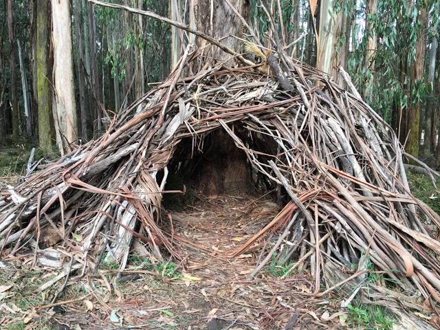

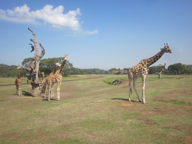
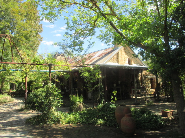

.jpg)
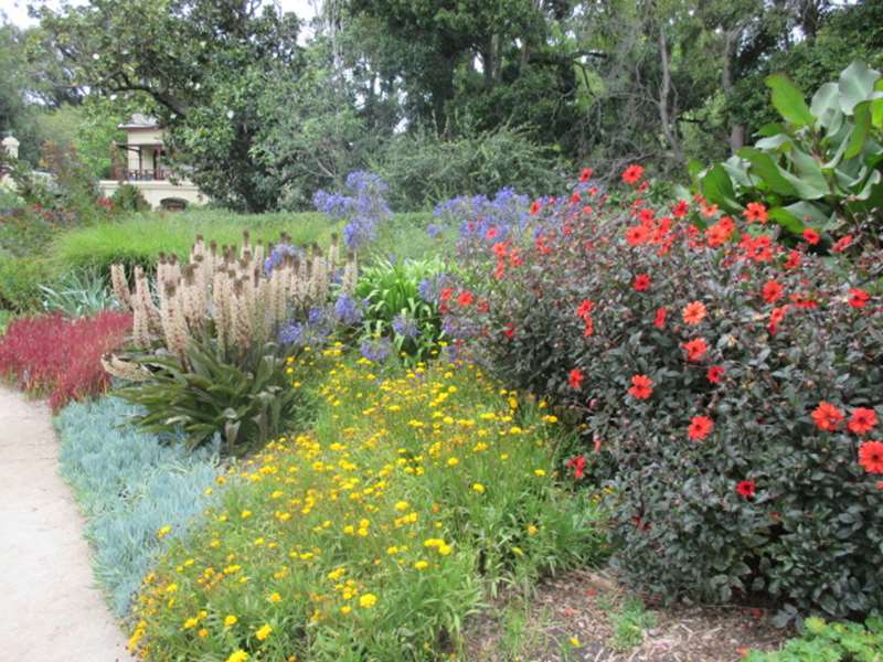
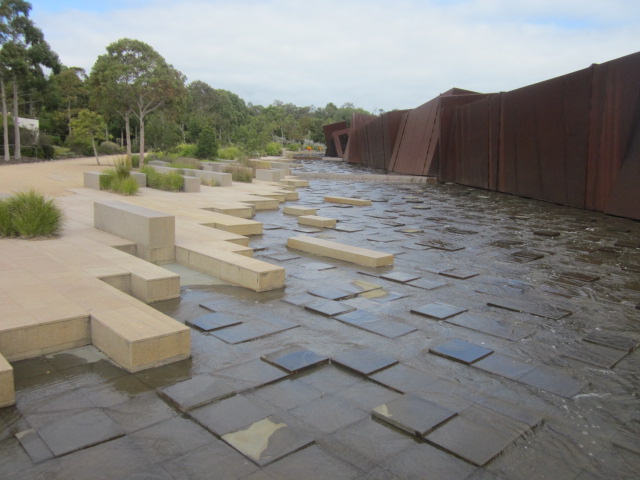
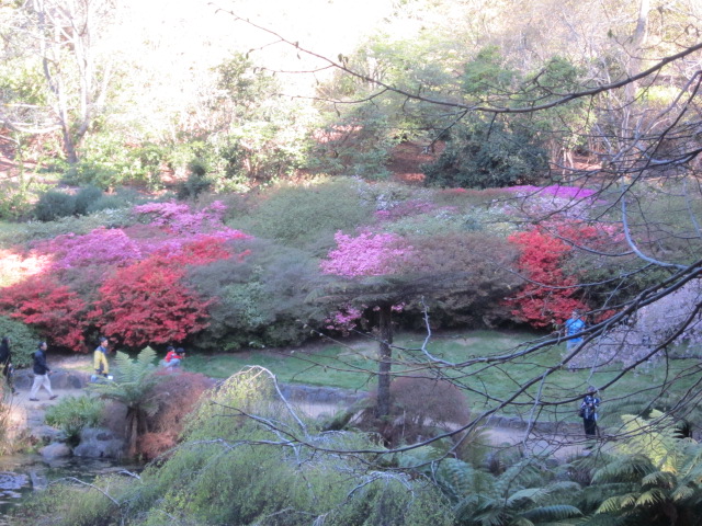


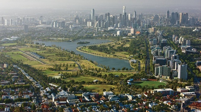

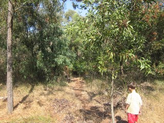

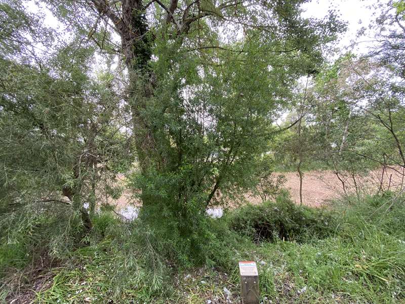
.jpg)
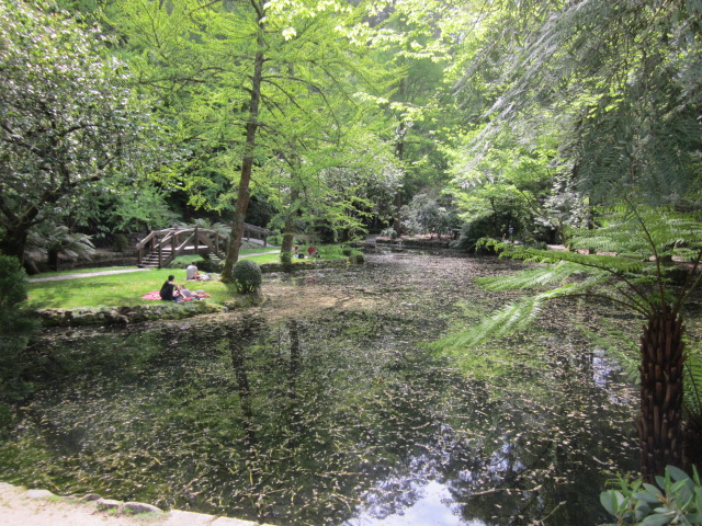
.jpg)
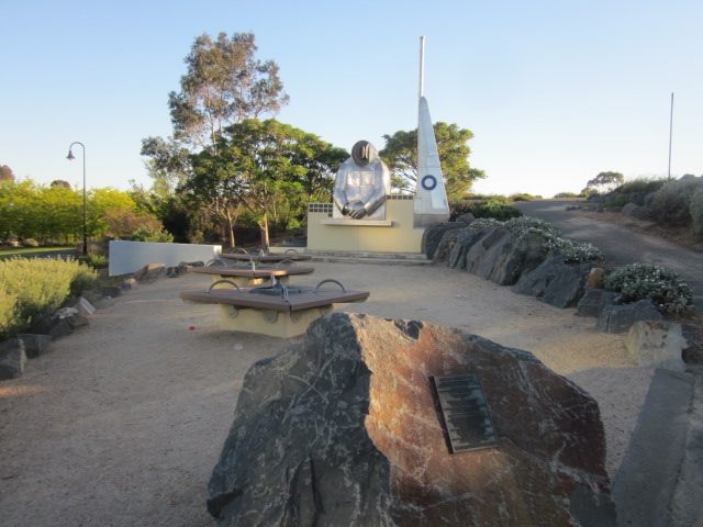
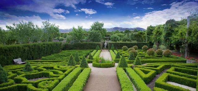
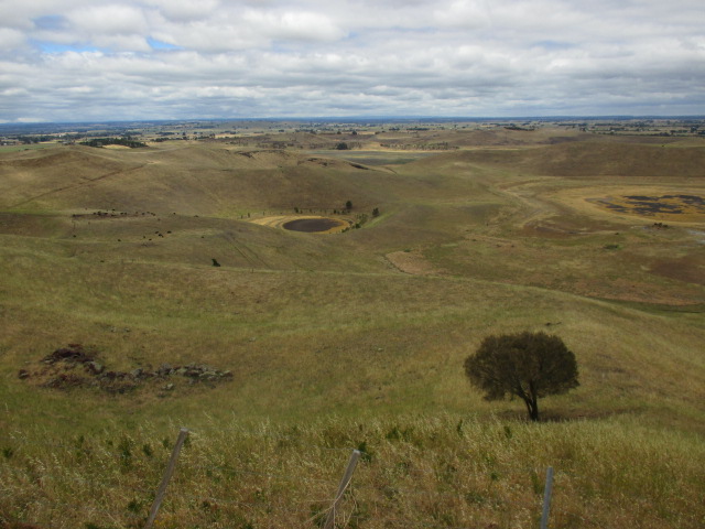
.jpg)


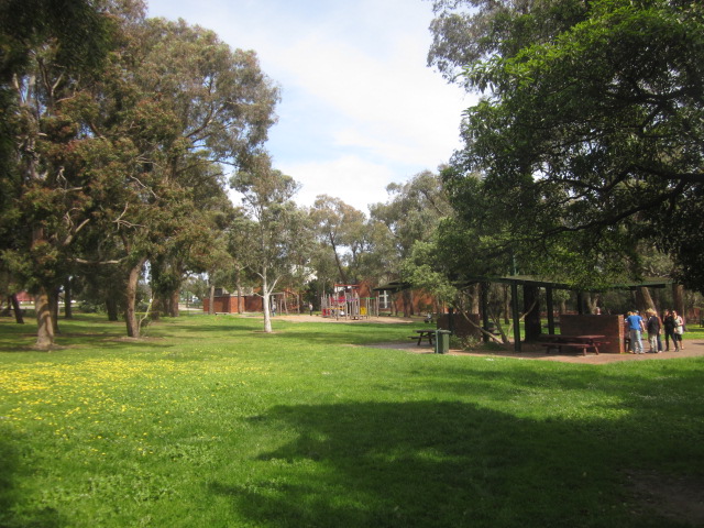
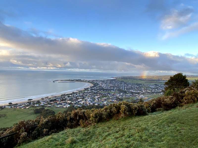

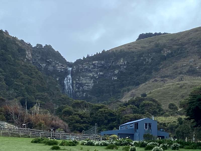
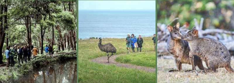
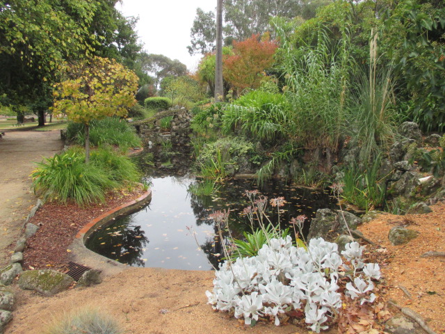
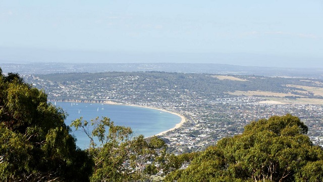
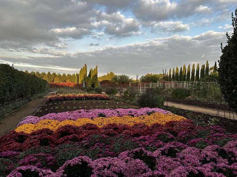
.jpg)
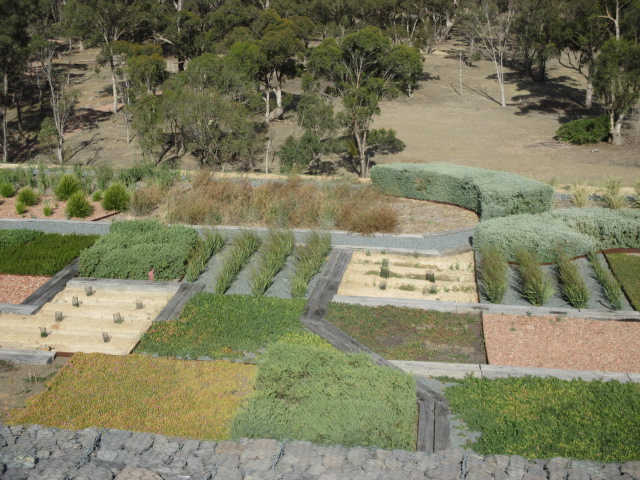
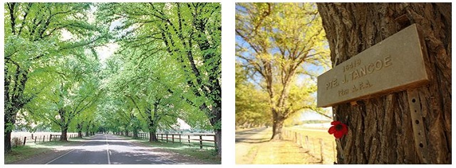
.jpg)
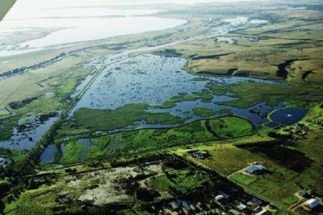
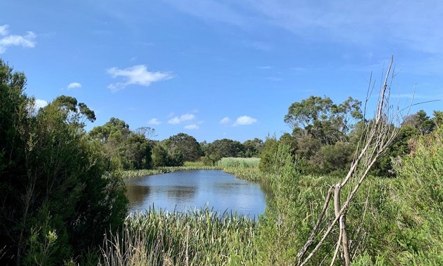
.jpg)
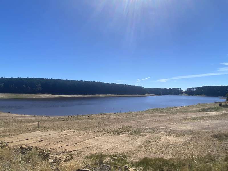
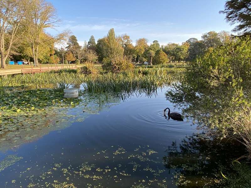
.jpg)
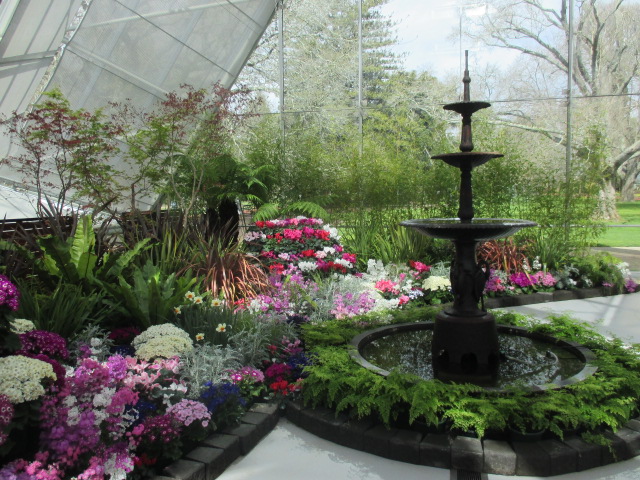
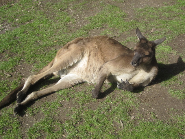
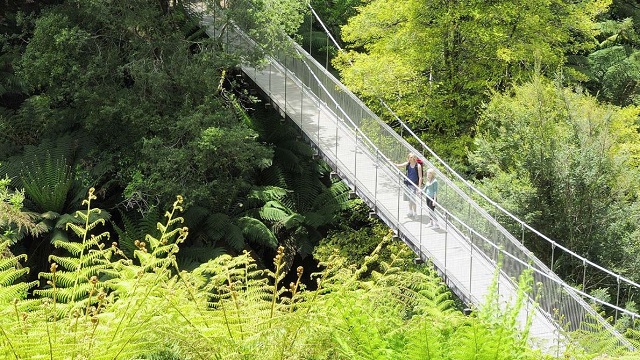
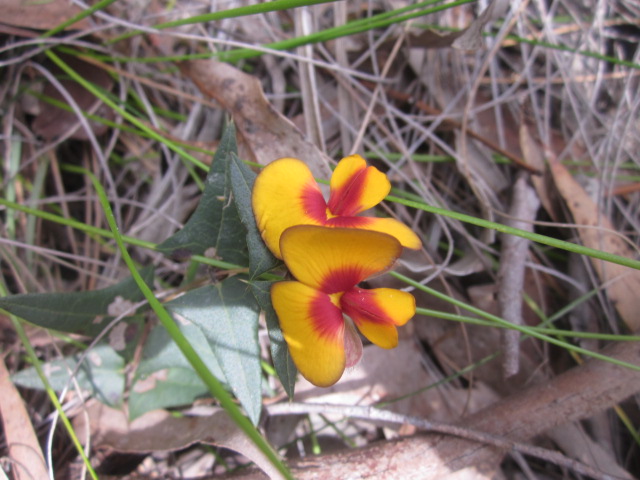
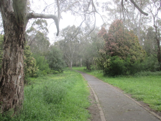
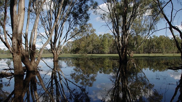
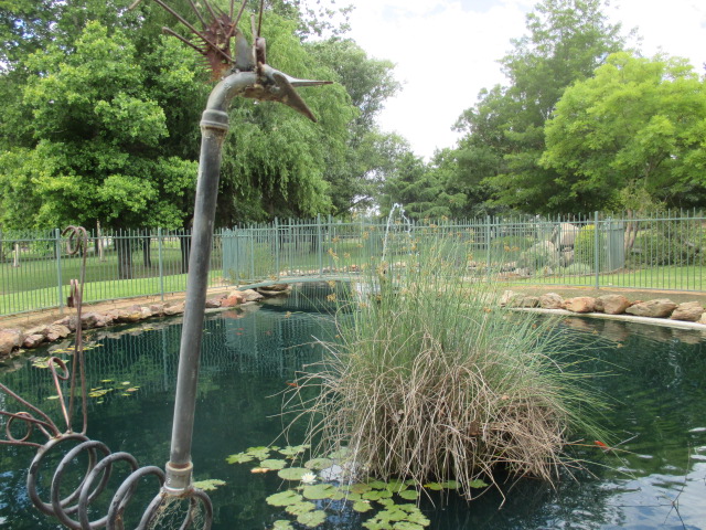
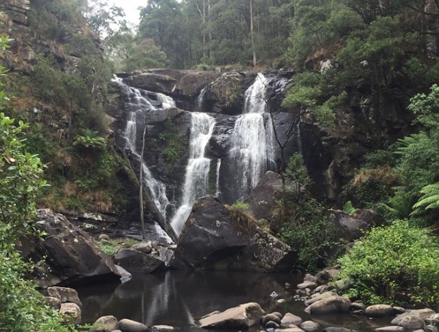
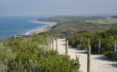
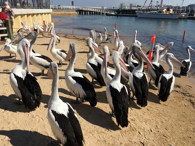
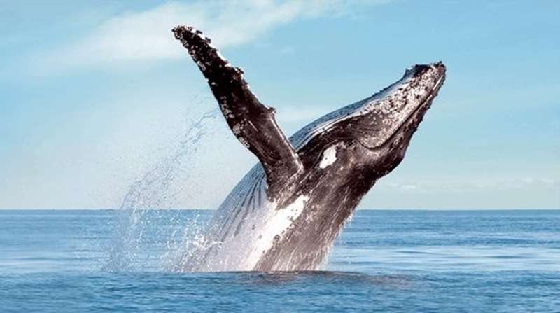
-embed02.jpg)
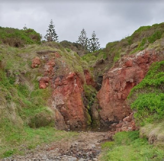
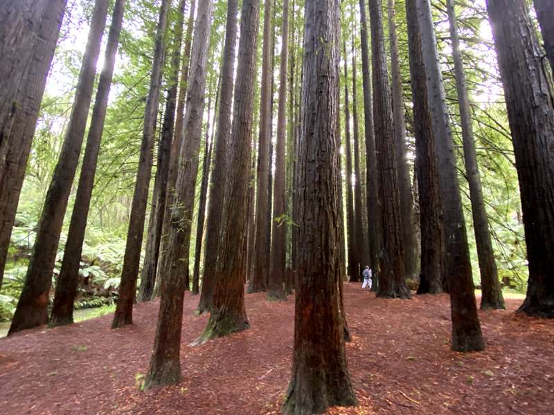
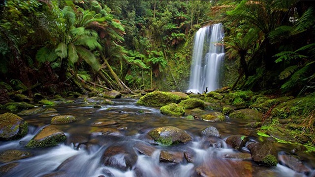
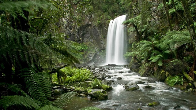
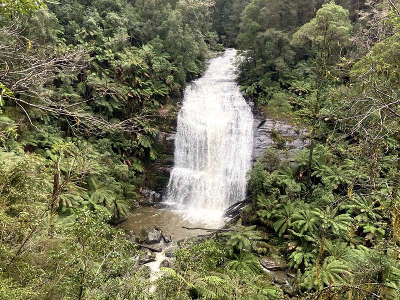
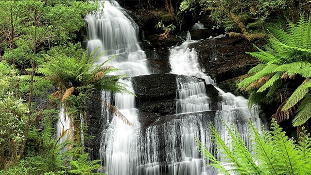
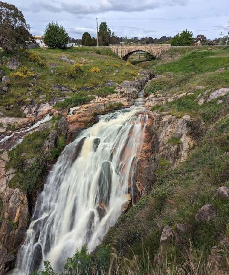
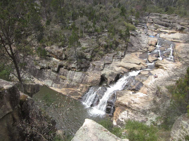
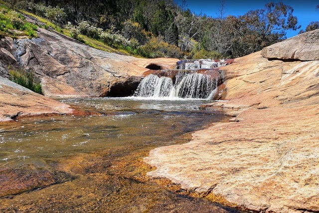
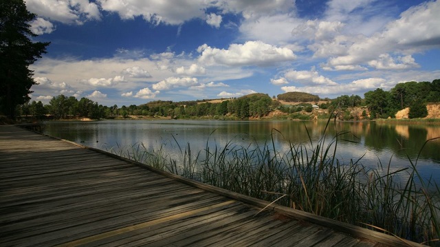
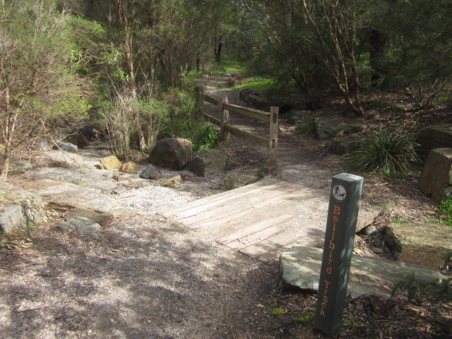
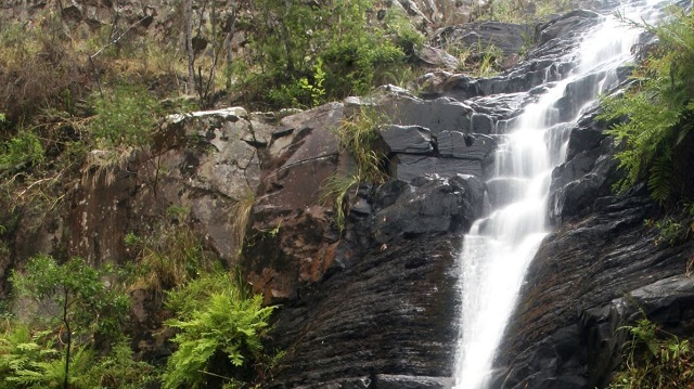
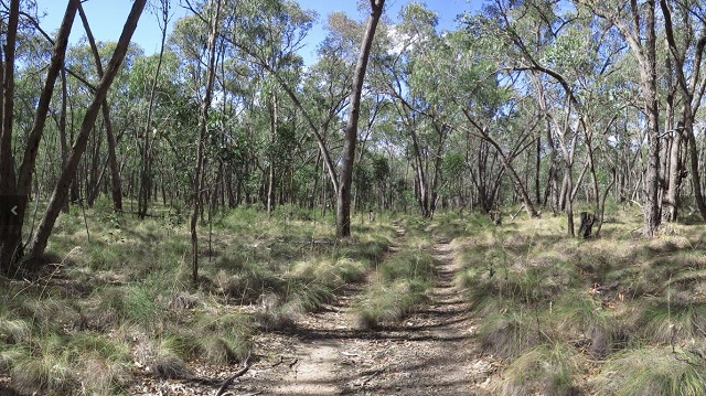
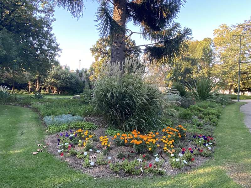
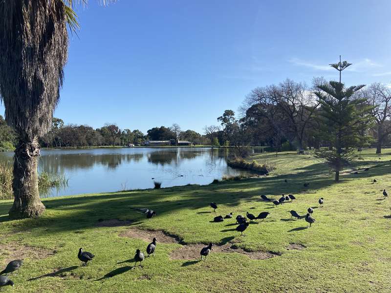
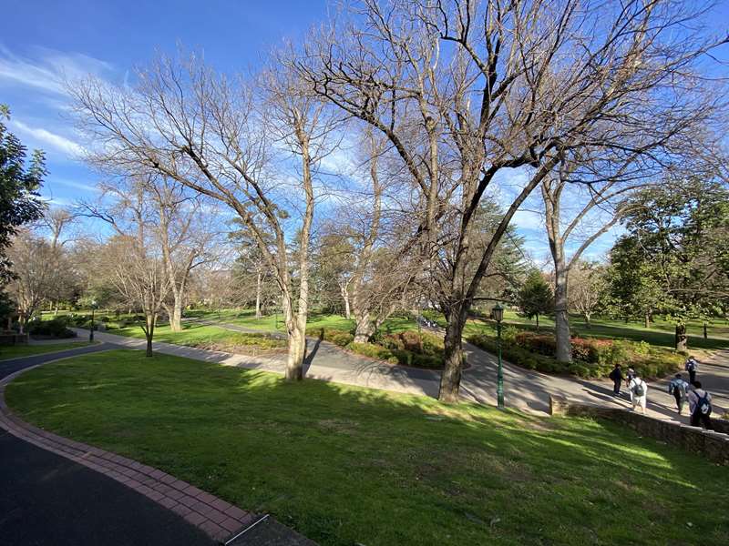
.jpg)
.jpg)
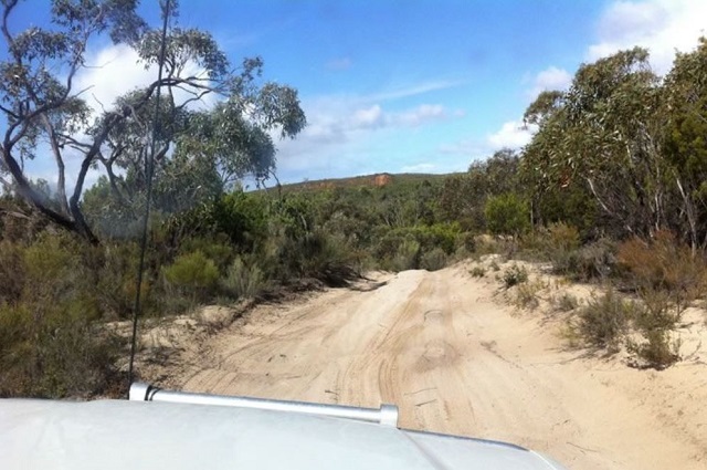
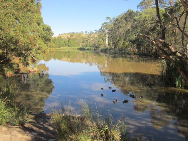
.jpg)
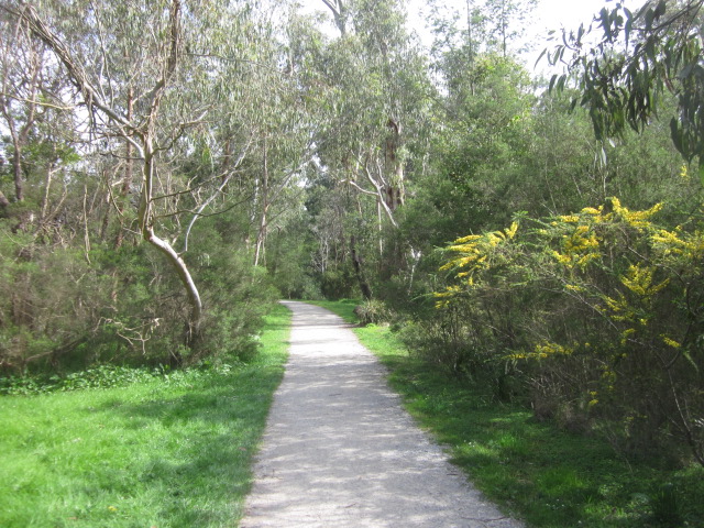
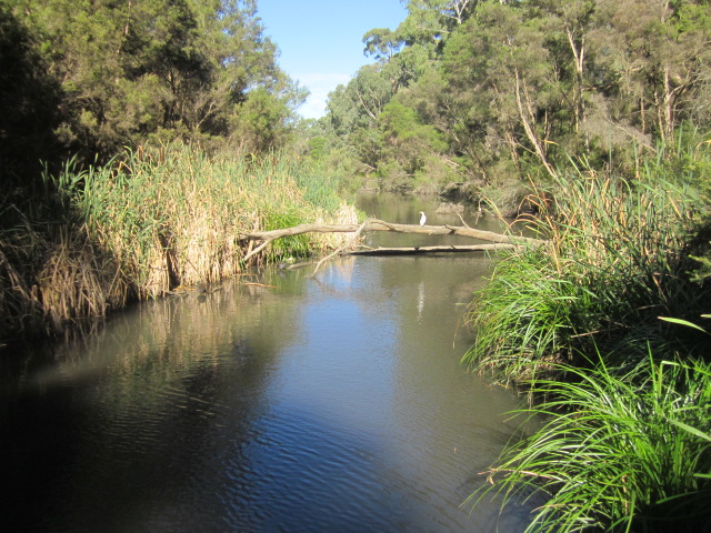
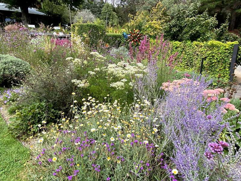
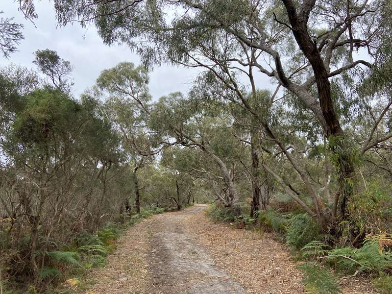
.jpg)
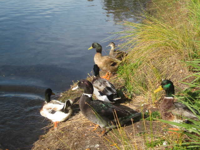
.jpg)
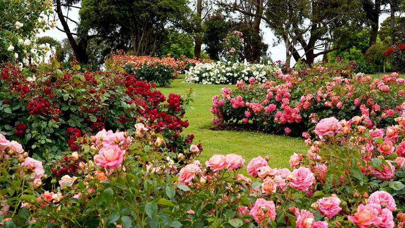
.jpg)
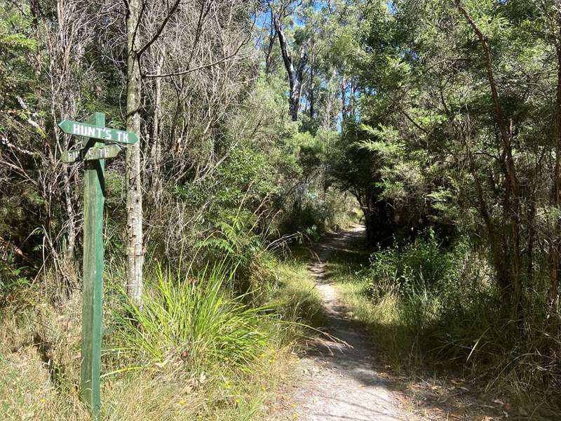
.jpg)
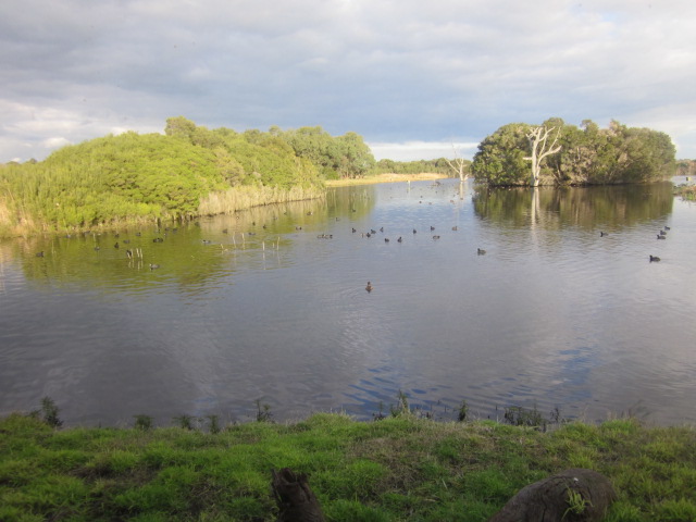
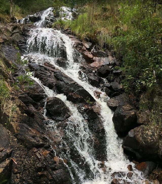
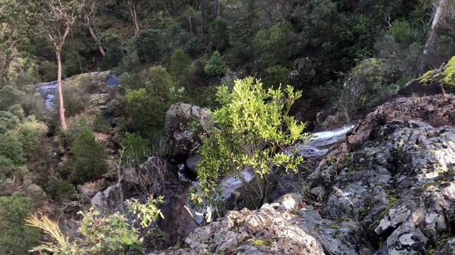
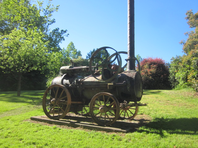
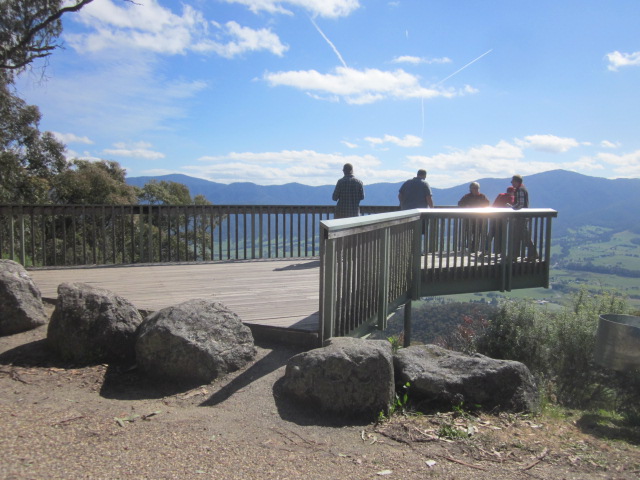
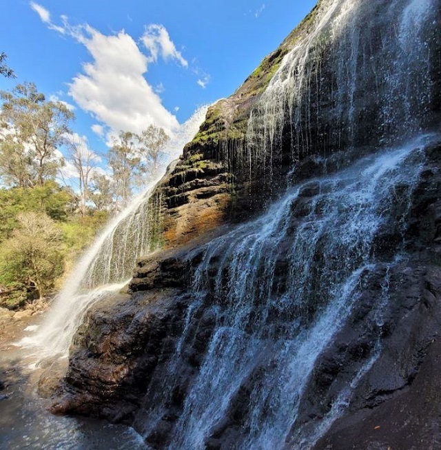
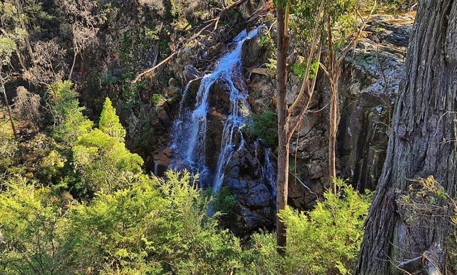
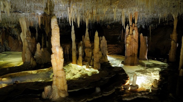
.jpg)
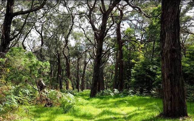
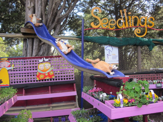
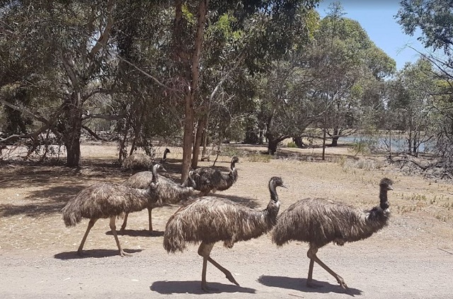
.jpg)
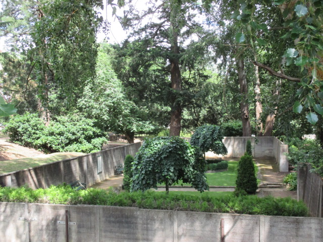
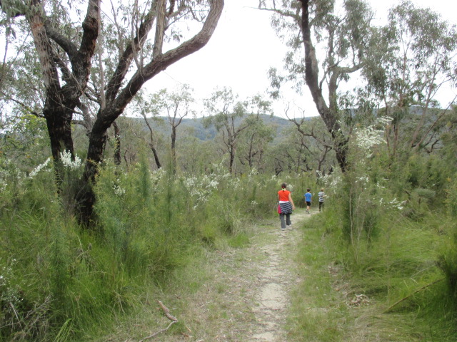
.jpg)
.jpg)
.jpg)
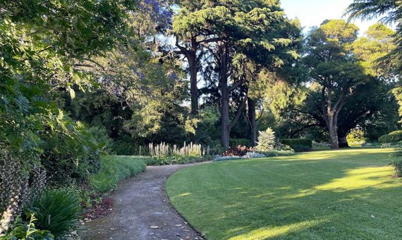
.jpg)
.jpg)
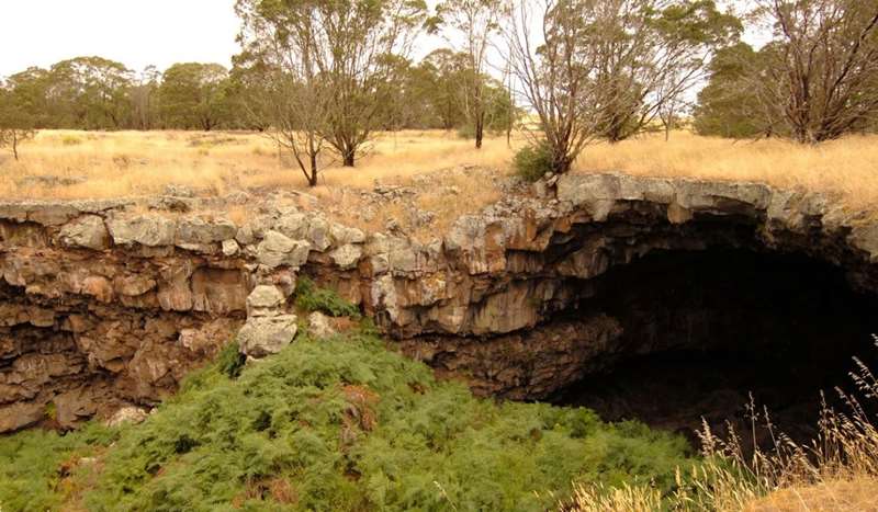
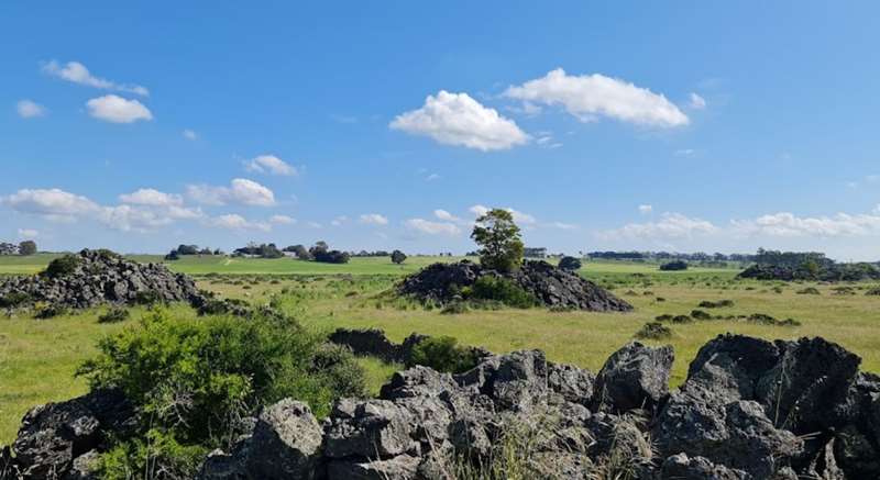
.jpg)
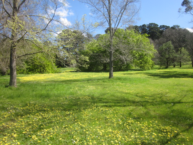
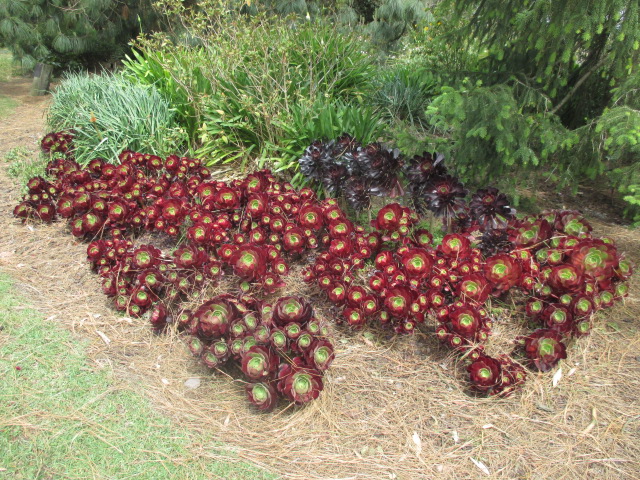
.jpg)
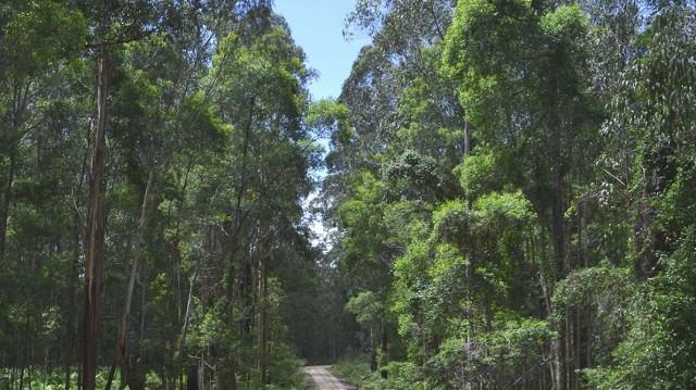
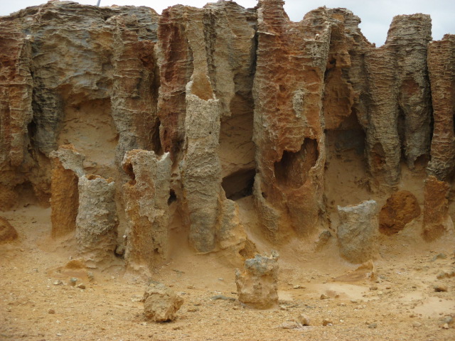
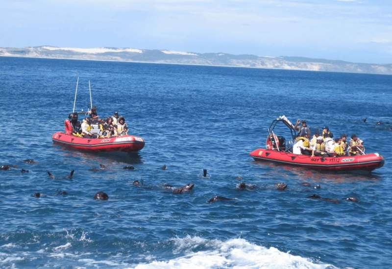
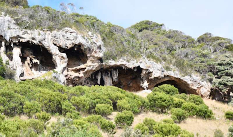
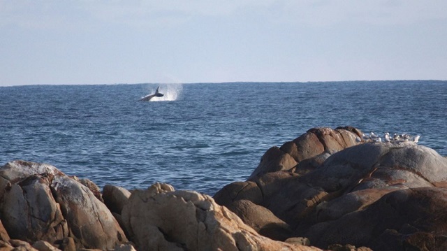
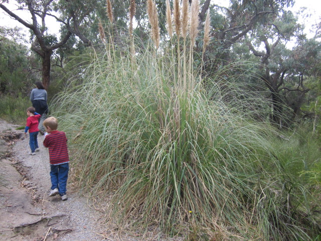
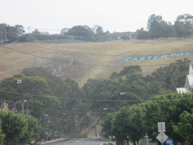
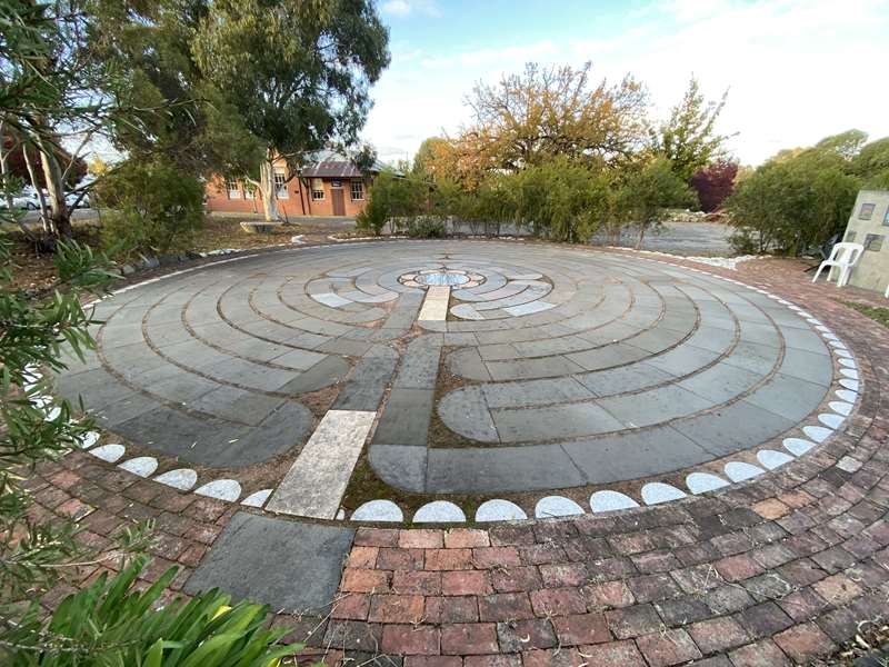
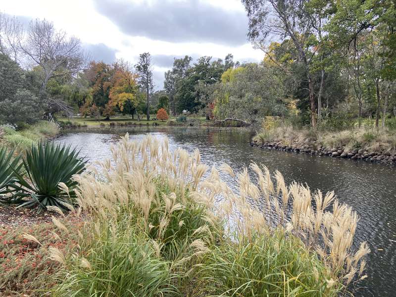

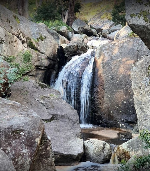
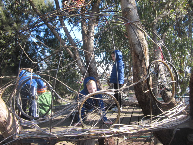
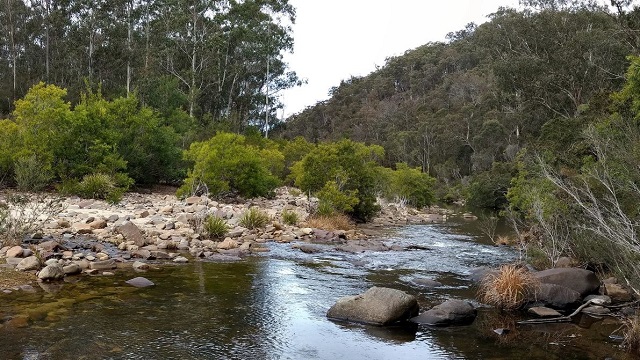
.jpg)
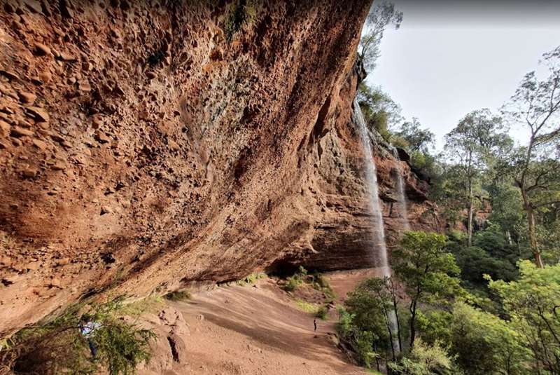
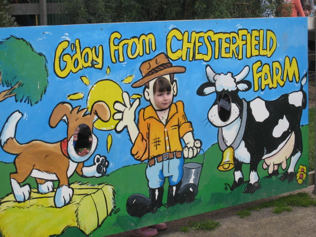
.jpg)
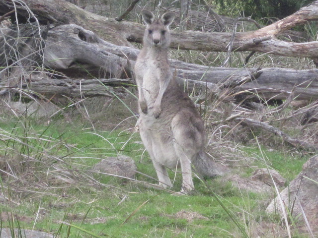
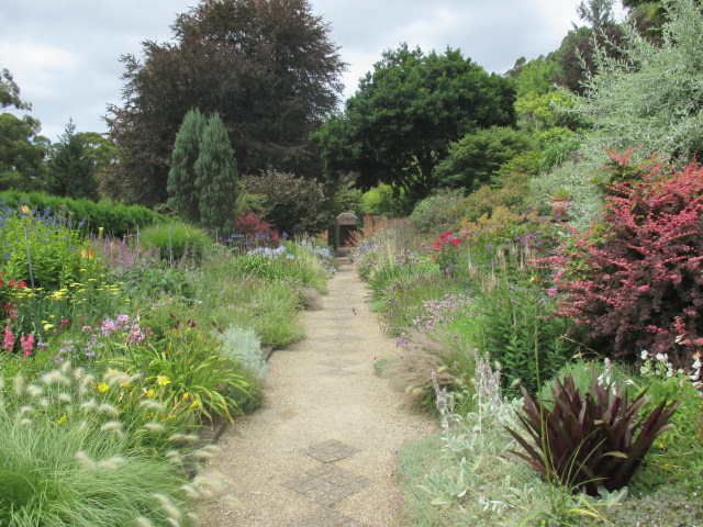
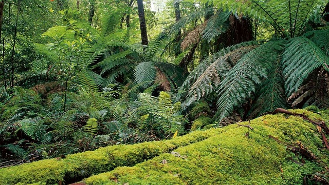
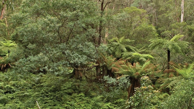
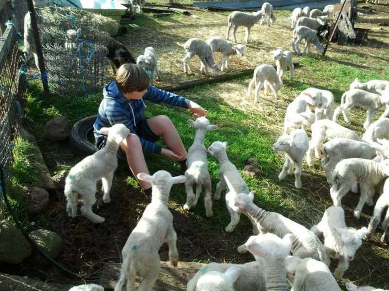
-embed03.jpg)
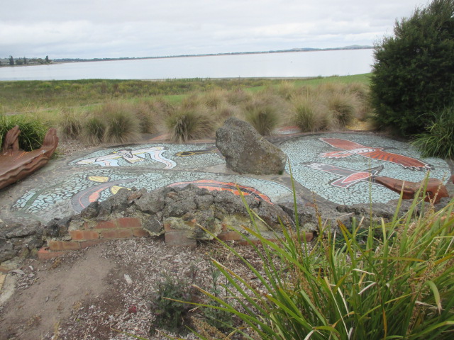
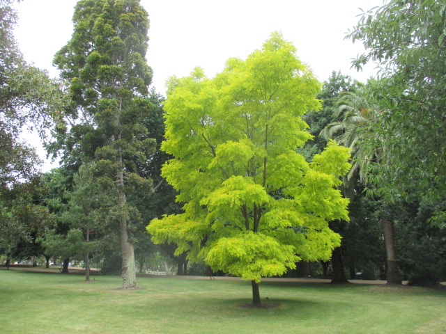
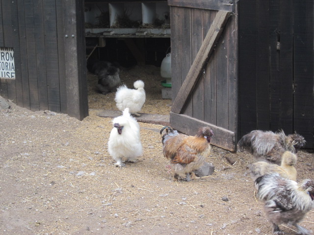
-embed02.jpg)
-embed01.jpg)
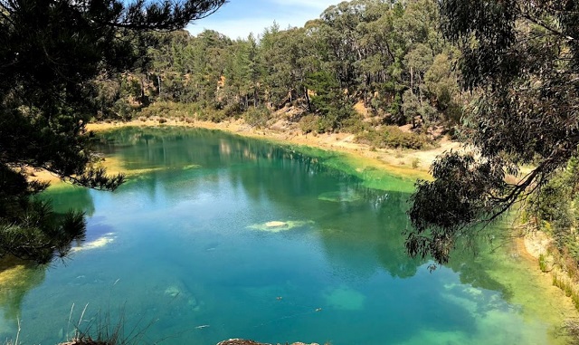
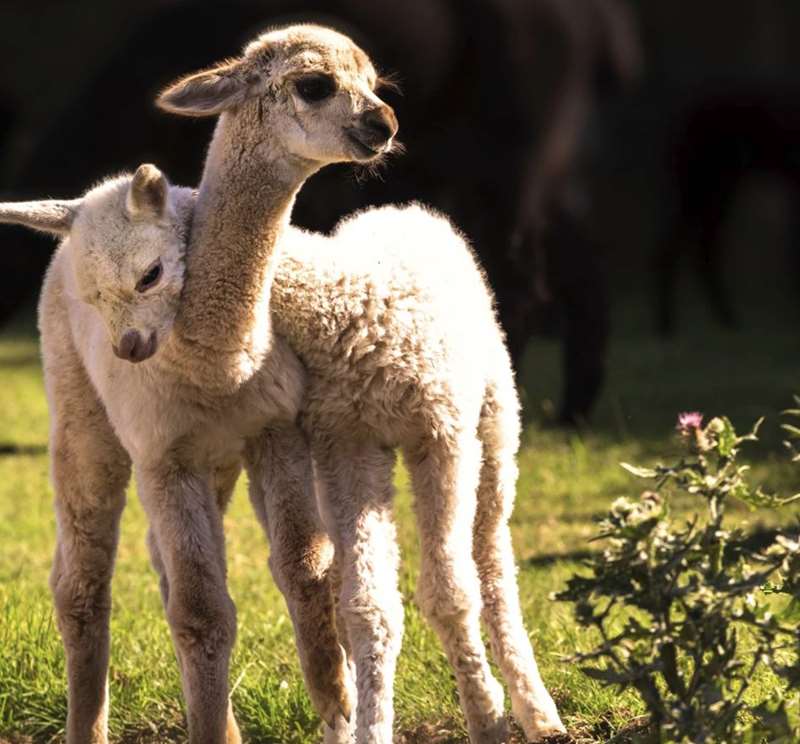
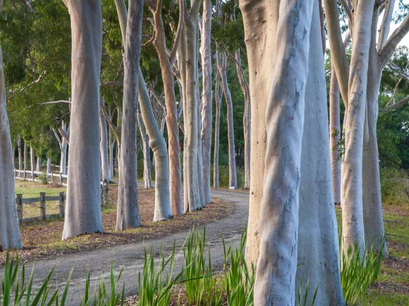

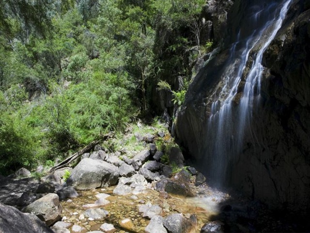
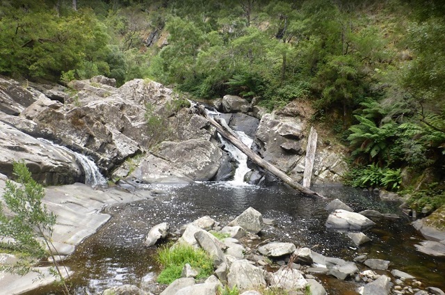
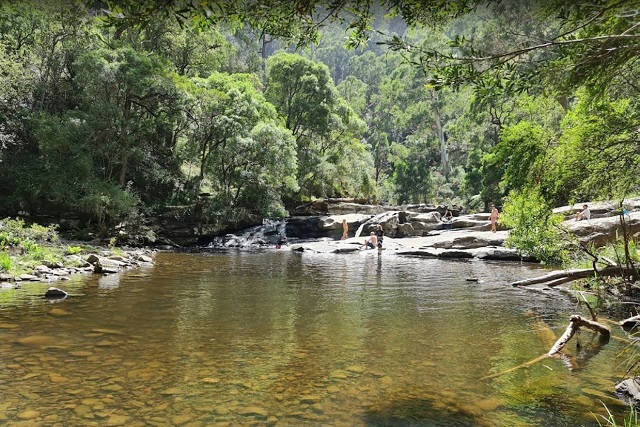
.jpg)
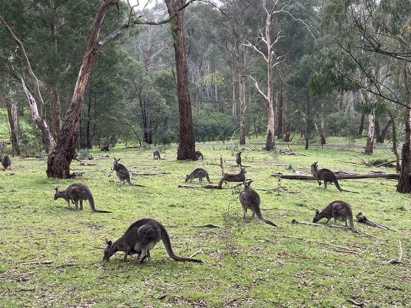
.jpg)
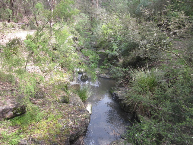
.jpg)
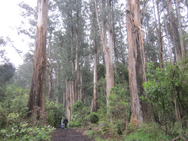
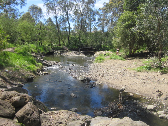
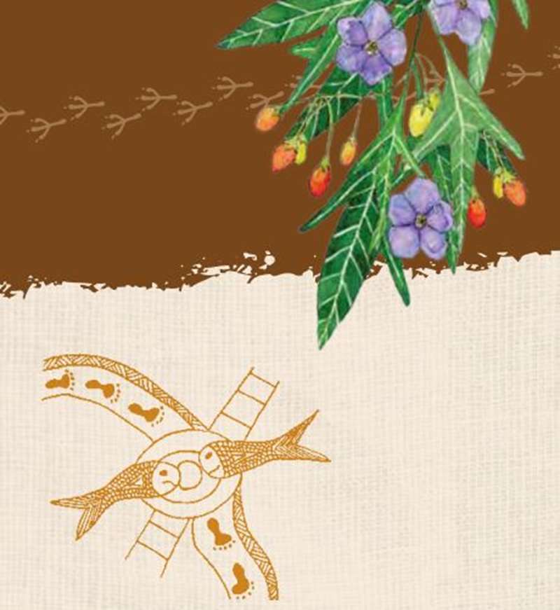
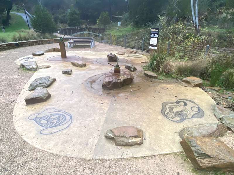
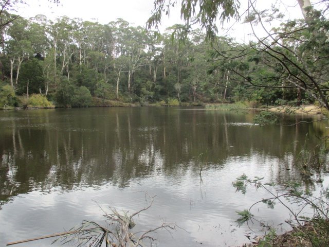
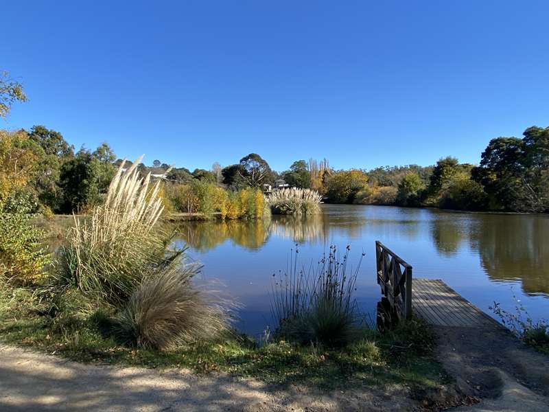
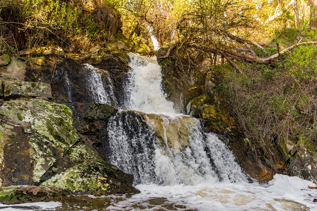
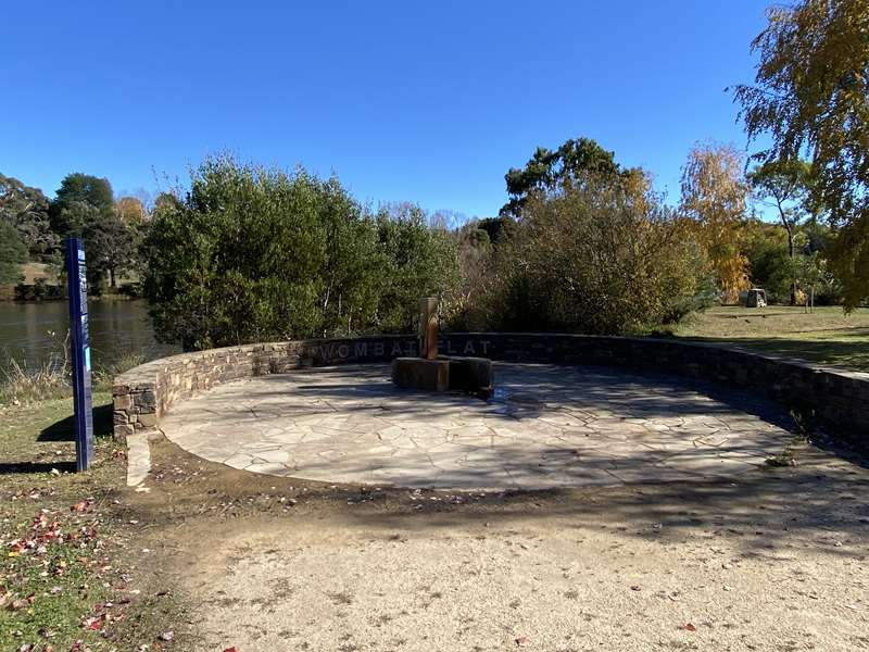
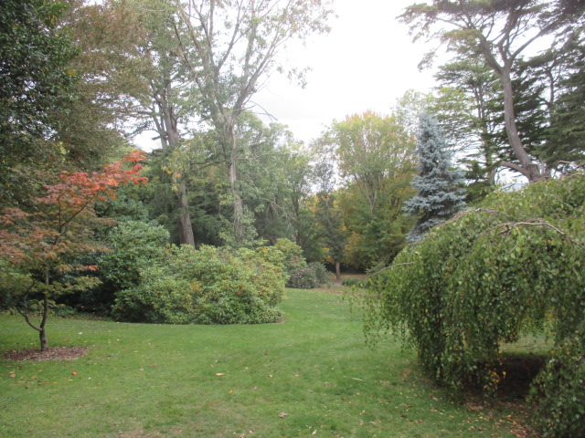
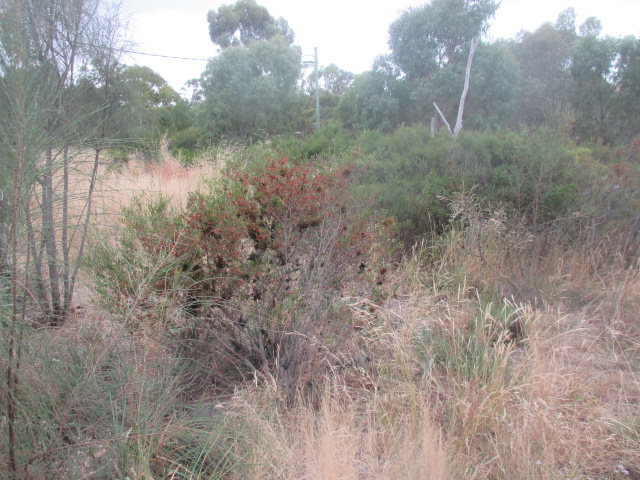
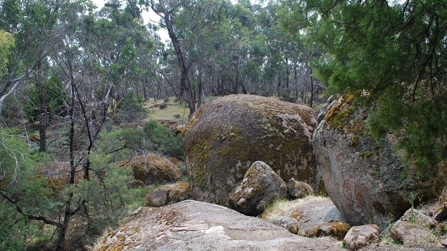
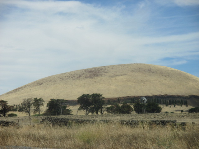
.jpg)
.jpg)
.jpg)
.jpg)
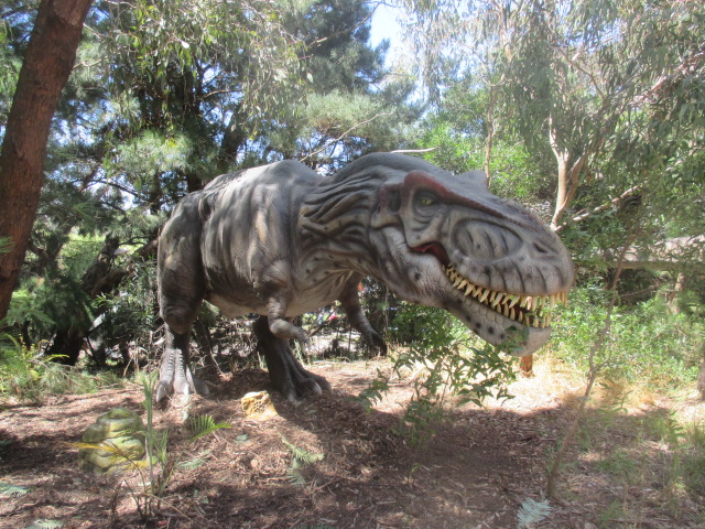
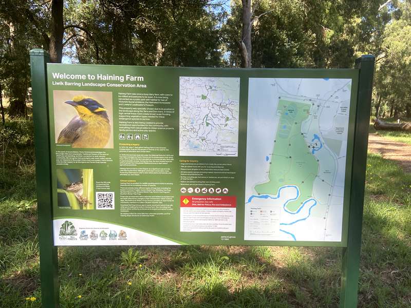
g.jpg)
.jpg)
.jpg)
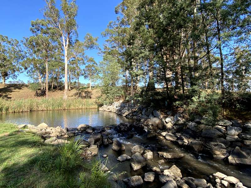
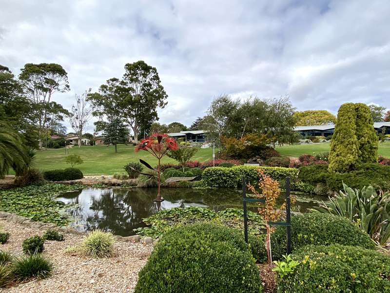
.jpg)
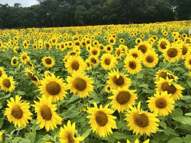
.jpg)


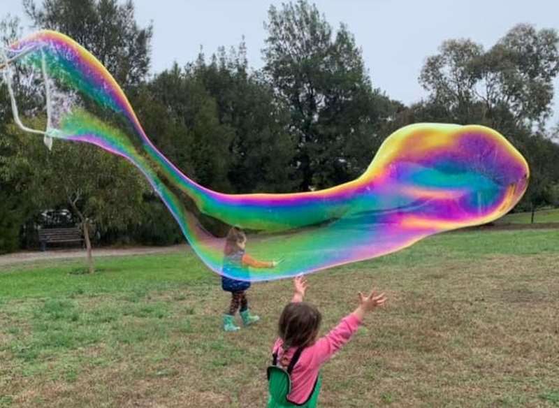
.jpg)
.jpg)
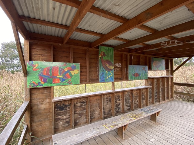
.jpg)
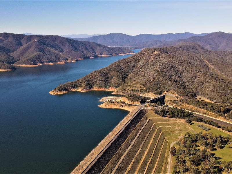
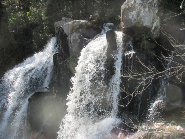
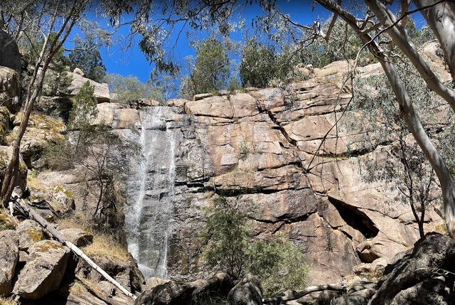
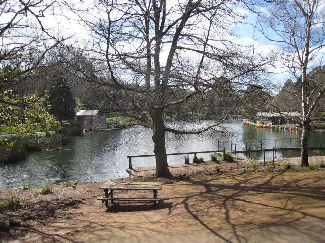
.jpg)
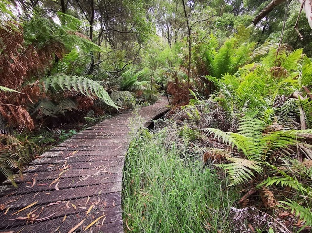
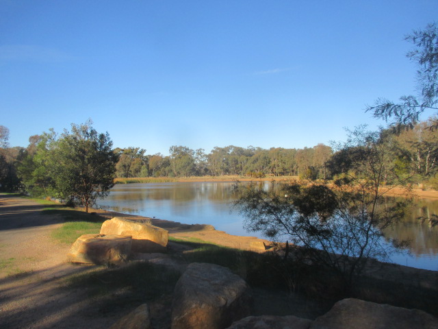
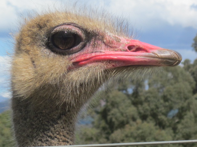
.jpg)

-embed02.jpg)
.jpg)
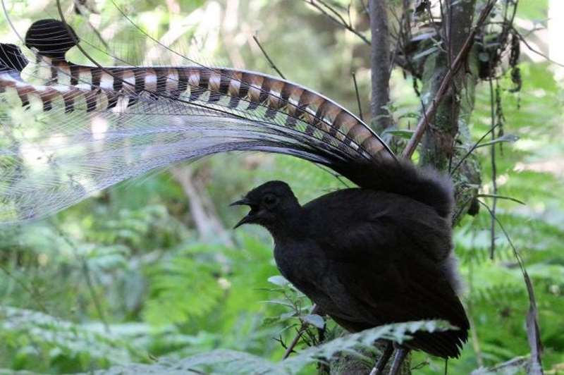
.jpg)
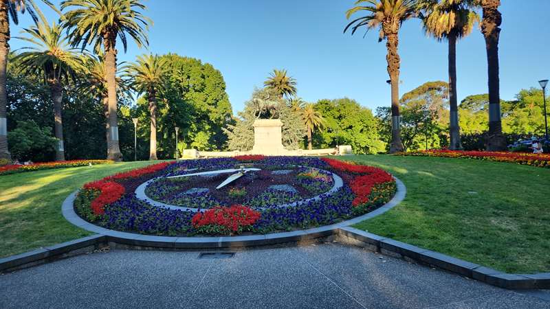
.jpg)
.jpg)
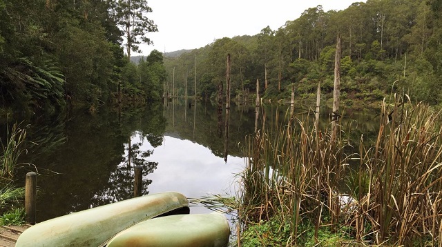
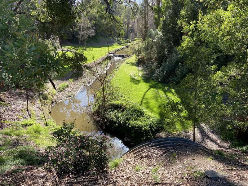
.jpg)
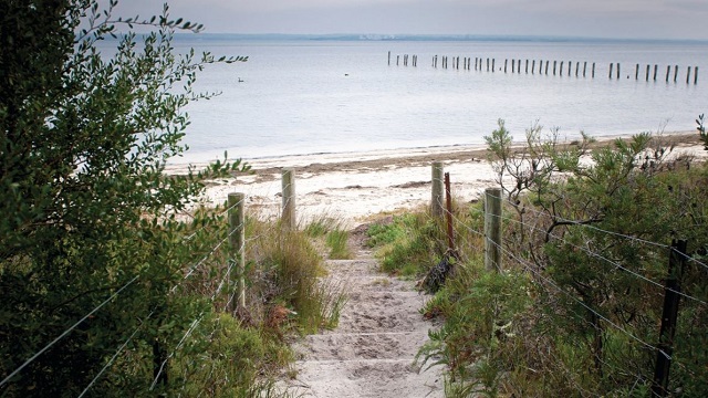
.jpg)

.jpg)
.jpg)
.jpg)
.jpg)
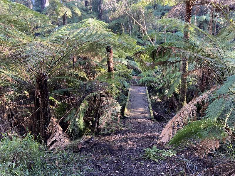
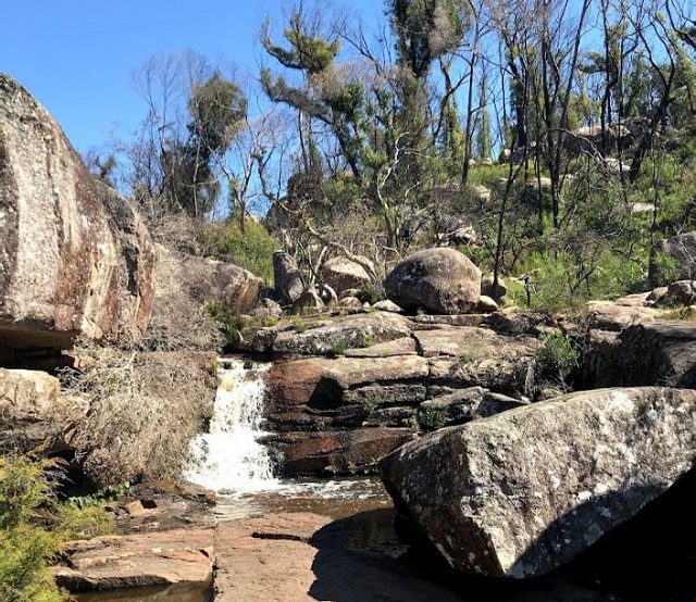
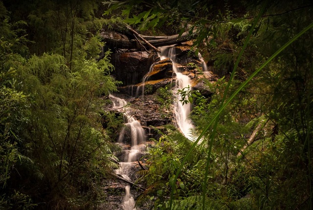
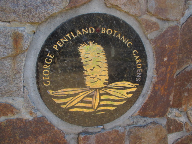
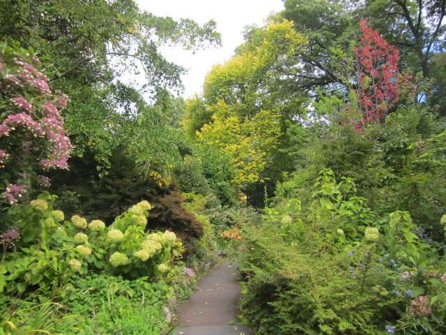
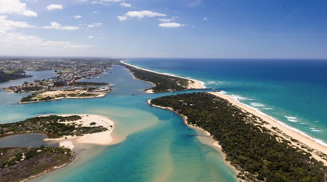
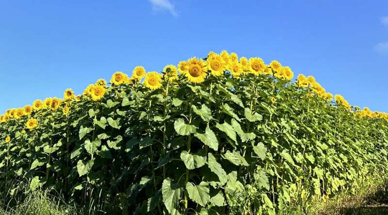
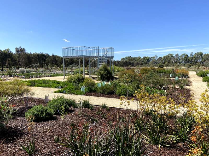
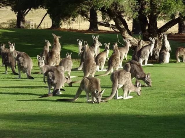
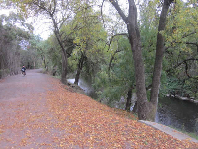
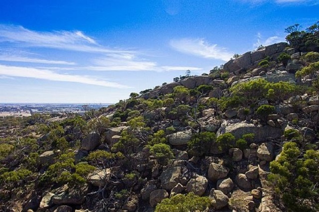
.jpg)
.jpg)
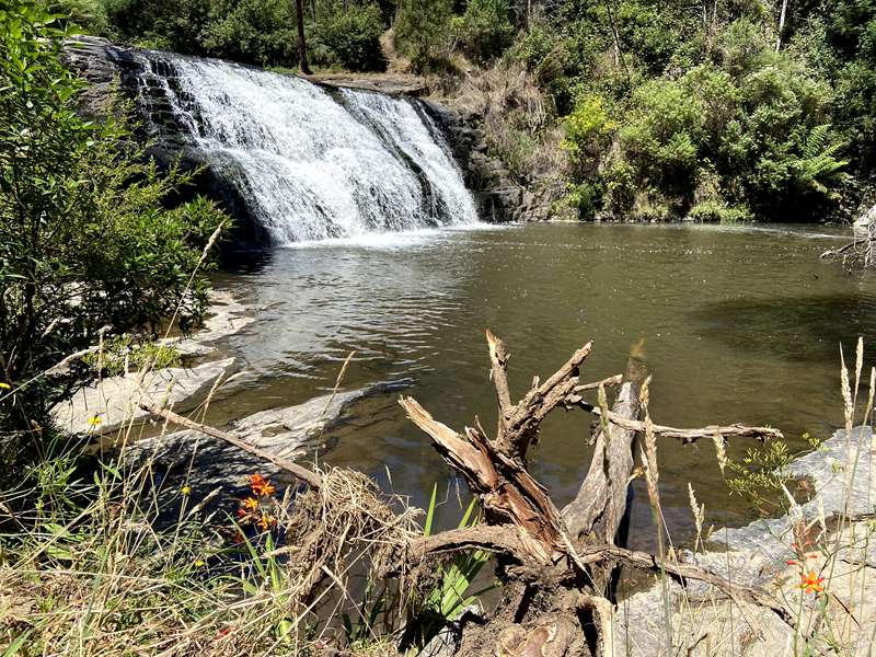
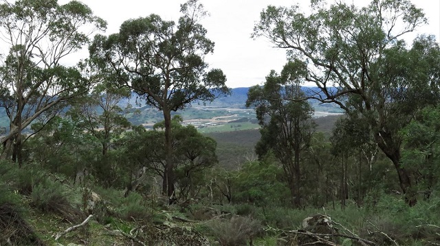
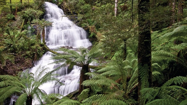
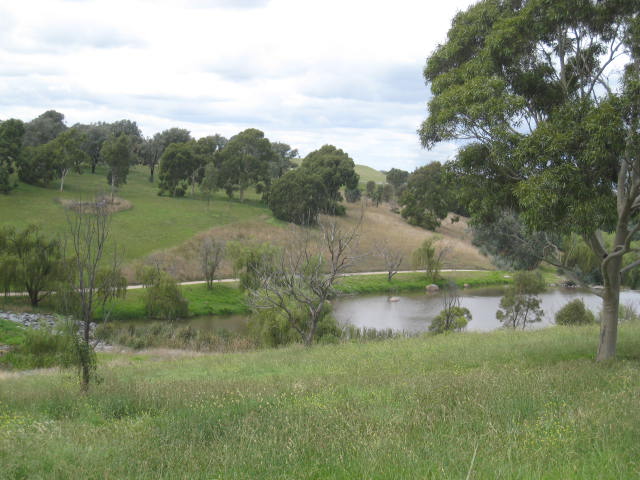
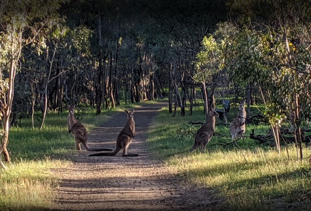
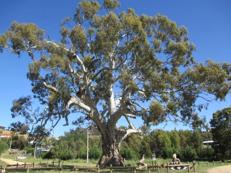
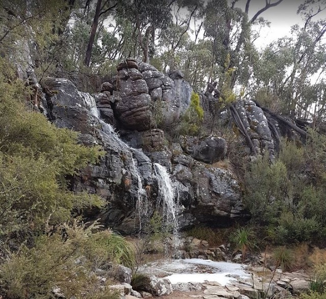
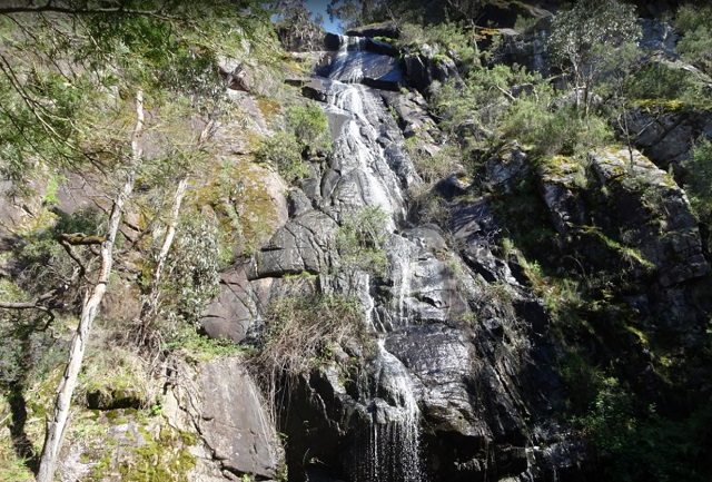
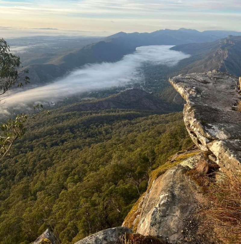
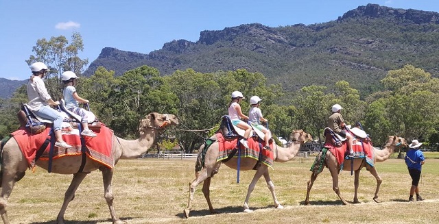
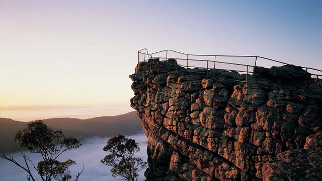

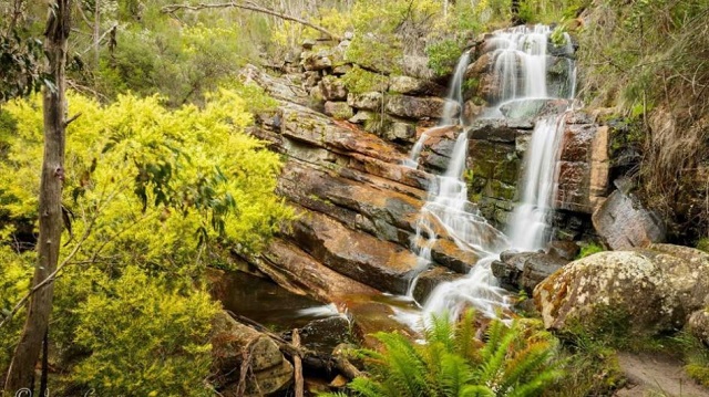
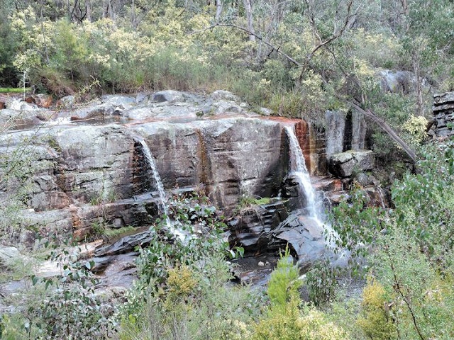
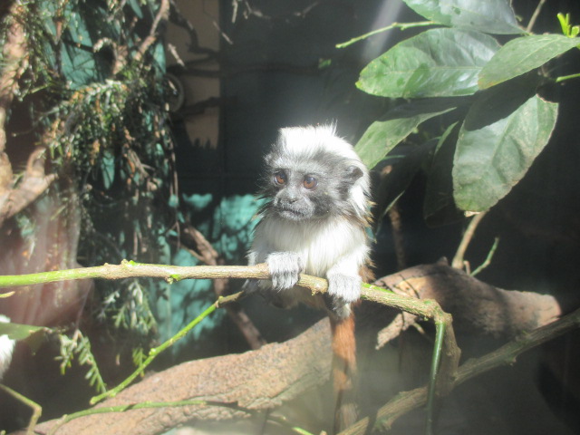
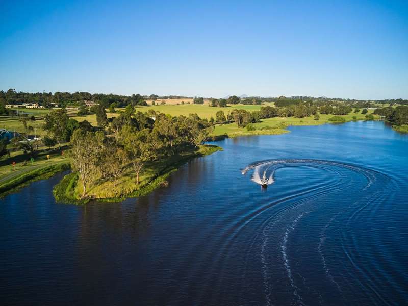
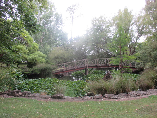
.jpg)
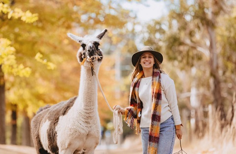
.jpg)
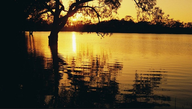
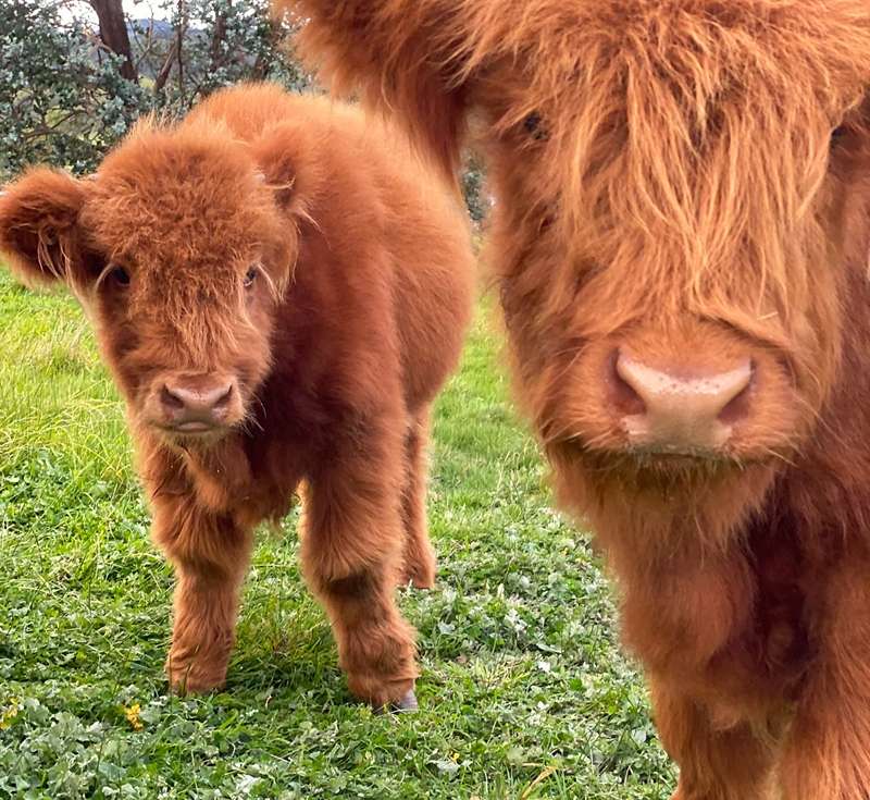
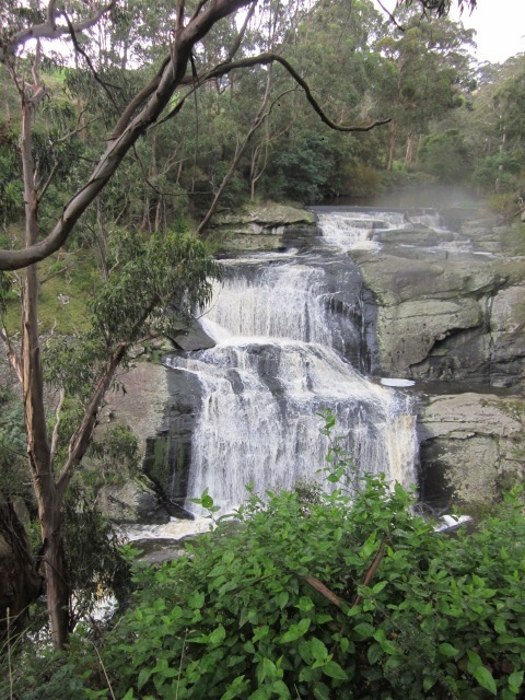
-embed01.jpg)
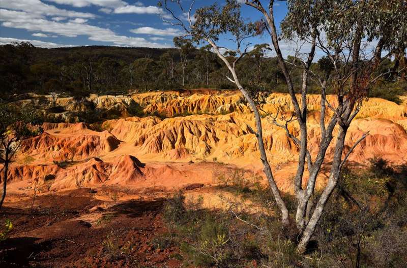
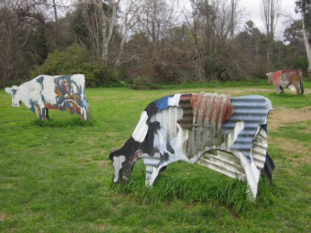
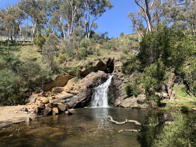
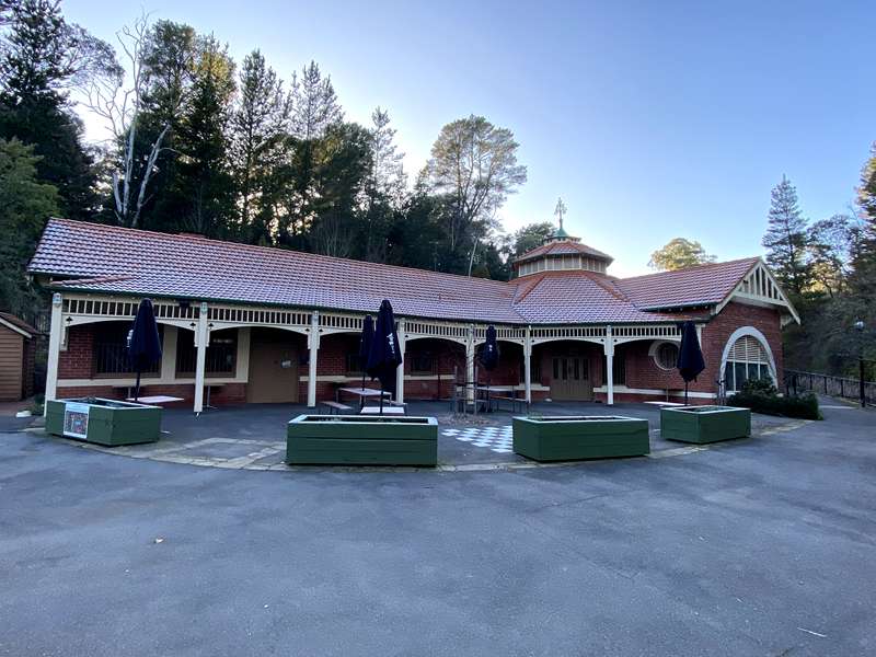
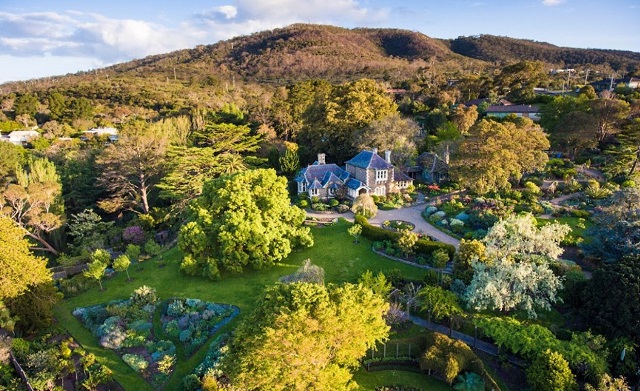
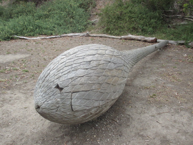
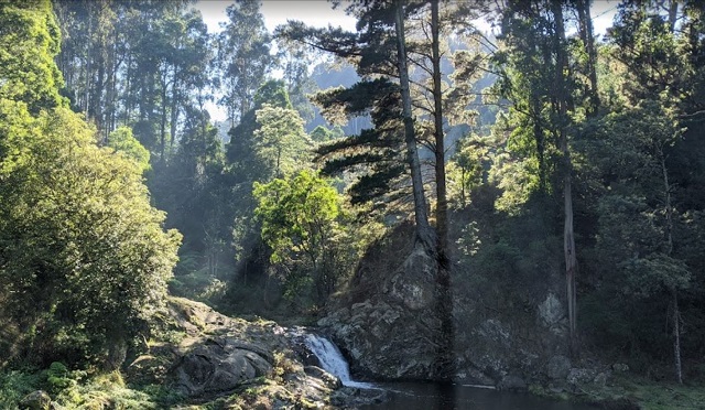
.jpg)
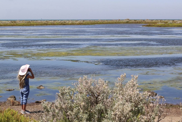
.jpg)
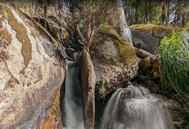
.jpg)
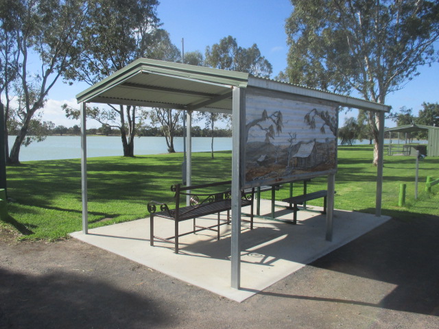
.jpg)
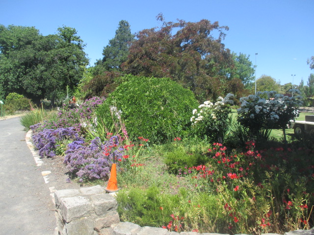
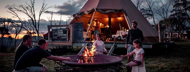
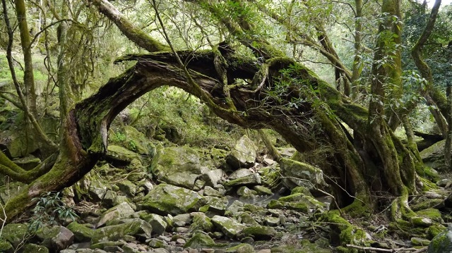
.jpg)
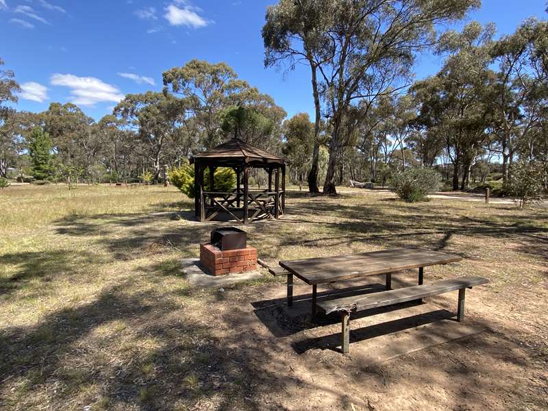
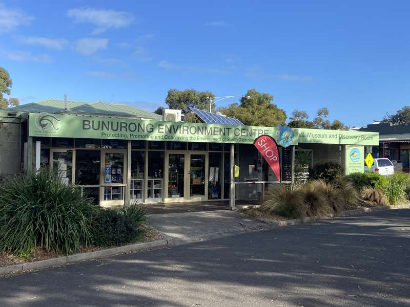
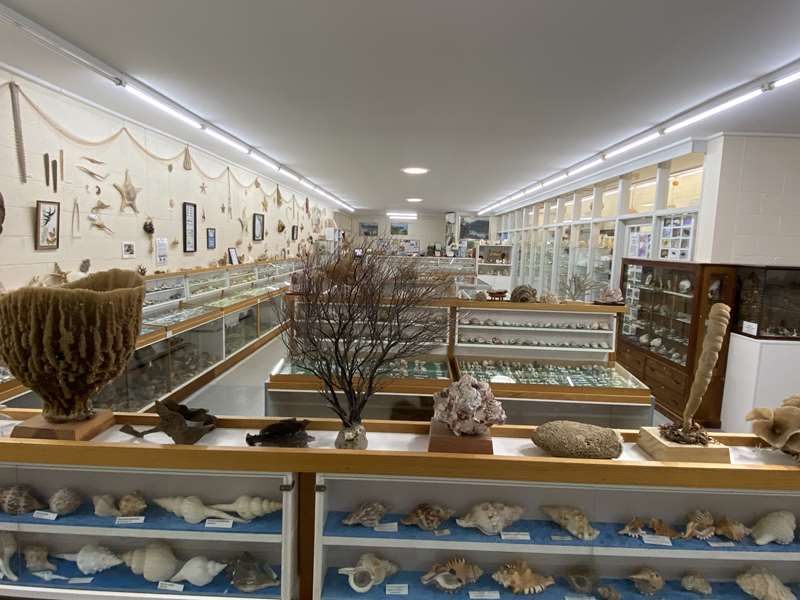
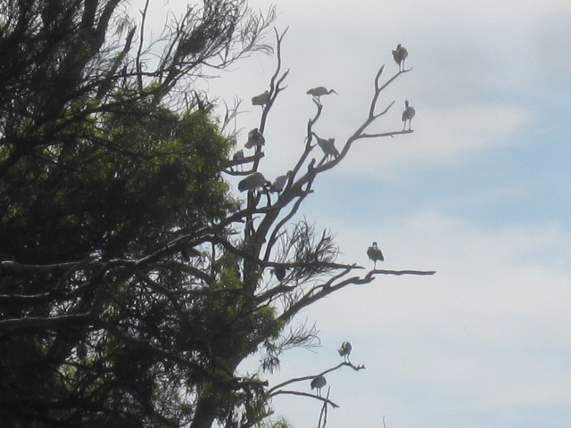
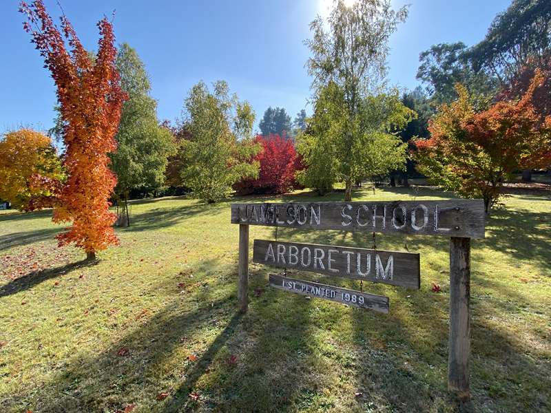
.jpg)
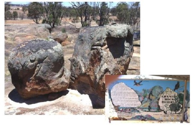
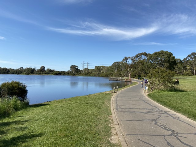
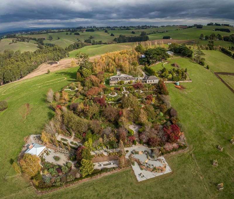
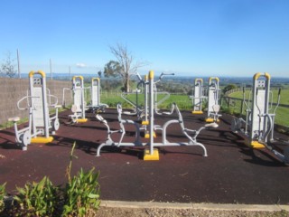

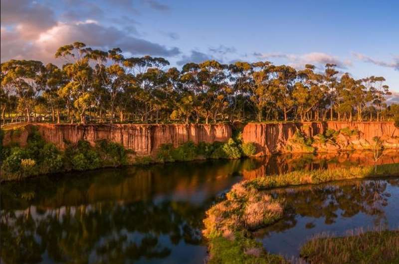
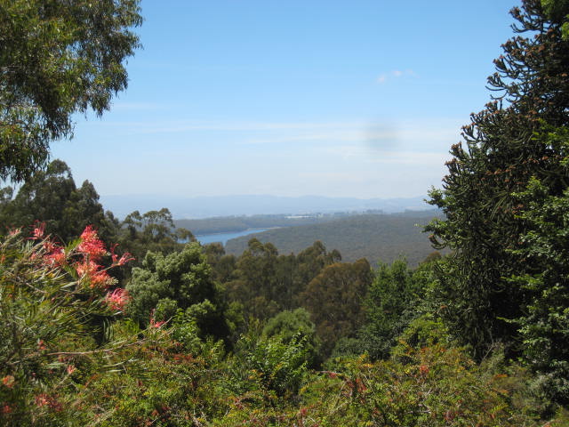
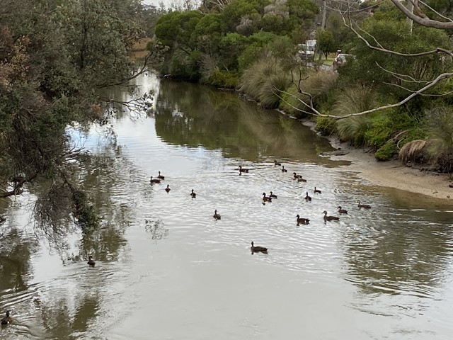
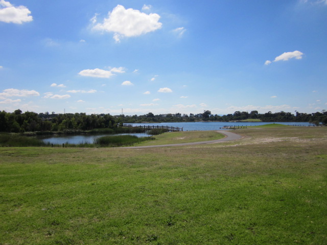
.jpg)
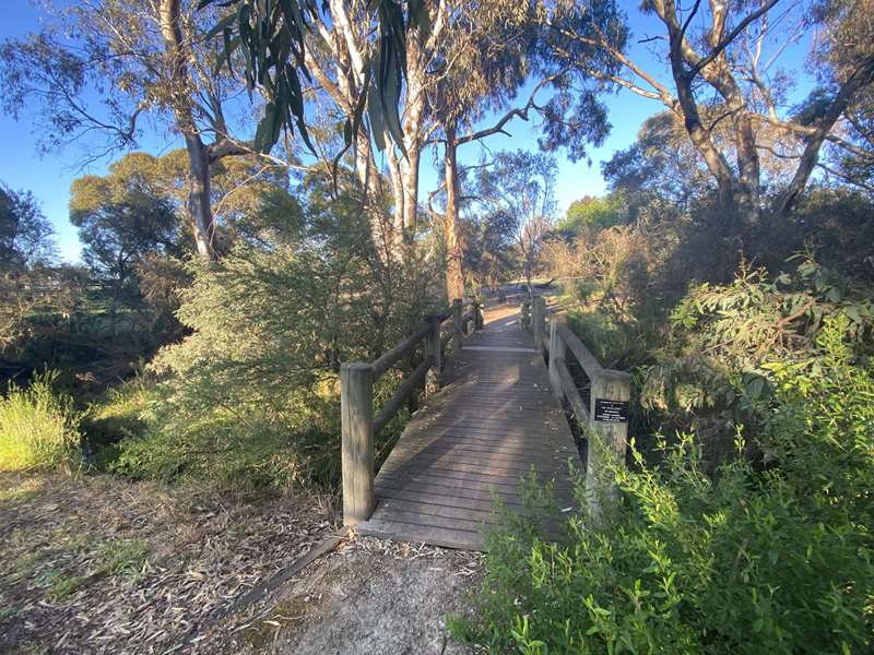
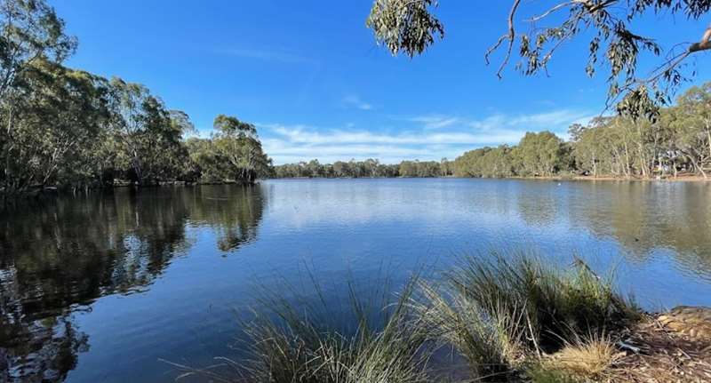
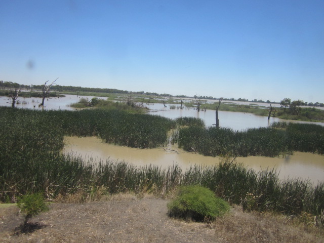
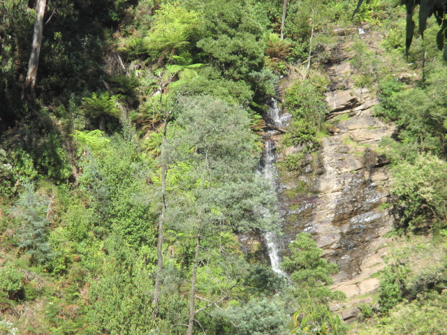
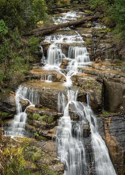
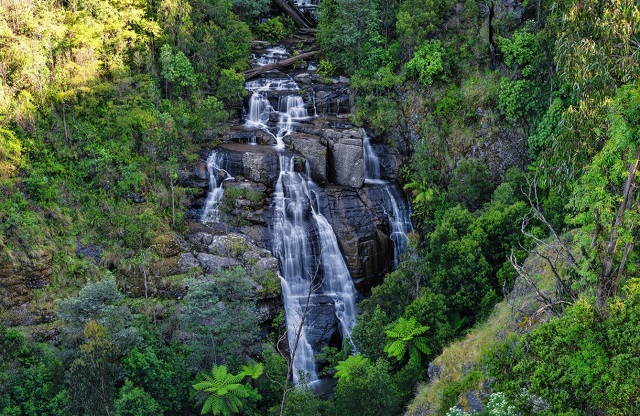
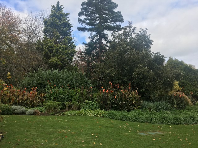
.jpg)
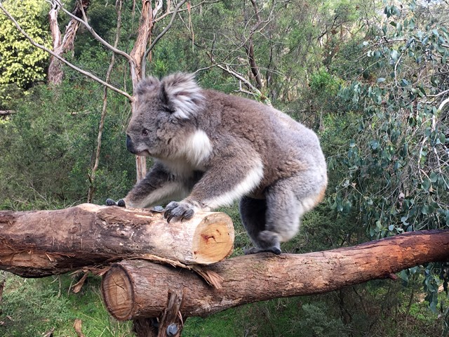
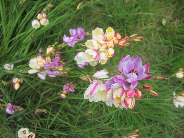
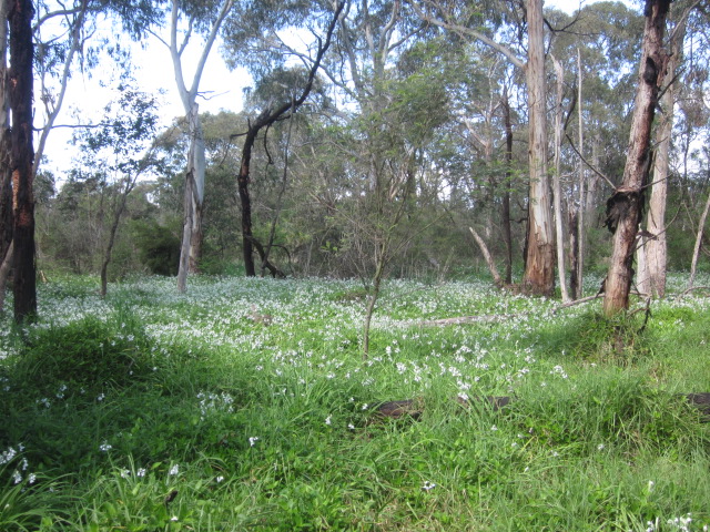
.jpg)
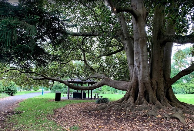
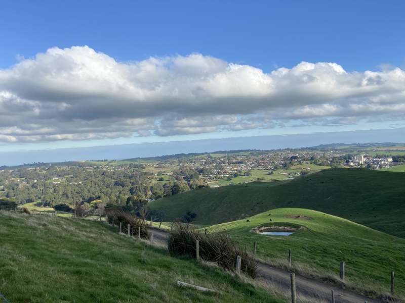

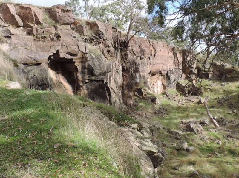
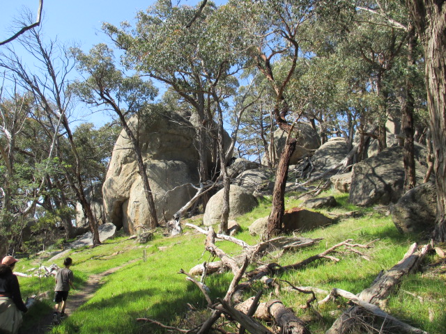
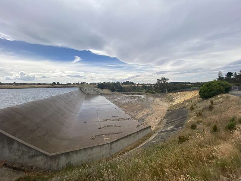
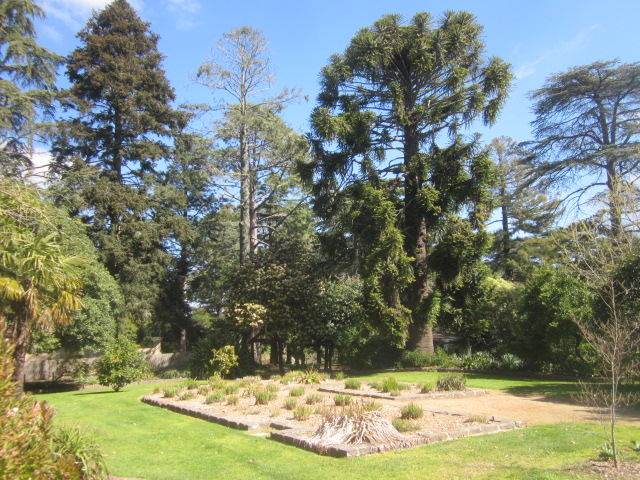
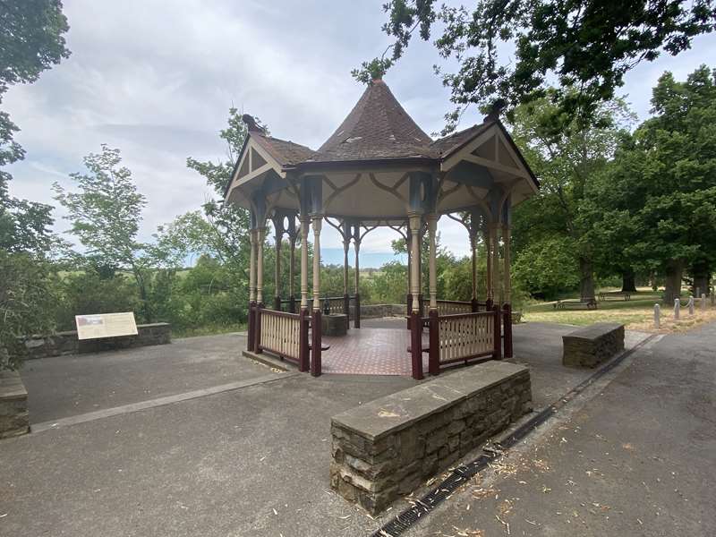
.jpg)
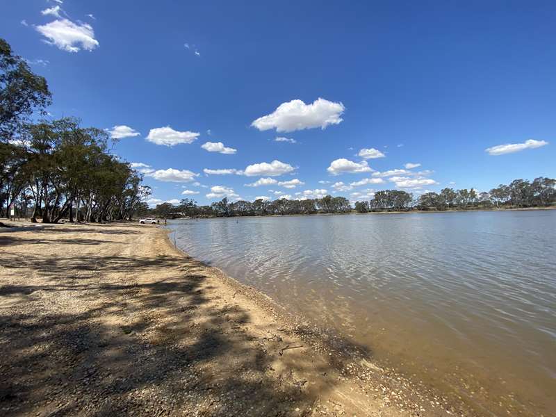
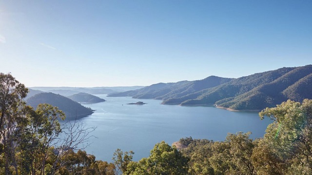
.jpg)
.jpg)
.jpg)
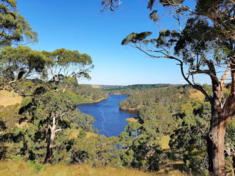

.jpg)
.jpg)
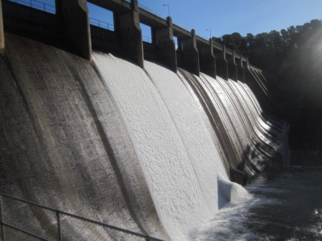
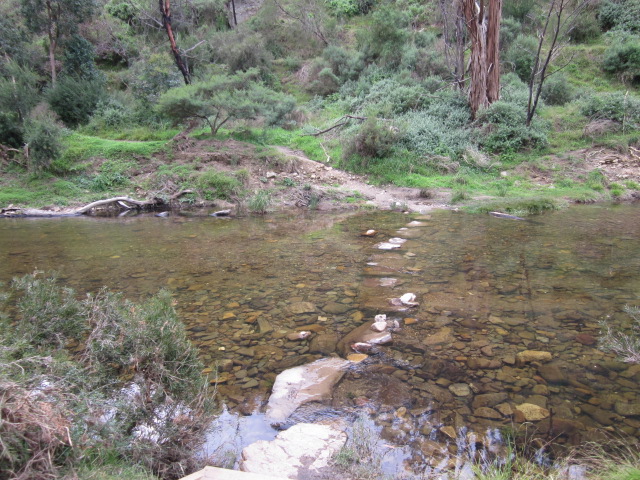
.jpg)
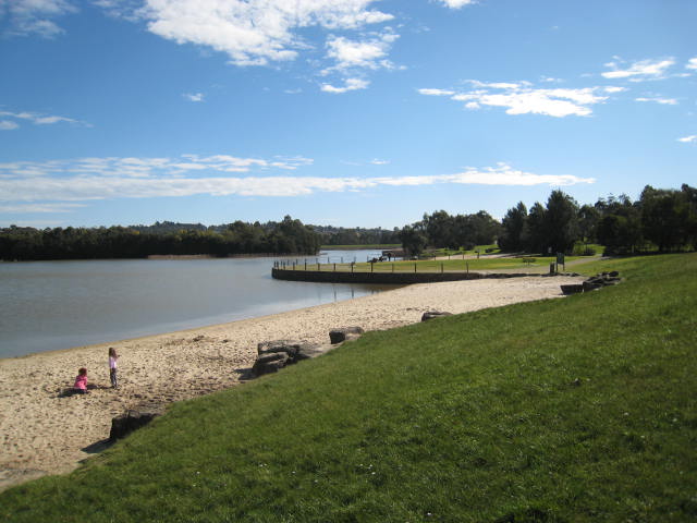
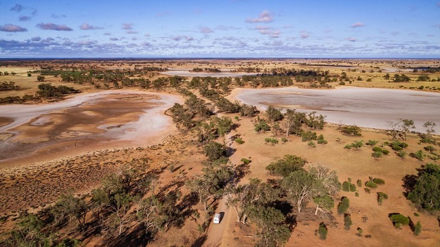
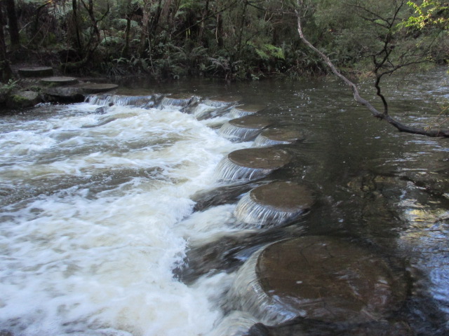
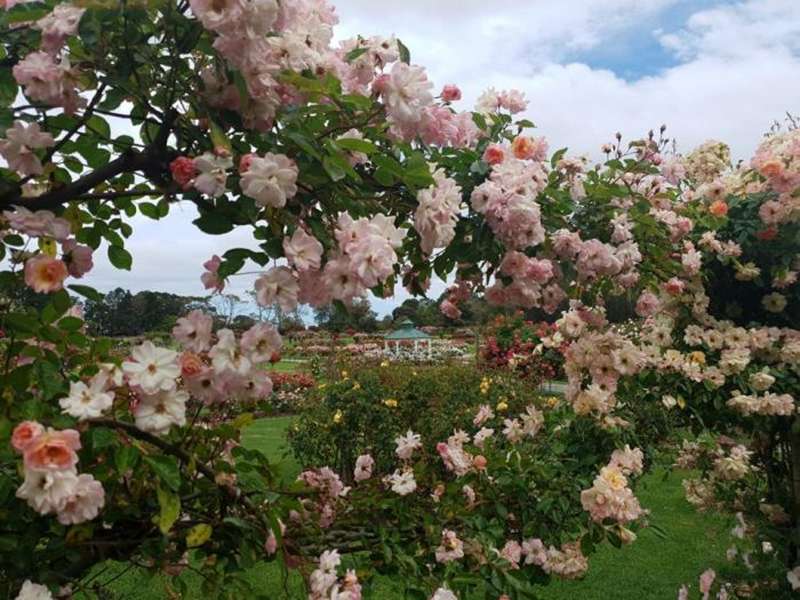
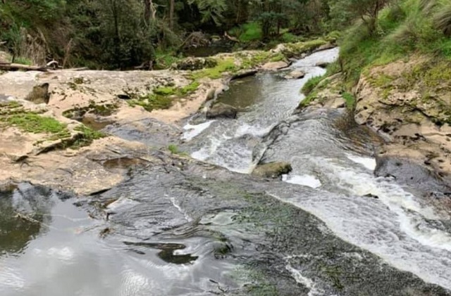
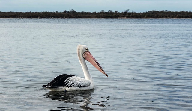
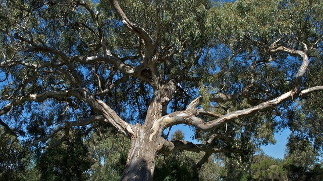
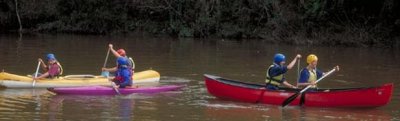
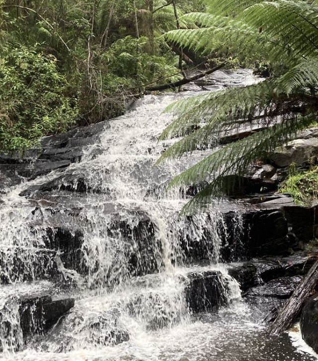
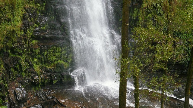
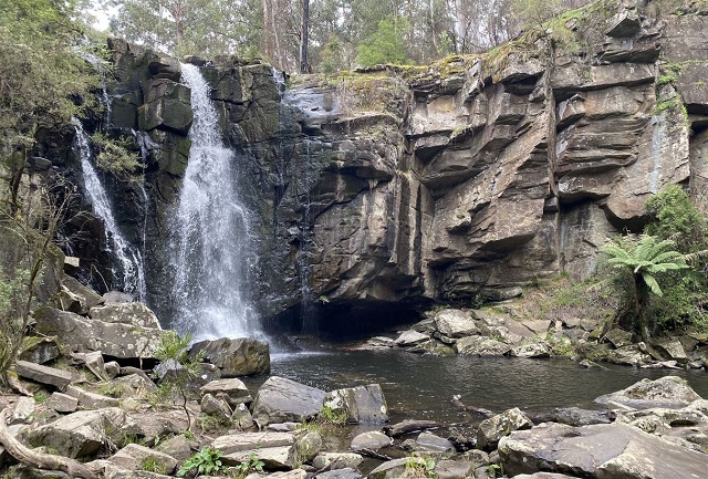
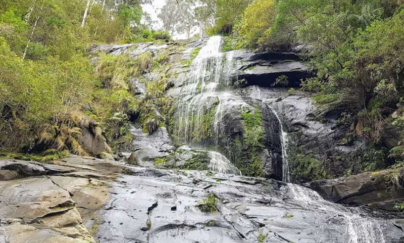
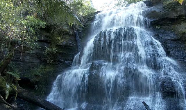
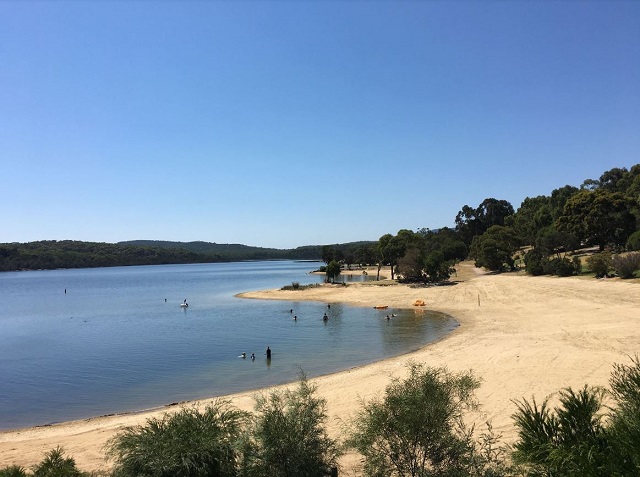
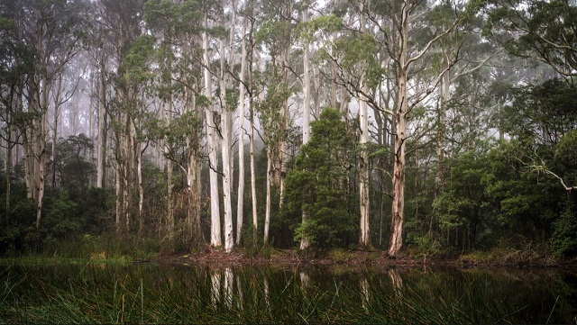
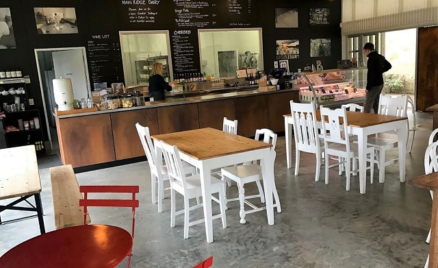
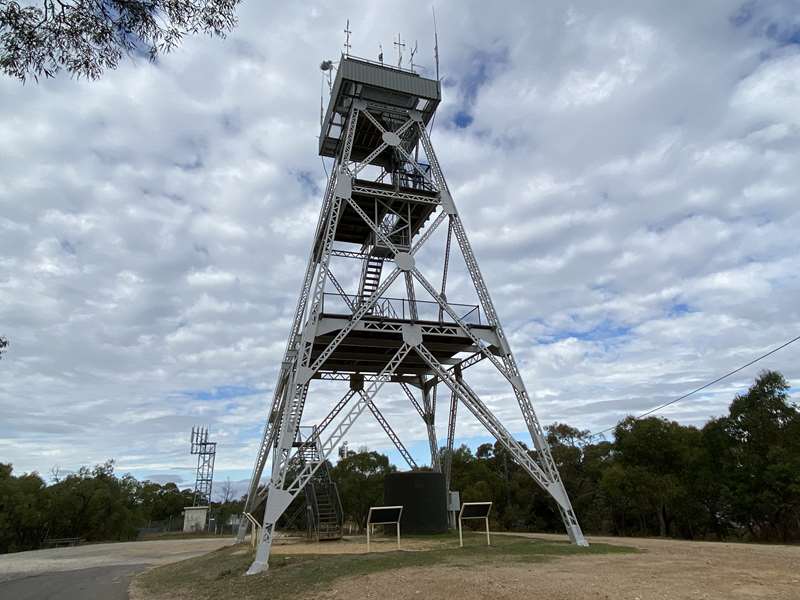
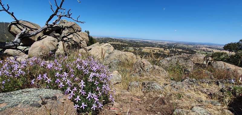
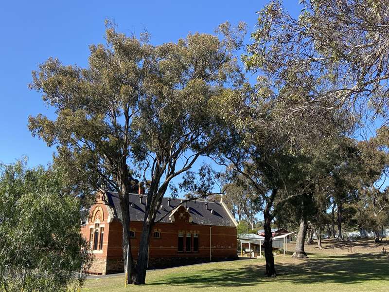
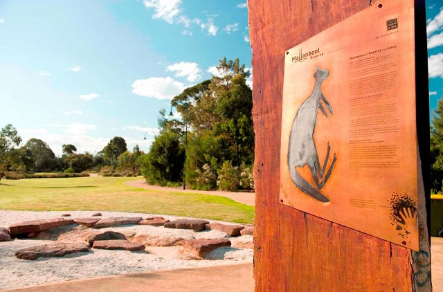
.jpg)
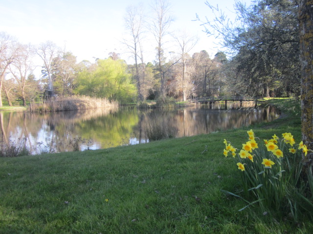
.jpg)
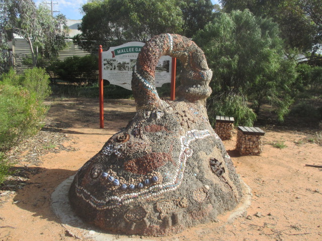

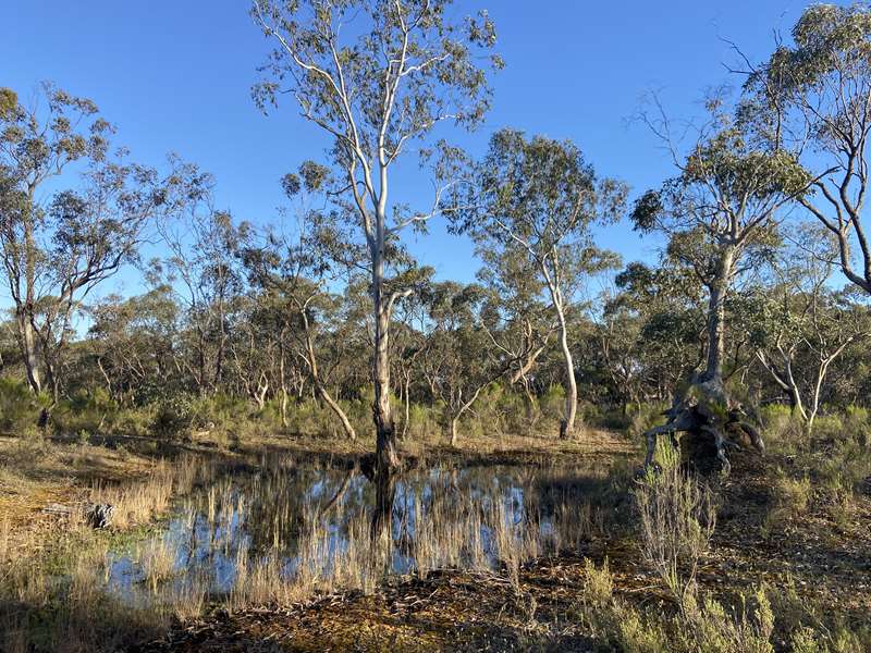
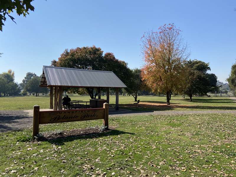
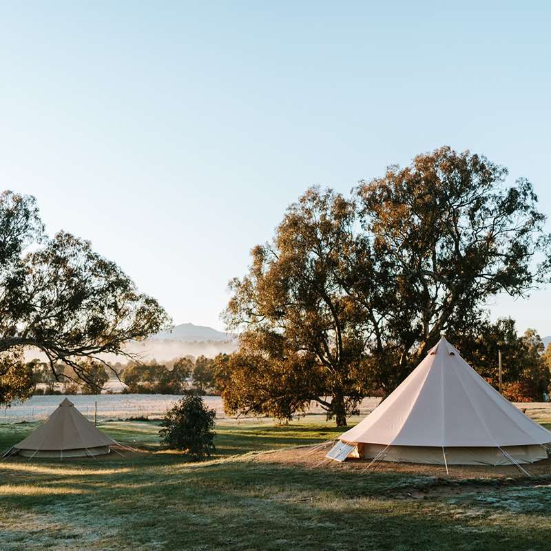
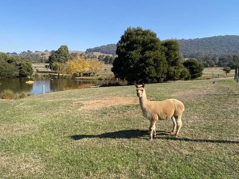
.jpg)
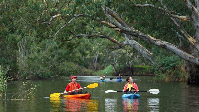
.jpg)
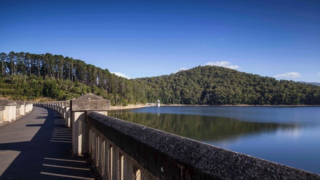
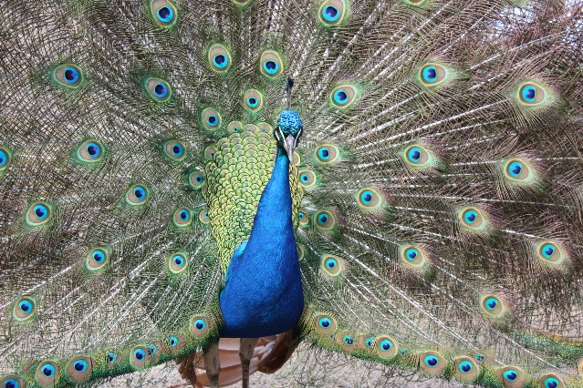
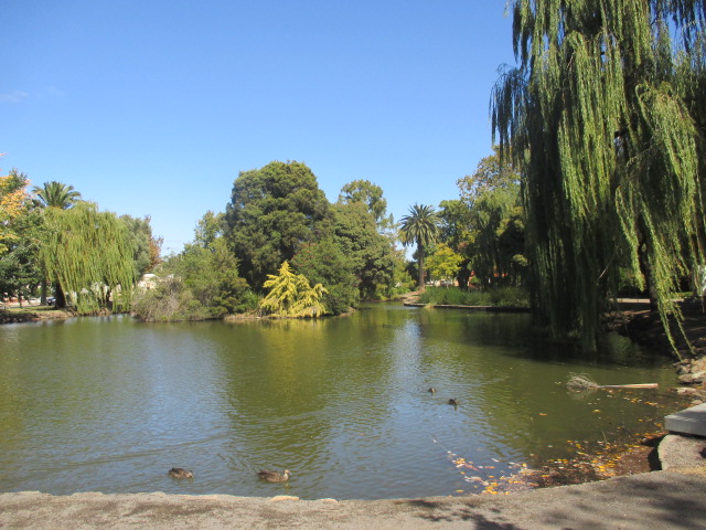
.jpg)
.jpg)
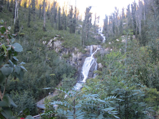
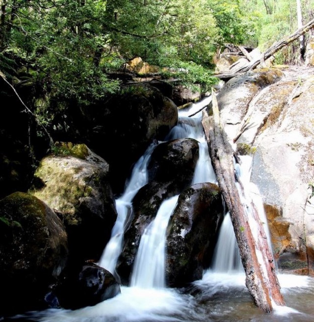
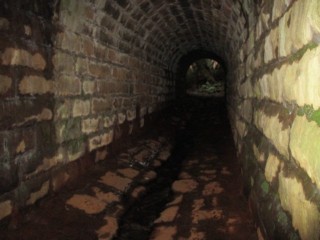
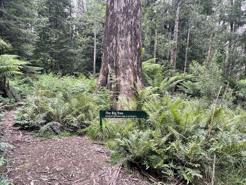
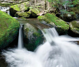
.jpg)
-embed01.jpg)
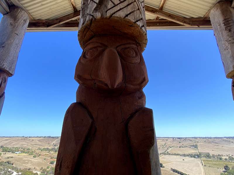
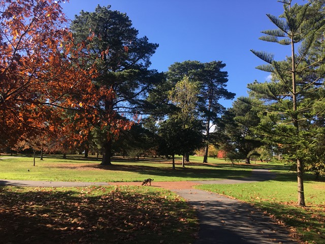
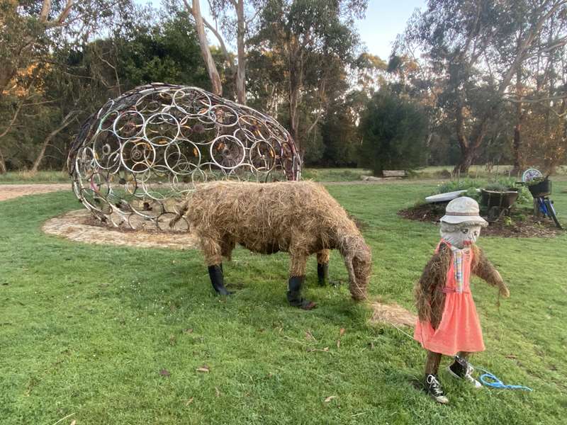

.jpg)
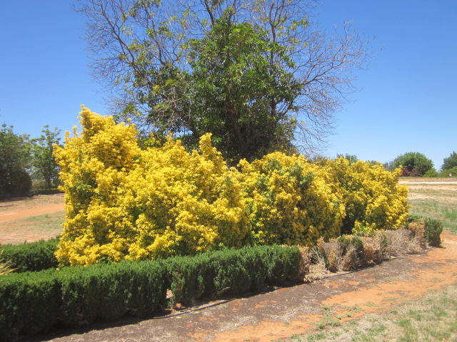
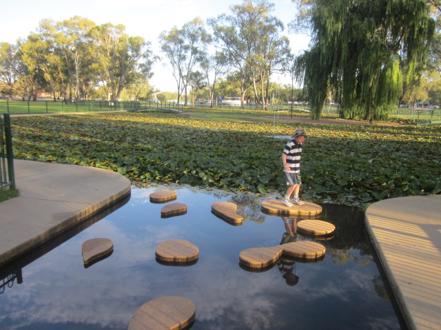
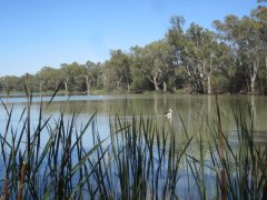
.jpg)
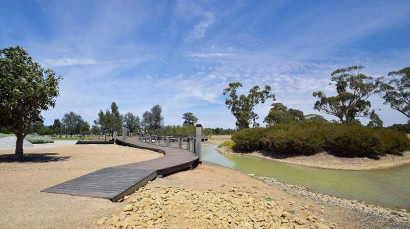
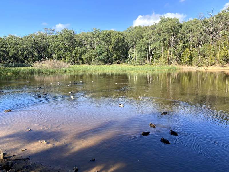
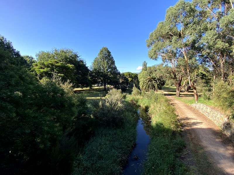
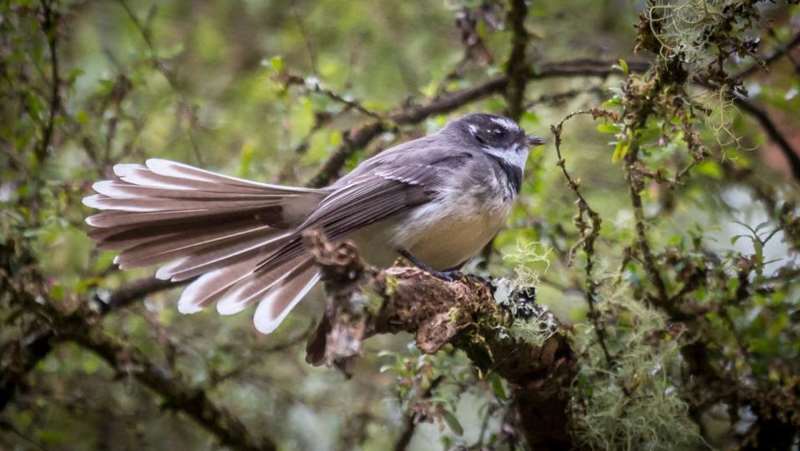
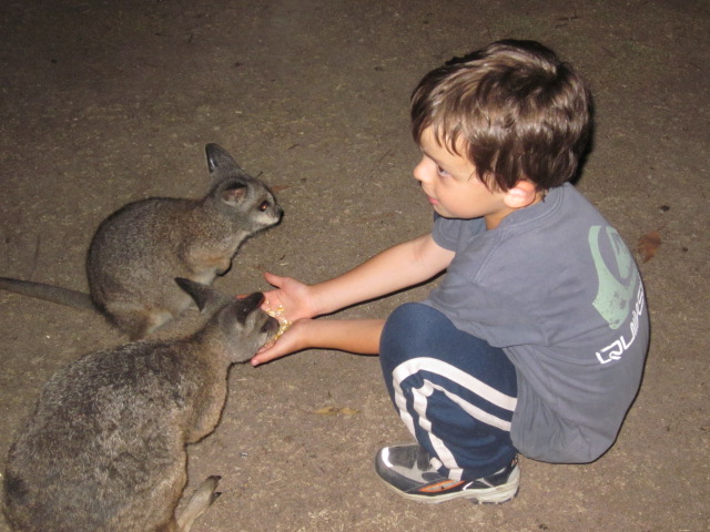
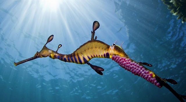
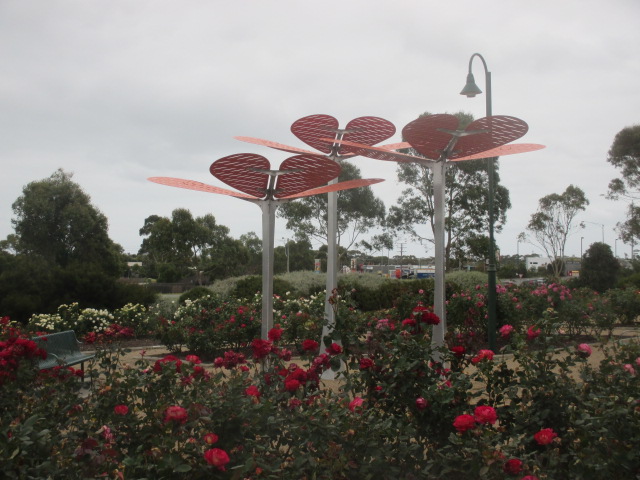
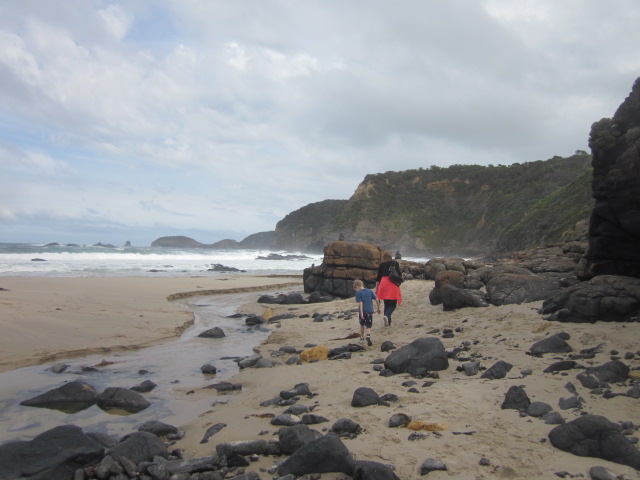
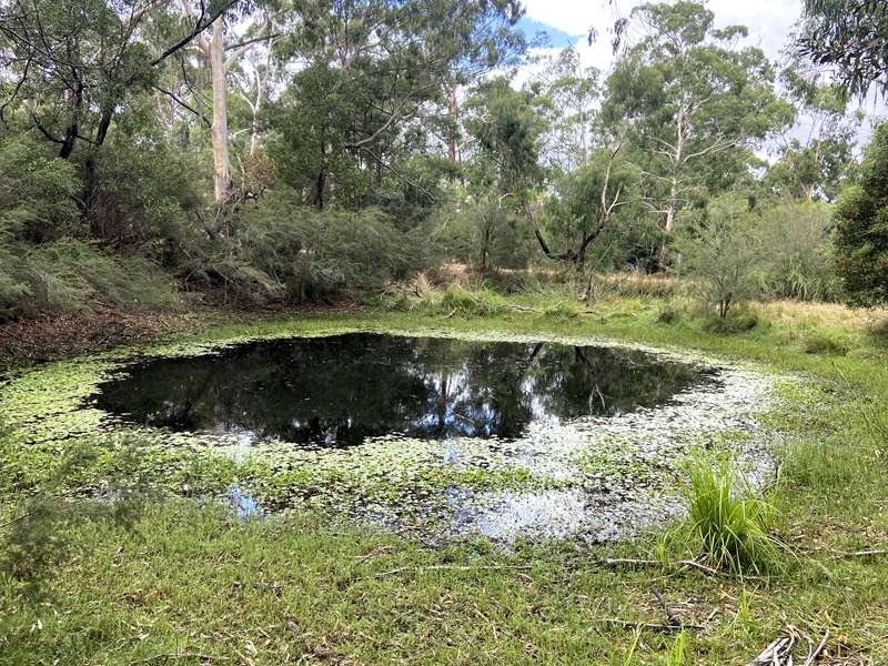
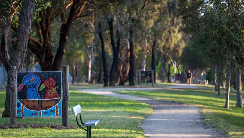
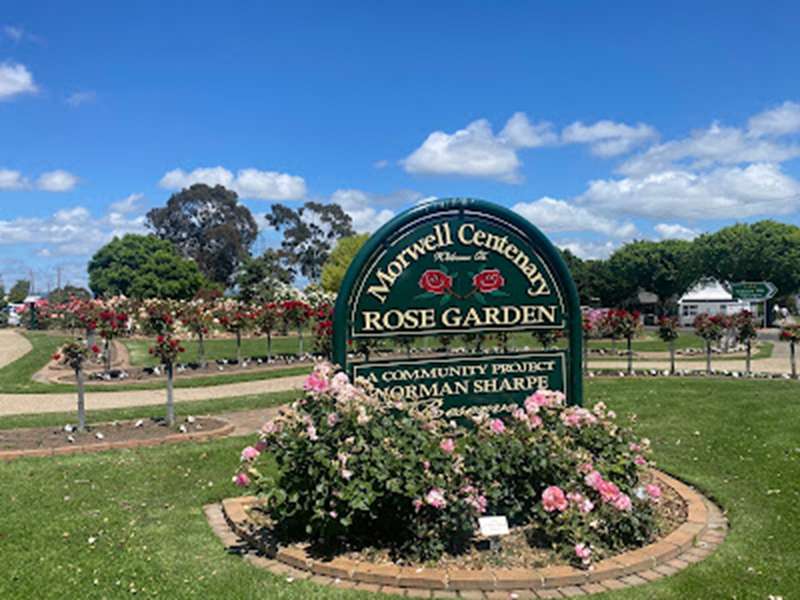
.jpg)

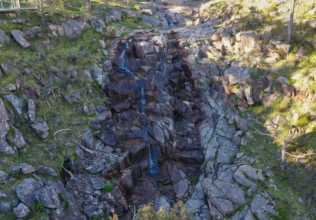
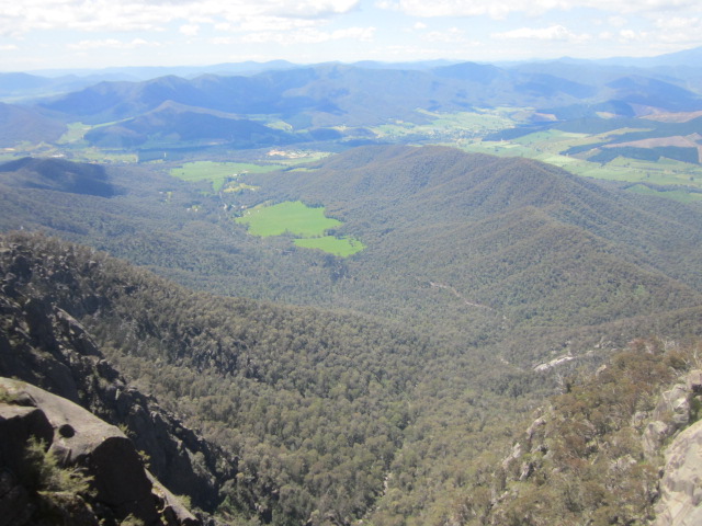
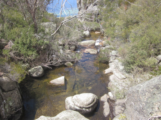
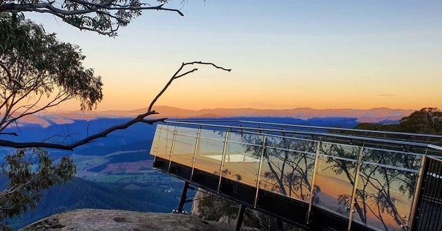
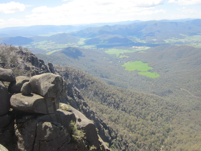
.jpg)
.jpg)
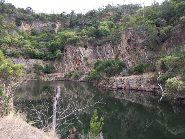
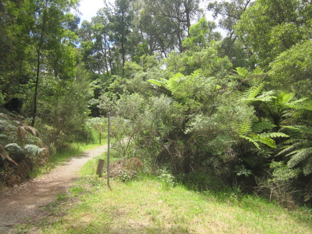
-embed02.jpg)
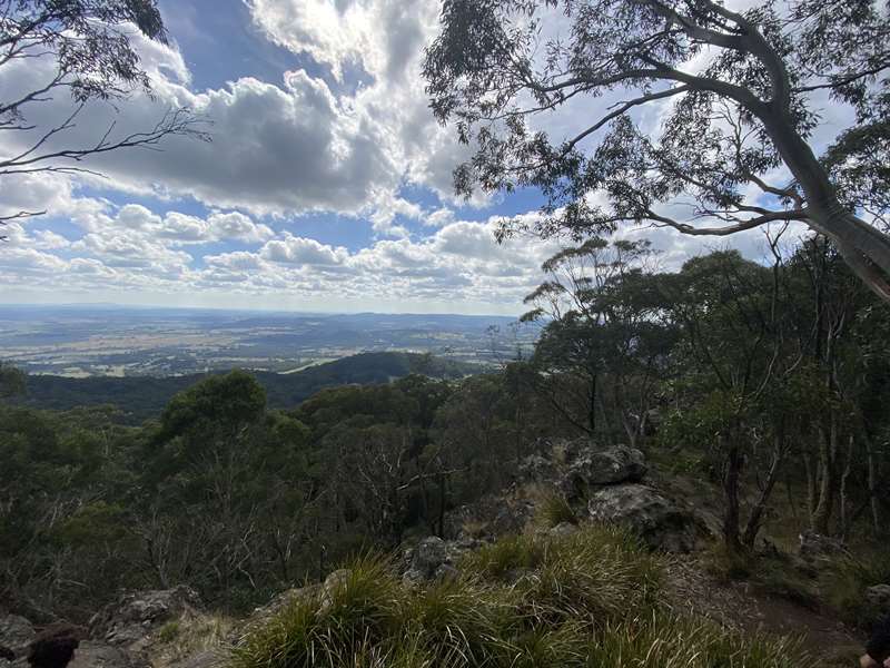
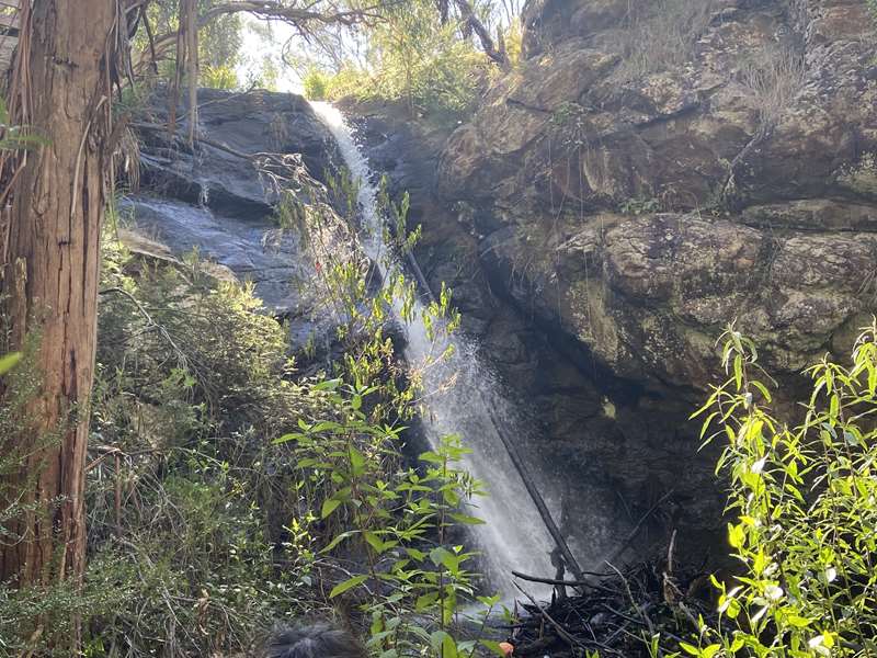
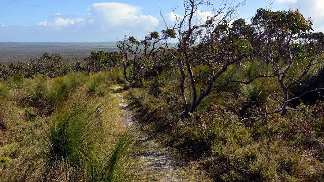
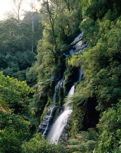
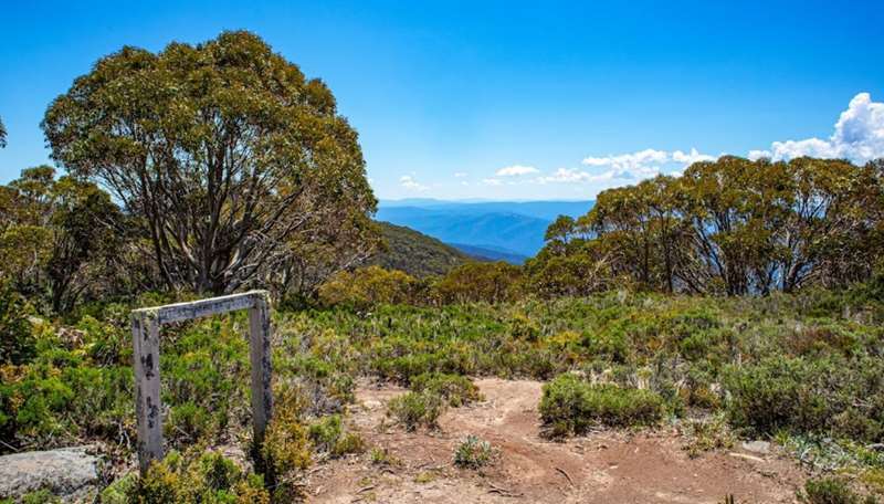

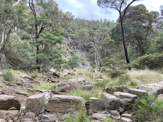
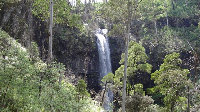
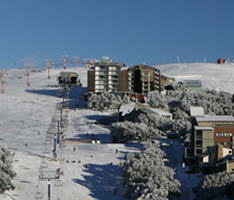
.jpg)
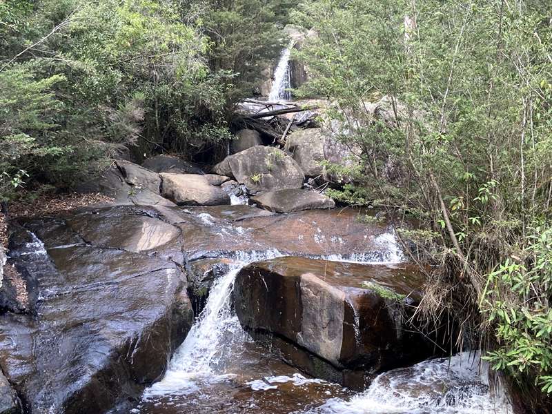
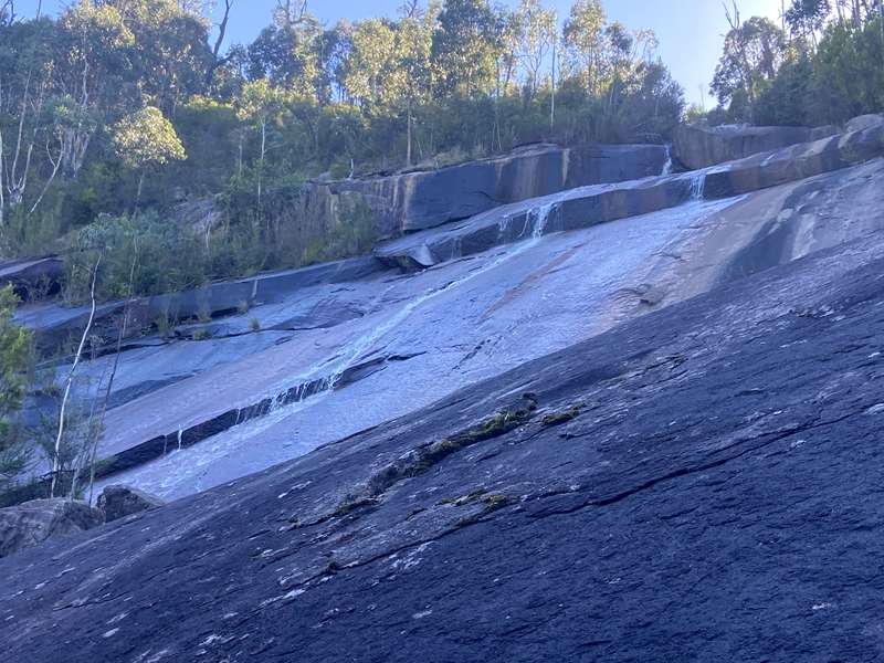
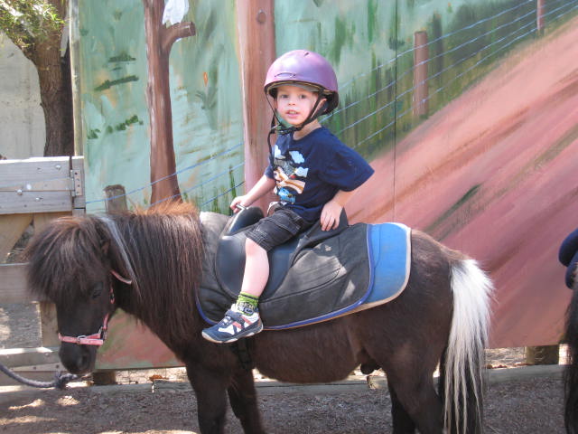
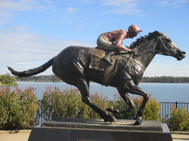
.jpg)
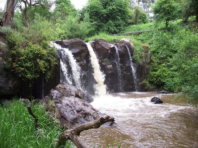

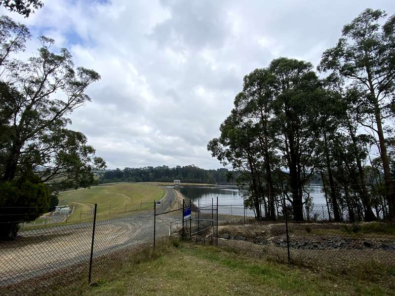
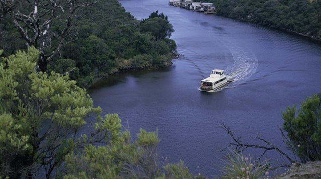
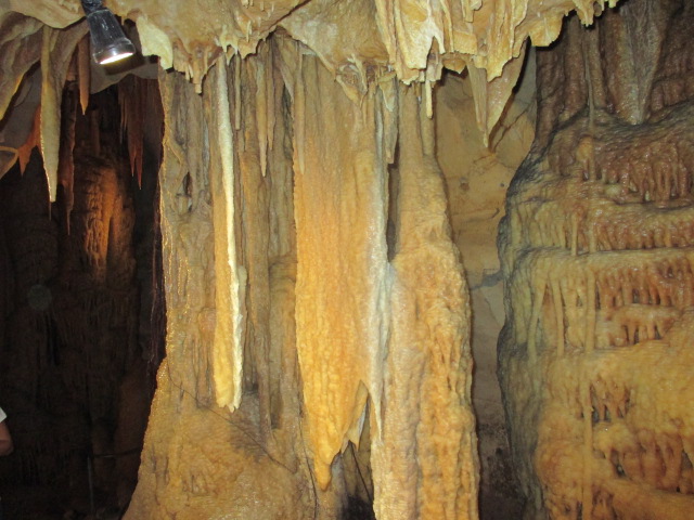
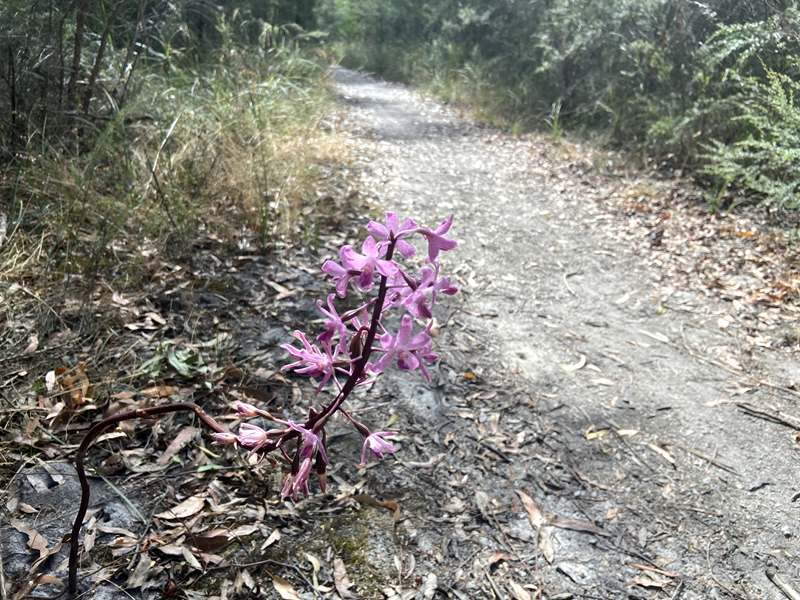
.jpg)
.jpg)
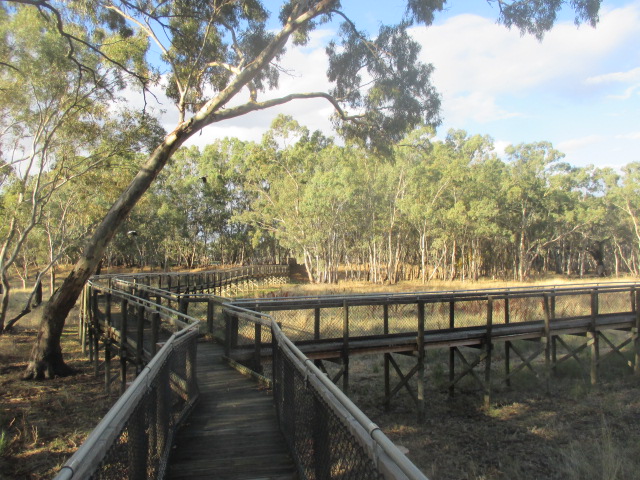
.jpg)
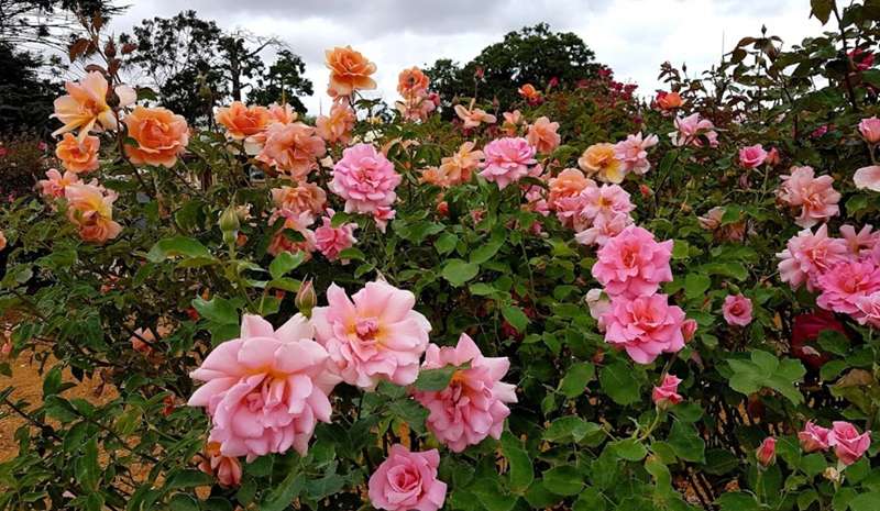
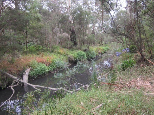
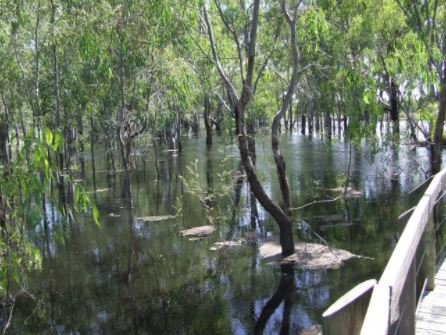
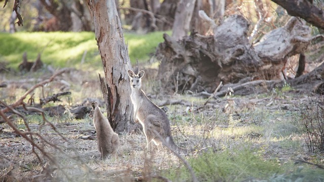
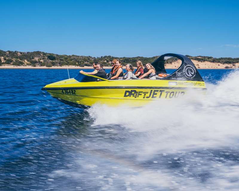
.jpg)

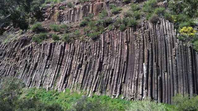
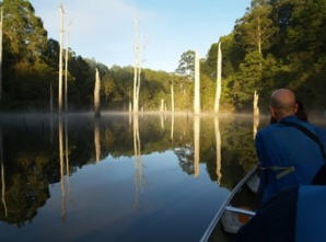
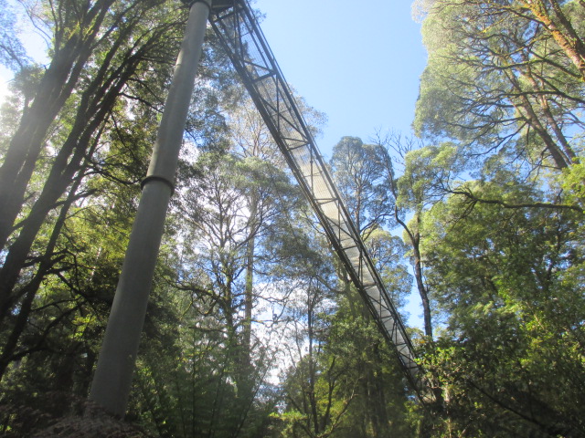
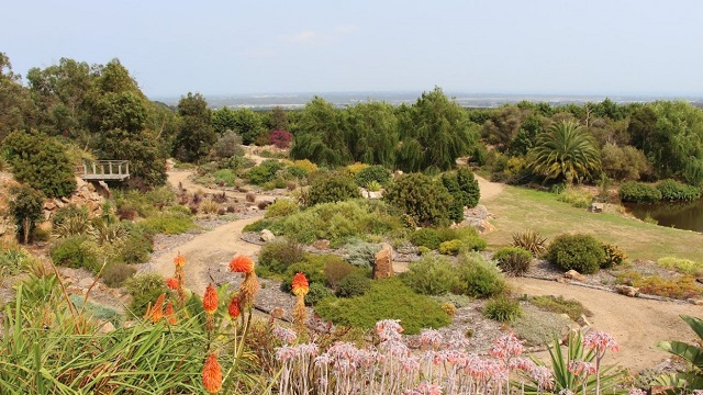
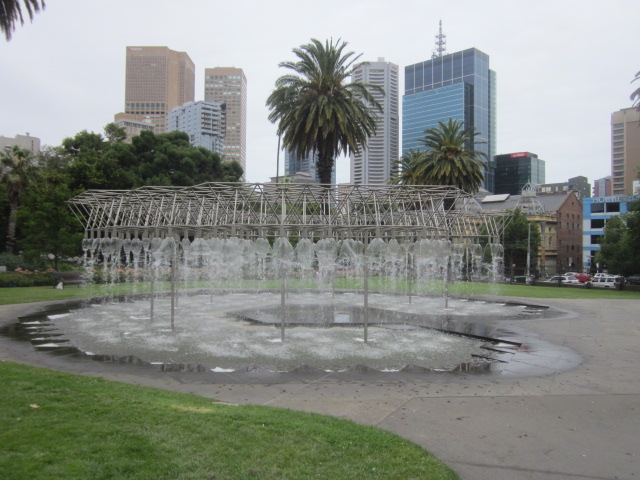
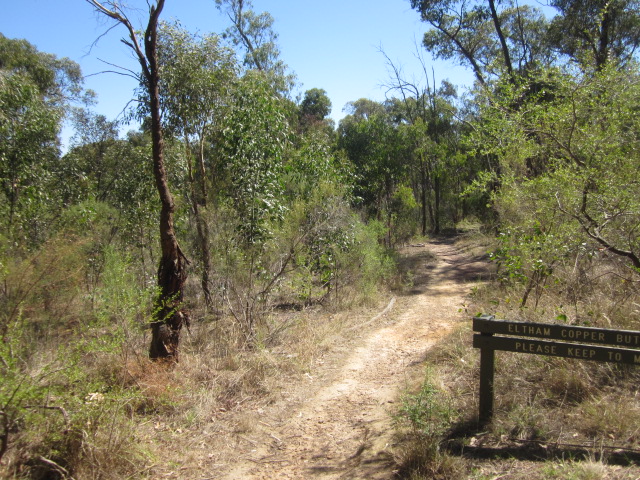
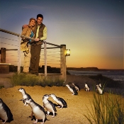
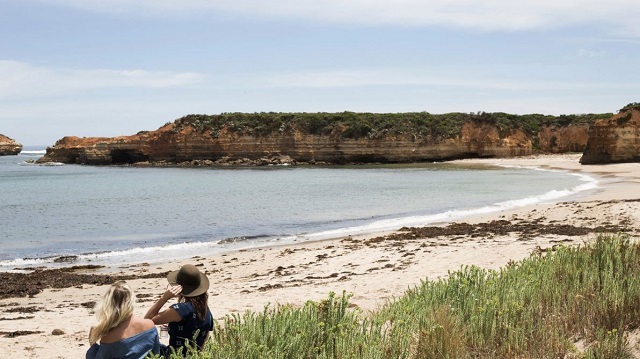
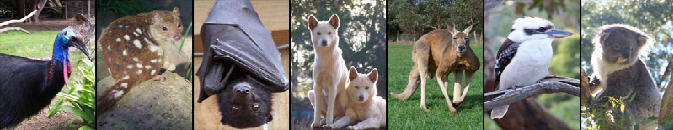
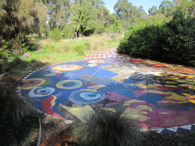
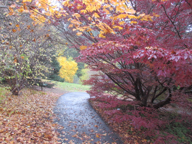
.jpg)
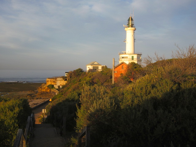
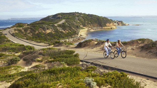
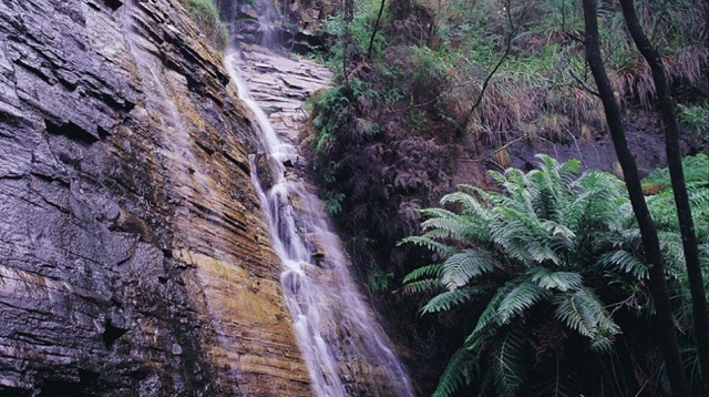
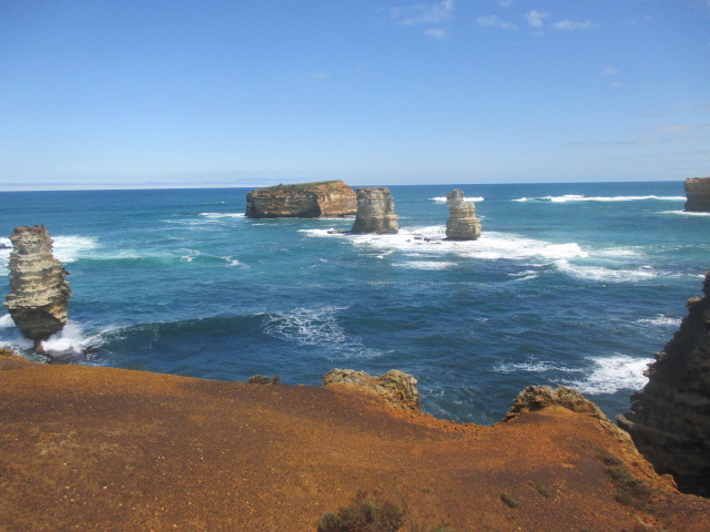
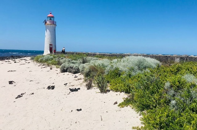

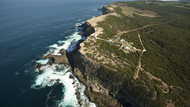
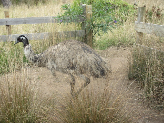
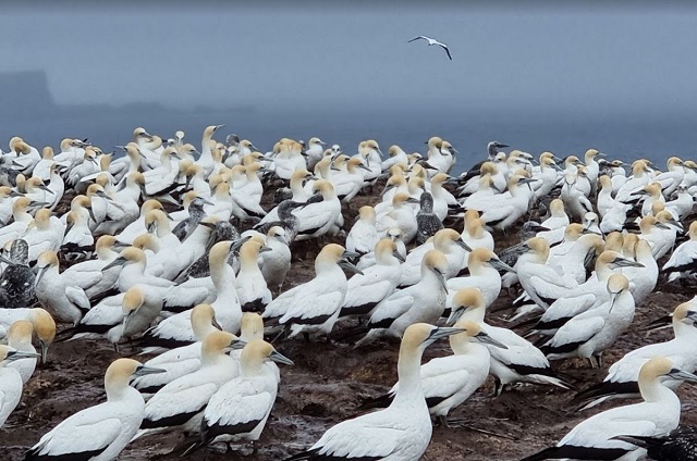
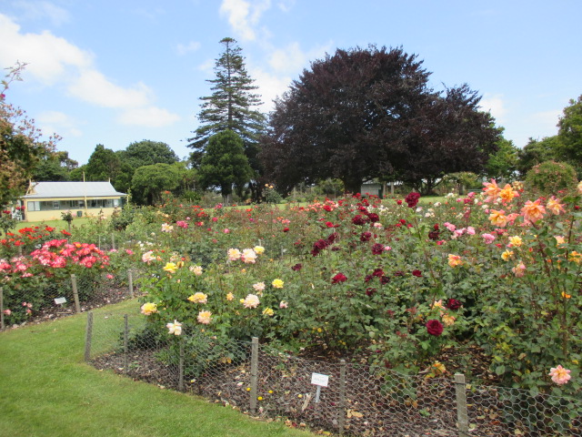
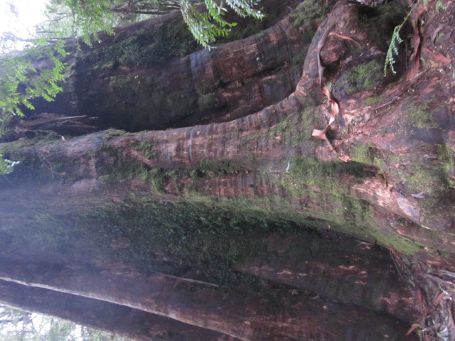
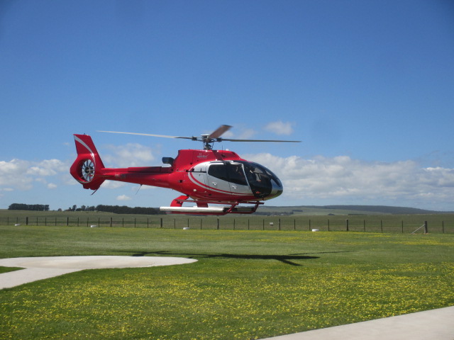
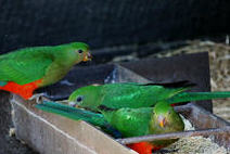

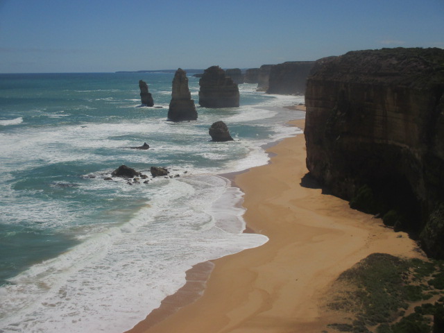
.jpg)
.jpg)
.jpg)
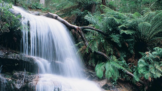
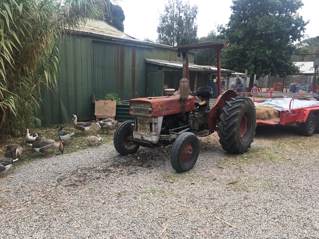
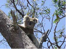
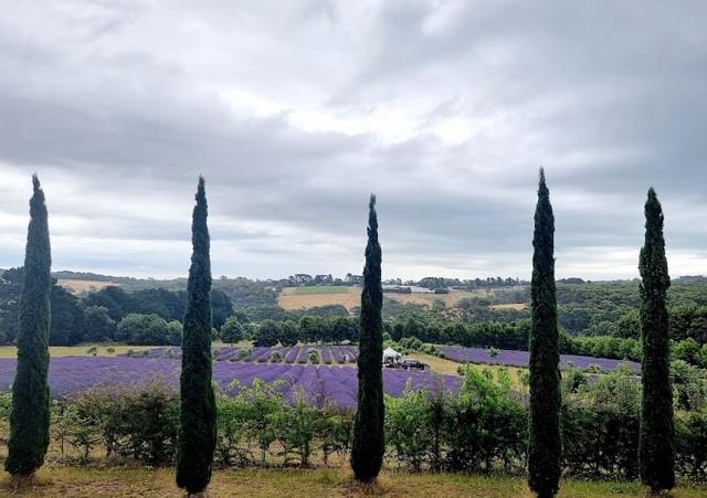
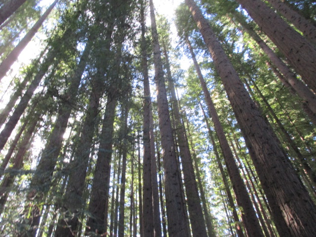
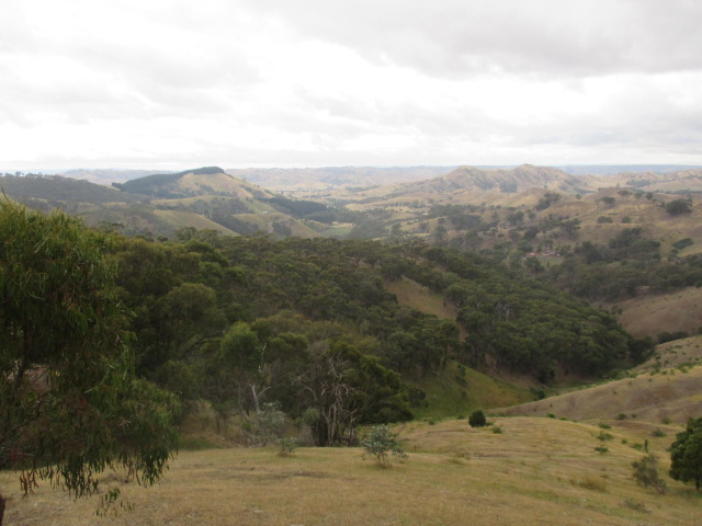
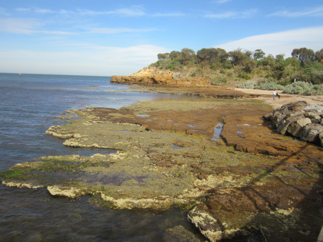
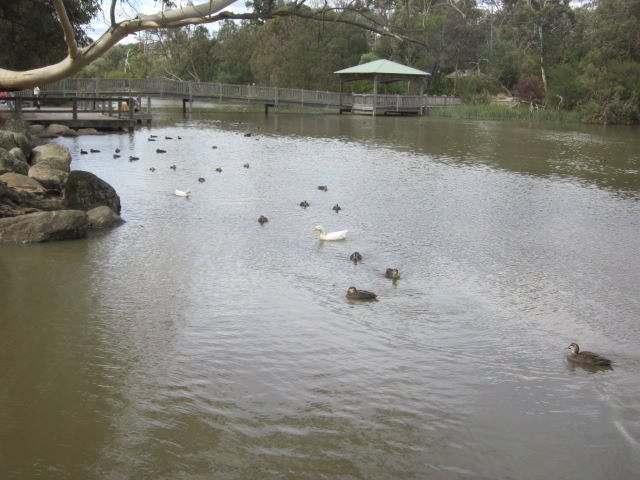
.jpg)
.jpg)
.jpg)
.jpg)
.jpg)
.jpg)
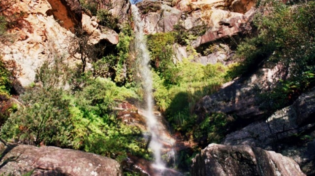
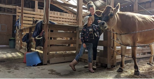
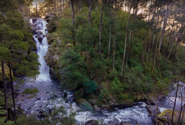
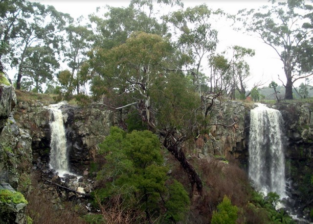
.jpg)

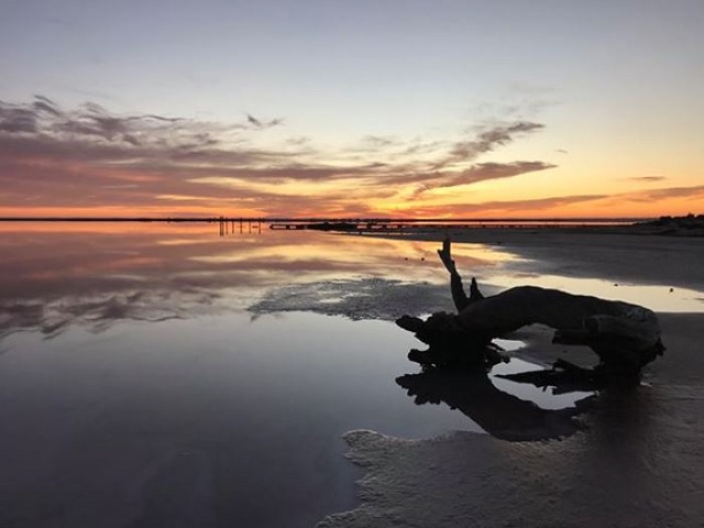
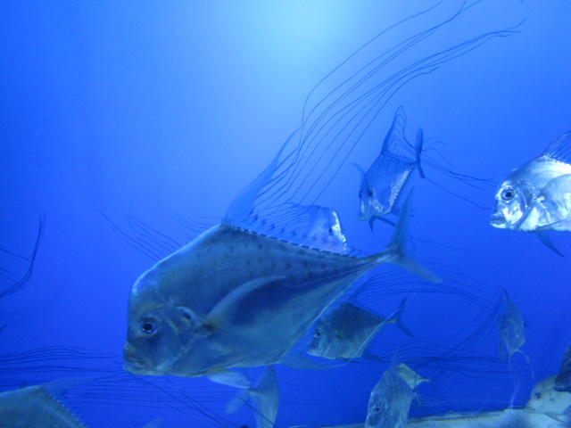
.jpg)
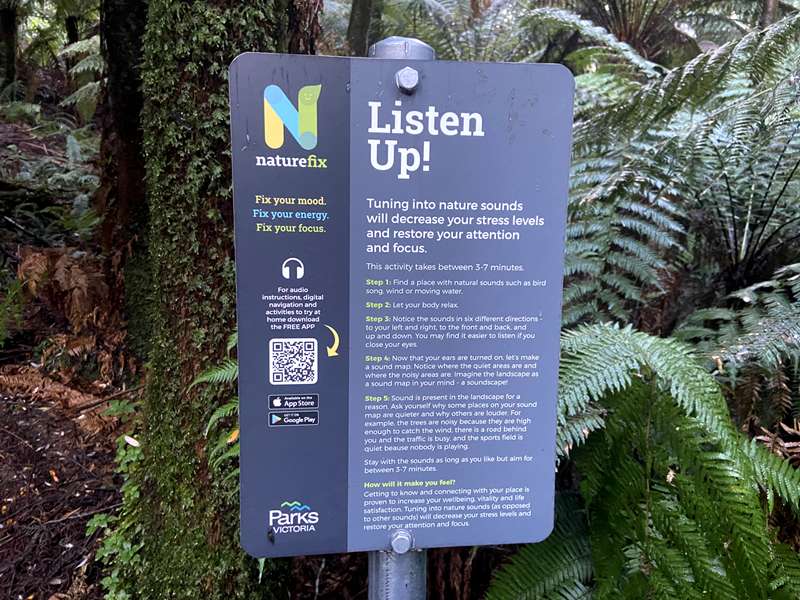
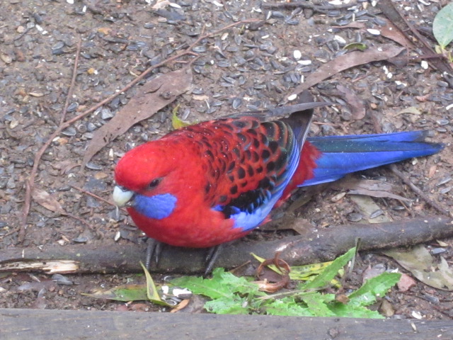
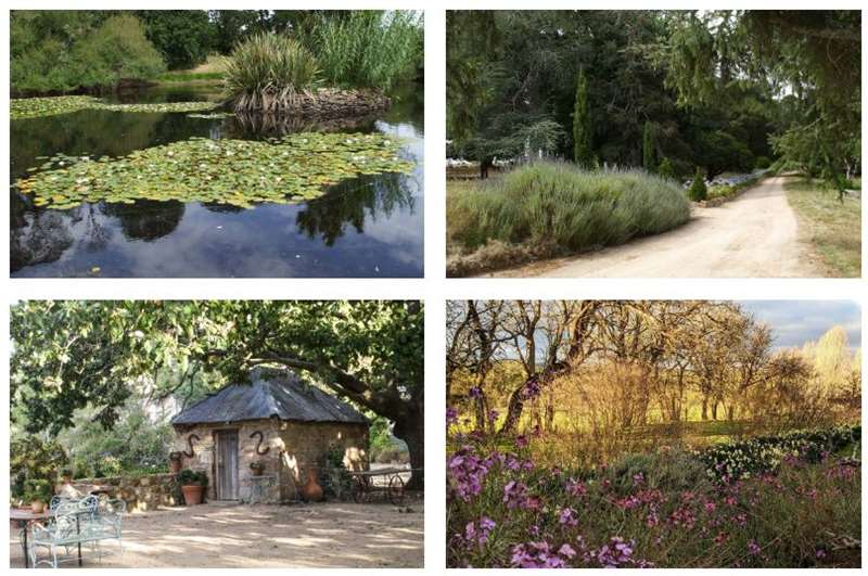
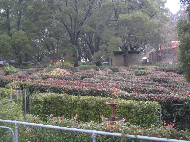
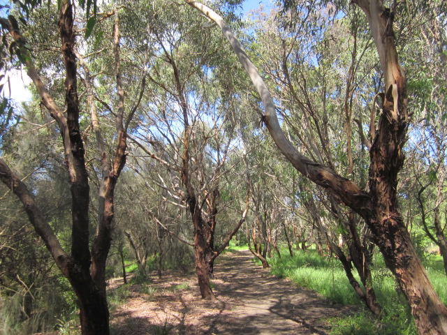
.jpg)
.jpg)
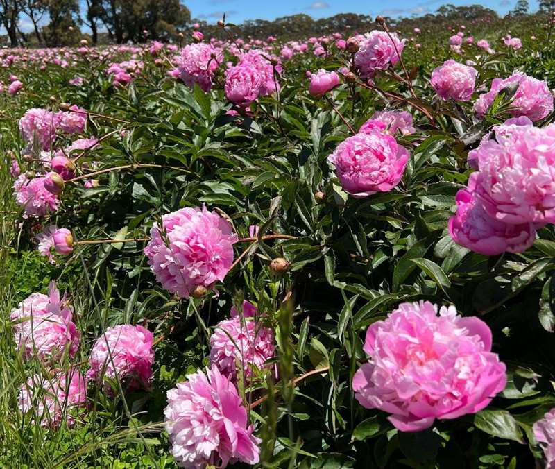
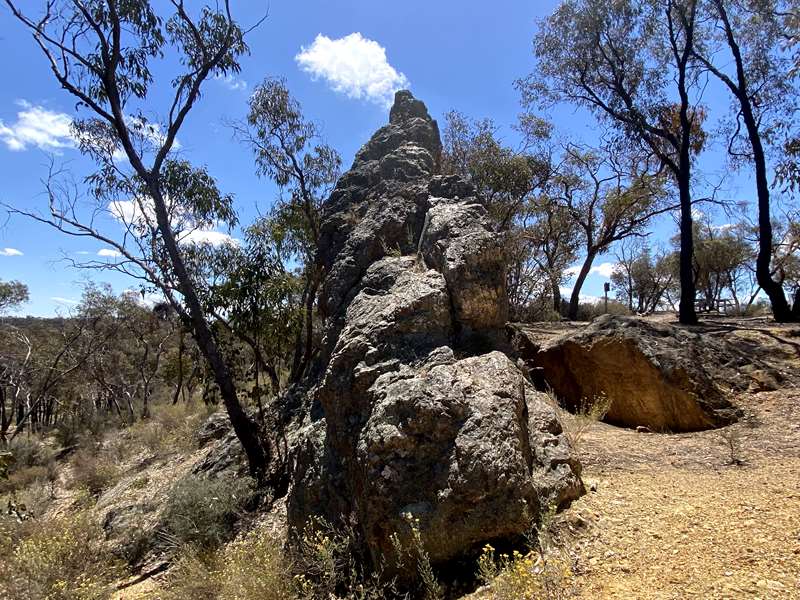
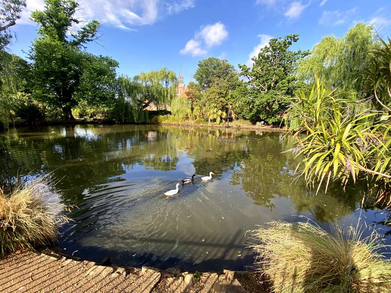
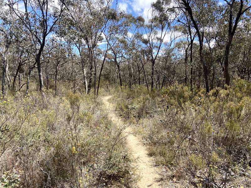
.jpg)
.jpg)
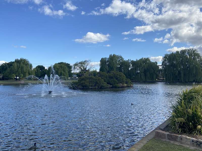
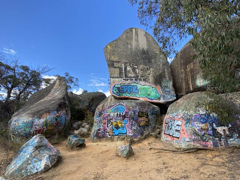
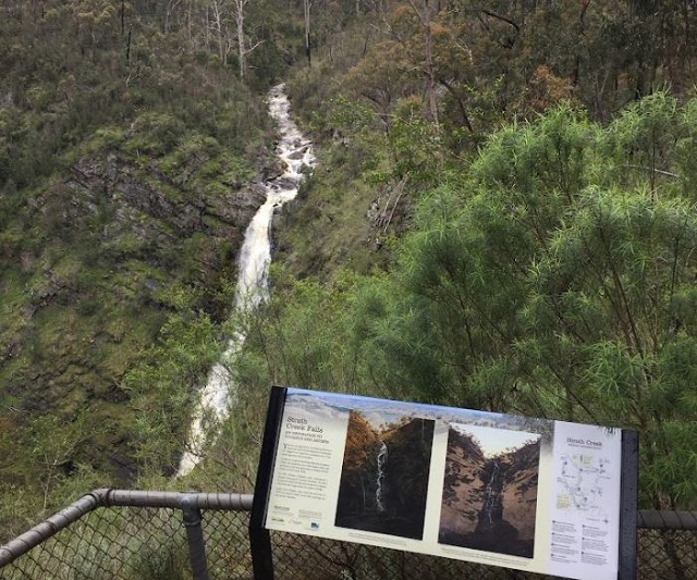
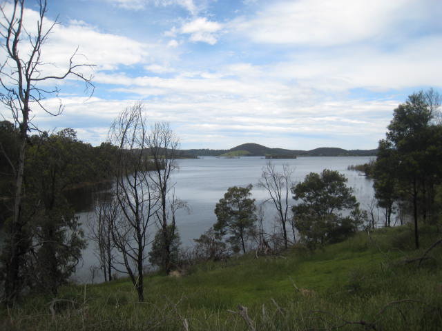
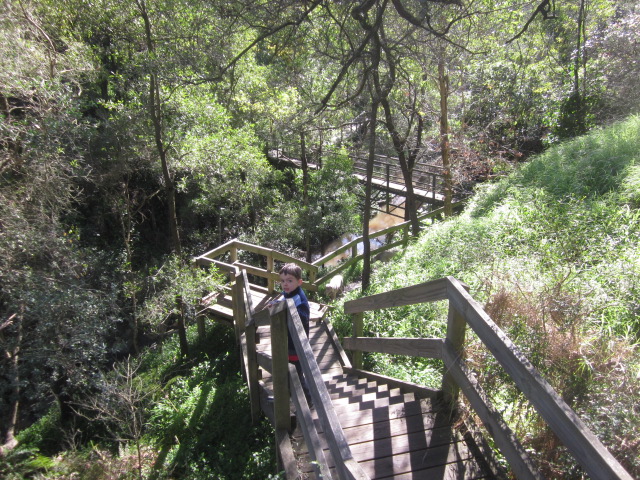
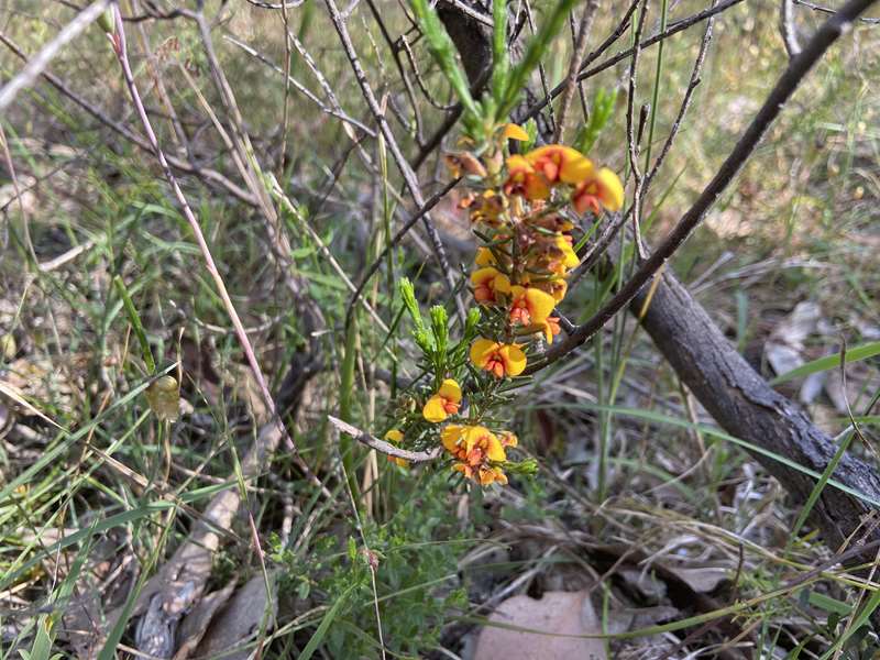
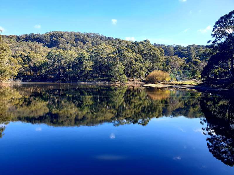
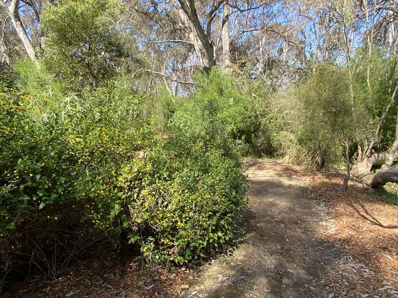
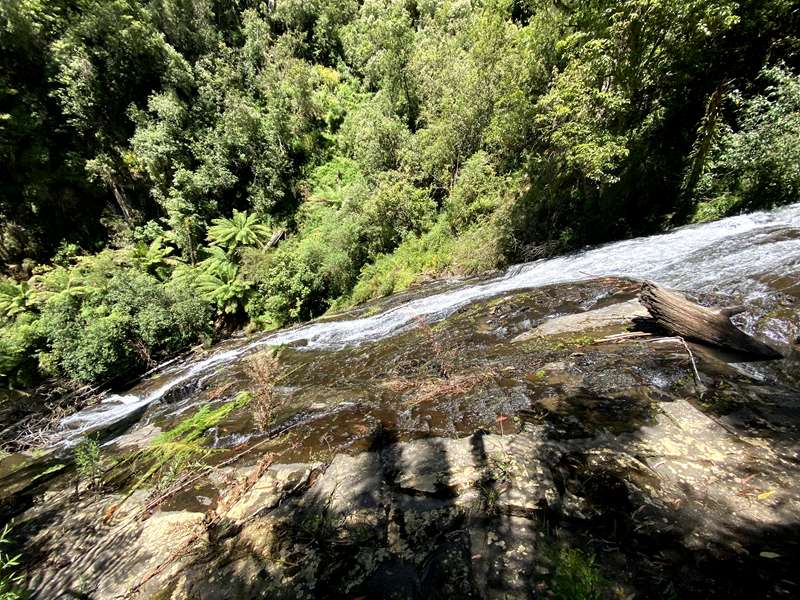
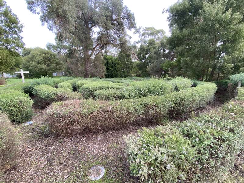
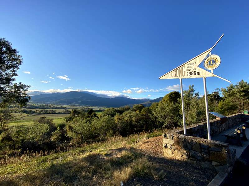
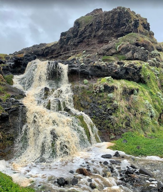
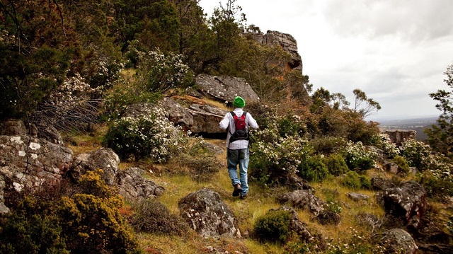
.jpg)
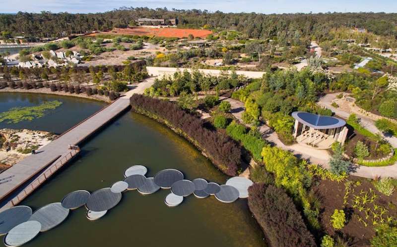
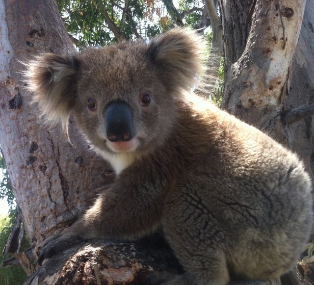
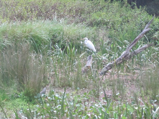
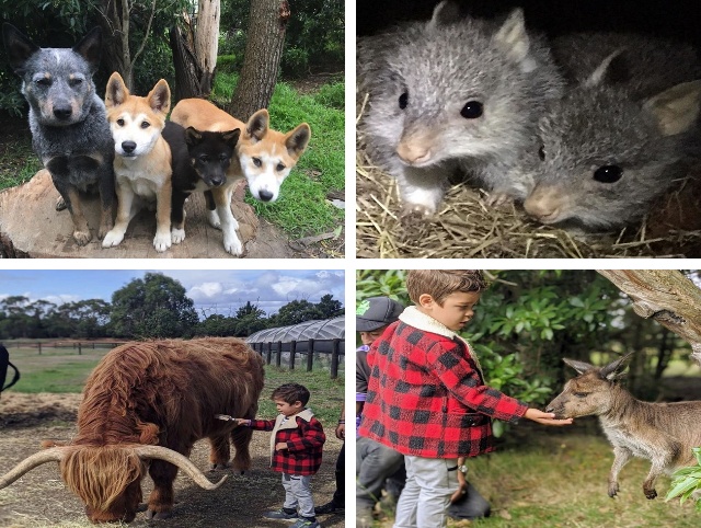
-embed05.jpg)
.jpg)
.jpg)
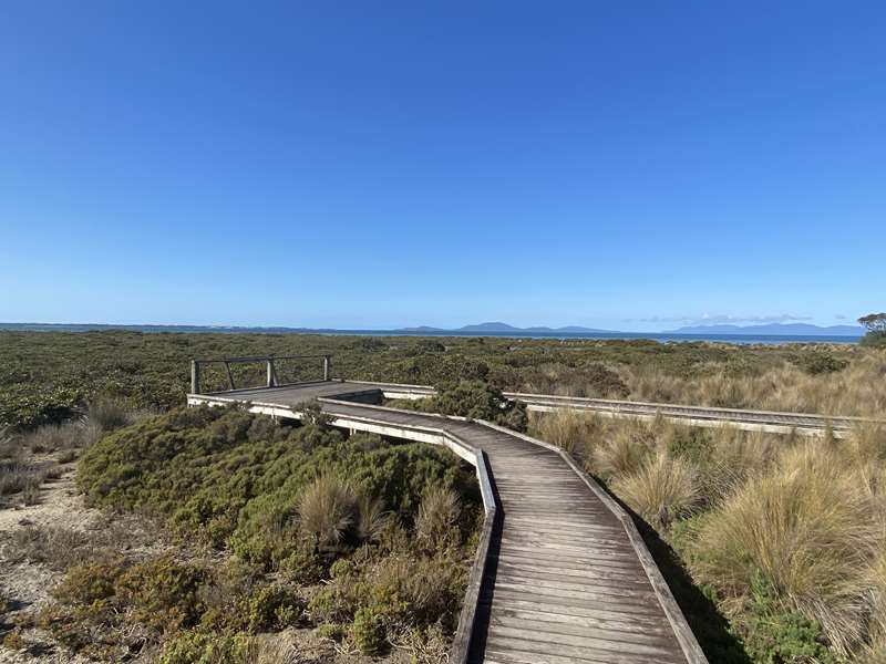
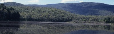
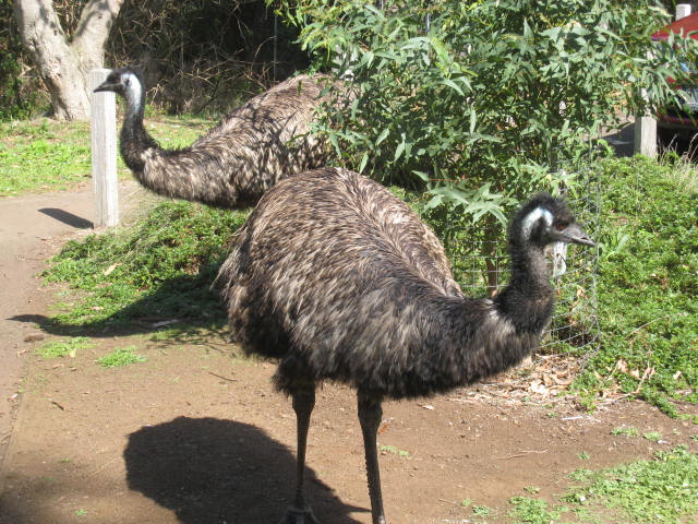
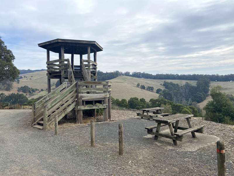
.jpg)
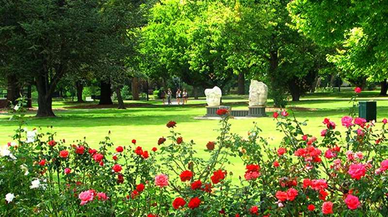
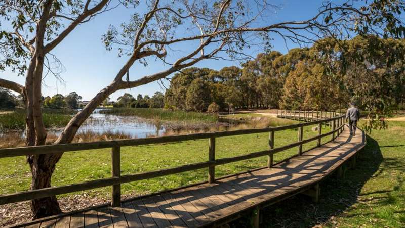
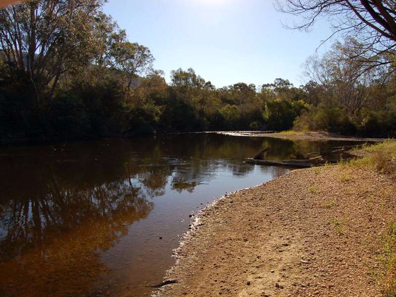
.jpg)
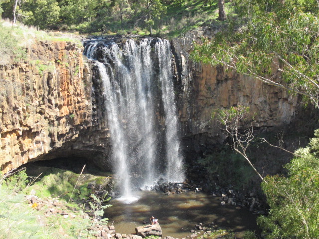
.jpg)
.jpg)
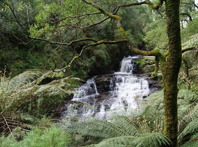
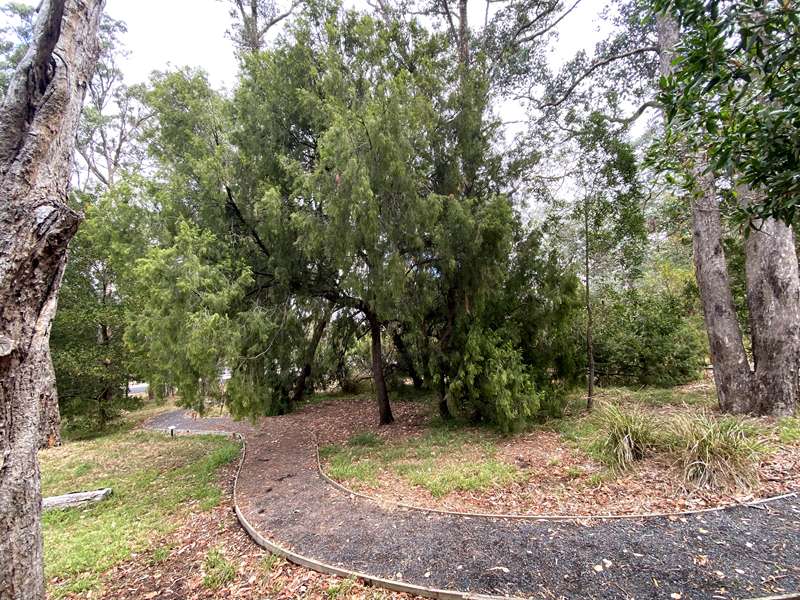
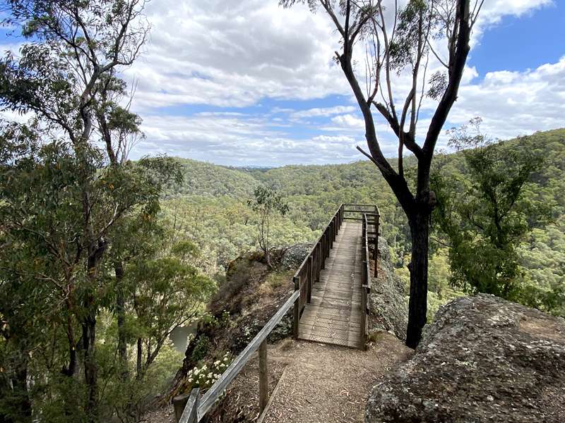

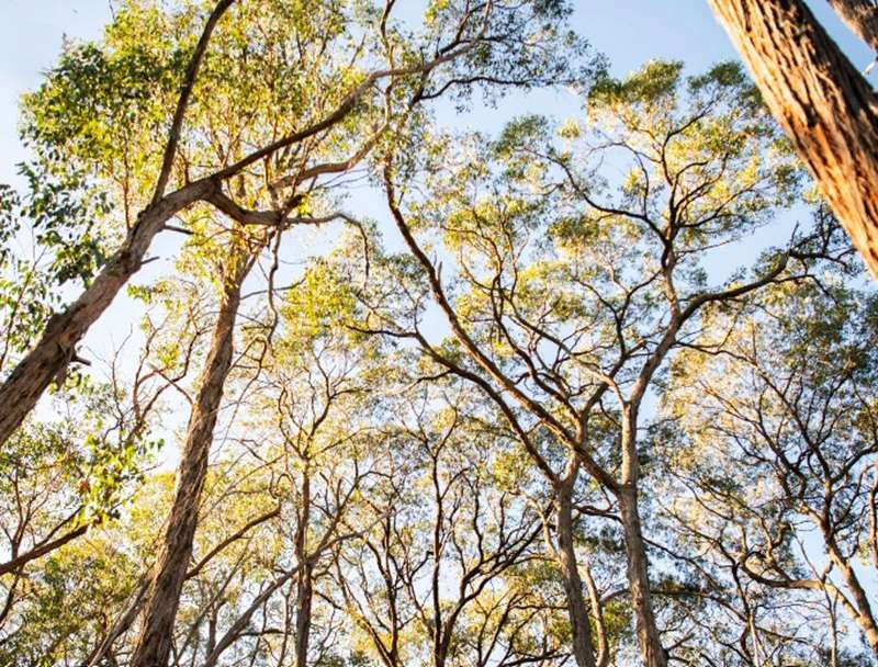
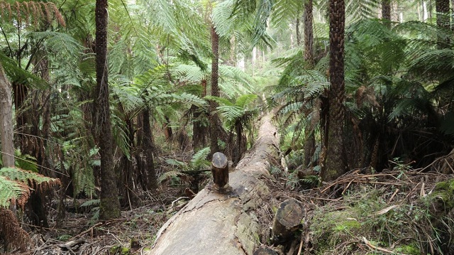
.jpg)
.jpg)
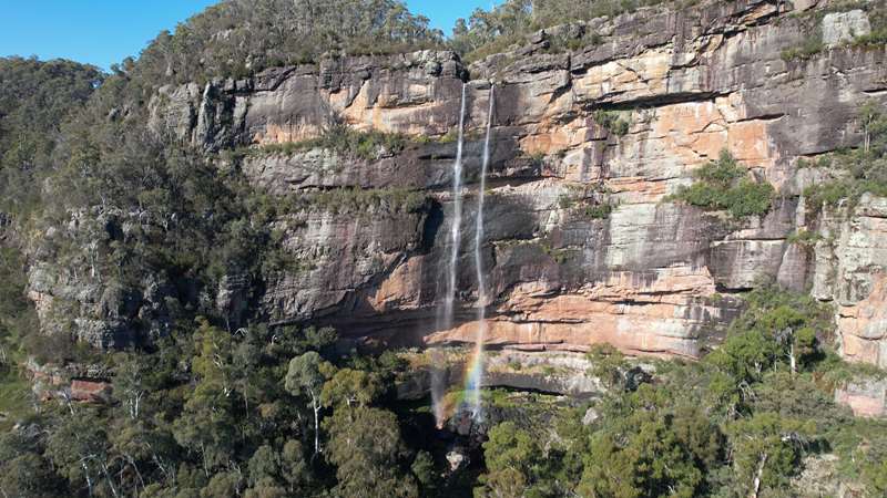
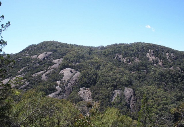
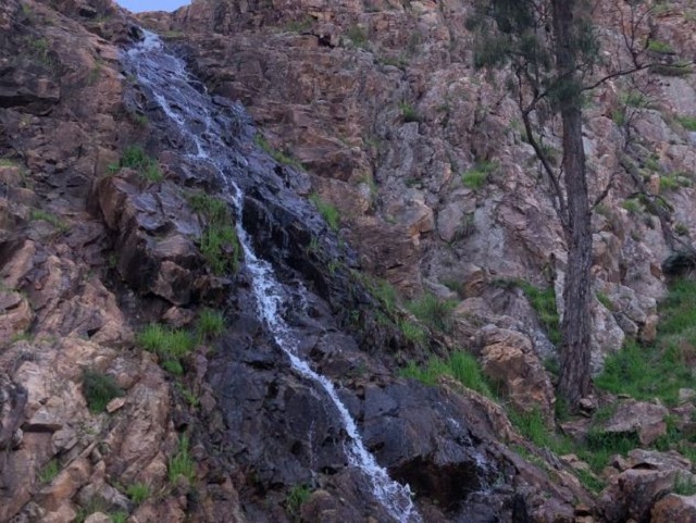
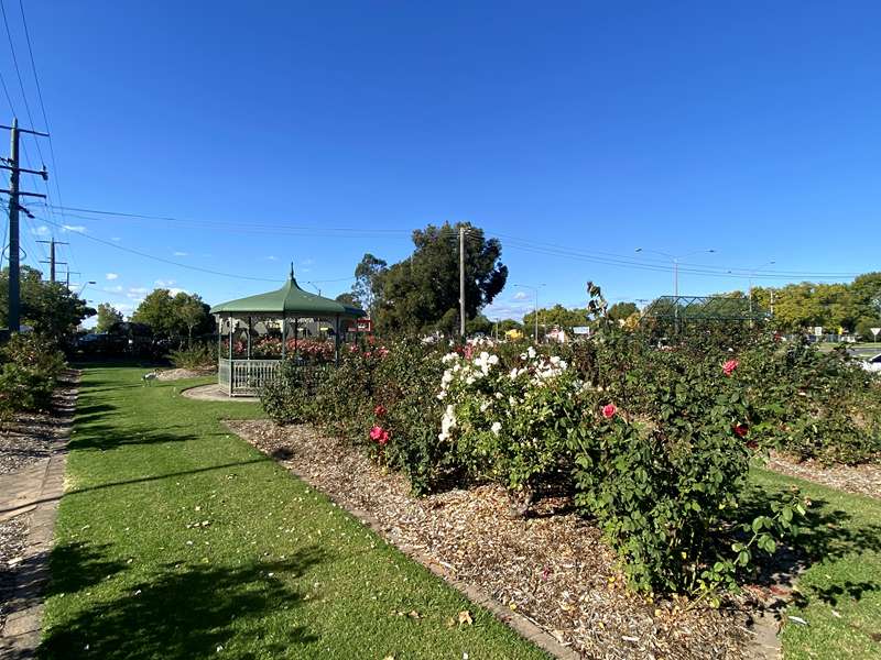
.jpg)
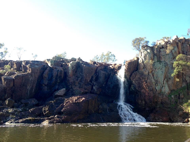
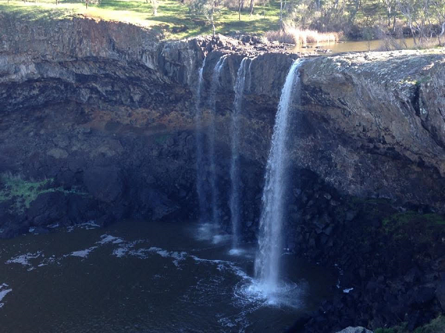
.jpg)
.jpg)
.jpg)
.jpg)
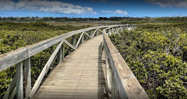
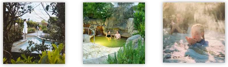
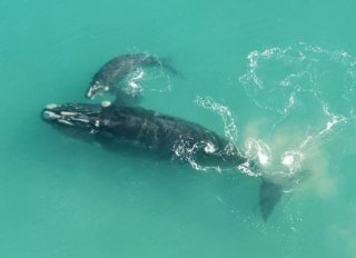
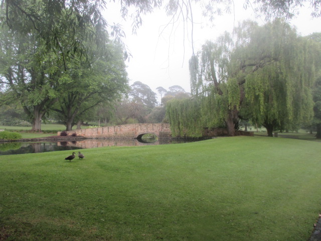
.jpg)
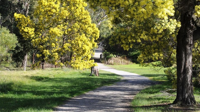
-embed01.jpg)
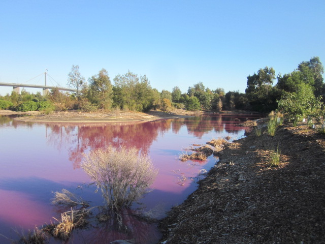
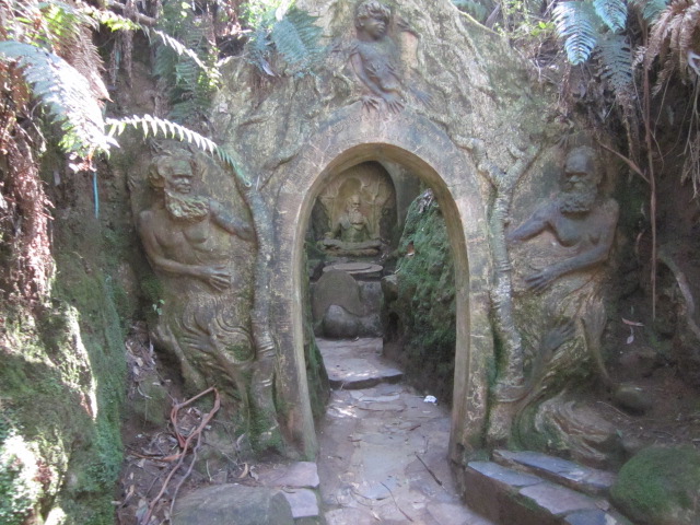
.jpg)
.jpg)
.jpg)
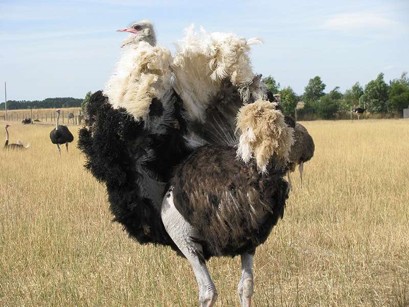
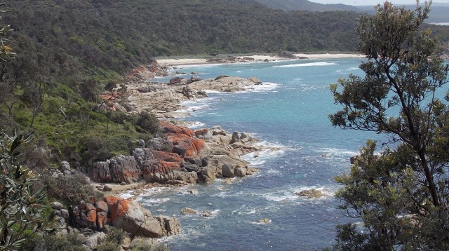
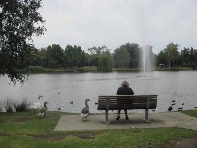
.jpg)
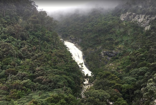
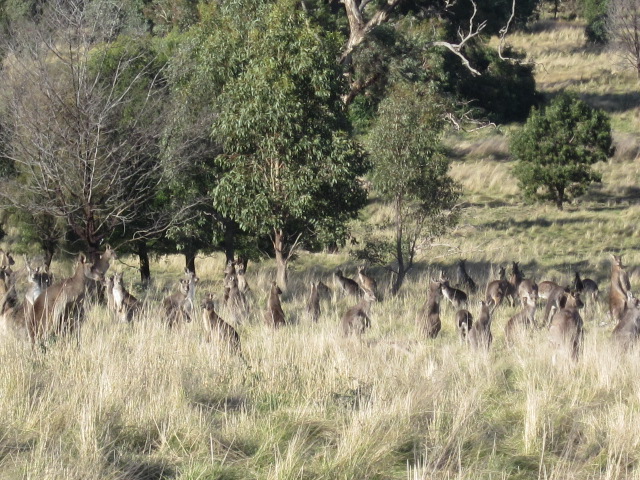
.jpg)
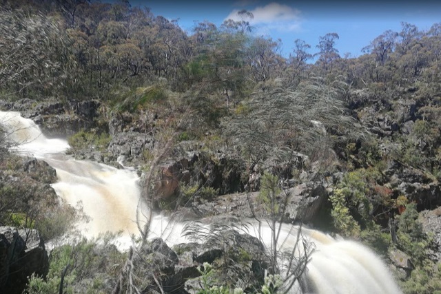
.jpg)
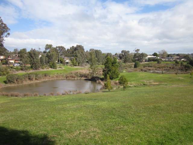
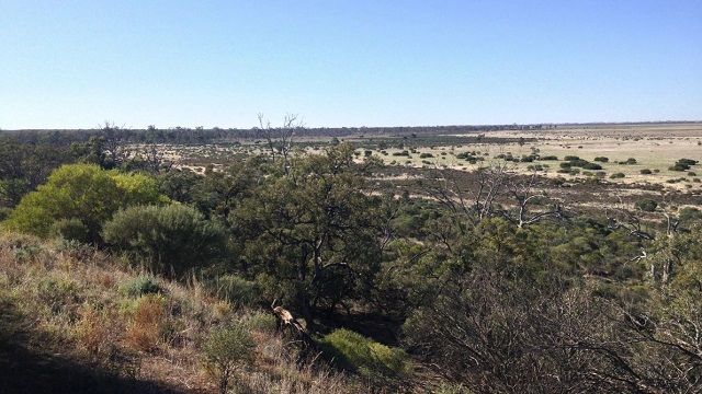
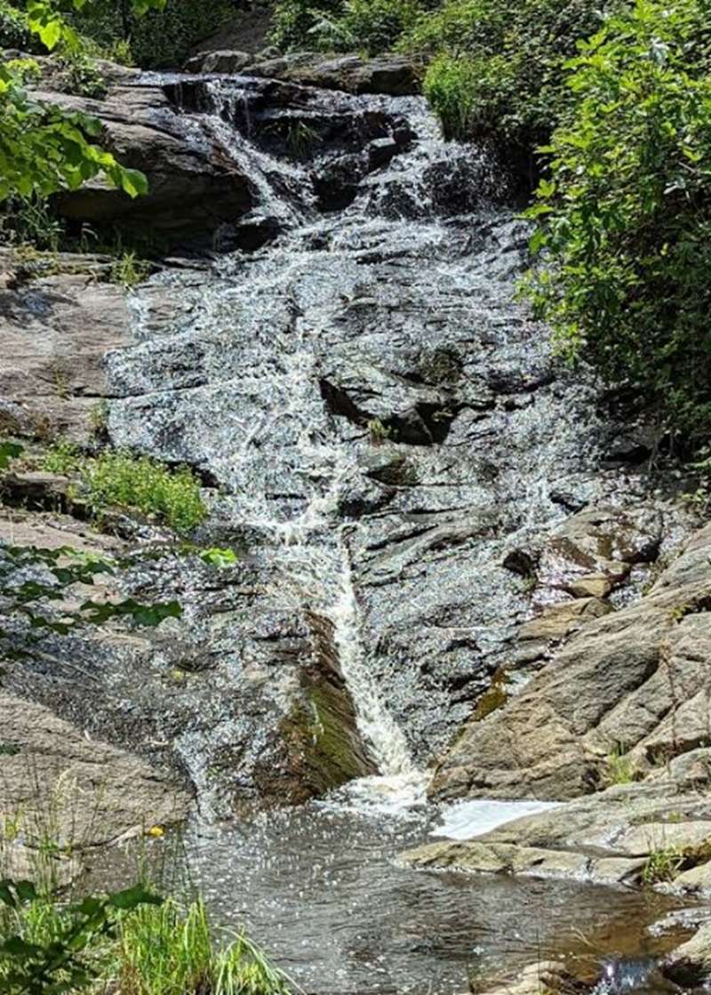
.jpg)
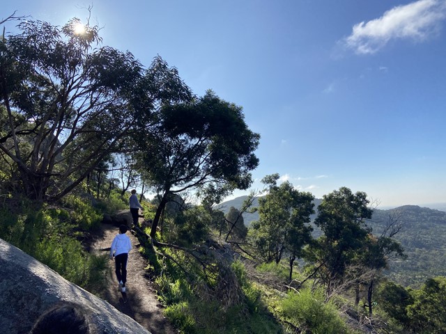
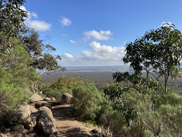
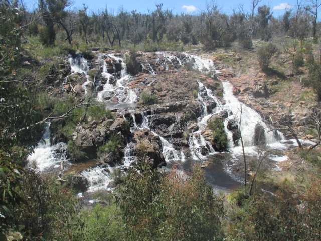
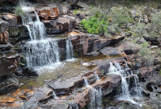
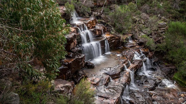
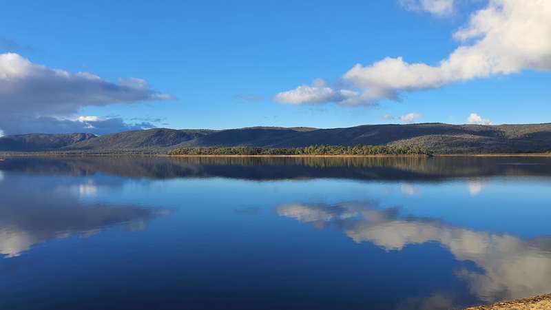
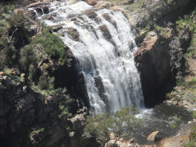


")