Skipton Historical Walk


The Skipton Historical Walk is a self-guided circuit through the centre of Skipton that highlights 14 buildings and sites associated with the town’s development. The route includes early cottages, churches, civic buildings, a historic hotel, the former police complex and Skipton Primary School.
Several buildings are privately occupied or not routinely open to visitors and should be viewed from public paths and roads.
Distance: 1.2 km circuit
Time: 30-60 minutes, depending on stops
Terrain: Mostly flat
Track: Footpaths, roadside paths and park paths
Start/Finish: Jubilee Park information board, Cnr Montgomery Street and Park Lane, Skipton
Skipton Historical Walk Map
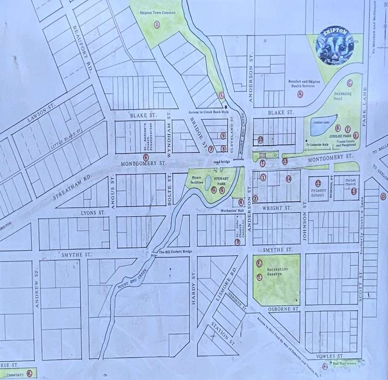
Historical locations:
- Skipton Hotel (1857): 23 Montgomery Street, Skipton
- Dunrobin Cottage (1852): 26 Wright Street, Skipton
- St John’s Roman Catholic Church: 3 Anderson Street, Skipton
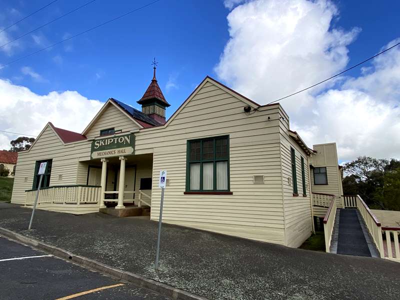
- Skipton Mechanics Hall (1905): 5 Anderson Street, Skipton
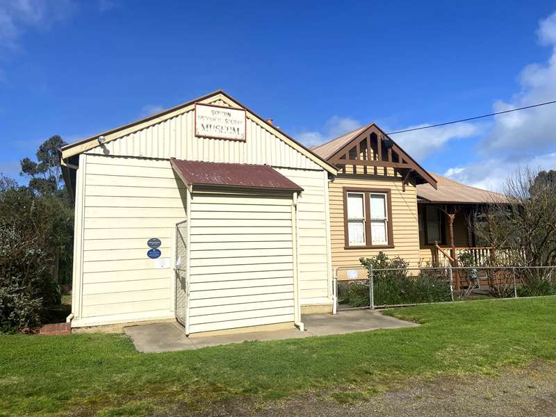
- Former Police Complex (from 1860): 33-39 Montgomery Street, Skipton
- St Andrew’s Presbyterian Church (1871): 48-50 Montgomery Street, Skipton
- Gepps Cottage (1852): 38 Montgomery Street, Skipton
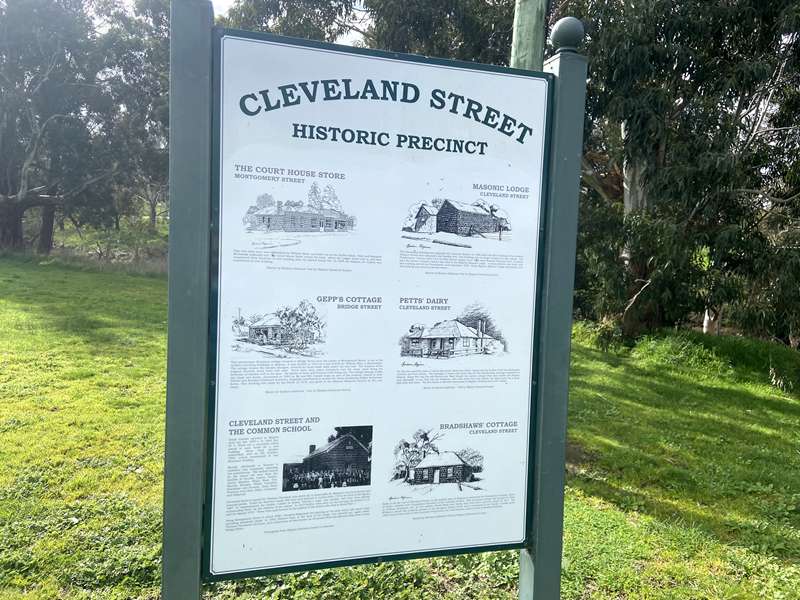
- Former Court House Store: 31 Montgomery Street, Skipton
- Former Common School (1864): 1 Cleveland Street, Skipton
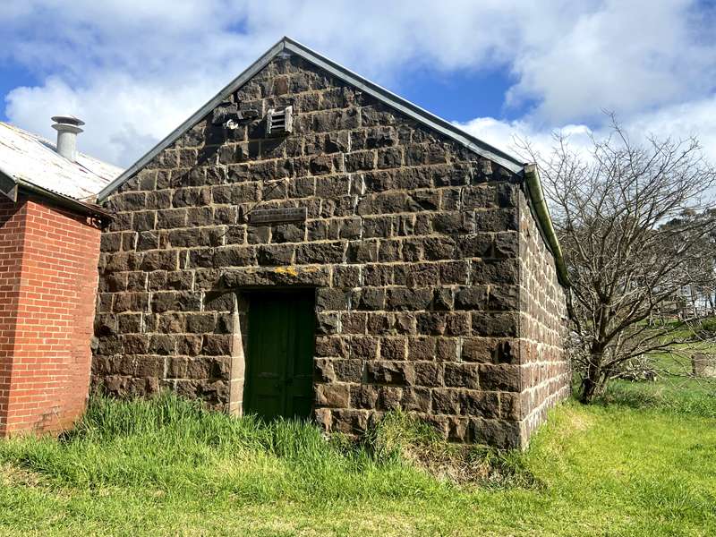
- Former Skipton Post Office (1913): 30 Montgomery Street, Skipton
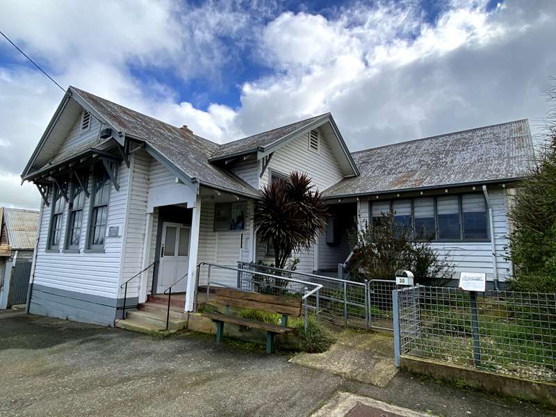
- Horse Trough (1925): Outside Country Grocers, 15 Montgomery Street, Skipton
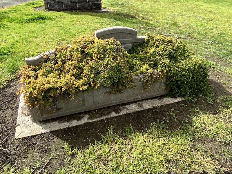
- Skipton Primary School No. 582 (1858): 7 Montgomery Street, Skipton
- Christ Church Anglican (1924): 1 Montgomery Street, Skipton
- Tully Lodge (1860s): 13 Montgomery Street, Skipton
Town Facilities on the Map
A – Hospital and Medical practice
B – Jubilee Park, Lake Walk, Barbeque
C – Swimming Pool
D – Golf and Bowls Club
E – Tennis Courts
F – Football, Netball and Cricket
G – Stewart Park, picnic tables
H – Rail Trail access
I – Creek Bank Walk
J – Skipton Town Common
K – Skipton Cemetery
T – Toilets
Location
Montgomery Street, Skipton 3361 View Map


