Lerderderg - O'Briens Crossing Circuit Walk


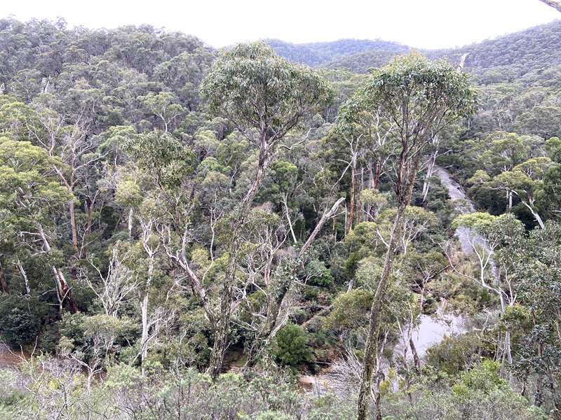
The 900m long (30 minutes) O'Briens Crossing Circuit Walk is a short walk that showcases the northern Lerderderg Gorge without the steep climbs required on the park's longer hikes. Starting from the O'Briens Crossing Day Visitor Area, the circuit follows bush tracks through open eucalypt forest before returning to the picturesque Lerderderg River. It is suitable for families with older children and anyone looking for a shorter walk.
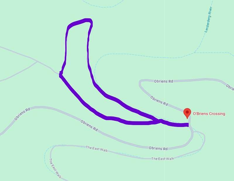
Beginning at the O'Briens Crossing Picnic Area, the route follows Byers Back Track uphill for 330m before splitting off to the right and traversing across the ridge before descending via a series of steps to the river. Turn right and follow the river back to the O'Briens Crossing Day Visitor Area.
The walk has some nice views of the river far below but the track beside the river was covered in flood debris and overgrown.
O'Briens Crossing Picnic Area which has toilets, shelter with seating around the edges, two unshaded picnic tables and an information board. Camping and collecting wood is not permitted. There is a bridge across the river to the campground.
O'Briens Crossing Circuit Walk Map
Camping
Camping is not permitted at O'Briens Crossing, which is now managed as a day visitor area. The former campground was closed to protect visitors from flooding and tree hazards.
The nearest camping options are:
- Lerderderg Campground - approximately 6 km from O'Briens Crossing via Upper Chadwick Track. This free campground offers toilets, picnic tables and fireplaces. It is dog-friendly (dogs must be kept on a lead), operates on a first-come, first-served basis, and no bookings or camping fees apply. Campers should bring their own drinking water.
- Ambler Lane Campground - a more remote bush camping area accessible by 4WD or on foot in dry weather only. This is a basic campground with no bookings or fees and is best suited to experienced campers who are fully self-sufficient.
- Blackwood Mineral Springs Caravan Park – for those wanting powered sites and additional facilities, this caravan park is located just a short drive from the walk.
Access for Dogs:
Dogs are permitted on lead at the picnic ground and on the walk.
How to Get There
The park lies north of Bacchus Marsh between Blackwood and Gisborne. Head west from Melbourne on the Western Freeway, taking the Greendale exit toward Greendale. Turn right at the Greendale roundabout and then after about 7.5 km, turn right into a dirt road called O'Briens Road and follow it for 6 km to O'Briens Crossing campground.
Photos:
Location
OBriens Crossing, Obriens Road, Lerderderg 3458 View Map
Web Links
→ www.parks.vic.gov.au/places-to-see/sites/o%27briens-crossing-day-visitor-area


