Daylesford - Tipperary Springs to Bryces Flat Walk



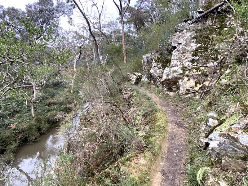
The Tipperary Springs to Bryces Flat walk is 7km in length and has a medium grade (reasonable level of fitness required). The walk has water races, mineral springs, picnic/BBQ area, gold mines, tunnels and high views of a creek and gorge.
Getting There: From Daylesford Information Centre, proceed north along Vincent St towards Hepburn Springs to the second roundabout. Turn left here and proceed for 1.7 km towards Ballarat. Make a right hand turn at Tipperary Springs Rd (Country Cuisine on left). Follow the signs to Tipperary Springs (1.1 km).
Map of Walk
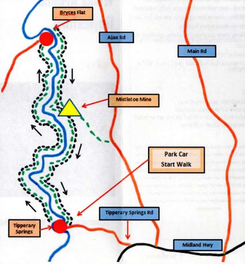
The Walk:
At Tipperary Springs, on a bend of Sailors Creek, there is a hand operated mineral water pump, information sign about the spring, picnic tables and drop toilets. The creek is quite shallow and is suitable for children to play in the water. It typically dries up around early to mid summer.
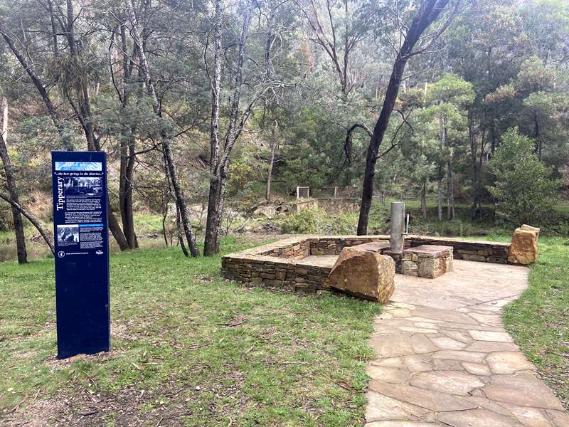
Before starting out, why not fill your water bottles with cool, fresh mineral water to enjoy on your walk. This is the best tasting mineral water we have tried on our travels in the region.
Cross the bridge over the creek and proceed up the steps. Note: Do not take any notice of the Horse Trail or Bald Hill signs. Keep the creek on your right. Follow the water race all the way to Bryces Flat picnic area. (3.6 km, 60 min).
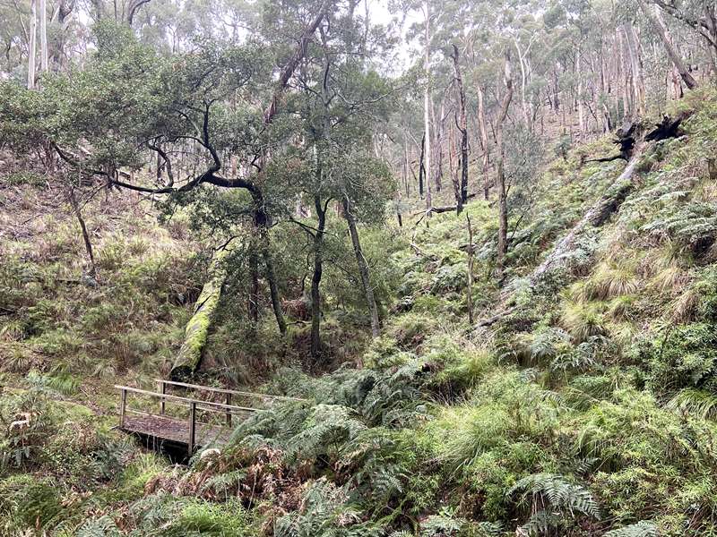
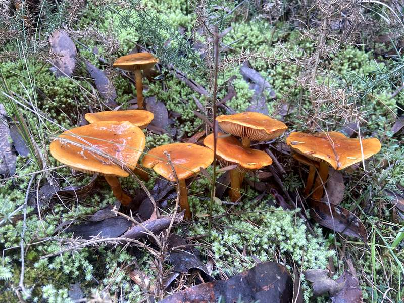
During winter there were lots of different fungi and mosses beside the path and also plenty of cube shaped wombat poop on the track.
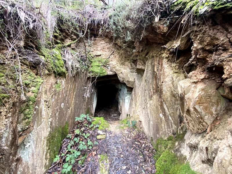
You will also pass a tunnel.
Most of the time the path is quite narrow with big drops on the side of the path. It's not a walk where you want to be tripping over your shoelaces - double knots please.
At Bryces Flat, there are stepping stones across Sailors Creek and a clearing with picnic table and wood fire barbecue. The creek is very shallow here and the creek bed has large flat rocks which are suitable for children to play in the water. It typically dries up around early to mid summer.
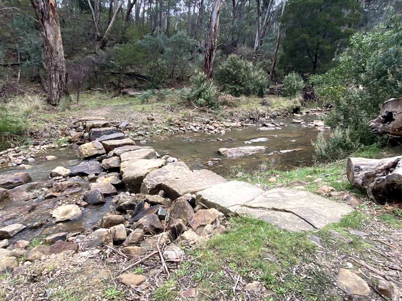
Walk up the steps and turn right at the sign back to Tipperary Springs. (3.3 km, 60 min). Follow the arrows and keep the creek on your right. Beware of some steep steps and take note of the Mistletoe Mine along the way.
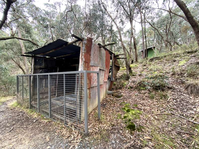
Enjoy the extensive views over the creek and the gorge as you walk along. You will eventually arrive back at Tipperary Springs picnic area where you can enjoy a picnic/ wood BBQ and another drink of the famous mineral water. Please note that toilet facilities are available here.
The Mistletoe Mine was reportedly the last working mine in the area and is heritage listed as of local significance. The Mistletoe Mine was one of many small quartz reef mines that operated around Bryces Flat after the initial alluvial gold rush of the 1850s. The surrounding Sailors Creek valley was first worked for rich alluvial gold from 1853 onwards by European and Chinese miners. As the easily won creek gold became scarcer, miners began following quartz reefs underground, resulting in mines such as the Mistletoe Mine.
Notes:
Walk Safely: Always carry water when walking in the bush. Wear sturdy footwear, appropriate clothing and sunscreen. Stick to the track - keep well away from mine shafts and tunnels.
Access Restrictions:
Bicycles, trail bikes and horses are not permitted on the trail.
Access for Dogs:
Dogs are permitted on leash.
Photos:
Location
Tipperary Springs Road, Daylesford 3460 View Map
Web Links
→ Tipperary Springs to Bryces Flat return (Walking Maps)


