Chewton Heritage Walk

The Chewton area is part of the Jaara country. The Dja Dja Wurrung people are the traditional owners and one of the five large language groups making up the Kulin nation of what is now known as Central Victoria.
The discovery of gold in 1851 changed this area forever. The Forest Creek diggings were to become the world's richest shallow alluvial goldfield ever. The attraction of gold so readily available at Forest Creek led to a mass influx of people from around the world. Many Australian families have connections to these goldfields.
Because Chewton grew so rapidly it was not surveyed and planned as neighbouring Castlemaine was. The rolling goldfields track has become the Pyrenees Highway and many of the historic buildings that lined it are still standing today. The frantic search for gold changed both the landscape and the surface soil, and the need for timber to shore up mines and feed the boilers of newly emerging industries decimated the native vegetation. The scars and the spoiling are still visible today.
This historic landscape has many sites of former mining activities, hotels, cemeteries, churches and schools. Further information can be sourced from the People and Places Display in the Chewton Town Hall. Note that many of the heritage sites are on private property. Please respect this.
Chewton's Monster Meeting
This protest meeting only months after the gold rush began was given the name because of the number of diggers attending, estimated to be between 12,000 and 20,000. The diggers were protesting about the proposal to increase the gold licence from 30 shillings to 3 pounds per month. This early protest was one of the first signs of the stirring of democracy, the unity and resistance demonstrated here predating the more celebrated uprisings in Bendigo (Red Ribbon Rebellion August 1853) and Ballarat (Eureka Stockade December 1854).
The Monster Meeting was held at the Shepherd's Hut, just east of the junction of forest and Wattle Creeks at 4 p.m. on the 15th of December, 1851. The diggers flew a flag to symbolise their cause, and it David Tulloch drawing of 1851 captured the scene. A plaque has been mounted on a rock at the site. It is believed to be the only site of a major Australian goldfields protest where the landscape remains unaltered.
Chewton Heritage Walk Map
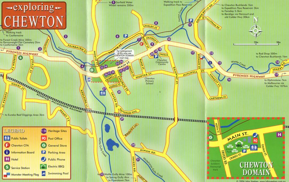
Note: This brochure is available from the Castlemaine Visitor Information Centre. Some sites could be visited with a car if the distance is too great to walk.
1. Panama Store c.1859
The Panama Refreshment Tent, forerunner to this building, was on this site in the early 1850's.
2. Ottery's Butcher Shop c.1860's
Of the 13 butcher's shops that served Chewton this is one of only two that survived.
3. Badgers Keep c.1860
Stone & timber buildings that reflected the consolidation of the Chewton township.
4. Castlemaine Diggings National Heritage Park c.2002
Declared in recognition of the goldfields' cultural and environmental heritage.
5. Garfield Water Wheel c.1887
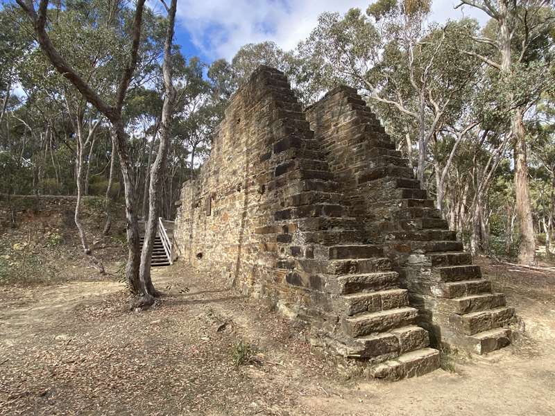
21 metres in diameter, it was the largest water wheel ever erected in Australia.
6. Argus Hill
Known locally as "Hollow Hill" due to the extent of the mining and tunnelling activity.
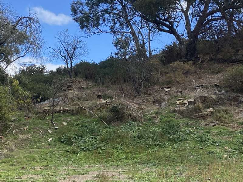
7. Stone walls in Forest Creek c.1880
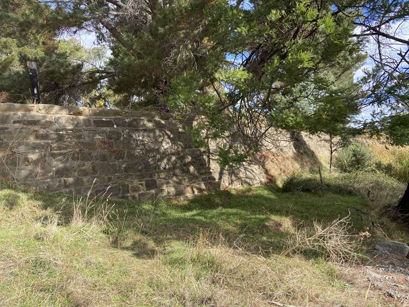
To protect Chewton from flooding, and extended after the severe 1889 flood.
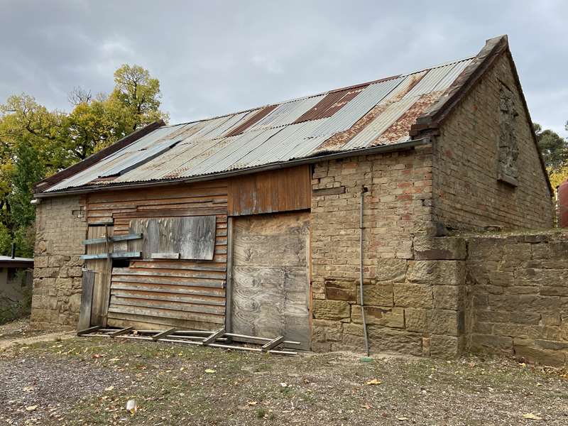
8. Shields Tannery c.1862
Important as Victoria's only parchment producers of that time.
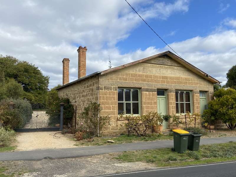
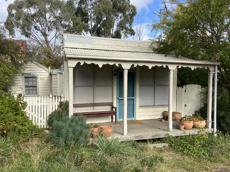
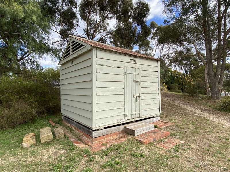
9. School Teacher's House c. late 1850's
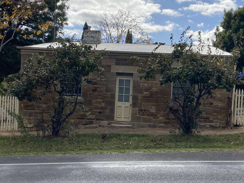
Residence of teacher Charles Hardy for many years to 1895.
10. Jesser/Ottery Store c. late 1850's
One of only 2 fruiterers when Main Street boasted over 70 businesses.
11. Monster Meeting Site
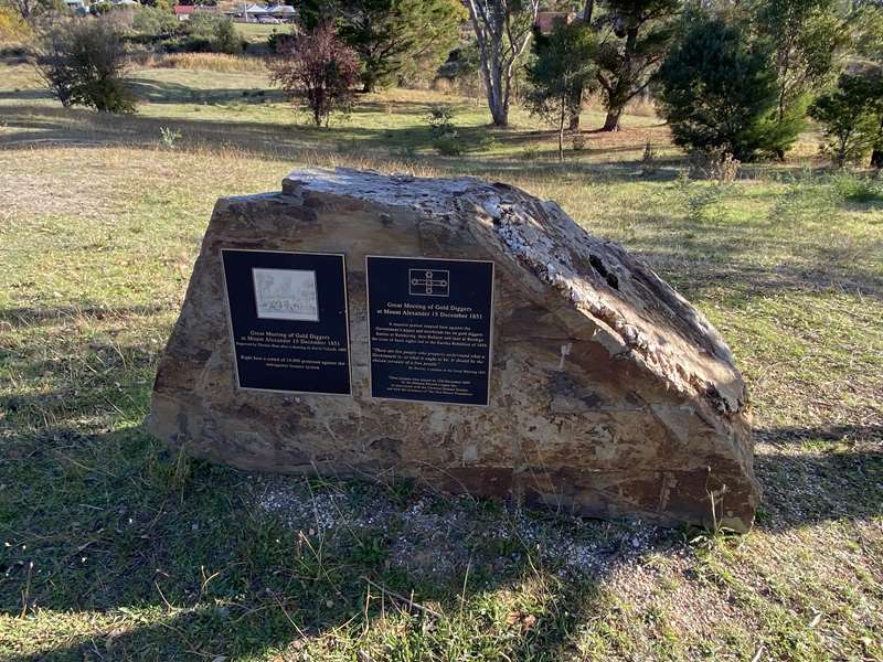
Site of the Shepherd's Hut where the Monster Meeting of Gold Diggers took place on the 15th of December 1851.
12. Oak Lodge c.1890's
Named after the large English oak that survived from the British and American Pleasure Gardens.
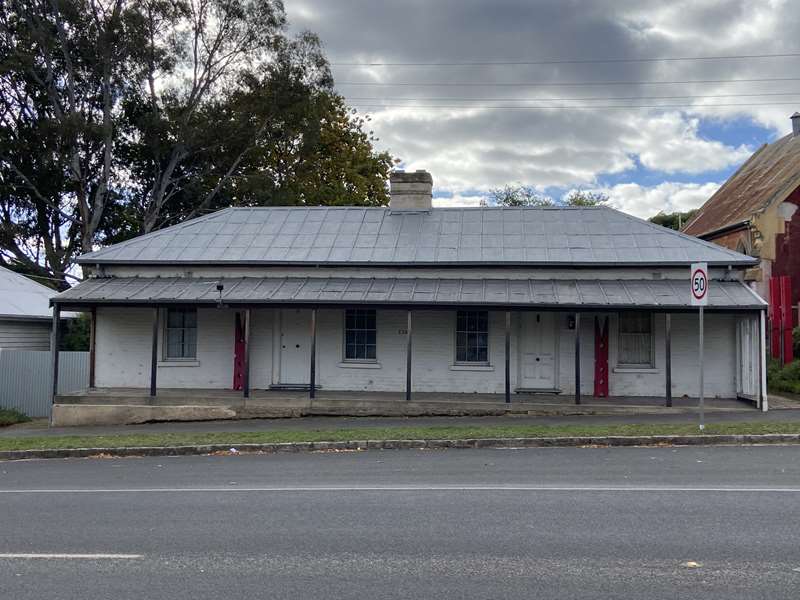
13. Norton Cottage c.1860
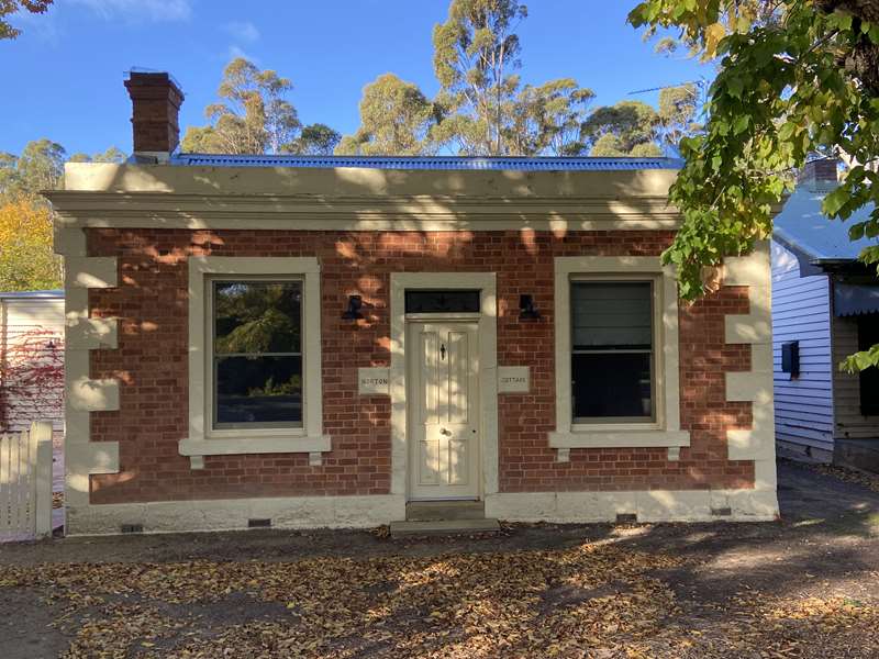
Home of J. B. Patterson who became Premier of Victoria. Later the home of Chewton Town Clerk J.W.Sparks.
14. Chewton Cemetery c.1859
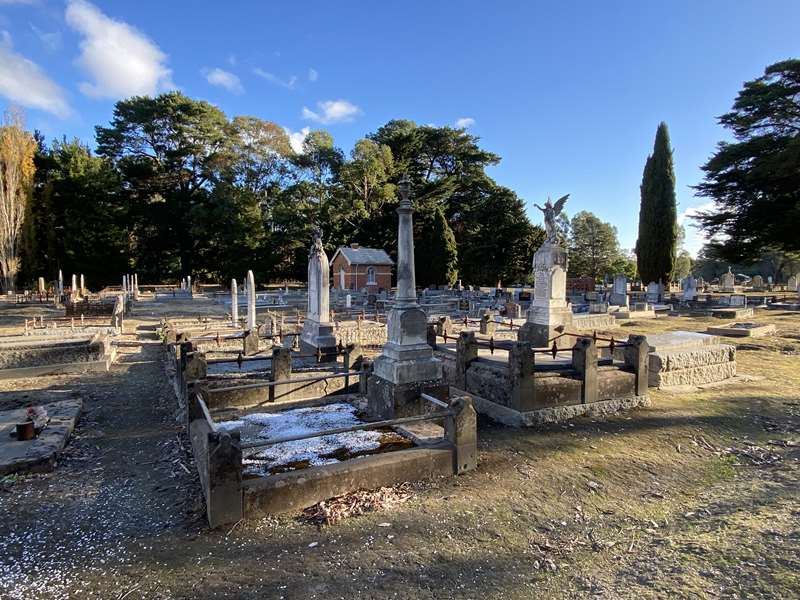
Gazetted as the town cemetery in place of smaller goldfield cemeteries.
15. Pyrenees Highway c.1850's
The winding roadway was the major route to the Mount Alexander Goldfields.
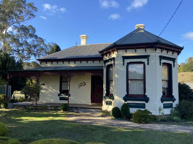
16. Mount Pleasant c.1859.
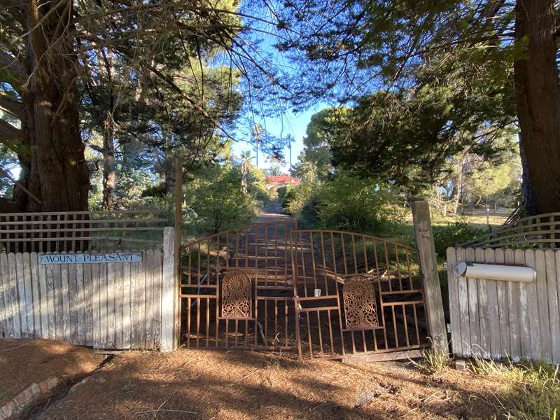
The house and garden were added to substantially in the period to 1911.
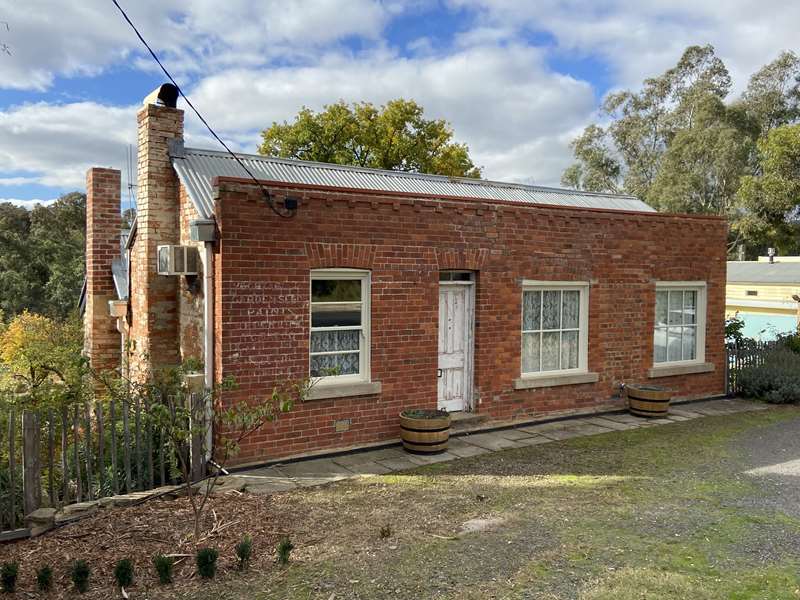
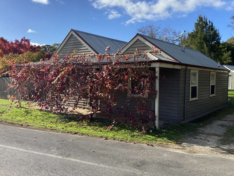
17. Miners' Cottages c. late 1860's
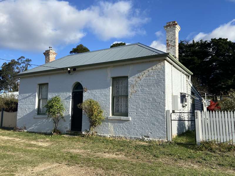
Two similar solid brick houses which contribute to the gold era streetscape.
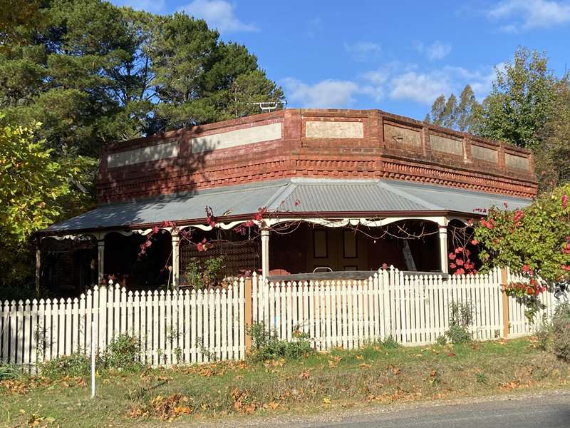
18. Mt Alexander Hotel c.1854
Rebuilt in stone by 1856, the upper storey was lost in an 1863 fire.
19. Wesleyan Church c.1861
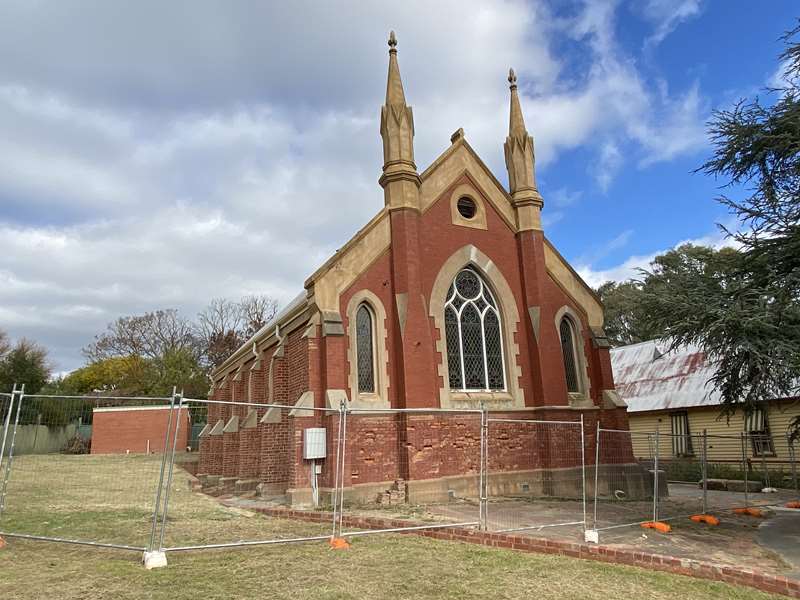
Became the Methodist Church, the Uniting Church and now a community centre.
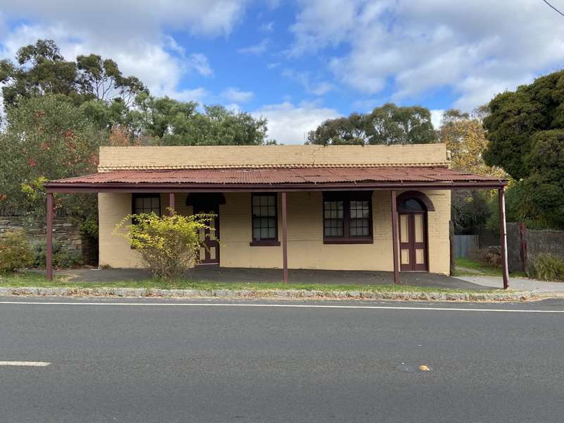
20. William's Stationery Store c.1860.
A modest shop typical of those that lined Chewton's main road in the 1860's.
21. Red Hill Hotel c.1854
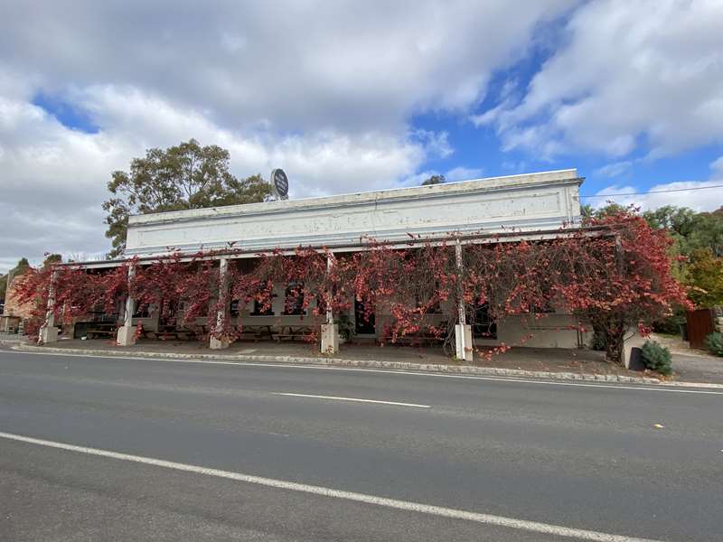
The first licensed hotel in the Chewton area and operating continuously since.
22. Assembly Hall c.1856
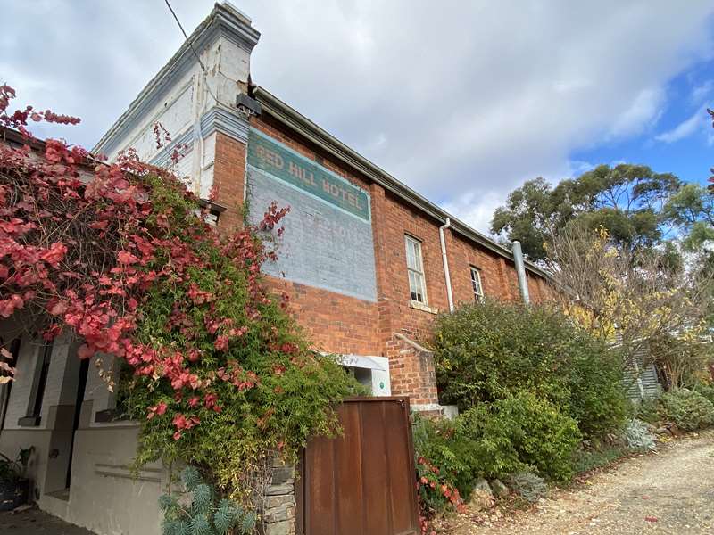
Adjoining the Red Hill Hotel it was a very important venue for court sittings, meetings and entertainment.
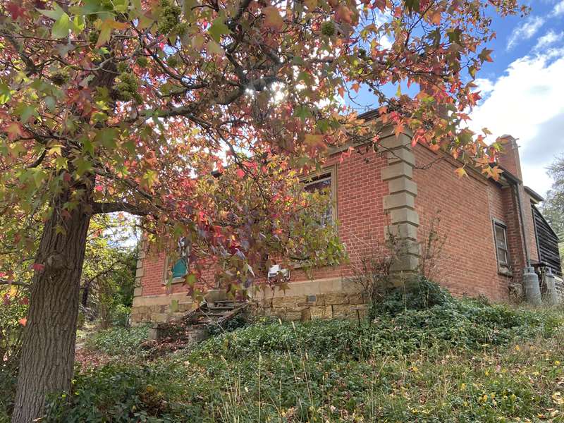
23. Mine Manager's House c.1862.
The house and office of the manager of the Francis Ormond Mine.
24. Chewton Post Office c.1879
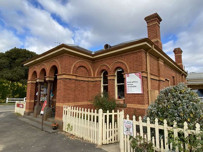
Opened after the gold rush and operating continuously since.
25. Town Hall c.1860
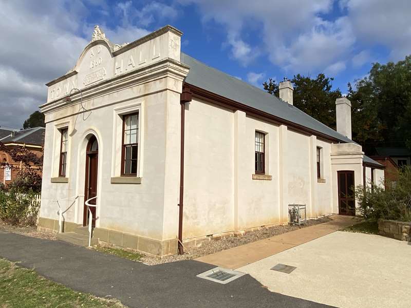
Built in 1858 and used as the Town Hall after 1860.
26. Police Lockup c.1850's
Portable lockup that moved with police presence on the goldfields.
27. Remains of the Park School c.1871.
A Common School that became State School No. 1054 from 1872 to 1911.
28. St John's Anglican Church c.1858.
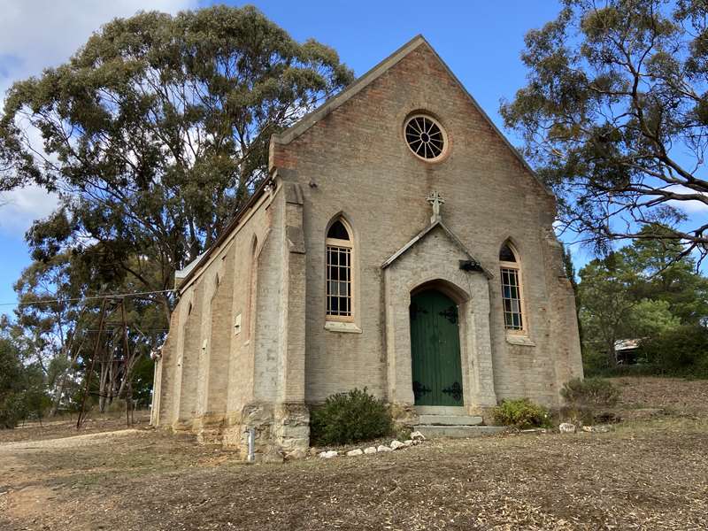
Set on Poverty Hill, originally surrounded by land reserved for a never used burial ground.
29. Railway Precinct c.1858-62
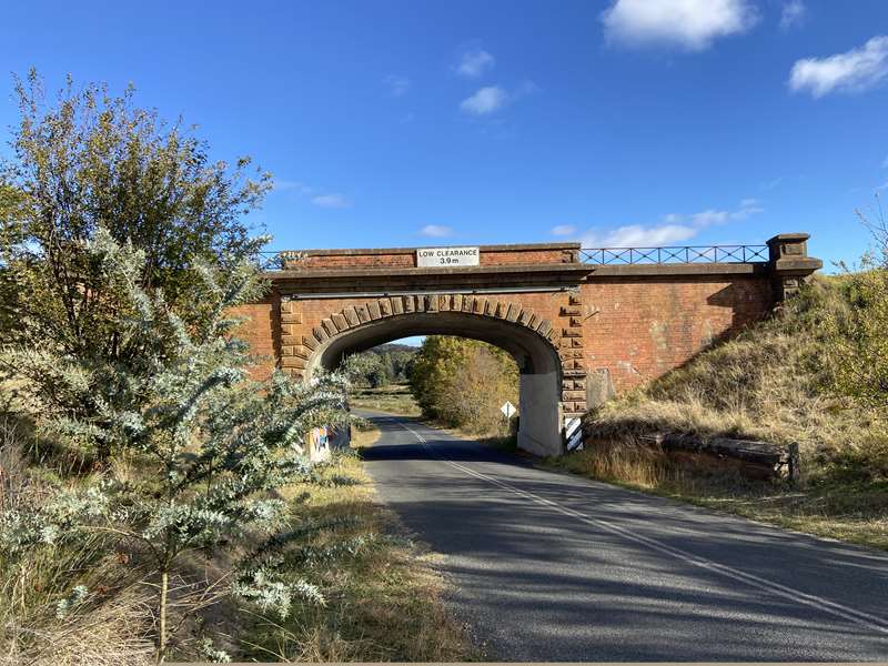
The 'iron highway' features many bridges, tunnels, culverts and viaducts.
30. Cornish Arms Hotel c.1860's
A hotel at a busy location till the early 1900's.
31. Blackwall Arms Hotel c.1864.
A hotel and store that serviced the popular Wattle Gully area.
32. Wattle Gully Mine c.1859
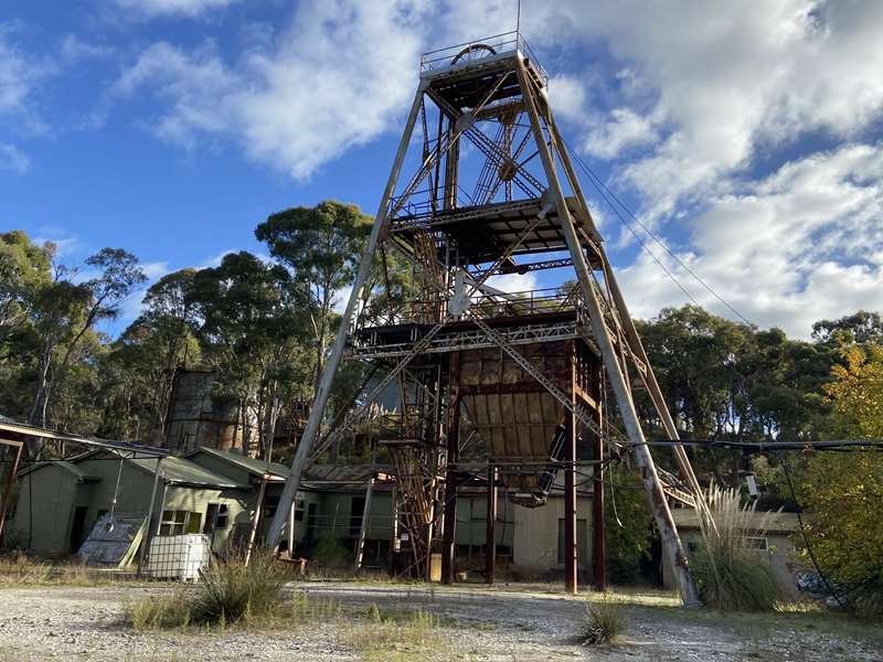
Operated till recently, and currently a centre for re-exploration of the Castlemaine gold fields.
33. Trewanha House c.1859
A terrace of unusual design with zinc coated iron tiles imported from England.
34. Primitive Methodist Church c.1861.
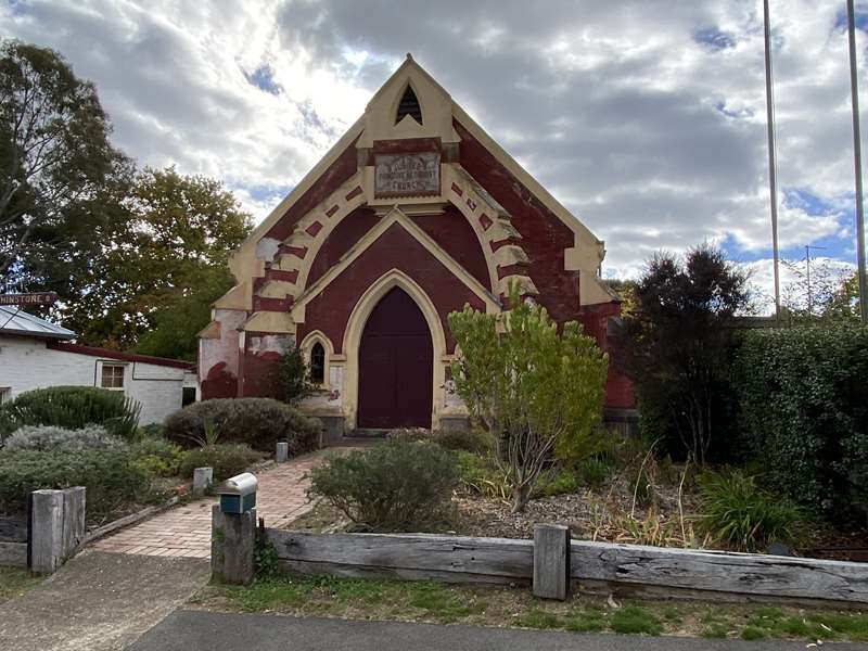
Described as the most elaborate structure of its kind in the neighbourhood of Castlemaine when it opened.
35. Penney Bakery c.1860s
Formerly Manchester House, it became a bakery in 1870.
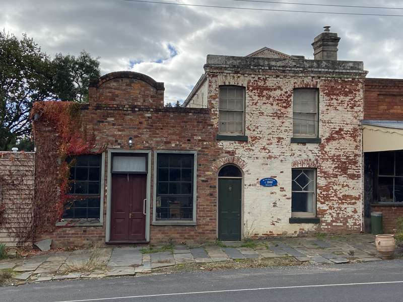
36. Bubb/Archer Butcher Shop c. 1858
Was part of a continuing streetscape in central Chewton.
Review:
This is a wonderful heritage walk which includes historical buildings, places such as the Monster Meeting site, a gold mine which was working until recently and the impressive Garfield Water Wheel. Most of the route can be done on foot but some places are most easily visited by car.
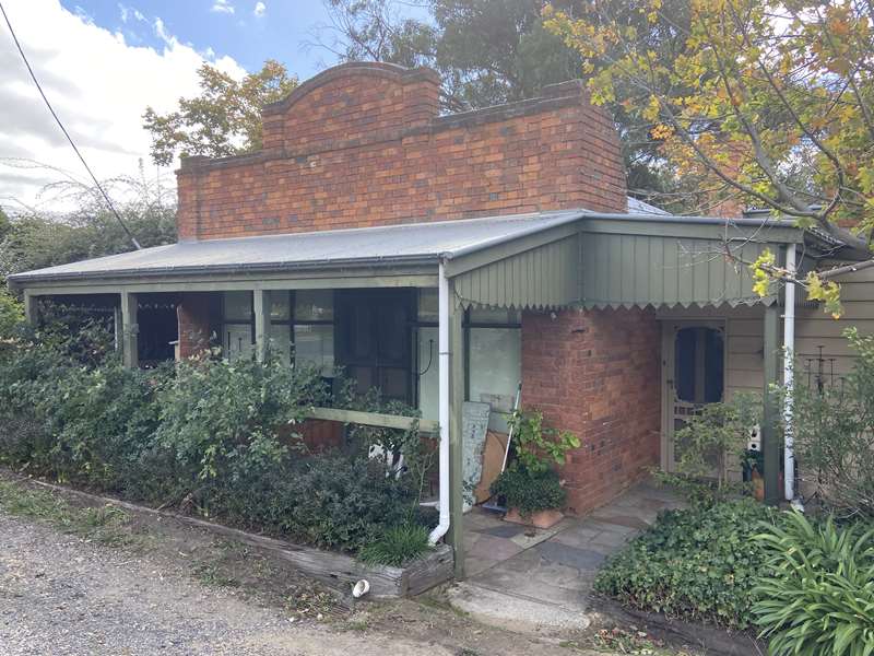
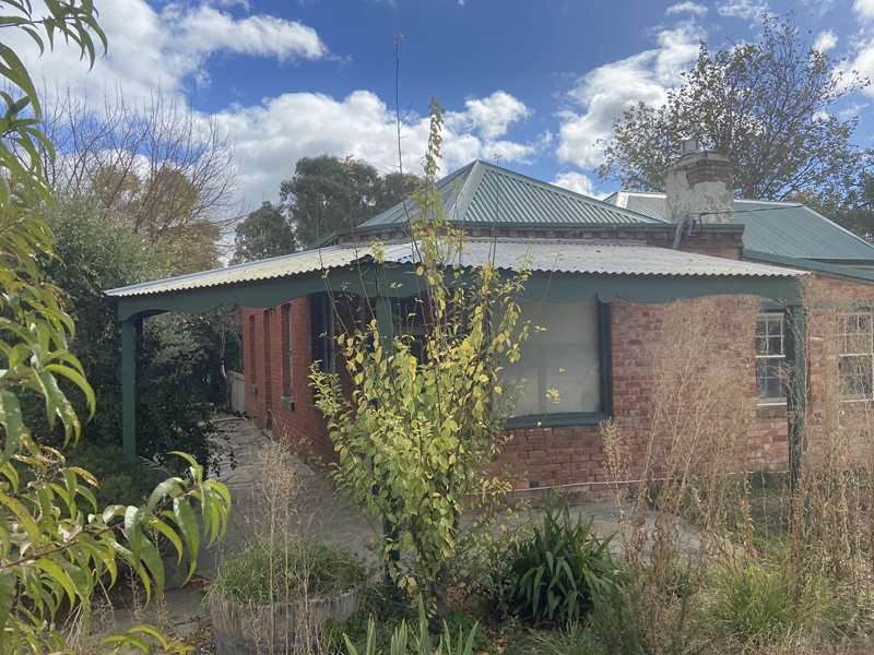
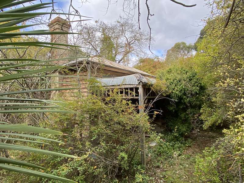
Photos:
Information by Chewton Domain Society
Location
Cnr Main Street and Church Street, Chewton 3451 Map
")


")